Lower Blackbush Copse
Wood, Forest in Wiltshire
England
Lower Blackbush Copse
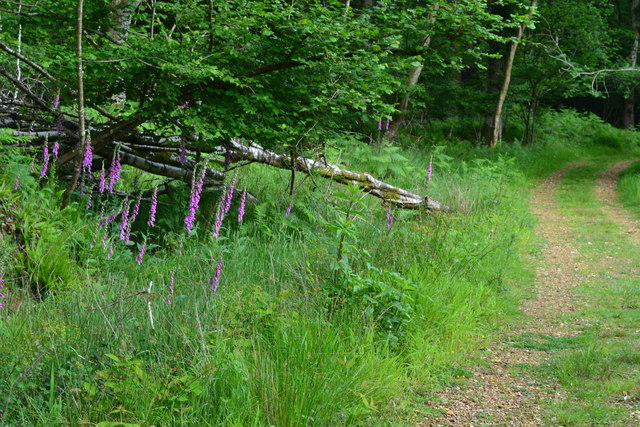
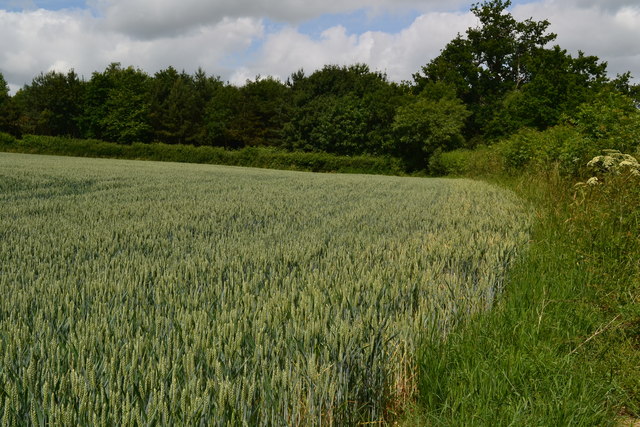
Lower Blackbush Copse is a picturesque woodland located in the county of Wiltshire, England. Situated near the village of Blackbush, this charming forest covers an area of approximately 50 acres, making it a tranquil and secluded spot for nature enthusiasts and outdoor lovers.
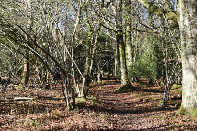
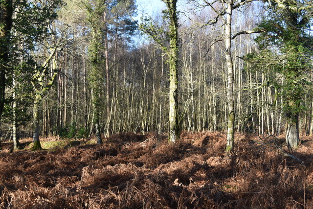
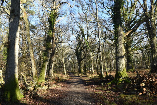
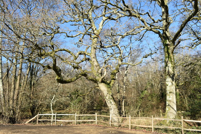
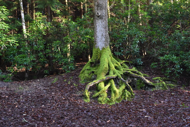
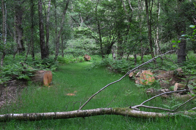
The copse is predominantly composed of a variety of deciduous trees, including oak, beech, and birch. These majestic trees provide a rich canopy, creating a sheltered environment for a diverse range of flora and fauna. In the spring, the forest floor comes alive with a vibrant carpet of bluebells, creating a breathtaking spectacle.
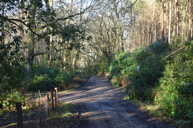
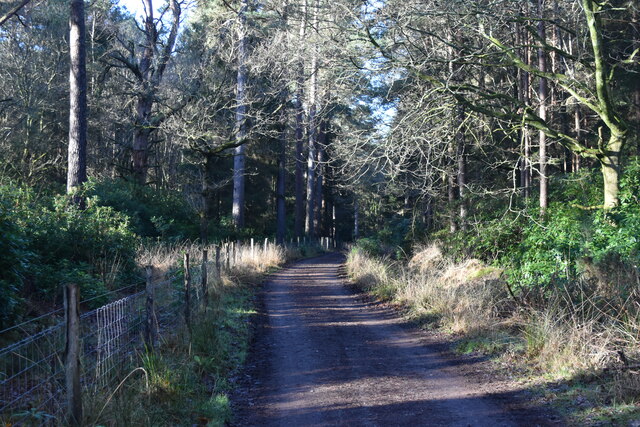
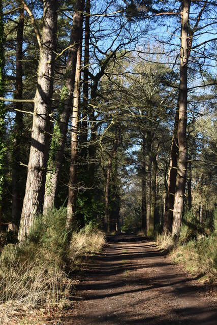
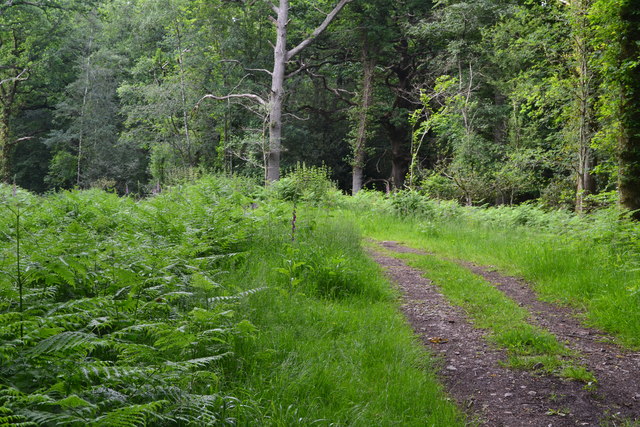
The woodland is crisscrossed by a network of well-maintained footpaths and trails, allowing visitors to explore the copse at their leisure. These paths provide access to the heart of the forest, where visitors can discover hidden clearings and meandering streams, adding to the peaceful ambiance of the area.
Lower Blackbush Copse is also home to a diverse array of wildlife. Birdwatchers will be delighted by the presence of various species, including woodpeckers, jays, and owls. Squirrels can be spotted darting through the treetops, while deer occasionally make an appearance, adding to the sense of natural tranquility.
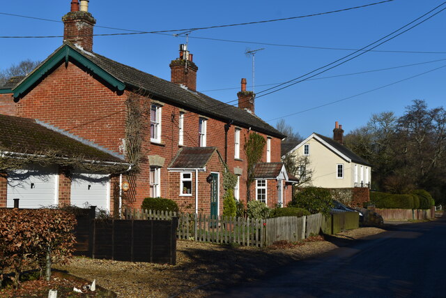
The copse is a popular destination for nature walks, picnics, and family outings. Its proximity to nearby villages and towns makes it easily accessible, while still retaining its remote and peaceful atmosphere. Whether visiting to immerse oneself in nature or simply seeking a moment of solitude, Lower Blackbush Copse offers a serene and enchanting woodland experience.
If you have any feedback on the listing, please let us know in the comments section below.
Lower Blackbush Copse Images
Images are sourced within 2km of 50.979018/-1.6840661 or Grid Reference SU2220. Thanks to Geograph Open Source API. All images are credited.


Lower Blackbush Copse is located at Grid Ref: SU2220 (Lat: 50.979018, Lng: -1.6840661)
Unitary Authority: Wiltshire
Police Authority: Wiltshire
What 3 Words
///mornings.staked.evoke. Near Whiteparish, Wiltshire
Nearby Locations
Related Wikis

Loosehanger Copse and Meadows
Loosehanger Copse and Meadows (grid reference SU215195) is a 56.27 hectare biological Site of Special Scientific Interest in Wiltshire, England, notified...

Langley Wood and Homan's Copse
Langley Wood and Homan's Copse (grid reference SU230206) is a 219.28 hectare biological Site of Special Scientific Interest in Wiltshire, notified in 1985...

Bohemia, Wiltshire
Bohemia is a hamlet in Wiltshire, England, in the parish of Redlynch. It lies about 1 mile (1.6 km) southeast of Redlynch and 7.5 miles (12 km) southeast...

Lover, Wiltshire
Lover (pronounced like Dover, ) is a small village in Wiltshire, England, close to the county border with Hampshire. It is part of the parish of Redlynch...
Hamptworth
Hamptworth is a hamlet in Wiltshire, England, in the extreme southeast of the county. It is in the civil parish of Landford, and lies within the boundaries...
Redlynch, Wiltshire
Redlynch is a village and civil parish about 6.5 miles (10.5 km) southeast of Salisbury in Wiltshire, England. The parish includes the villages of Morgan...

Church of St Birinus, Morgan's Vale
The Church of St Birinus is a Church of England church in Morgan's Vale, Wiltshire, England. It was designed by Charles Ponting and constructed in 1894...

Hale, Hampshire
Hale is a small village and civil parish in Hampshire, England. It lies on the border of the New Forest, overlooking the valley of the River Avon. The...
Nearby Amenities
Located within 500m of 50.979018,-1.6840661Have you been to Lower Blackbush Copse?
Leave your review of Lower Blackbush Copse below (or comments, questions and feedback).