Nunley Wood
Wood, Forest in Warwickshire Warwick
England
Nunley Wood
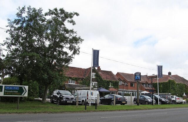
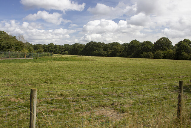
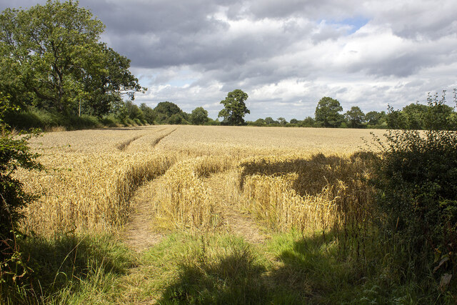
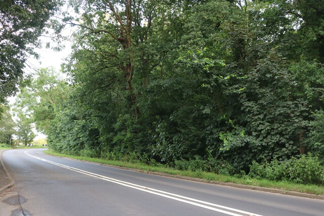
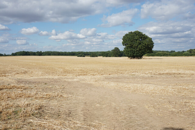
Nunley Wood is an enchanting woodland located in the county of Warwickshire, England. Situated near the village of Nunley, the wood covers an area of approximately 50 acres, offering a haven of tranquility away from the bustling city life.
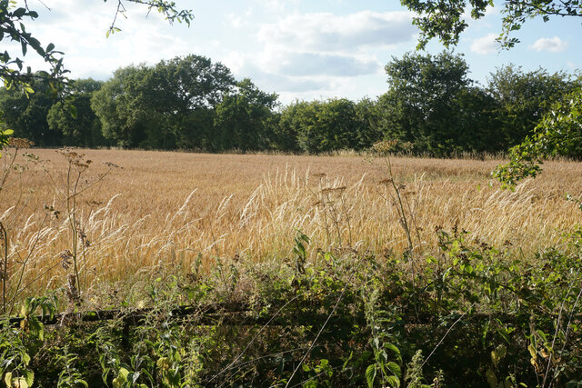
The wood is predominantly composed of native broadleaf trees such as oak, beech, and ash, which create a dense canopy overhead, providing shade and shelter to a rich variety of plant and animal species. The forest floor is adorned with a carpet of wildflowers including bluebells, primroses, and wood anemones, which burst into a riot of color during springtime.
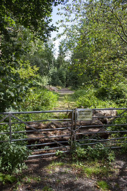
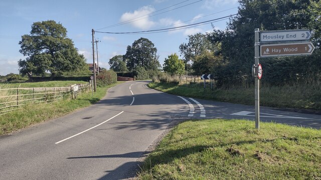
Several walking trails meander through Nunley Wood, allowing visitors to explore its picturesque surroundings at their own pace. These well-maintained paths lead to hidden clearings and offer breathtaking views of the surrounding countryside. There are also designated picnic areas, perfect for enjoying a peaceful lunch amidst nature's beauty.
The woodland is a refuge for a diverse range of wildlife. Birdwatchers can spot a multitude of species, including woodpeckers, jays, and tawny owls. Squirrels can often be seen darting through the trees, while badgers and foxes may make an occasional appearance during twilight hours.
Nunley Wood is managed by the local authorities, who ensure its preservation and conservation. It is open to the public year-round, providing a serene retreat for nature lovers, hikers, and families seeking a peaceful day out in the heart of Warwickshire's countryside.
If you have any feedback on the listing, please let us know in the comments section below.
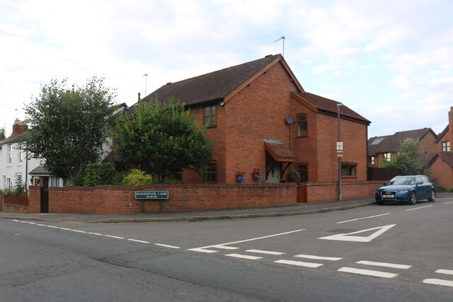
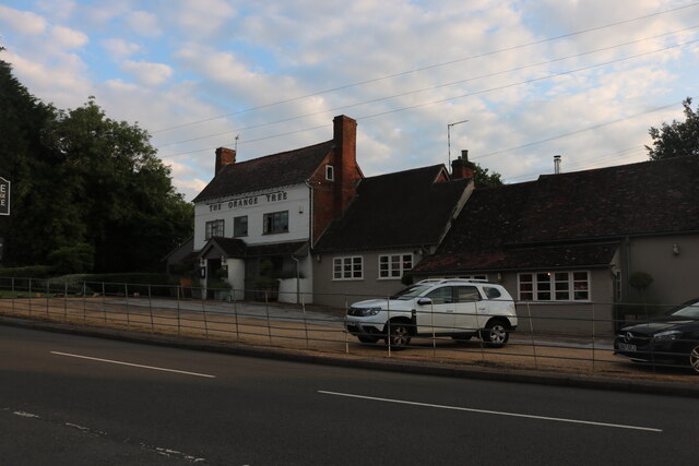
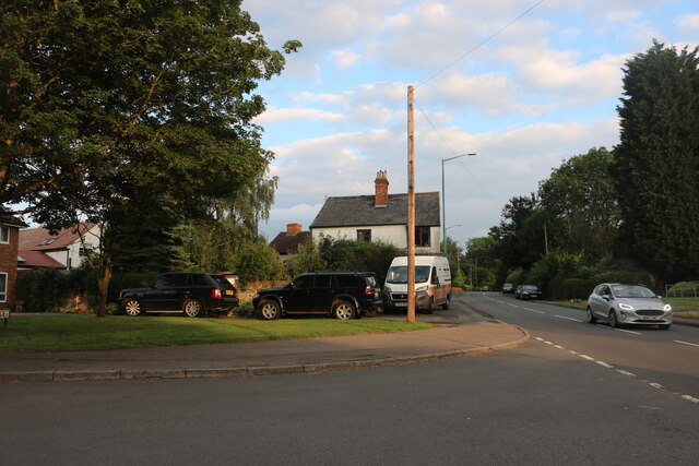
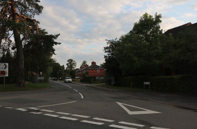
Nunley Wood Images
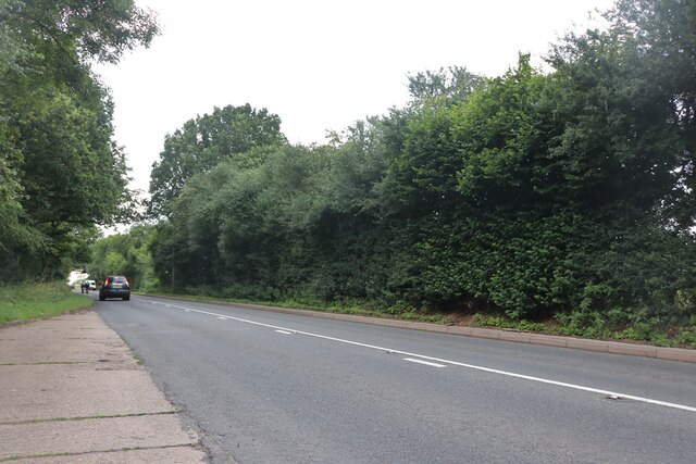
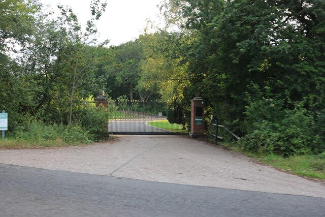
Images are sourced within 2km of 52.354553/-1.6743588 or Grid Reference SP2272. Thanks to Geograph Open Source API. All images are credited.
Nunley Wood is located at Grid Ref: SP2272 (Lat: 52.354553, Lng: -1.6743588)
Administrative County: Warwickshire
District: Warwick
Police Authority: Warwickshire
What 3 Words
///topping.cleanser.newsreel. Near Wroxall, Warwickshire
Nearby Locations
Related Wikis
RAF Honiley
Royal Air Force Honiley or RAF Honiley is a former Royal Air Force station located in Wroxall, Warwickshire, 7 miles (11 km) southwest of Coventry, England...
Baddesley Clinton (village)
Baddesley Clinton is a village and civil parish in Warwickshire, England, about 5+1⁄2 miles (9 km) southeast of Solihull. The village has Anglo-Saxon origins...

Banbury Music Radio
Banbury Music Radio was a local Internet radio station in Banbury, Oxfordshire, England that showcased bands from all around Oxfordshire, Berkshire, and...
Chadwick End
Chadwick End is a small village which straddles the border of Warwickshire and the West Midlands Metropolitan Borough of Solihull, situated 3 miles (5...

Honiley
Honiley is a small village and former civil parish, now in the parish of Beausale, Haseley, Honiley and Wroxall, in the Warwick district, in the county...

Wroxall, Warwickshire
Wroxall is a small village and former civil parish, now in the parish of Beausale, Haseley, Honiley and Wroxall, in the Warwick district, in the county...

Wren's Cathedral
Wren's Cathedral, properly the Church of St Leonard and now a cathedral of the Communion of Evangelical Episcopal Churches, was originally the Lady Chapel...
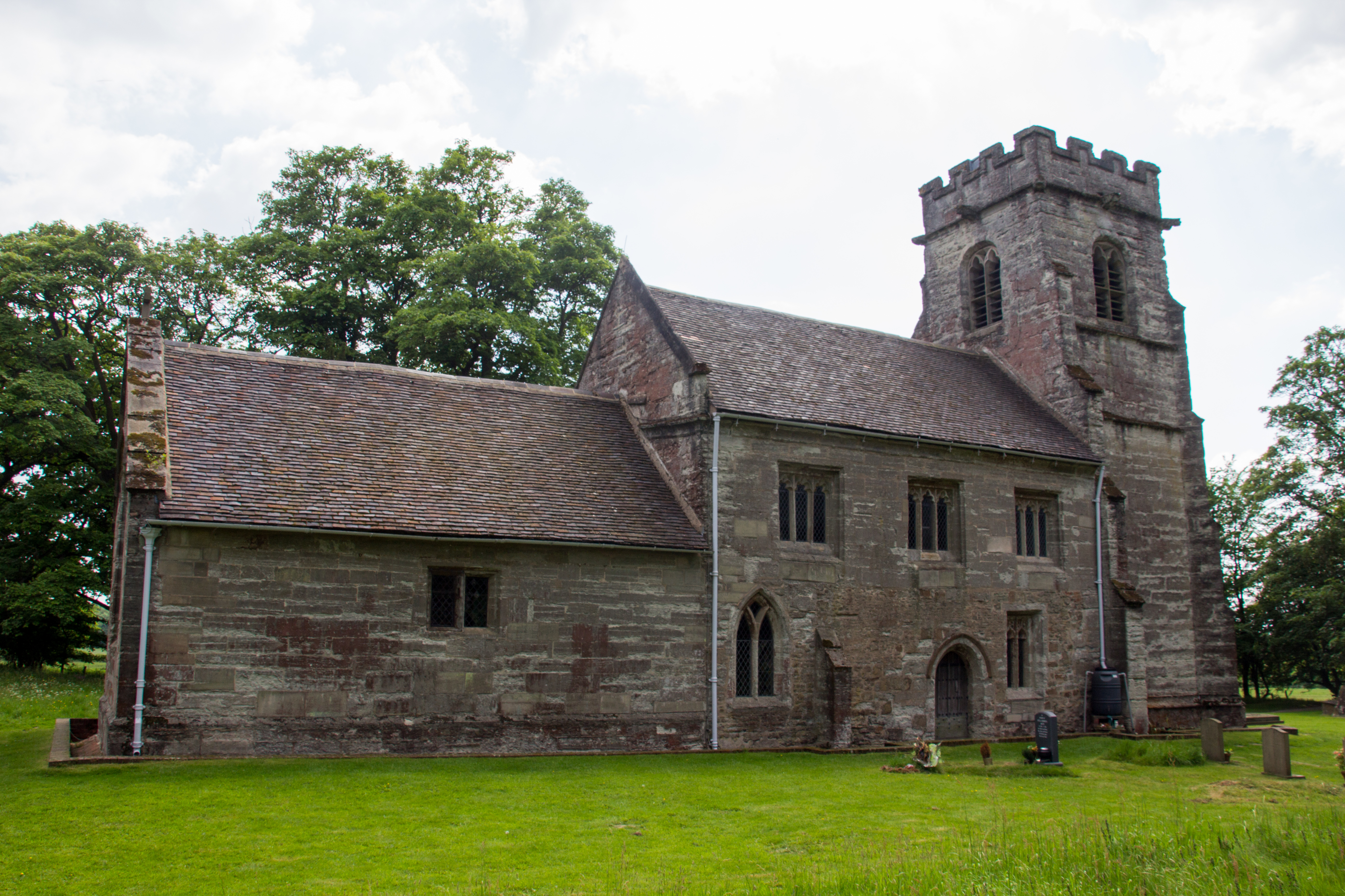
Wroxall Priory
Wroxall Priory was a medieval monastic house in Wroxall, Warwickshire, England. It was founded c.1135 by Hugh, Lord of Hatton and Wroxall in thanks for...
Nearby Amenities
Located within 500m of 52.354553,-1.6743588Have you been to Nunley Wood?
Leave your review of Nunley Wood below (or comments, questions and feedback).