The Gorse

Wood, Forest in Warwickshire Warwick

England

The Gorse

Rising Lane, Baddesley Clinton
Rising Lane, Baddesley Clinton Credit: David Howard

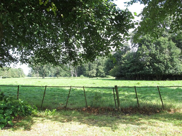
The Gorse, located in Warwickshire, is a picturesque woodland area known for its abundant gorse bushes and dense forest. Spanning over several hectares, this woodland is a popular destination for nature lovers and outdoor enthusiasts.

The main feature of The Gorse is its vast expanse of gorse bushes, which bloom with vibrant yellow flowers during the spring and summer months. These bushes create a stunning contrast against the greenery of the surrounding forest, attracting numerous visitors who come to witness this natural spectacle. The gorse also provides a habitat for various bird species, making it a haven for birdwatchers.

The woodland itself is characterized by a mixture of broadleaf and coniferous trees, creating a diverse and rich ecosystem. Ancient oak trees can be found scattered throughout the forest, providing a sense of history and adding to the natural beauty of the area. The forest floor is covered in a thick layer of moss and ferns, creating a magical atmosphere and offering a perfect setting for leisurely walks and exploration.

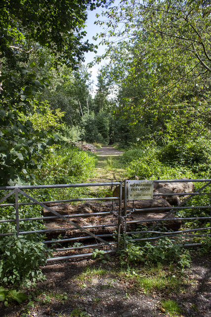
The Gorse is equipped with well-maintained walking trails, allowing visitors to navigate through the woodland and discover its hidden gems. These trails are suitable for people of all ages and fitness levels, making it an ideal destination for families and individuals seeking a peaceful retreat in nature.

Overall, The Gorse in Warwickshire is a stunning woodland area that offers a unique blend of gorse bushes, ancient trees, and diverse wildlife. It provides a tranquil escape from the hustle and bustle of everyday life, allowing visitors to immerse themselves in the beauty of nature.

If you have any feedback on the listing, please let us know in the comments section below.
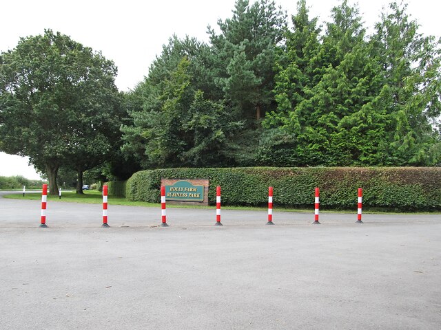
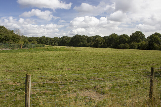
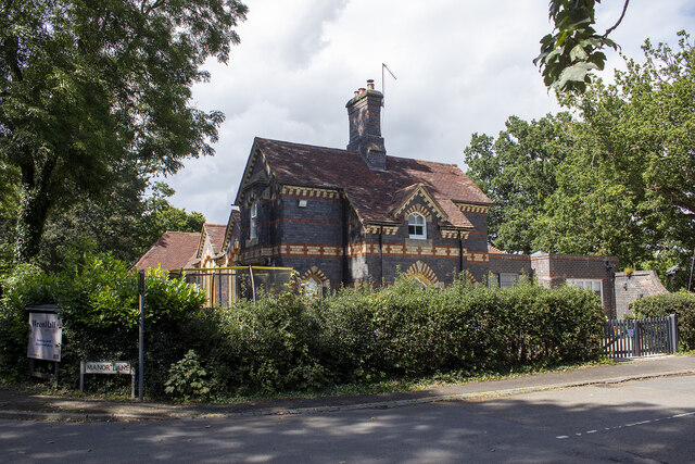
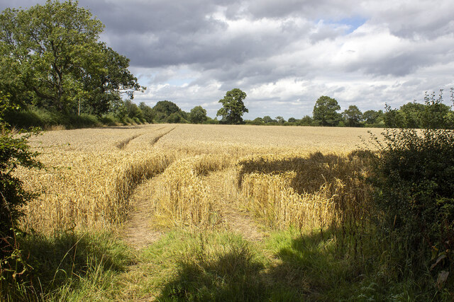
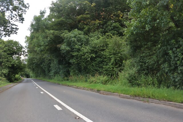
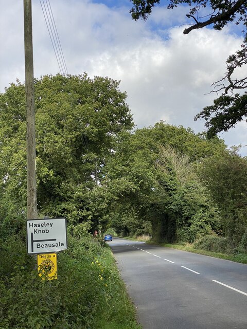
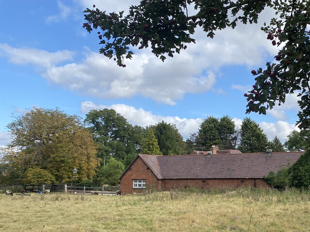
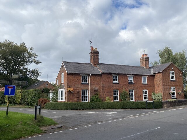
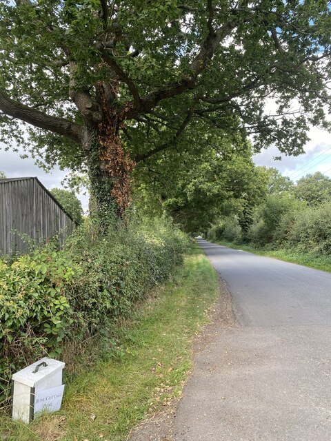
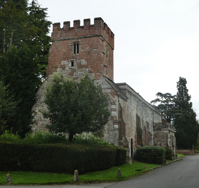
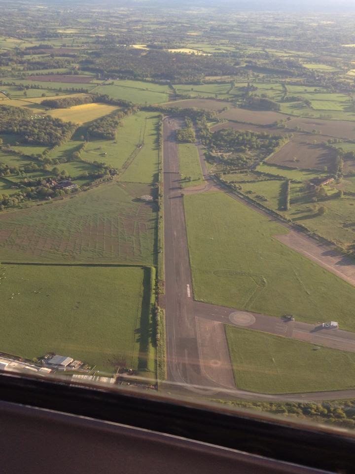
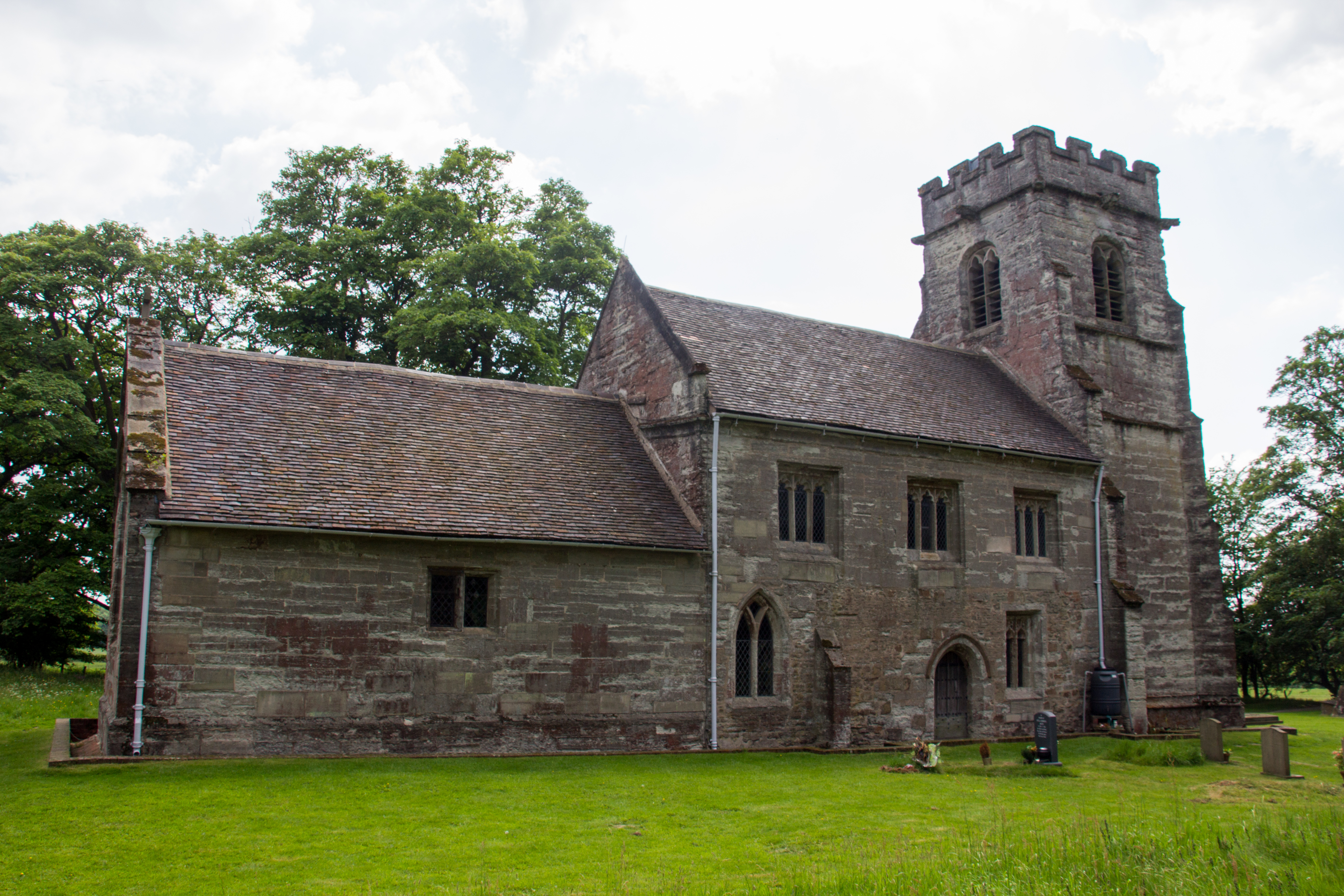
The Gorse Images

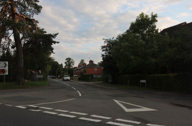
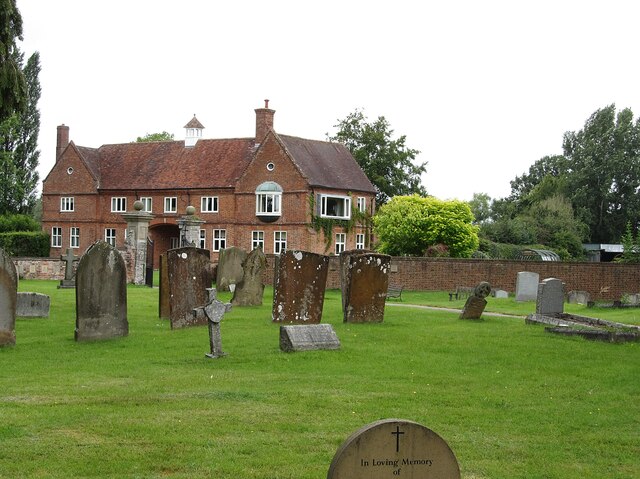
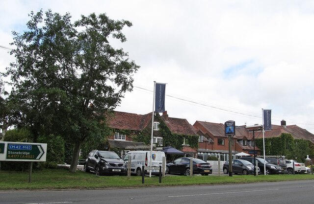
Images are sourced within 2km of 52.349435/-1.6671881 or Grid Reference SP2272. Thanks to Geograph Open Source API. All images are credited.

Rising Lane, Baddesley Clinton
Wroxall Abbey Estate Farmland near the Lodge.
Wroxall Abbey Estate
Farmland near the Lodge.
Honiley-North Lodge View from the churchyard.
Honiley-North Lodge
View from the churchyard.
Honiley Boot-The Phantom Coachman Public House.
Honiley Boot-The Phantom Coachman
Public House.
Holly Farm Business Park On the A4177.
Holly Farm Business Park
On the A4177.
Woodland off School Lane Field and woodland off School Lane. Perimeter fence to Jaguar Land Rover facility
Woodland off School Lane
Field and woodland off School Lane. Perimeter fence to Jaguar Land Rover facility
Wroxall School House
Field off Manor Lane
Clattyland Wood Track entering Clattyland Wood
Clattyland Wood
Track entering Clattyland Wood
Birmingham Road, Baddesley Clinton
The entrance to Pheasant Lakes Farm, Wroxall
Birmingham Road, Wroxall
Birmingham Road approaching Five Ways
Signpost near road junction Turn right for Beausale, straight ahead for Haseley Knob.
Signpost near road junction
Turn right for Beausale, straight ahead for Haseley Knob.
Cheney’s Farm
Cheney’s Farm
Haseley Knob House at road junction to Beausale.
Haseley Knob
House at road junction to Beausale.
Rose Cottage post Alongside the road from Beausale.
Rose Cottage post
Alongside the road from Beausale.
Wroxall Abbey - Church of St Leonard Dating originally from c.1315 with the west tower (seen prominently here) added in c.1663. It takes its dedication from the former St Leonard's priory, the ruins of which lie to its south. The church is to the east of the C19th Wroxall Abbey which was never actually an abbey. See shared description below for more information and links.
Wroxall Abbey - Church of St Leonard
Dating originally from c.1315 with the west tower (seen prominently here) added in c.1663. It takes its dedication from the former St Leonard's priory, the ruins of which lie to its south. The church is to the east of the C19th Wroxall Abbey which was never actually an abbey. See shared description below for more information and links.
Show me another place!

The Gorse is located at Grid Ref: SP2272 (Lat: 52.349435, Lng: -1.6671881)

Administrative County: Warwickshire

District: Warwick

Police Authority: Warwickshire

What 3 Words

///ballots.paddocks.perkily. Near Wroxall, Warwickshire

Related Wikis

Nearby Amenities

Located within 500m of 52.349435,-1.6671881
Power: pole
Source: bing
Lat/Long: 52.3519416/-1.6688034
Power: pole
Source: bing
Lat/Long: 52.3521391/-1.6702022
Power: pole
Source: bing
Lat/Long: 52.3523373/-1.6716157
The data included in this document is from www.openstreetmap.org. The data is made available under ODbL.

Have you been to The Gorse?

Leave your review of The Gorse below (or comments, questions and feedback).