Hell's Kitchen Coppice
Wood, Forest in Warwickshire Stratford-on-Avon
England
Hell's Kitchen Coppice
Hell's Kitchen Coppice is a picturesque woodland located in Warwickshire, England. Spanning over an area of approximately 50 acres, this enchanting forest is renowned for its natural beauty and diverse wildlife. The name "Hell's Kitchen" is believed to have originated from the dense and wild nature of the woods, which can be challenging to navigate through.
The coppice consists primarily of broadleaf trees, including oak, beech, and ash, creating a rich and vibrant canopy that provides a sanctuary for numerous bird species. The forest floor is adorned with a colorful carpet of wildflowers, such as bluebells and primroses, adding to the area's charm. Additionally, the tranquility of the woodland is enhanced by the soothing sounds of a nearby babbling brook.
Hell's Kitchen Coppice offers visitors a range of activities to enjoy amidst its natural splendor. Numerous walking trails meander through the woods, allowing visitors to explore the area at their leisure. The forest is also a popular spot for birdwatching, with various species, including woodpeckers and tawny owls, frequently spotted amongst the trees. Nature enthusiasts can also indulge in wildlife photography, capturing the beauty of the woodland's inhabitants.
As a protected area, Hell's Kitchen Coppice plays a vital role in preserving the biodiversity of Warwickshire. It serves as a valuable habitat for a variety of flora and fauna, contributing to the overall ecological balance of the region. With its breathtaking scenery and abundant wildlife, this woodland gem offers visitors a unique and immersive experience in the heart of nature.
If you have any feedback on the listing, please let us know in the comments section below.
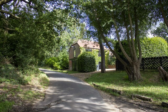
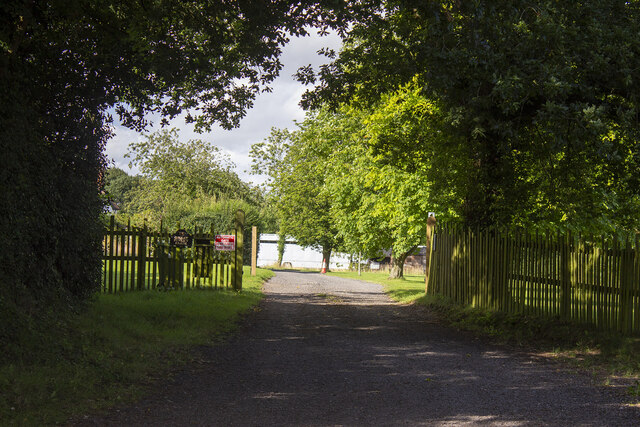
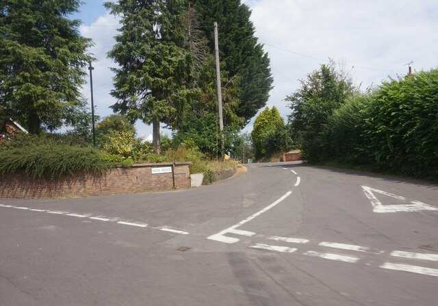
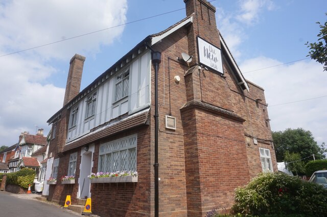
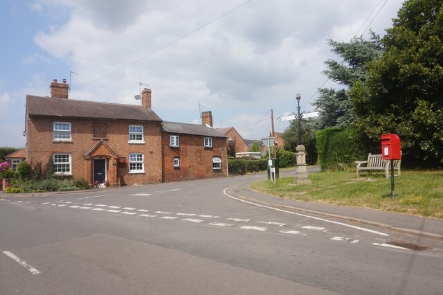
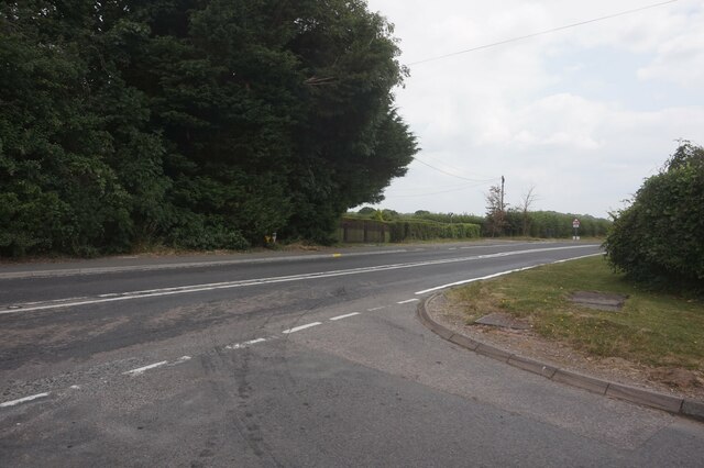
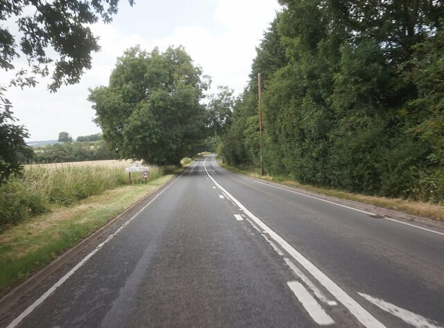
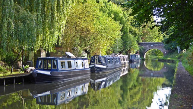
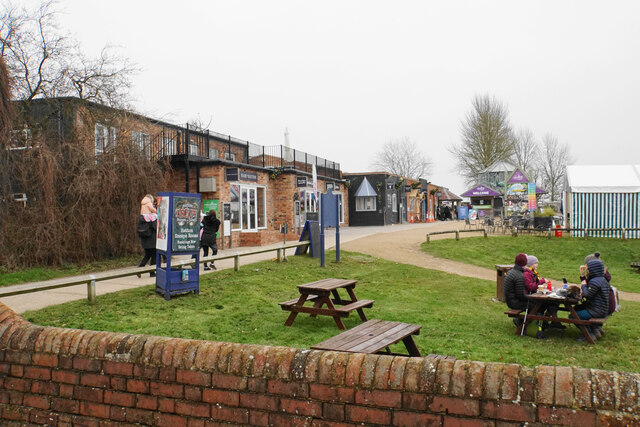
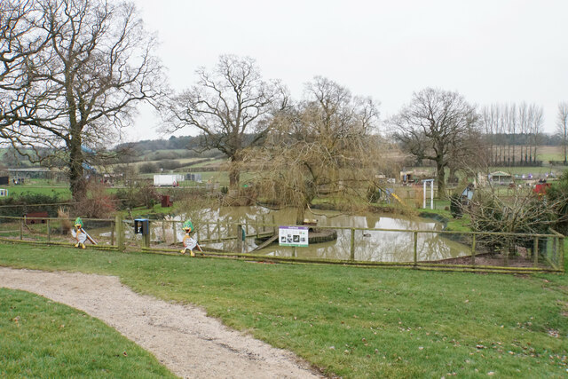
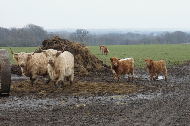
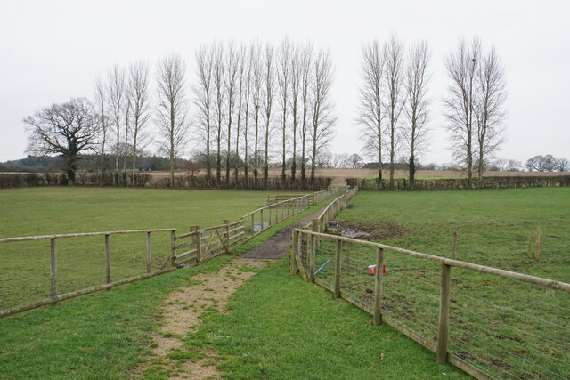
Hell's Kitchen Coppice Images
Images are sourced within 2km of 52.282432/-1.6676313 or Grid Reference SP2264. Thanks to Geograph Open Source API. All images are credited.


Hell's Kitchen Coppice is located at Grid Ref: SP2264 (Lat: 52.282432, Lng: -1.6676313)
Administrative County: Warwickshire
District: Stratford-on-Avon
Police Authority: Warwickshire
What 3 Words
///crest.sandbags.boring. Near Hatton, Warwickshire
Nearby Locations
Related Wikis
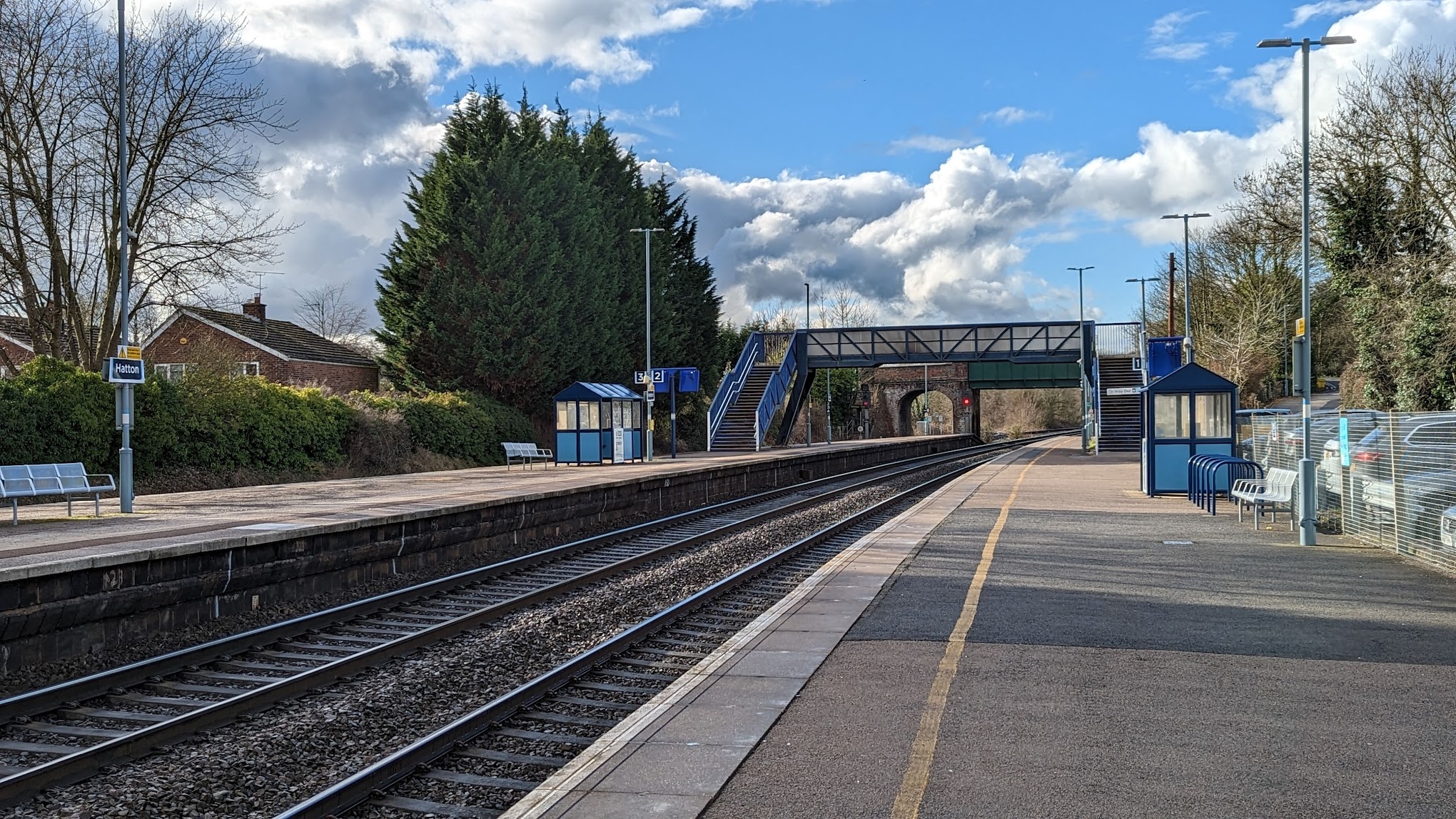
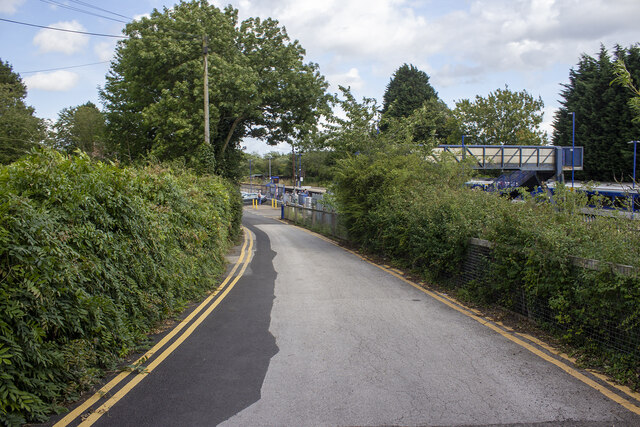
Hatton railway station (England)
Hatton railway station takes the name of the village of Hatton in Warwickshire, England, although it is about 1 mile (1.6 km) from the village. It is situated...

Pinley Priory
Pinley Priory, also called Pinley Abbey, was a Cistercian nunnery in the parish of Rowington in Warwickshire, England. It was founded in the early 12th...

Claverdon railway station
Claverdon railway station serves the village of Claverdon in Warwickshire, England. It is managed by West Midlands Railway, although most of the services...
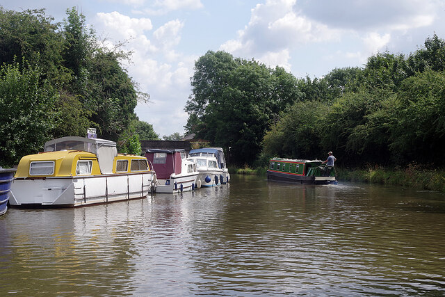
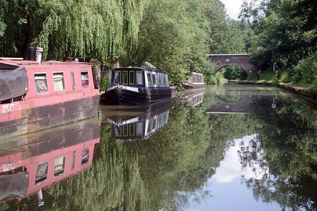
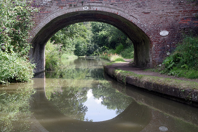
Hatton Locks
The Hatton Locks or Hatton Flight are a flight of 21 locks on the Grand Union Canal in Hatton, Warwickshire, England. The flight spans less than 2 miles...

Hatton, Warwickshire
Hatton is a village and civil parish about 4 miles (6 km) west-northwest of Warwick, in the Warwick District of Warwickshire in England. The parish had...
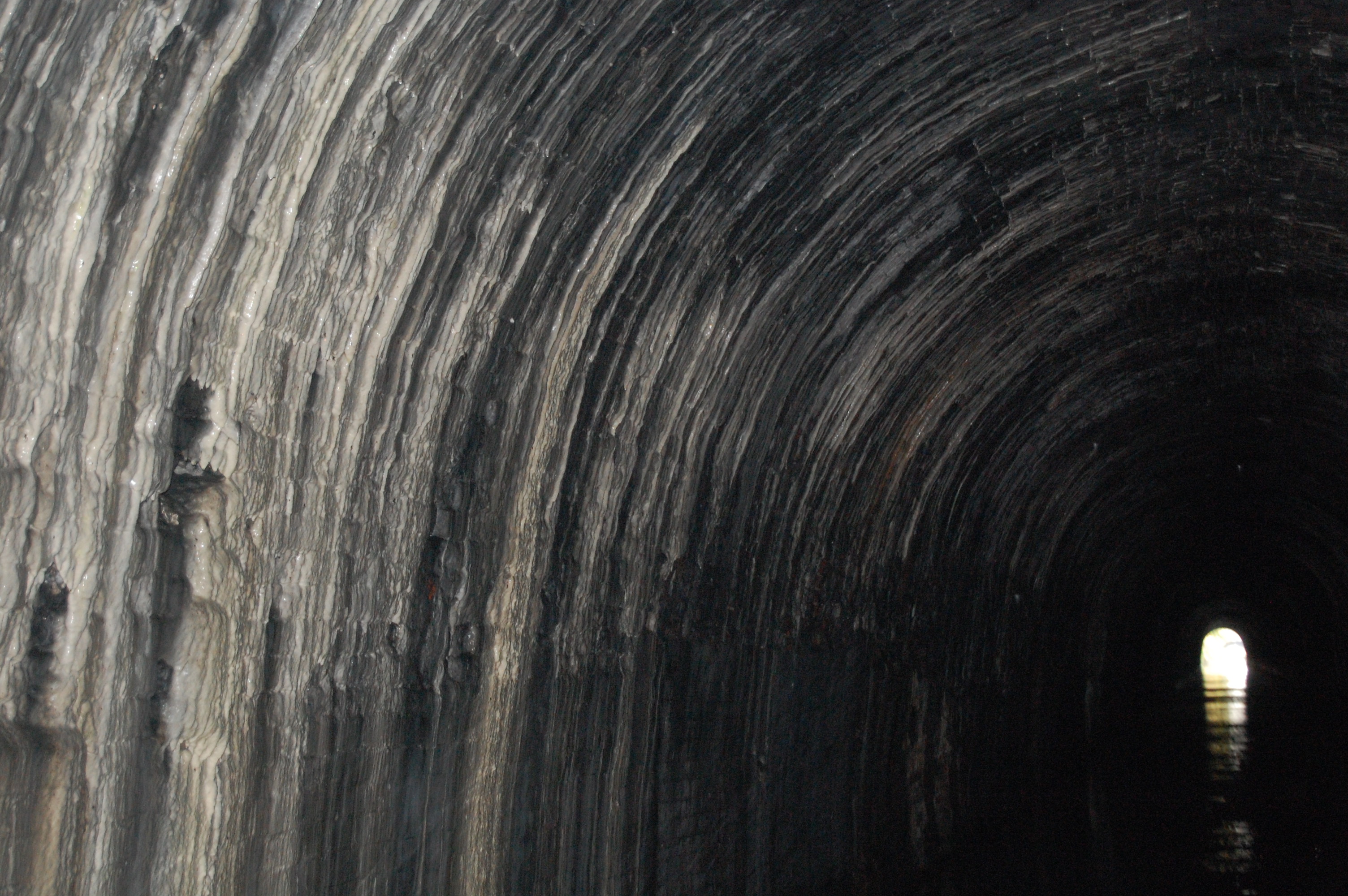
Shrewley Tunnel
Shrewley Tunnel is a canal tunnel near Shrewley, Warwickshire, England, which opened in 1799. It became part of the Grand Union Canal in 1929. == History... ==

Shrewley
Shrewley is a village and civil parish in Warwickshire, England, about 5 miles north-west of Warwick. It consists of Little Shrewley, and Shrewley Common...
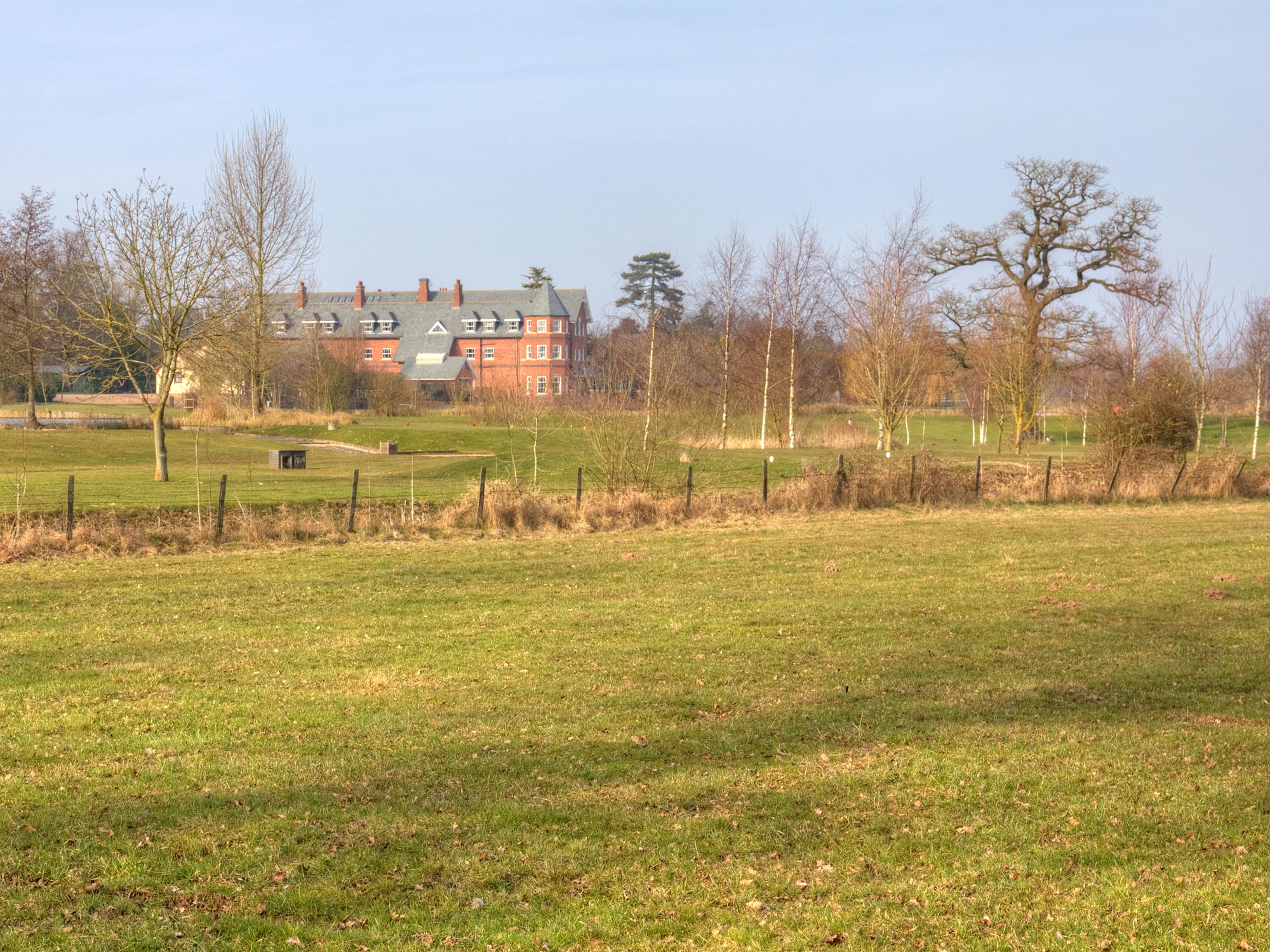
Ardencote Manor
Ardencote Manor is a hotel and former manor house located 0.5 miles (0.8 km) north of the village of Claverdon, Warwickshire, England. The manor was originally...
Nearby Amenities
Located within 500m of 52.282432,-1.6676313Have you been to Hell's Kitchen Coppice?
Leave your review of Hell's Kitchen Coppice below (or comments, questions and feedback).