Grizzels Coppice
Wood, Forest in Warwickshire Warwick
England
Grizzels Coppice
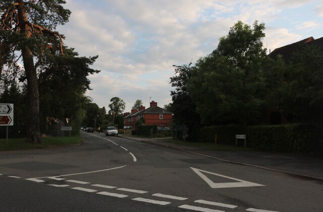
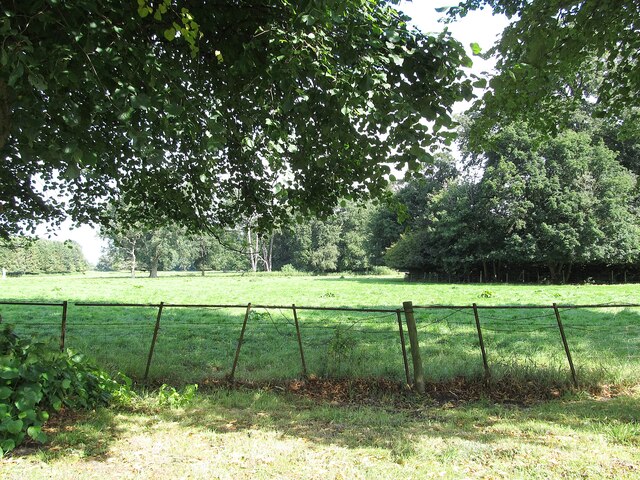
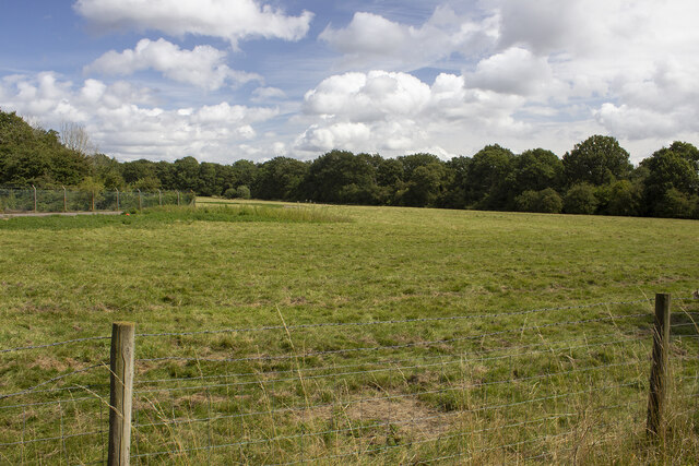
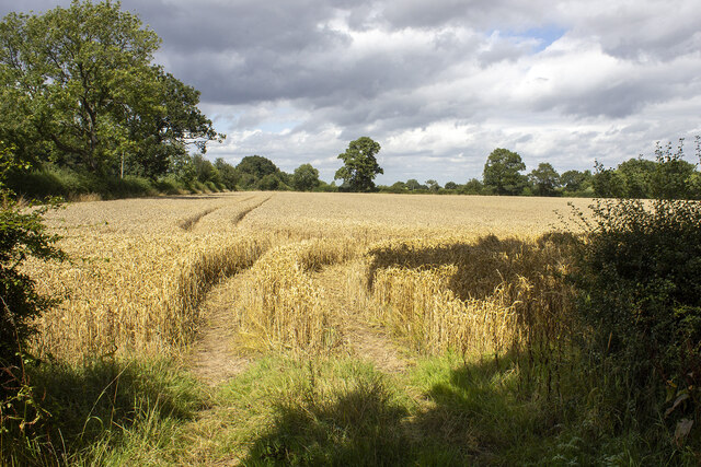
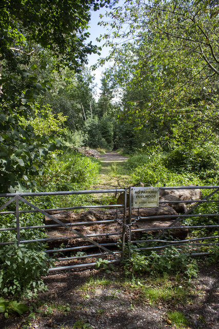
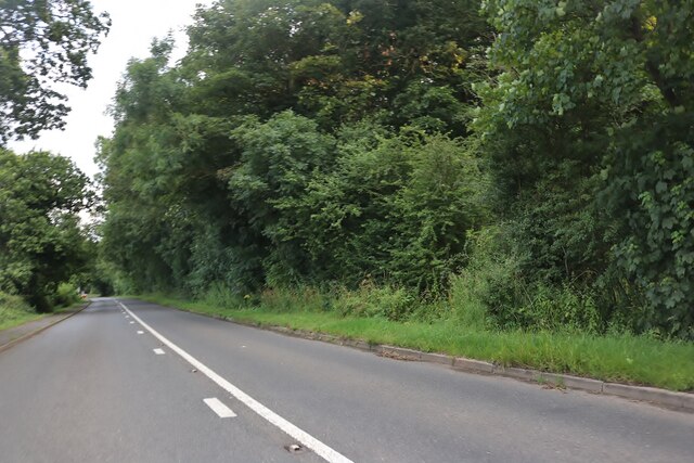
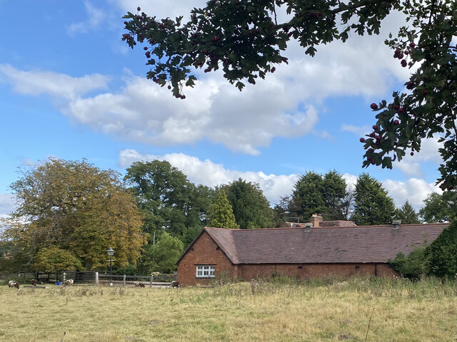
Grizzels Coppice is a woodland located in Warwickshire, England. Covering an area of approximately 50 acres, it is a significant natural resource within the region. The woodland is situated in a rural setting, surrounded by picturesque countryside and rolling hills.
Grizzels Coppice is primarily composed of deciduous trees, including oak, beech, and ash. These species create a diverse and vibrant ecosystem, providing habitats for a wide range of flora and fauna. The woodland floor is carpeted with a variety of wildflowers, including bluebells and primroses, adding to its natural beauty.
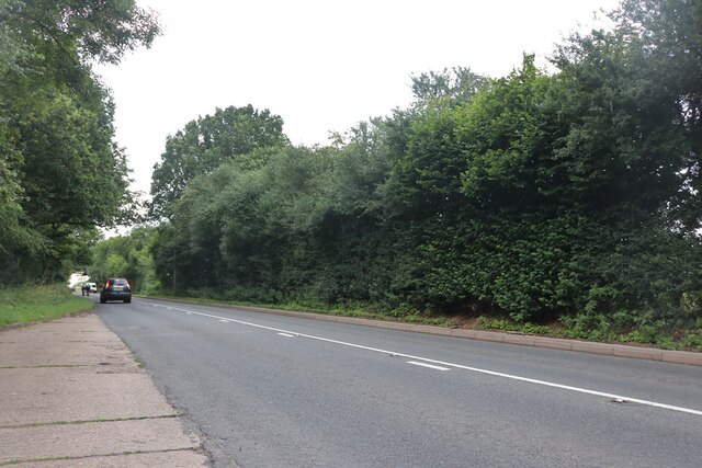
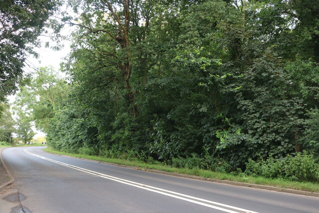
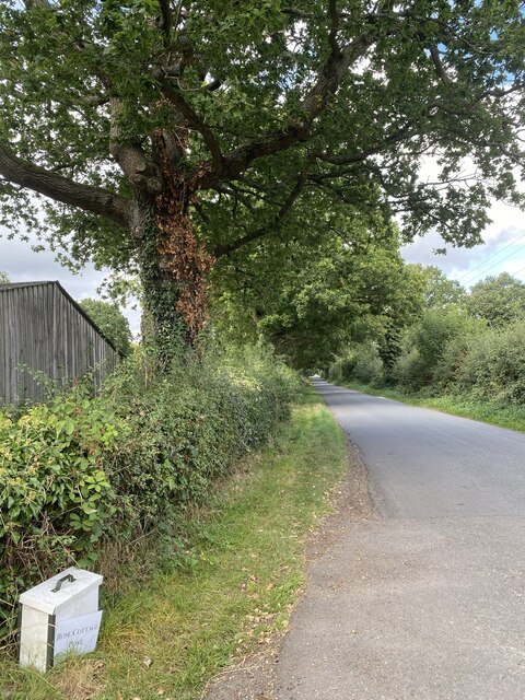
The forest is crisscrossed by a network of well-maintained footpaths, offering visitors the opportunity to explore its scenic surroundings. These paths wind through the woodland, providing access to various viewpoints and picnic areas. The tranquility of the woodland makes it a popular destination for hikers, nature enthusiasts, and families looking to escape the hustle and bustle of urban life.
Grizzels Coppice is also home to a rich array of wildlife. Birdwatchers can spot species such as woodpeckers, owls, and various songbirds, while small mammals like squirrels and hedgehogs can be observed throughout the woodland. In addition, the forest provides a habitat for numerous insects, including butterflies and beetles.
Conservation efforts are in place to protect the natural integrity of Grizzels Coppice. Warwickshire County Council has implemented measures to maintain the woodland's biodiversity, including tree planting initiatives and management of invasive species.
Overall, Grizzels Coppice offers visitors a tranquil escape into nature, showcasing the beauty and diversity of Warwickshire's woodlands.
If you have any feedback on the listing, please let us know in the comments section below.
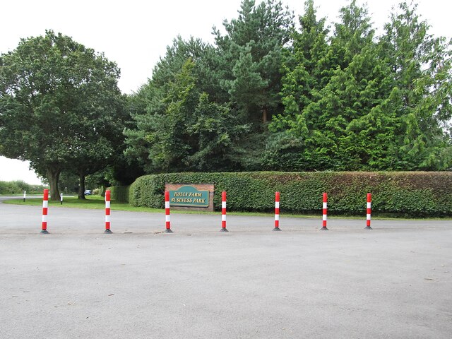
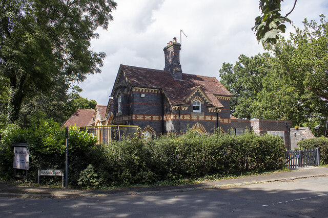
Grizzels Coppice Images
Images are sourced within 2km of 52.350709/-1.6660334 or Grid Reference SP2272. Thanks to Geograph Open Source API. All images are credited.
Grizzels Coppice is located at Grid Ref: SP2272 (Lat: 52.350709, Lng: -1.6660334)
Administrative County: Warwickshire
District: Warwick
Police Authority: Warwickshire
What 3 Words
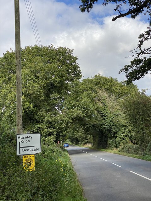
///bulky.vocals.pioneered. Near Wroxall, Warwickshire
Nearby Locations
Related Wikis
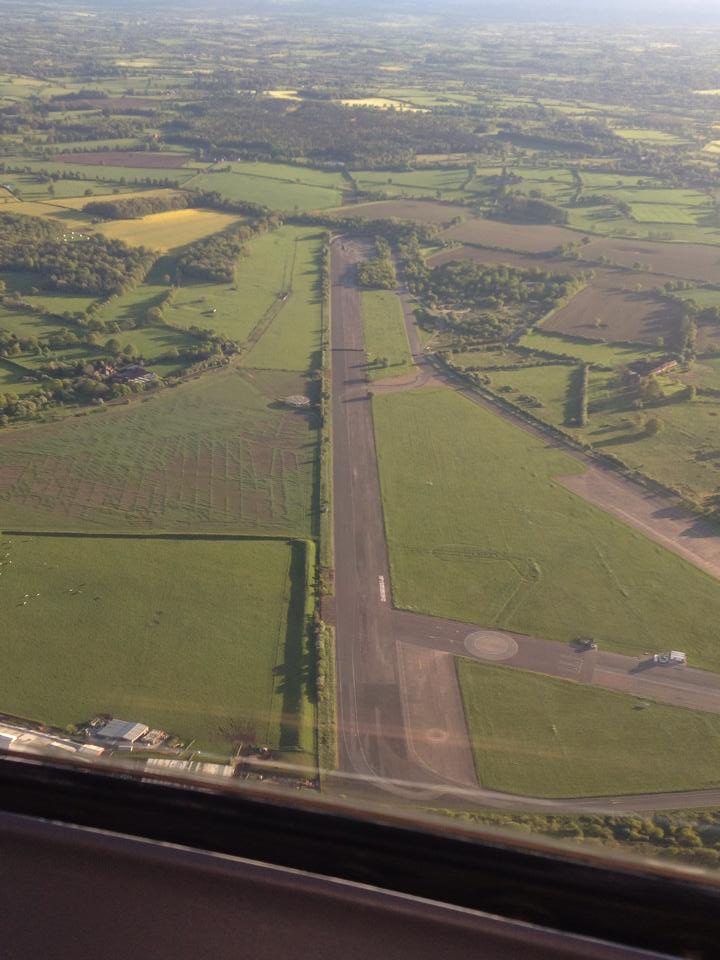
RAF Honiley
Royal Air Force Honiley or RAF Honiley is a former Royal Air Force station located in Wroxall, Warwickshire, 7 miles (11 km) southwest of Coventry, England...

Banbury Music Radio
Banbury Music Radio was a local Internet radio station in Banbury, Oxfordshire, England that showcased bands from all around Oxfordshire, Berkshire, and...

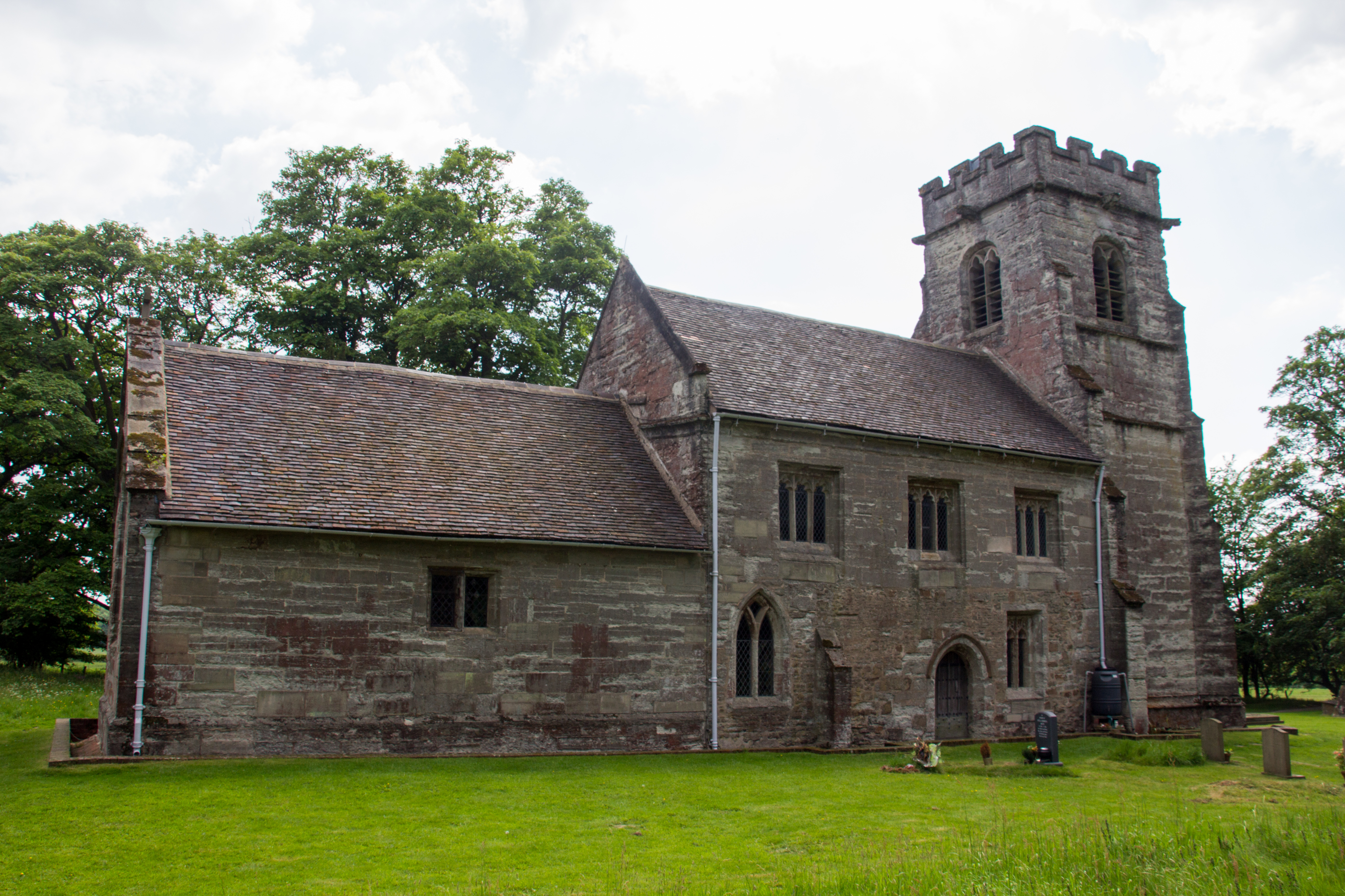
Honiley
Honiley is a small village and former civil parish, now in the parish of Beausale, Haseley, Honiley and Wroxall, in the Warwick district, in the county...

Wroxall, Warwickshire
Wroxall is a small village and former civil parish, now in the parish of Beausale, Haseley, Honiley and Wroxall, in the Warwick district, in the county...

Wren's Cathedral
Wren's Cathedral, properly the Church of St Leonard and now a cathedral of the Communion of Evangelical Episcopal Churches, was originally the Lady Chapel...
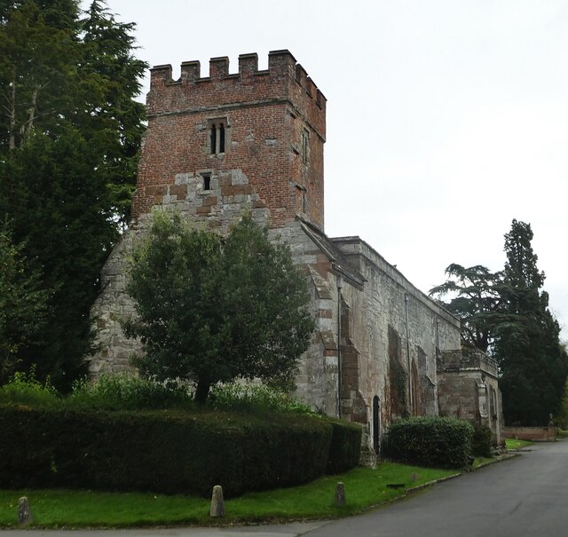
Wroxall Priory
Wroxall Priory was a medieval monastic house in Wroxall, Warwickshire, England. It was founded c.1135 by Hugh, Lord of Hatton and Wroxall in thanks for...
Baddesley Clinton (village)
Baddesley Clinton is a village and civil parish in Warwickshire, England, about 5+1⁄2 miles (9 km) southeast of Solihull. The village has Anglo-Saxon origins...

Wroxall Abbey
Wroxall Abbey is a substantial Victorian mansion house situated at Wroxall, Warwickshire which was converted for use as a hotel, spa, wedding venue and...
Nearby Amenities
Located within 500m of 52.350709,-1.6660334Have you been to Grizzels Coppice?
Leave your review of Grizzels Coppice below (or comments, questions and feedback).