Thirkell's Plantation

Wood, Forest in Yorkshire Harrogate

England

Thirkell's Plantation

A bridge over the River Laver
A bridge over the River Laver Credit: Ian S

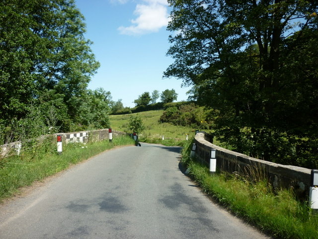
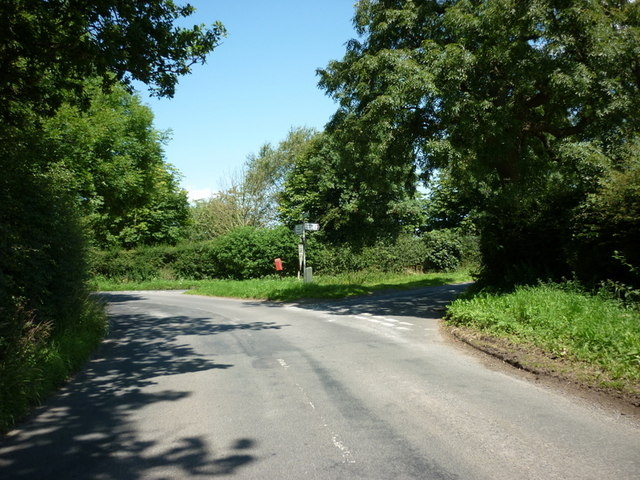
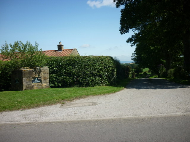
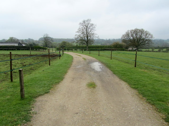
Thirkell's Plantation is a picturesque woodland located in the heart of Yorkshire, England. Situated in the beautiful countryside, this plantation covers an expansive area of lush greenery and is renowned for its diverse range of trees and natural beauty.

The woodland is named after the Thirkell family, who were the original owners and caretakers of the plantation. It has been under their stewardship for generations, with a strong emphasis on preserving its natural heritage. The plantation features a mix of deciduous and evergreen trees, including oak, beech, birch, and pine, creating a rich tapestry of colors throughout the year.

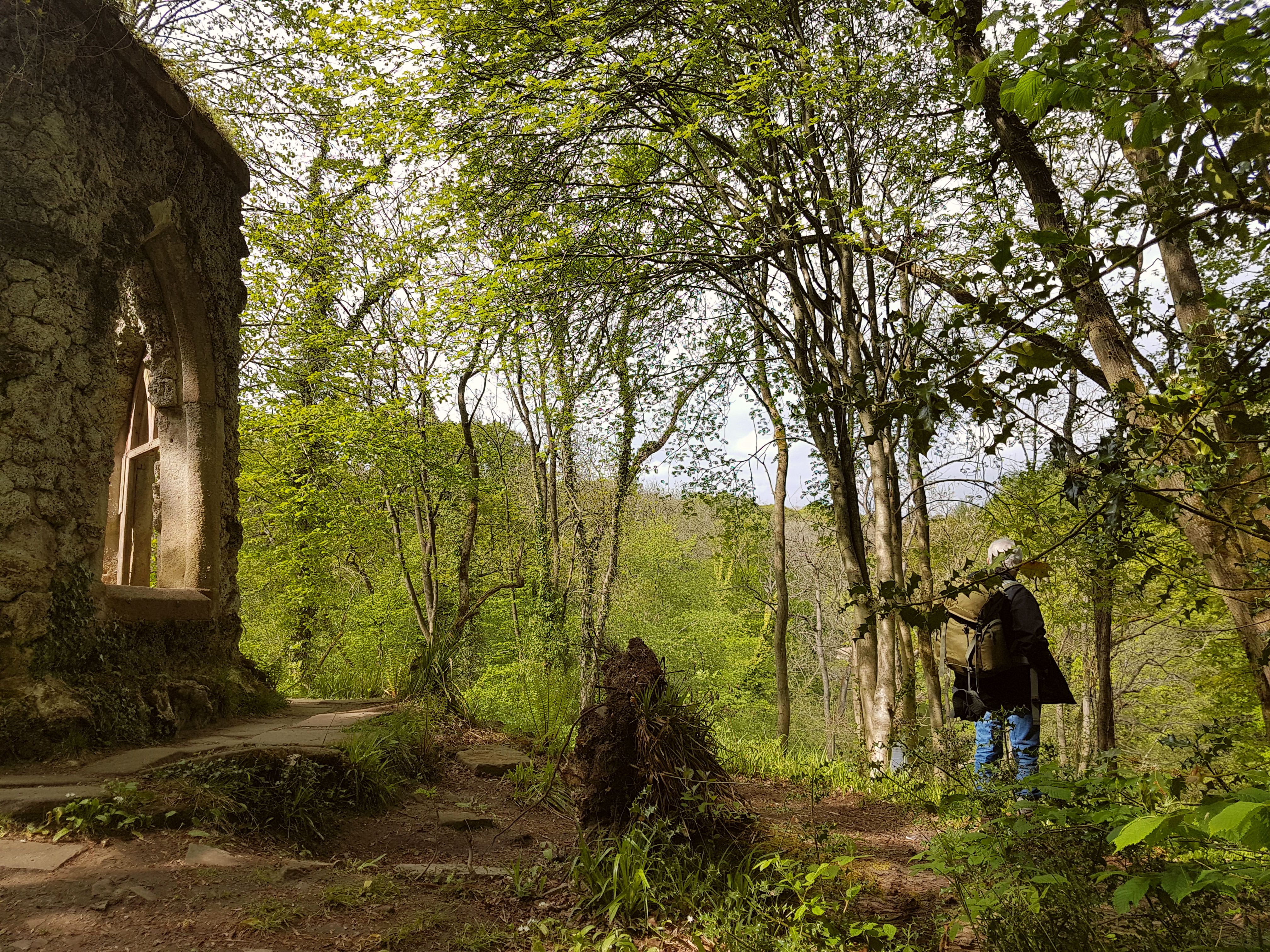
Thirkell's Plantation offers a tranquil and serene environment, making it a popular destination for nature enthusiasts and those seeking a peaceful retreat. The woodland is crisscrossed with well-maintained walking trails, allowing visitors to explore its depths and admire the flora and fauna that call it home. The plantation is also home to a variety of wildlife, including deer, squirrels, and numerous bird species, making it a haven for birdwatchers and animal lovers.

In addition to its natural beauty, Thirkell's Plantation boasts several amenities to enhance the visitor experience. There are picnic areas and benches strategically placed throughout the woodland, providing an ideal spot for a leisurely lunch or a moment of relaxation. The plantation also hosts educational programs and events, aiming to promote environmental awareness and appreciation for the natural world.

Thirkell's Plantation in Yorkshire truly offers a captivating and enchanting experience for all those who visit, immersing them in the wonders of nature and providing a much-needed respite from the hustle and bustle of everyday life.

If you have any feedback on the listing, please let us know in the comments section below.

Thirkell's Plantation Images

Images are sourced within 2km of 54.16001/-1.651694 or Grid Reference SE2273. Thanks to Geograph Open Source API. All images are credited.

A bridge over the River Laver
Gate Bridge Road joins Warren Lane
The entrance to The Willows
Kirkby Malzeard Cemetery
Entering Kirkby Malzeard, North Yorkshire
looking across to Church Street, Kirkby Malzeard
A barn on the outskirts of Kirkby Malzeard
Roadside barn, Kirkby Malzeard Roughly half way along the road from Kirkby Malzeard to Grewelthorpe, this barn shows both upland and lowland features. The walls are of upland sandstone, but the roof is tiled rather than stone slated, tiles being more common in the lowlands to the east.
Roadside barn, Kirkby Malzeard
Roughly half way along the road from Kirkby Malzeard to Grewelthorpe, this barn shows both upland and lowland features. The walls are of upland sandstone, but the roof is tiled rather than stone slated, tiles being more common in the lowlands to the east.
Entrance to Gate Bridge Farm This particular access lane does not appear on the map, so I assume this is a recent development.
Entrance to Gate Bridge Farm
This particular access lane does not appear on the map, so I assume this is a recent development.
Windy Ridge Farm Farmhouse and buildings as seen from Warren Lane.
Windy Ridge Farm
Farmhouse and buildings as seen from Warren Lane.
Road Junction, Kirkby Malzeard Road junction at the western end of Kirkby Malzeard village.
Road Junction, Kirkby Malzeard
Road junction at the western end of Kirkby Malzeard village.
Entering Kirkby Malzeard Entering the village from Laverton.
Entering Kirkby Malzeard
Entering the village from Laverton.
Main Street Kirkby Malzeard A springtime view along the Main Street of Kirkby Malzeard.
Main Street Kirkby Malzeard
A springtime view along the Main Street of Kirkby Malzeard.
Kex Beck, Kirkby Malzeard The beck runs along the north side of the village in a small valley. Seen at the point where the corn mill once operated.
Kex Beck, Kirkby Malzeard
The beck runs along the north side of the village in a small valley. Seen at the point where the corn mill once operated.
Difficult footpath, North Park Looking along the line of the footpath at North Park, Kirkby Malzeard. Recent ploughing has made the route difficult to use.
Difficult footpath, North Park
Looking along the line of the footpath at North Park, Kirkby Malzeard. Recent ploughing has made the route difficult to use.
Bridleway to Kirkby Malzeard Bridleway from Foulgate to Kirkby Malzeard. This is probably an ancient track dating back to the medieval period when Kirkby was a market centre. The bridleway provides a through route to Lofthouse and upper Nidderdale.
Bridleway to Kirkby Malzeard
Bridleway from Foulgate to Kirkby Malzeard. This is probably an ancient track dating back to the medieval period when Kirkby was a market centre. The bridleway provides a through route to Lofthouse and upper Nidderdale.
Footbridge over Kex Beck Footbridge and ford at Kex Beck to the west of Kirkby Malzeard.
Footbridge over Kex Beck
Footbridge and ford at Kex Beck to the west of Kirkby Malzeard.
Tractors at work Ploughing fields to the west of Kirkby Malzeard.
Tractors at work
Ploughing fields to the west of Kirkby Malzeard.
Show me another place!

Thirkell's Plantation is located at Grid Ref: SE2273 (Lat: 54.16001, Lng: -1.651694)

Division: West Riding

Administrative County: North Yorkshire

District: Harrogate

Police Authority: North Yorkshire

What 3 Words

///jousting.belts.homes. Near Masham, North Yorkshire

Related Wikis

Kirkby Malzeard

Kirkby Malzeard () is a village and civil parish in the Harrogate district of North Yorkshire, England. There has been a creamery in the village making...

Laverton, North Yorkshire

Laverton is a village and civil parish in the Harrogate district of North Yorkshire, England, about 7 miles (11 km) west of Ripon. The population of this...

Grewelthorpe

Grewelthorpe is a village and civil parish in the Harrogate district of North Yorkshire, England situated 3 miles (5 km) south of Masham and 6.2 miles...

Galphay

Galphay (traditionally pronounced [ˈgɔ:fə] GAW-fə) is a village in North Yorkshire, England. It is situated in the Nidderdale Area of Outstanding Natural...

Azerley

Azerley is a village and civil parish in the Harrogate district of North Yorkshire, England. It is about 4 miles (6 km) north-west of Ripon. The civil...

Hack Fall Wood

Hack Fall Wood, otherwise known as Hackfall, is a Site of Special Scientific Interest, or SSSI, of 44.8687 hectares (0.4487 km2; 0.1732 sq mi), lying north...

Winksley

Winksley is a small village and civil parish in the district of Harrogate, North Yorkshire, England. It is situated west of Ripon, and is on the River...

Grantley, North Yorkshire

Grantley is a village (also known as High Grantley) and civil parish in North Yorkshire, England. It lies 5 miles (8 km) west of Ripon. The parish also...

Nearby Amenities

Located within 500m of 54.16001,-1.651694
Post Box
Post Box Type: lamp
Source: survey
Lat/Long: 54.1639003/-1.6529677
Place: farm
Lat/Long: 54.1589169/-1.657626
Building: yes
Lat/Long: 54.1582635/-1.6552013
Place: farm
Lat/Long: 54.1603115/-1.6540641
Place: farm
Lat/Long: 54.1607512/-1.6549653
Building: yes
Lat/Long: 54.1620578/-1.6567463
Doctors
Kirkby Malzeard Doctors Surgery
Healthcare: doctor
Lat/Long: 54.1641831/-1.6491882
Bench
Lat/Long: 54.1638359/-1.6507225
Generator Method: photovoltaic
Generator Output Electricity: yes
Generator Source: solar
Generator Type: solar_photovoltaic_panel
Power: generator
Lat/Long: 54.1640028/-1.6533658
Generator Method: photovoltaic
Generator Output Electricity: yes
Generator Source: solar
Generator Type: solar_photovoltaic_panel
Power: generator
Lat/Long: 54.1635805/-1.6539437
The data included in this document is from www.openstreetmap.org. The data is made available under ODbL.

Have you been to Thirkell's Plantation?

Leave your review of Thirkell's Plantation below (or comments, questions and feedback).