Century Plantation

Wood, Forest in Yorkshire Harrogate

England

Century Plantation

The entrance to The Willows
The entrance to The Willows Credit: Ian S

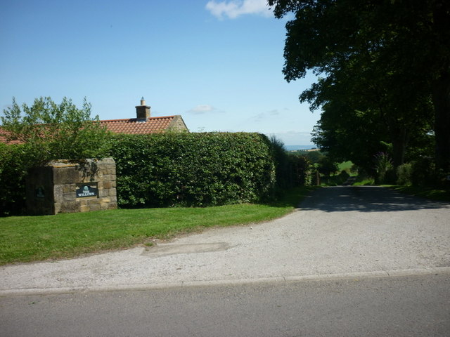
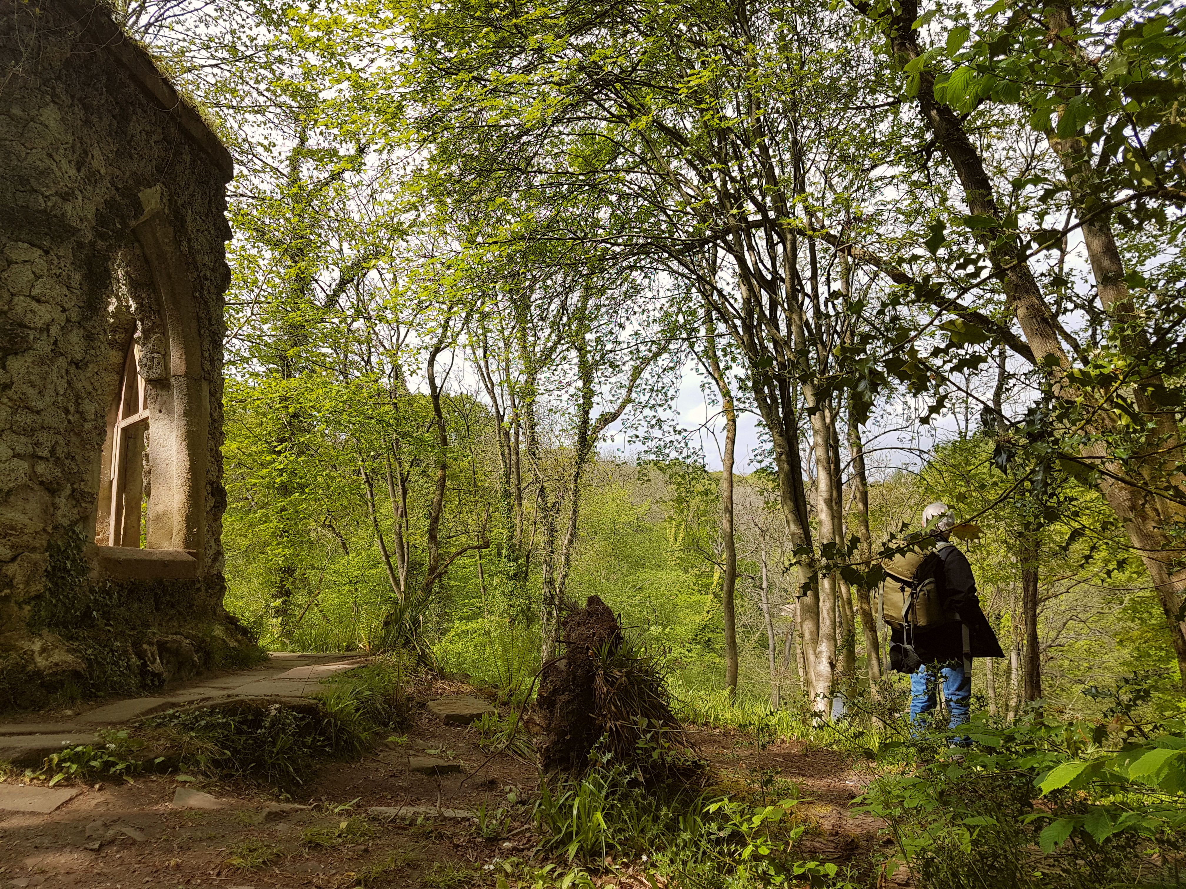
Century Plantation is a sprawling woodland located in Yorkshire, England. Nestled within the picturesque landscape, it covers an extensive area of approximately 500 acres. The plantation is renowned for its rich biodiversity, offering a diverse range of flora and fauna for nature enthusiasts to explore.

The woodland is primarily composed of century-old oak trees, which provide a majestic canopy throughout the area. These towering trees create a serene and peaceful atmosphere, offering a tranquil escape from the hustle and bustle of everyday life. The plantation also features a variety of other indigenous tree species, including beech, ash, and birch, adding to the enchanting ambiance.

Visitors to Century Plantation can expect to encounter an array of wildlife. The woodland is home to numerous species of birds, including woodpeckers, owls, and thrushes, making it a haven for birdwatchers. Additionally, the plantation supports a diverse range of mammals, such as deer, foxes, and squirrels, providing ample opportunities for wildlife observation and photography.

The plantation boasts well-maintained walking trails that wind their way through the woodland, allowing visitors to explore its beauty at their own pace. These trails offer breathtaking views of the surrounding countryside, with occasional glimpses of nearby streams and meadows.

Century Plantation is a cherished natural treasure in Yorkshire, offering visitors a chance to reconnect with nature and immerse themselves in its serene beauty. Whether it is for a leisurely stroll, birdwatching, or simply a peaceful retreat, the plantation provides a captivating experience for all who venture into its enchanting woodlands.

If you have any feedback on the listing, please let us know in the comments section below.

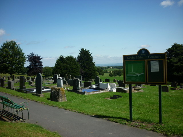
Century Plantation Images

Images are sourced within 2km of 54.159481/-1.6617137 or Grid Reference SE2273. Thanks to Geograph Open Source API. All images are credited.

The entrance to The Willows
Kirkby Malzeard Cemetery
Entering Kirkby Malzeard, North Yorkshire
looking across to Church Street, Kirkby Malzeard
A barn on the outskirts of Kirkby Malzeard
Roadside barn, Kirkby Malzeard Roughly half way along the road from Kirkby Malzeard to Grewelthorpe, this barn shows both upland and lowland features. The walls are of upland sandstone, but the roof is tiled rather than stone slated, tiles being more common in the lowlands to the east.
Roadside barn, Kirkby Malzeard
Roughly half way along the road from Kirkby Malzeard to Grewelthorpe, this barn shows both upland and lowland features. The walls are of upland sandstone, but the roof is tiled rather than stone slated, tiles being more common in the lowlands to the east.
Windy Ridge Farm Farmhouse and buildings as seen from Warren Lane.
Windy Ridge Farm
Farmhouse and buildings as seen from Warren Lane.
Kirk Bank Minor lane heading west from Kirkby Malzeard.
Kirk Bank
Minor lane heading west from Kirkby Malzeard.
Road Junction, Kirkby Malzeard Road junction at the western end of Kirkby Malzeard village.
Road Junction, Kirkby Malzeard
Road junction at the western end of Kirkby Malzeard village.
Entering Kirkby Malzeard Entering the village from Laverton.
Entering Kirkby Malzeard
Entering the village from Laverton.
Main Street Kirkby Malzeard A springtime view along the Main Street of Kirkby Malzeard.
Main Street Kirkby Malzeard
A springtime view along the Main Street of Kirkby Malzeard.
Kex Beck, Kirkby Malzeard The beck runs along the north side of the village in a small valley. Seen at the point where the corn mill once operated.
Kex Beck, Kirkby Malzeard
The beck runs along the north side of the village in a small valley. Seen at the point where the corn mill once operated.
Difficult footpath, North Park Looking along the line of the footpath at North Park, Kirkby Malzeard. Recent ploughing has made the route difficult to use.
Difficult footpath, North Park
Looking along the line of the footpath at North Park, Kirkby Malzeard. Recent ploughing has made the route difficult to use.
Bridleway to Kirkby Malzeard Bridleway from Foulgate to Kirkby Malzeard. This is probably an ancient track dating back to the medieval period when Kirkby was a market centre. The bridleway provides a through route to Lofthouse and upper Nidderdale.
Bridleway to Kirkby Malzeard
Bridleway from Foulgate to Kirkby Malzeard. This is probably an ancient track dating back to the medieval period when Kirkby was a market centre. The bridleway provides a through route to Lofthouse and upper Nidderdale.
Footbridge over Kex Beck Footbridge and ford at Kex Beck to the west of Kirkby Malzeard.
Footbridge over Kex Beck
Footbridge and ford at Kex Beck to the west of Kirkby Malzeard.
Tractors at work Ploughing fields to the west of Kirkby Malzeard.
Tractors at work
Ploughing fields to the west of Kirkby Malzeard.
Holmes Farm Holmes Farm stands amongst pastureland to the west of Kirkby Malzeard.
Holmes Farm
Holmes Farm stands amongst pastureland to the west of Kirkby Malzeard.
Entrance to Mowbray Castle Ornamental Entrance to the site of Mowbray Castle, Kirkby Malzeard. This gateway is passed on the Aislabie Walk from Fountains Abbey.
Entrance to Mowbray Castle
Ornamental Entrance to the site of Mowbray Castle, Kirkby Malzeard. This gateway is passed on the Aislabie Walk from Fountains Abbey.
Show me another place!

Century Plantation is located at Grid Ref: SE2273 (Lat: 54.159481, Lng: -1.6617137)

Division: West Riding

Administrative County: North Yorkshire

District: Harrogate

Police Authority: North Yorkshire

What 3 Words

///cherished.served.books. Near Masham, North Yorkshire

Related Wikis

Kirkby Malzeard

Kirkby Malzeard () is a village and civil parish in the Harrogate district of North Yorkshire, England. There has been a creamery in the village making...

Laverton, North Yorkshire

Laverton is a village and civil parish in the Harrogate district of North Yorkshire, England, about 7 miles (11 km) west of Ripon. The population of this...

Grewelthorpe

Grewelthorpe is a village and civil parish in the Harrogate district of North Yorkshire, England situated 3 miles (5 km) south of Masham and 6.2 miles...

Galphay

Galphay (traditionally pronounced [ˈgɔ:fə] GAW-fə) is a village in North Yorkshire, England. It is situated in the Nidderdale Area of Outstanding Natural...

Hack Fall Wood

Hack Fall Wood, otherwise known as Hackfall, is a Site of Special Scientific Interest, or SSSI, of 44.8687 hectares (0.4487 km2; 0.1732 sq mi), lying north...

Grantley, North Yorkshire

Grantley is a village (also known as High Grantley) and civil parish in North Yorkshire, England. It lies 5 miles (8 km) west of Ripon. The parish also...

Dallowgill

Dallowgill (historically also Dallaghill) is a village in Harrogate district in North Yorkshire, England. It consists of a number of scattered settlements...

Azerley

Azerley is a village and civil parish in the Harrogate district of North Yorkshire, England. It is about 4 miles (6 km) north-west of Ripon. The civil...

Nearby Amenities

Located within 500m of 54.159481,-1.6617137
Place: farm
Lat/Long: 54.1589169/-1.657626
Building: yes
Lat/Long: 54.1582635/-1.6552013
Place: farm
Lat/Long: 54.1607512/-1.6549653
Building: yes
Lat/Long: 54.1620578/-1.6567463
Building: yes
Lat/Long: 54.1614253/-1.6631362
Building: yes
Lat/Long: 54.1606966/-1.6647026
Building: yes
Lat/Long: 54.158523/-1.6633293
Building: yes
Lat/Long: 54.1582214/-1.6657111
The data included in this document is from www.openstreetmap.org. The data is made available under ODbL.

Have you been to Century Plantation?

Leave your review of Century Plantation below (or comments, questions and feedback).