Pooltail Plantation
Wood, Forest in Warwickshire North Warwickshire
England
Pooltail Plantation

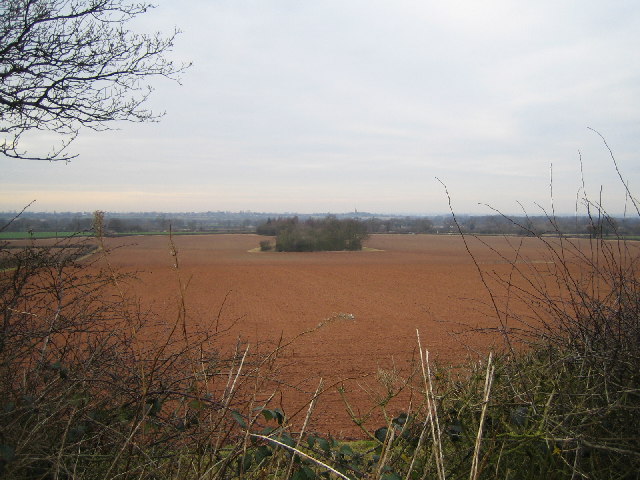
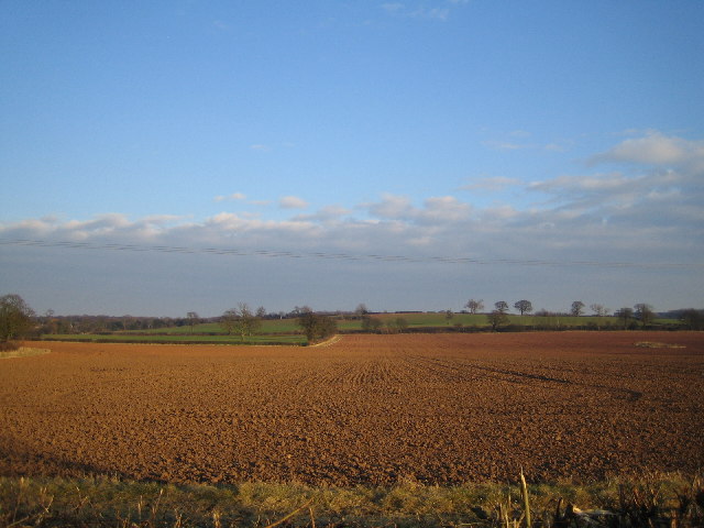
Pooltail Plantation is a picturesque woodland situated in Warwickshire, England. Covering an area of approximately 100 acres, it is a haven for nature enthusiasts and those seeking a peaceful retreat. The plantation is renowned for its stunning woodlands and diverse flora and fauna.
The woodland comprises a mix of broadleaf and coniferous trees, including oak, beech, and pine. The lush green canopy provides a serene atmosphere and offers shelter to a wide range of wildlife species. Visitors can expect to encounter various bird species, such as woodpeckers, thrushes, and owls, as well as mammals like deer, foxes, and squirrels.
The plantation boasts a network of well-maintained walking trails, allowing visitors to explore the beauty of the woodland at their own pace. These trails offer breathtaking views of the surrounding countryside and provide opportunities for birdwatching and photography. Additionally, there are picnic areas and benches scattered throughout the plantation, inviting visitors to relax and immerse themselves in the tranquility of the surroundings.
Pooltail Plantation is easily accessible, with ample parking facilities and well-marked entrances. It is open to the public year-round, and admission is free. The plantation is managed by a dedicated team of conservationists who work tirelessly to preserve its natural beauty and protect the local ecosystem.
Whether you are a nature lover, a keen hiker, or simply someone looking for a peaceful escape from the hustle and bustle of everyday life, Pooltail Plantation in Warwickshire is a must-visit destination. Its idyllic woodlands, diverse wildlife, and well-maintained trails make it a perfect location to reconnect with nature and unwind in a serene environment.
If you have any feedback on the listing, please let us know in the comments section below.
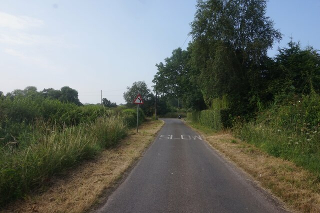
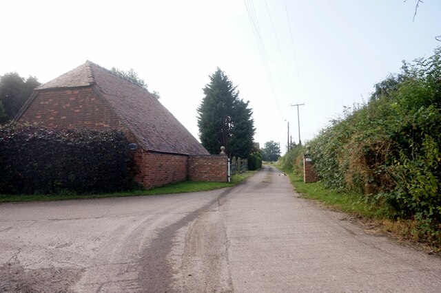
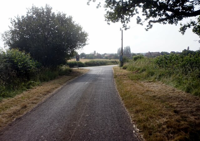
Pooltail Plantation Images
Images are sourced within 2km of 52.494291/-1.6732695 or Grid Reference SP2288. Thanks to Geograph Open Source API. All images are credited.


Pooltail Plantation is located at Grid Ref: SP2288 (Lat: 52.494291, Lng: -1.6732695)
Administrative County: Warwickshire
District: North Warwickshire
Police Authority: Warwickshire
What 3 Words
///relate.prefer.rushed. Near Chelmsley Wood, West Midlands
Nearby Locations
Related Wikis

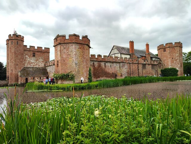
Maxstoke Castle
Maxstoke Castle is a privately owned moated castle dating from the 14th century, situated to the north of Maxstoke in Warwickshire, England. == History... ==
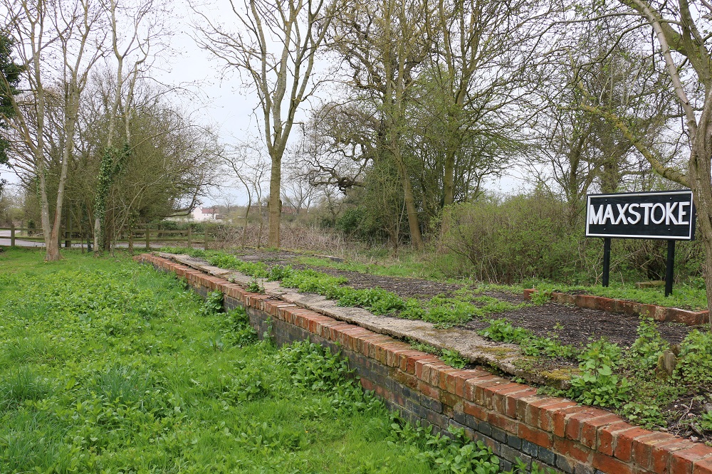
Maxstoke railway station
Maxstoke railway station was a railway station opened in 1839 as Coleshill by the Birmingham and Derby Junction Railway on its original route from Derby...

North Warwickshire (UK Parliament constituency)
North Warwickshire is a constituency represented in the House of Commons of the UK Parliament since 2015 by Craig Tracey, a Conservative.Under the 2023...

Blyth Hall
Blyth Hall is a privately owned mansion house on the banks of the River Blythe situated near Shustoke, Warwickshire. It is a Grade I listed building. The...

Maxstoke Priory
Maxstoke Priory was an Augustinian priory in Warwickshire, England. The substantial remains are on Historic England's Heritage at Risk Register due to...
Chelmsley Town F.C.
Chelmsley Town Football Club is a football club representing the town of Chelmsley Wood, West Midlands, England. They are currently members of the Midland...
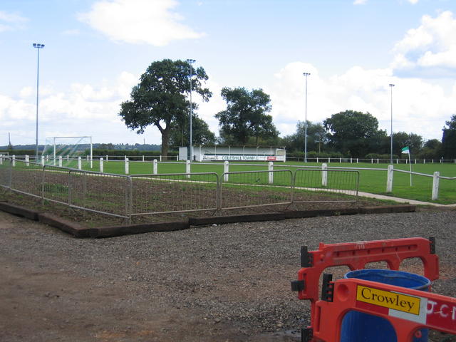
Coleshill Town F.C.
Coleshill Town Football Club is a semi-professional football club based in Coleshill, Warwickshire, England. They are currently members of the Northern...
Blythe End
Blythe End is a hamlet in the North Warwickshire district of Warwickshire, England. Blythe End is halfway between Coleshill (where the population details...
Related Videos

Shustoke Reservoir & Sailing Tour Guide - August 2021
A great place for nature lovers, hikers and water enthusiasts, Shustoke Reservoirs is famous for their impressive wildflower ...

The Heart of England Way (Part 8) Whitacre Heath to the M6 Motorway
Part 8 of my walk along the Heart of England Way, A long distance trail running through the Midlands from cannock Chase to the ...

SHUSTOKE RESERVOIR 🍁🍂
we're going to Shustoke reservoir with British husband...
Nearby Amenities
Located within 500m of 52.494291,-1.6732695Have you been to Pooltail Plantation?
Leave your review of Pooltail Plantation below (or comments, questions and feedback).