Ash Plantation
Wood, Forest in Gloucestershire Cotswold
England
Ash Plantation
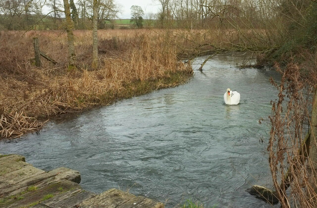
Ash Plantation is a woodland area located in Gloucestershire, England. Covering an area of approximately 100 hectares, it is situated within the larger Forest of Dean. The plantation is primarily composed of ash trees, hence its name, although other tree species such as oak, beech, and birch can also be found.
The woodland is managed by the Forestry Commission, and its main purpose is to provide a sustainable source of timber while also conserving the natural environment. The trees within Ash Plantation are carefully selected and managed to ensure their health and longevity.
Visitors to Ash Plantation can enjoy a variety of recreational activities. There are numerous walking trails that meander through the woodland, providing opportunities to explore and appreciate the natural beauty of the area. Wildlife enthusiasts will also find the plantation an ideal location for observing a diverse range of species, including birds, mammals, and insects.
Ash Plantation is not only a haven for nature lovers but also serves as an important habitat for many endangered species. The woodland's rich biodiversity contributes to the overall ecological balance of the Forest of Dean.
Overall, Ash Plantation in Gloucestershire offers a tranquil and picturesque setting, attracting both locals and tourists alike. Its well-managed woodland, diverse wildlife, and recreational opportunities make it a cherished destination for those seeking to connect with nature.
If you have any feedback on the listing, please let us know in the comments section below.
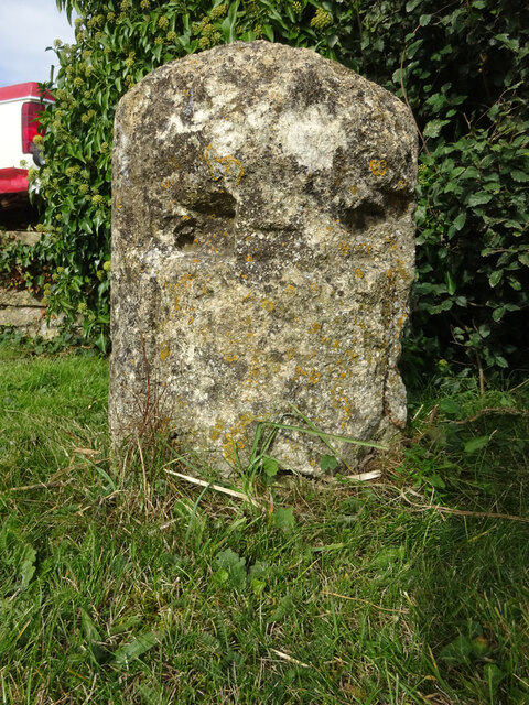
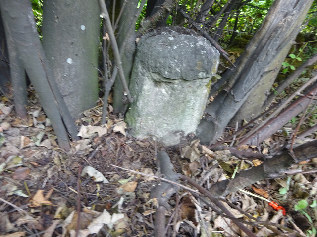
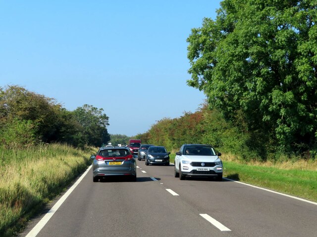
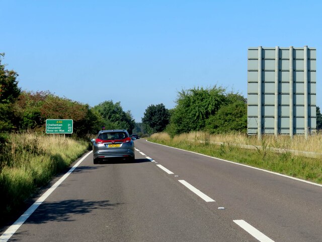
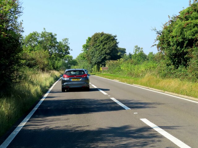
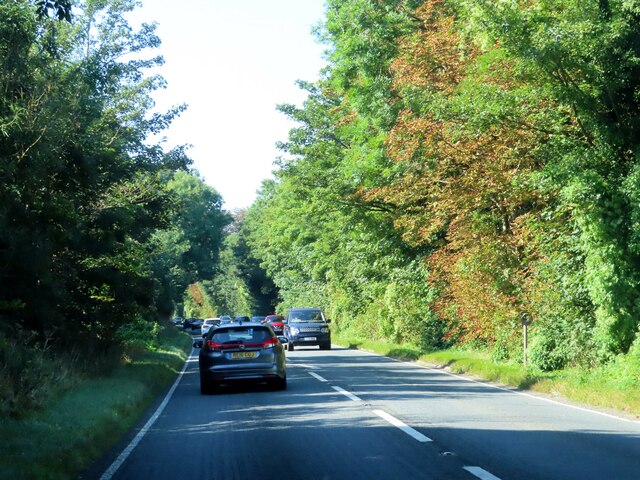
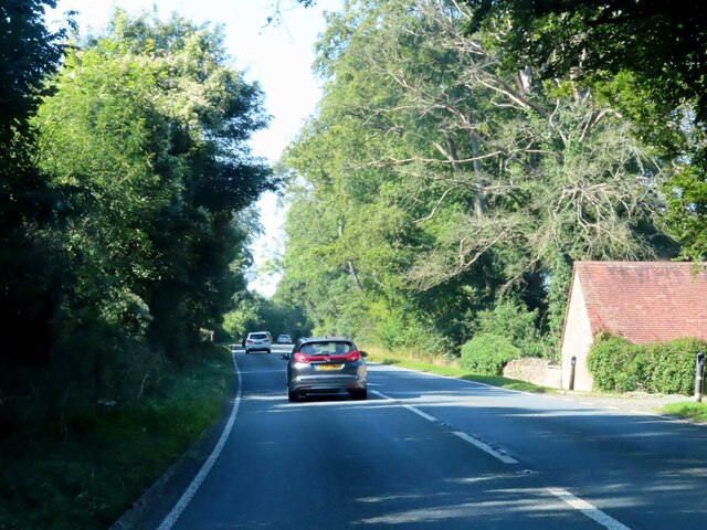
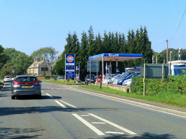
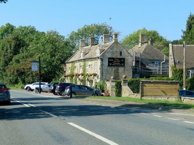
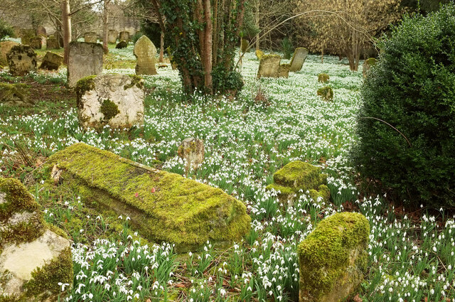
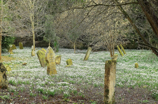
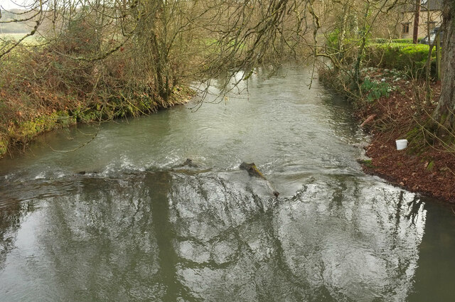
Ash Plantation Images
Images are sourced within 2km of 51.815075/-1.6822189 or Grid Reference SP2212. Thanks to Geograph Open Source API. All images are credited.
Ash Plantation is located at Grid Ref: SP2212 (Lat: 51.815075, Lng: -1.6822189)
Administrative County: Gloucestershire
District: Cotswold
Police Authority: Gloucestershire
What 3 Words
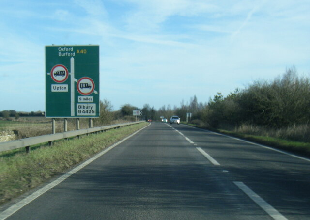
///takeovers.takes.unearthly. Near Burford, Oxfordshire
Nearby Locations
Related Wikis

Church of St Peter, Little Barrington
The Anglican Church of St Peter at Little Barrington in the civil parish of Barrington in the Cotswold District of Gloucestershire, England was built in...

Taynton, Oxfordshire
Taynton is a village and civil parish about 1+1⁄2 miles (2.4 km) northwest of Burford in West Oxfordshire. The village is on Coombe Brook, a tributary...
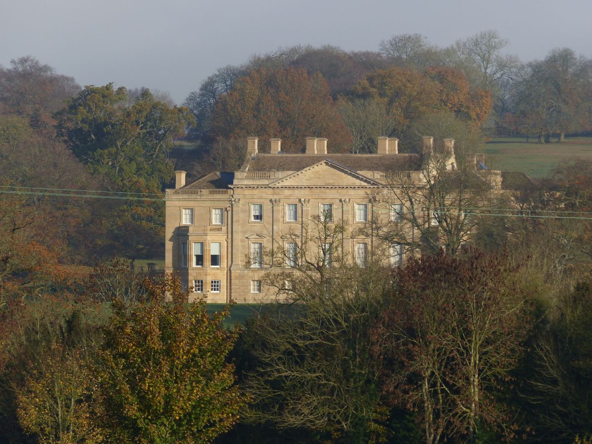
Barrington Park
Barrington Park is a Palladian style country house standing in an estate of the same name near the villages of Great Barrington and Little Barrington,...

Upton, West Oxfordshire
Upton is a hamlet on the River Windrush about 1 mile (1.6 km) west of Burford in Oxfordshire, England. Until 1954 Upton was part of the civil parish of...

Church of St Peter, Windrush
The Anglican Church of St Peter at Windrush in the Cotswold District of Gloucestershire, England was built in the 12th century. It is a grade I listed...

Westwell, Oxfordshire
Westwell is a small village and civil parish about 2 miles (3 km) southwest of the market town of Burford in Oxfordshire. It is the westernmost village...

Westwell War Memorial
The Westwell War Memorial is a memorial to the Price brothers erected in the hamlet of Westwell, Oxfordshire after the First World War. The limestone...
Battle Edge
Battle-Edge is a former field, located beside Sheep Street and Tanners Lane, in Burford in Oxfordshire, England where King Æthelbald of Mercia was defeated...
Have you been to Ash Plantation?
Leave your review of Ash Plantation below (or comments, questions and feedback).