Guggle Wood

Wood, Forest in Oxfordshire West Oxfordshire

England

Guggle Wood

Old Milestone, A40 120 m West of the Gloucestershire/Oxon border. Embedded in trees, not properly visible from the road.

Inscription (was): Gloucester 27 / Oxford 19

Milestone Society National ID: GL_OXGL19
Old Milestone, A40 Credit: Mr Red

Guggle Wood is a picturesque forest located in Oxfordshire, England. Covering an expansive area, the wood is nestled in the heart of the county and is a popular destination for nature enthusiasts and outdoor adventurers alike. The wood is characterized by its diverse range of flora and fauna, offering a rich and vibrant ecosystem.

The wood is predominantly made up of ancient broadleaf trees, including oak, beech, and ash, which create a dense and enchanting canopy. Walking through the wood, visitors are greeted with a peaceful and serene atmosphere, as the dense foliage filters the sunlight, creating a dappled effect on the forest floor.

Guggle Wood is home to a variety of wildlife, providing a sanctuary for numerous species. Birdwatchers can delight in the sight of woodpeckers, owls, and various songbirds. Squirrels can be seen darting through the trees, while deer occasionally make appearances, adding to the natural charm of the wood.

The wood offers a range of walking trails, catering to all abilities. Visitors can choose to embark on a leisurely stroll along the well-maintained paths, or for the more adventurous, there are opportunities for longer hikes, immersing oneself in the beauty and tranquility of the surroundings.

Guggle Wood is also a popular spot for picnics, with designated areas providing the perfect setting to enjoy a leisurely lunch amidst the natural beauty. Additionally, the wood is a favorite destination for photographers and artists, who are inspired by the idyllic scenery and abundant wildlife.

Overall, Guggle Wood is a captivating and idyllic forest, offering visitors a chance to escape the hustle and bustle of everyday life and immerse themselves in the wonders of nature.

If you have any feedback on the listing, please let us know in the comments section below.
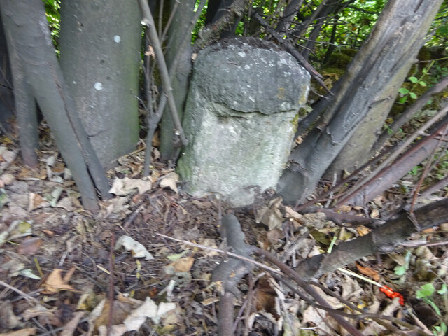
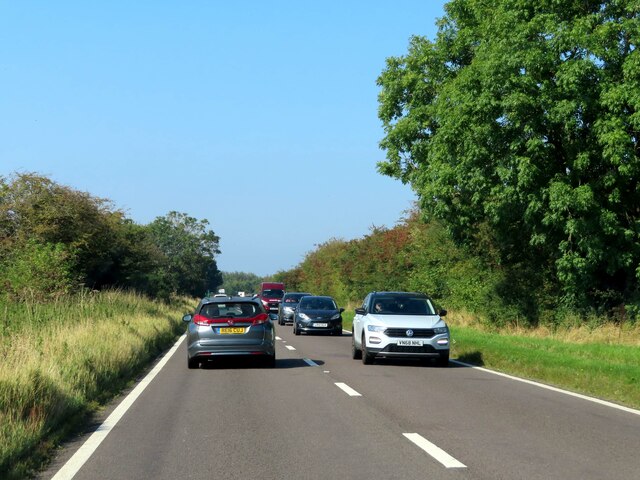
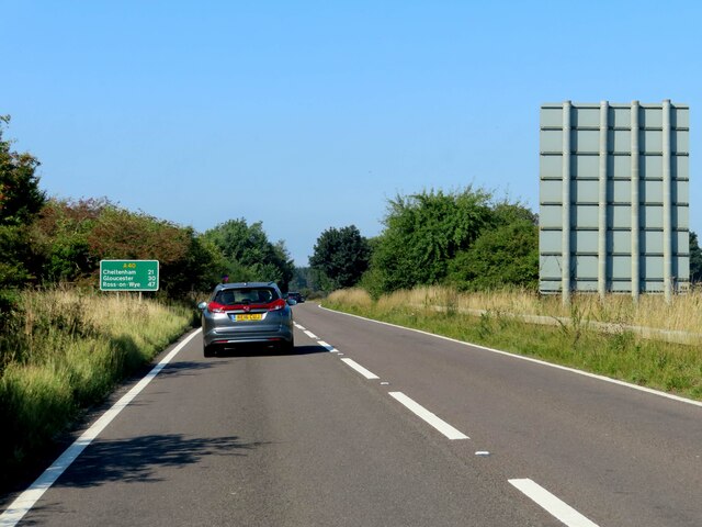
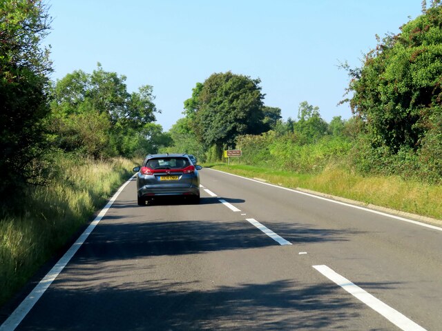
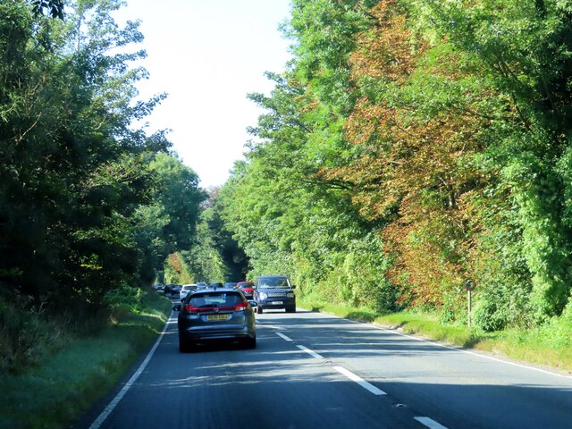
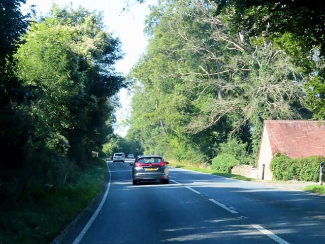
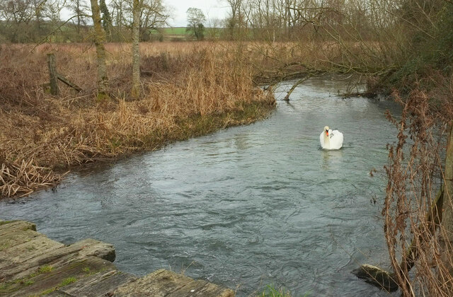
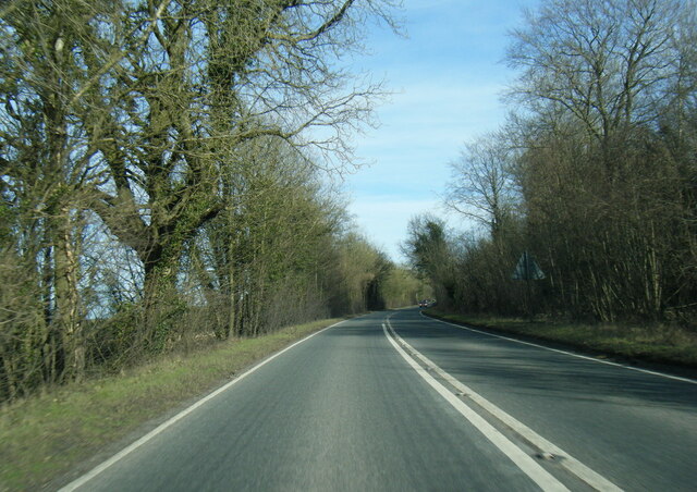
Guggle Wood Images

Images are sourced within 2km of 51.812475/-1.6750569 or Grid Reference SP2212. Thanks to Geograph Open Source API. All images are credited.

Old Milestone, A40 120 m West of the Gloucestershire/Oxon border. Embedded in trees, not properly visible from the road.

Inscription (was): Gloucester 27 / Oxford 19

Milestone Society National ID: GL_OXGL19
Old Milestone, A40
120 m West of the Gloucestershire/Oxon border. Embedded in trees, not properly visible from the road. Inscription (was): Gloucester 27 / Oxford 19 Milestone Society National ID: GL_OXGL19
A busy A40 leaving Burford
The A40 heading west
The A40 heading west past the Lodge
Swan on the Windrush Seen from where the D'Arcy Dalton Way crosses a footbridge on BARRINGTON FOOTPATH 9 KBA9. What you can see in the foreground is, however, an older bridge.
Swan on the Windrush
Seen from where the D'Arcy Dalton Way crosses a footbridge on BARRINGTON FOOTPATH 9 KBA9. What you can see in the foreground is, however, an older bridge.
A40 eastbound near Home Park
A40 eastbound at Oxfordshire boundary
A40 nearing the B4425 junction
Stone Stile, Taynton Looking South from outside No 32. The view looking North to the road is <a href="https://www.geograph.org.uk/photo/7228086">SP2313 : Stone Stile, Taynton</a>. The stile is not on a registered footpath, probably a private route to the mill.
Stone Stile, Taynton
Looking South from outside No 32. The view looking North to the road is SP2313 : Stone Stile, Taynton. The stile is not on a registered footpath, probably a private route to the mill.
Stone Stile, Taynton Looking North to the No 32. The view looking South from the road is <a href="https://www.geograph.org.uk/photo/7228085">SP2313 : Stone Stile, Taynton</a>. The stile is not on a registered footpath, probably a private route to the mill.
Stone Stile, Taynton
Looking North to the No 32. The view looking South from the road is SP2313 : Stone Stile, Taynton. The stile is not on a registered footpath, probably a private route to the mill.
Stone Stile, Little Barrington A private stile off the North side of Middle Road.
The view looking to the road is <a href="https://www.geograph.org.uk/photo/7645456">SP2012 : Stone Stile Little Barrington</a>.
Stone Stile, Little Barrington
A private stile off the North side of Middle Road. The view looking to the road is SP2012 : Stone Stile Little Barrington.
Stone Stile, Little Barrington GS2703 On Gloucestershire footpath KBA16, near Ivy Cottage. This view looks SW, the view looking back to the road is <a href="https://www.geograph.org.uk/photo/7262255">SP2012 : Stone Stile, Little Barrington GS2703</a>.
Stone Stile, Little Barrington GS2703
On Gloucestershire footpath KBA16, near Ivy Cottage. This view looks SW, the view looking back to the road is SP2012 : Stone Stile, Little Barrington GS2703.
Stone Stile, Little Barrington GS2703 On Gloucestershire footpath KBA16, near Ivy Cottage. This view looks SW, the view looking back to the road is <a href="https://www.geograph.org.uk/photo/7262252">SP2012 : Stone Stile, Little Barrington GS2703</a>.
Stone Stile, Little Barrington GS2703
On Gloucestershire footpath KBA16, near Ivy Cottage. This view looks SW, the view looking back to the road is SP2012 : Stone Stile, Little Barrington GS2703.
Stone Stile, Great Barrington In a recently re-built garden wall to "the Glebe Barn", looking North.
Stone Stile, Great Barrington
In a recently re-built garden wall to "the Glebe Barn", looking North.
Stone Stile, Great Barrington A private stile in a wall rebuilt between June and December 2009, to a small field.
Stone Stile, Great Barrington
A private stile in a wall rebuilt between June and December 2009, to a small field.
Show me another place!

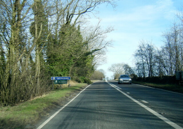
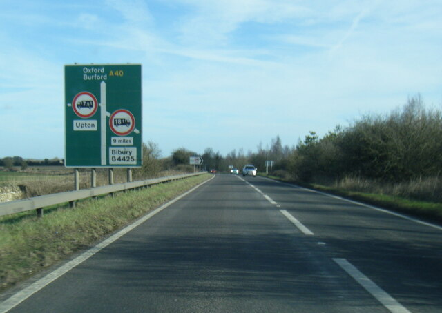
Guggle Wood is located at Grid Ref: SP2212 (Lat: 51.812475, Lng: -1.6750569)

Administrative County: Oxfordshire

District: West Oxfordshire

Police Authority: Thames Valley

What 3 Words

///reverses.whisk.lands. Near Burford, Oxfordshire

Related Wikis

Taynton, Oxfordshire

Taynton is a village and civil parish about 1+1⁄2 miles (2.4 km) northwest of Burford in West Oxfordshire. The village is on Coombe Brook, a tributary...

Upton, West Oxfordshire

Upton is a hamlet on the River Windrush about 1 mile (1.6 km) west of Burford in Oxfordshire, England. Until 1954 Upton was part of the civil parish of...

Church of St Peter, Little Barrington

The Anglican Church of St Peter at Little Barrington in the civil parish of Barrington in the Cotswold District of Gloucestershire, England was built in...
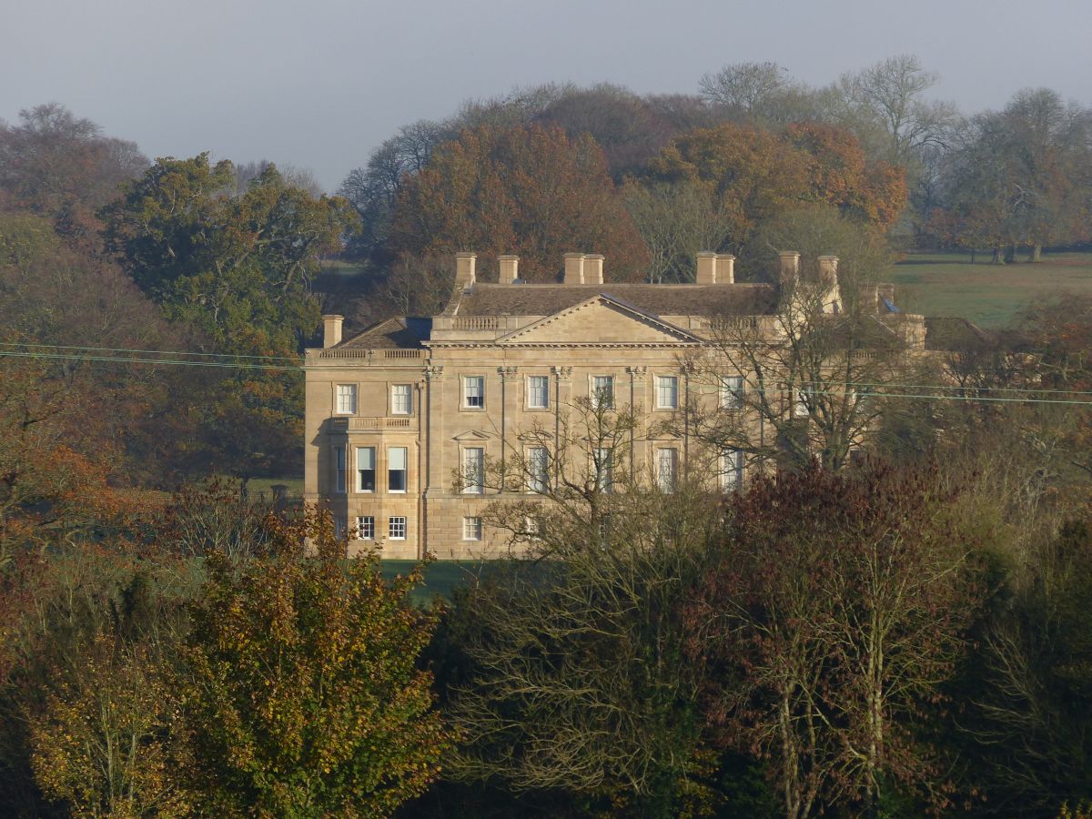
Barrington Park

Barrington Park is a Palladian style country house standing in an estate of the same name near the villages of Great Barrington and Little Barrington,...

Battle Edge

Battle-Edge is a former field, located beside Sheep Street and Tanners Lane, in Burford in Oxfordshire, England where King Æthelbald of Mercia was defeated...
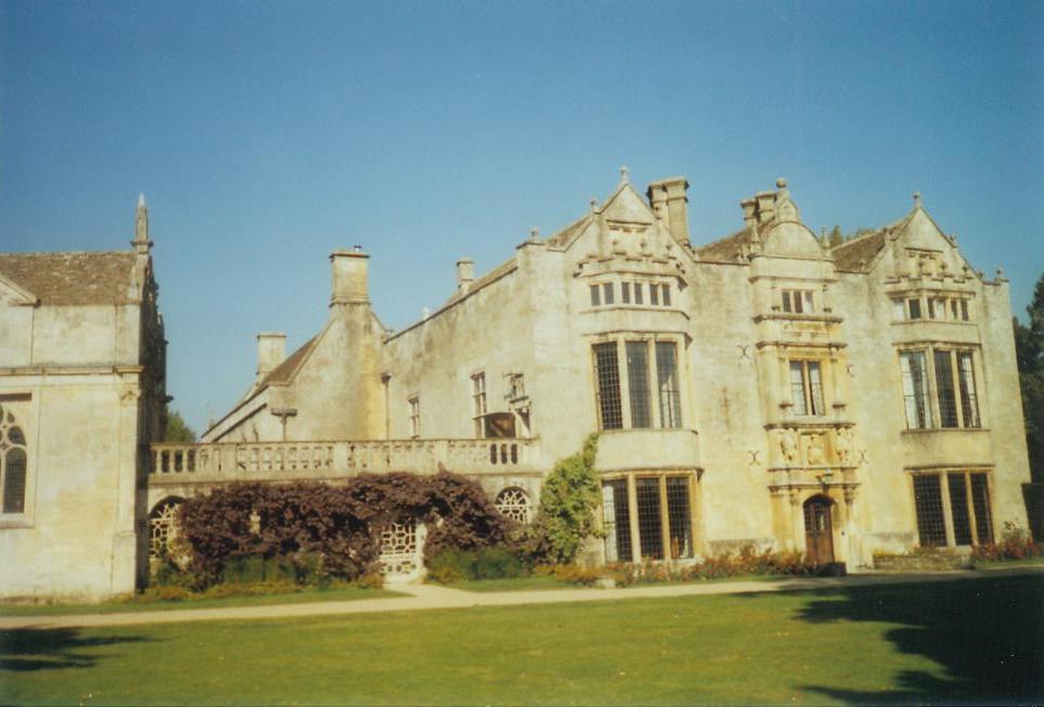
Burford Priory

Burford Priory is a Grade I listed country house and former priory at Burford in West Oxfordshire, England owned by Elisabeth Murdoch, daughter of Rupert...

Westwell, Oxfordshire

Westwell is a small village and civil parish about 2 miles (3 km) southwest of the market town of Burford in Oxfordshire. It is the westernmost village...
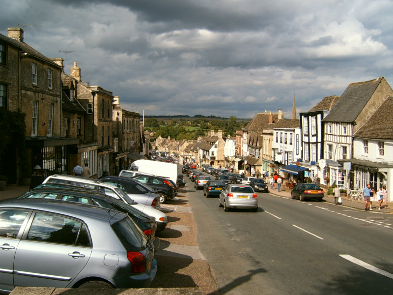
Burford

Burford () is a town on the River Windrush, in the Cotswold hills, in the West Oxfordshire district of Oxfordshire, England. It is often referred to as...

Have you been to Guggle Wood?

Leave your review of Guggle Wood below (or comments, questions and feedback).