Boundary Covert
Wood, Forest in Oxfordshire West Oxfordshire
England
Boundary Covert
Boundary Covert is a picturesque woodland area located in Oxfordshire, England. Situated on the outskirts of the charming village of Wood, the covert is known for its dense forest and enchanting natural beauty. Spanning over a vast expanse of land, it offers a serene and tranquil environment for visitors seeking an escape from the hustle and bustle of city life.
The woodland is primarily composed of various species of trees, including oak, beech, and birch, which create a stunning canopy overhead. This dense foliage provides a sheltered habitat for a diverse range of wildlife, such as deer, foxes, and a multitude of bird species. Birdwatchers and nature enthusiasts are often drawn to Boundary Covert for its abundant birdlife and peaceful atmosphere.
The woodland is crisscrossed by several well-maintained footpaths, allowing visitors to explore its wonders at their own pace. These pathways wind through the forest, offering stunning views of the surrounding landscape and giving hikers the opportunity to immerse themselves in nature. Along the way, there are occasional clearings that provide ideal spots for picnics or simply enjoying the tranquility of the area.
Boundary Covert is a popular destination for both locals and tourists, attracting visitors who appreciate the beauty of the natural world. Whether it is a leisurely walk, a picnic with family and friends, or a chance to spot wildlife, this woodland offers a peaceful retreat for all who venture into its depths.
If you have any feedback on the listing, please let us know in the comments section below.
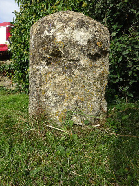
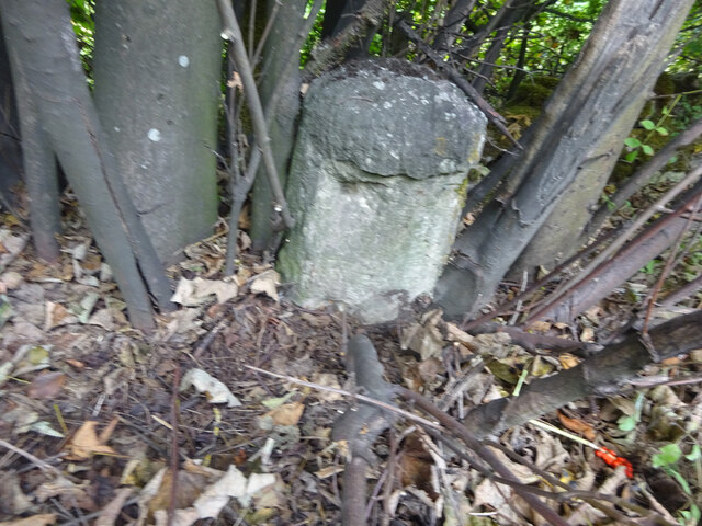
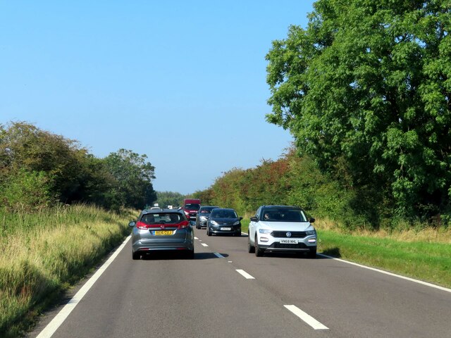
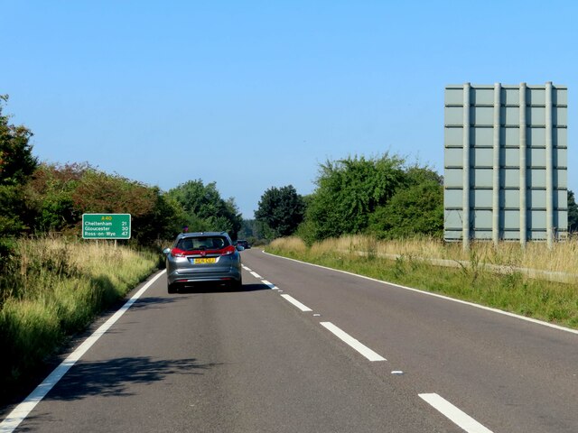
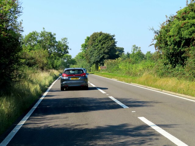
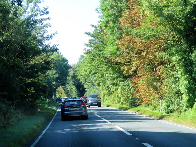
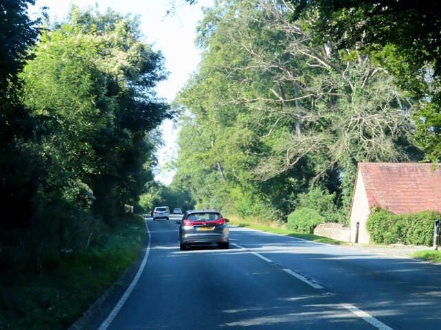
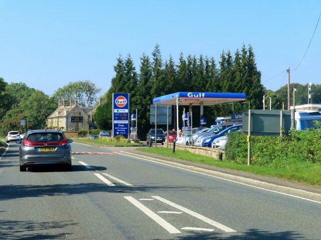
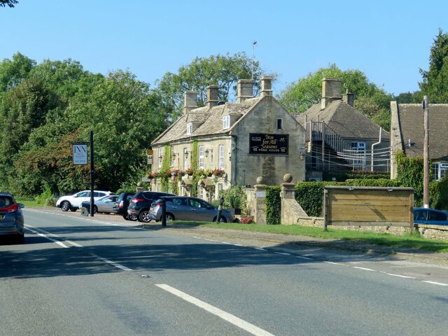
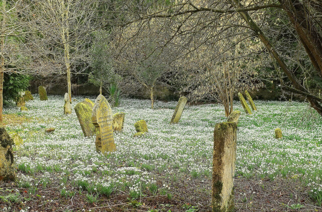
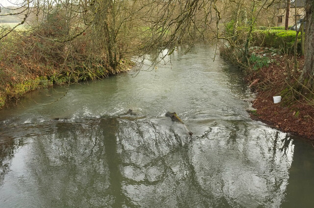
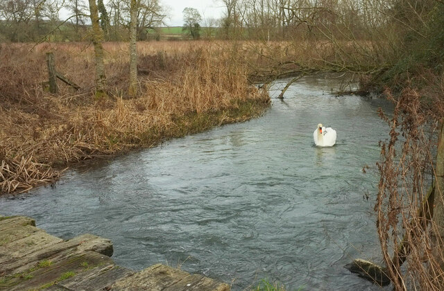
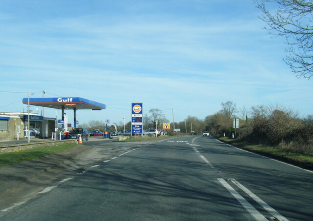
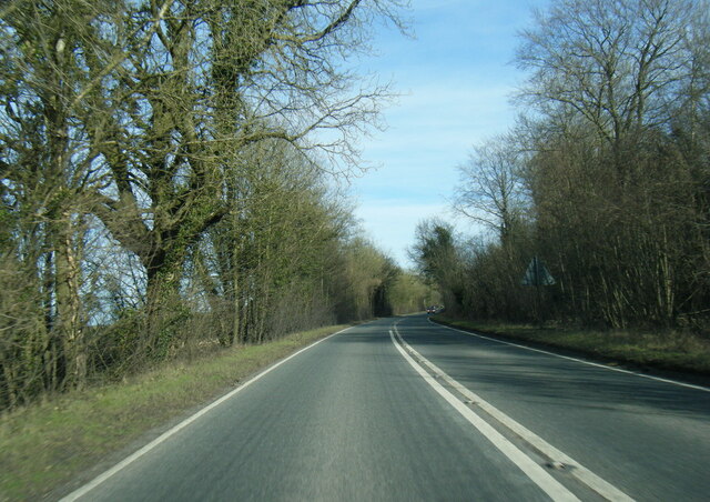
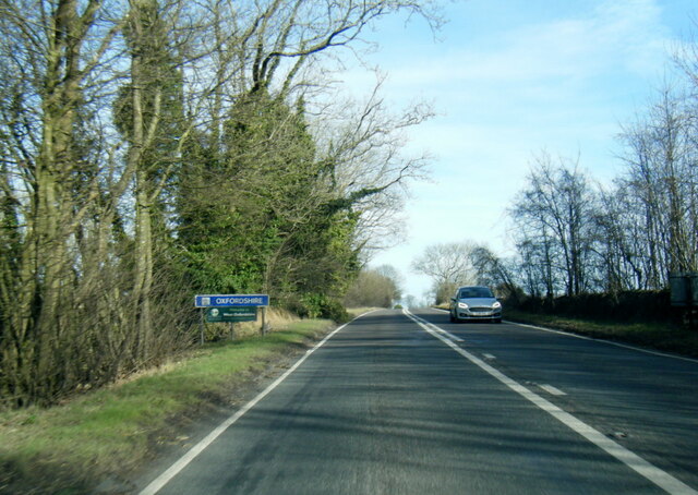
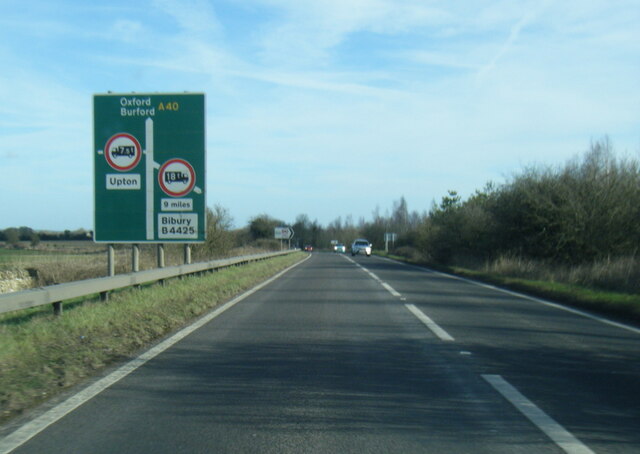
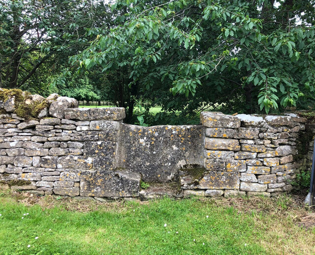
Boundary Covert Images
Images are sourced within 2km of 51.81065/-1.6784206 or Grid Reference SP2212. Thanks to Geograph Open Source API. All images are credited.

Boundary Covert is located at Grid Ref: SP2212 (Lat: 51.81065, Lng: -1.6784206)
Administrative County: Oxfordshire
District: West Oxfordshire
Police Authority: Thames Valley
What 3 Words
///inch.boomer.listen. Near Burford, Oxfordshire
Nearby Locations
Related Wikis

Church of St Peter, Little Barrington
The Anglican Church of St Peter at Little Barrington in the civil parish of Barrington in the Cotswold District of Gloucestershire, England was built in...

Upton, West Oxfordshire
Upton is a hamlet on the River Windrush about 1 mile (1.6 km) west of Burford in Oxfordshire, England. Until 1954 Upton was part of the civil parish of...

Taynton, Oxfordshire
Taynton is a village and civil parish about 1+1⁄2 miles (2.4 km) northwest of Burford in West Oxfordshire. The village is on Coombe Brook, a tributary...
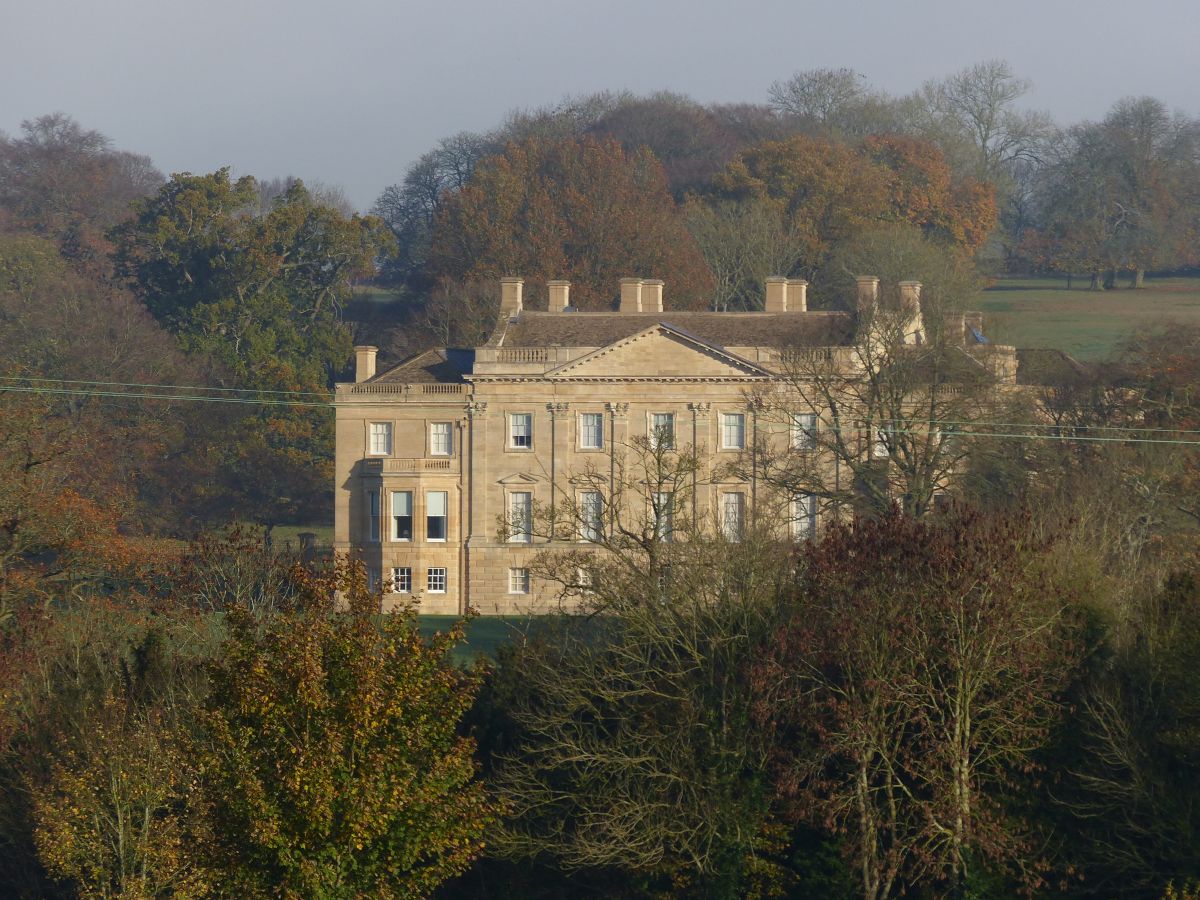
Barrington Park
Barrington Park is a Palladian style country house standing in an estate of the same name near the villages of Great Barrington and Little Barrington,...

Westwell, Oxfordshire
Westwell is a small village and civil parish about 2 miles (3 km) southwest of the market town of Burford in Oxfordshire. It is the westernmost village...

Westwell War Memorial
The Westwell War Memorial is a memorial to the Price brothers erected in the hamlet of Westwell, Oxfordshire after the First World War. The limestone...
Battle Edge
Battle-Edge is a former field, located beside Sheep Street and Tanners Lane, in Burford in Oxfordshire, England where King Æthelbald of Mercia was defeated...
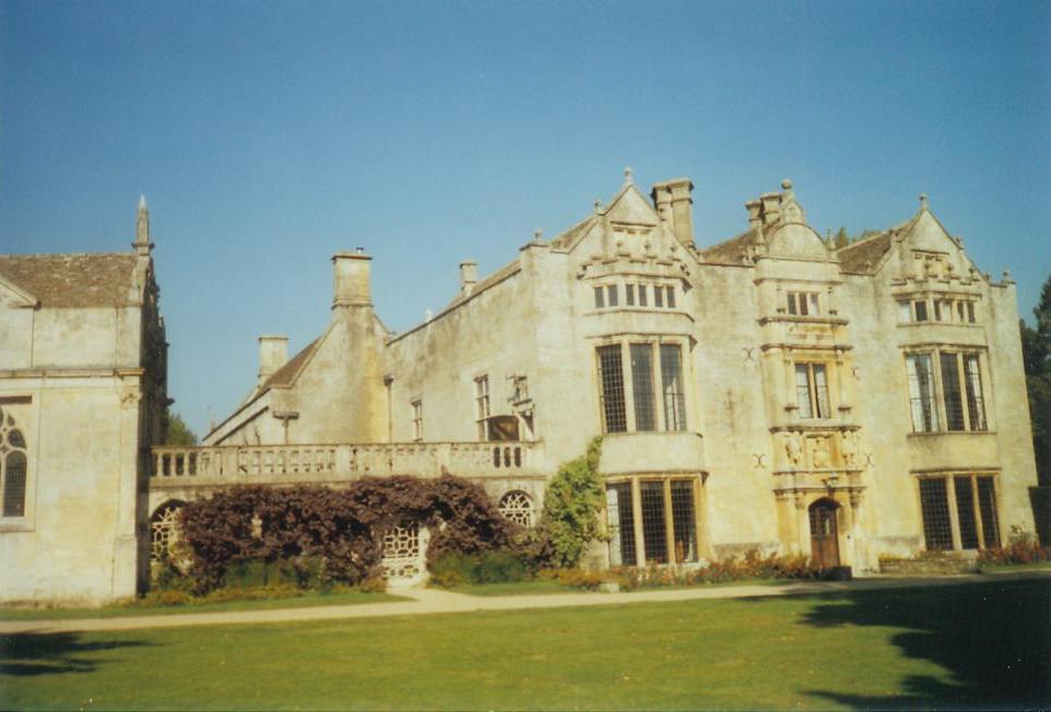
Burford Priory
Burford Priory is a Grade I listed country house and former priory at Burford in West Oxfordshire, England owned by Elisabeth Murdoch, daughter of Rupert...
Have you been to Boundary Covert?
Leave your review of Boundary Covert below (or comments, questions and feedback).