The Belt

Wood, Forest in Oxfordshire West Oxfordshire

England

The Belt

Old Milestone, A40 120 m West of the Gloucestershire/Oxon border. Embedded in trees, not properly visible from the road.

Inscription (was): Gloucester 27 / Oxford 19

Milestone Society National ID: GL_OXGL19
Old Milestone, A40 Credit: Mr Red

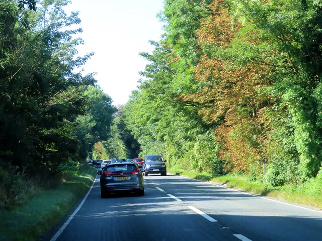
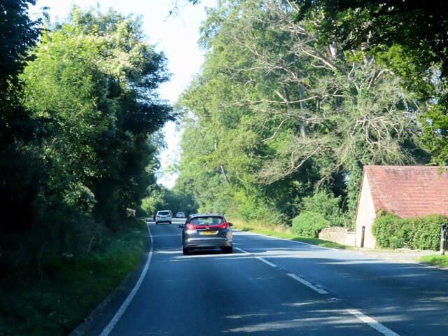
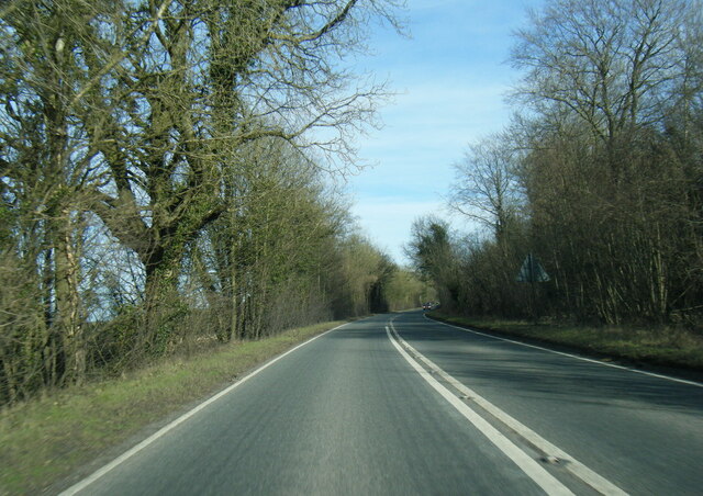
The Belt, located in Oxfordshire, is a delightful woodland area known for its serene and picturesque surroundings. Spanning over a vast expanse, this forested region is a haven for nature enthusiasts and those seeking a peaceful retreat away from the hustle and bustle of city life.

The Belt is characterized by its dense and diverse collection of trees, including oak, beech, and birch, which create a stunning canopy that filters sunlight and casts a gentle shade on the forest floor. The woodland is home to a rich variety of flora and fauna, with wildflowers, ferns, and mosses adding to the natural beauty of the landscape. The tranquil atmosphere is enhanced by the soothing sounds of birdsong and rustling leaves, creating a truly immersive experience for visitors.

This woodland area offers a range of activities for outdoor enthusiasts. Hiking and walking trails meander through the forest, allowing visitors to explore the hidden gems and discover breathtaking viewpoints. The Belt is also a popular spot for birdwatching, with numerous species of birds making their homes in the forest.

Additionally, the forest is well-maintained, with designated picnic areas and benches scattered throughout, providing a perfect setting for a leisurely lunch or a moment of quiet reflection. The Belt is easily accessible, with ample parking facilities and well-marked paths, ensuring a hassle-free experience for visitors.

In conclusion, The Belt in Oxfordshire is a stunning woodland retreat that offers a tranquil escape for nature lovers. With its diverse flora and fauna, scenic trails, and peaceful ambiance, it is an ideal destination for those seeking solace in the beauty of the natural world.

If you have any feedback on the listing, please let us know in the comments section below.
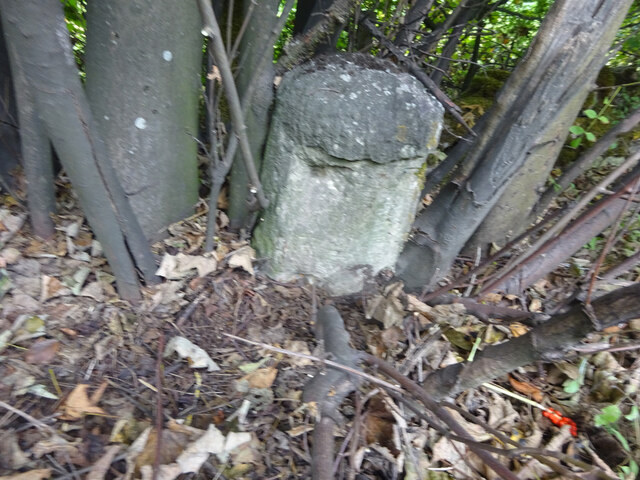
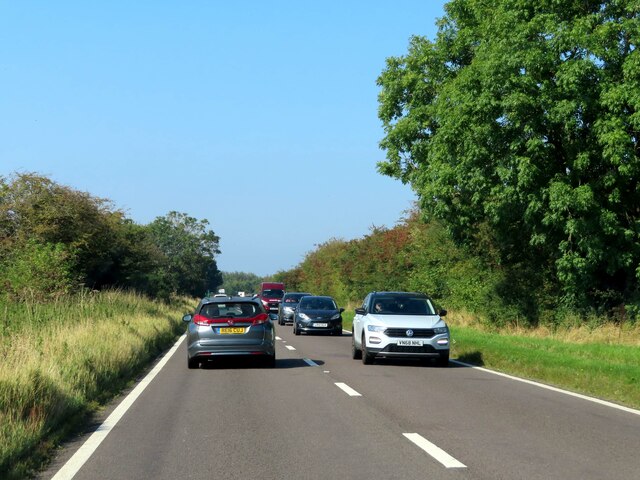
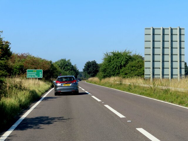
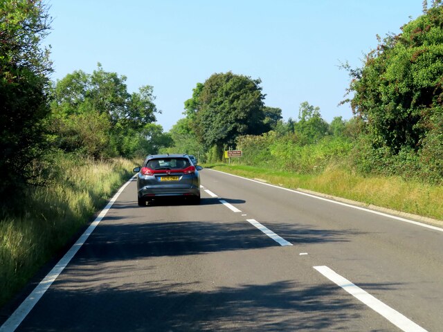
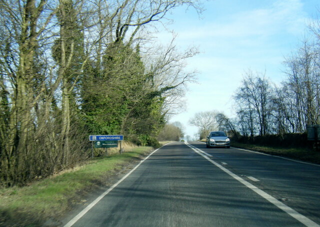
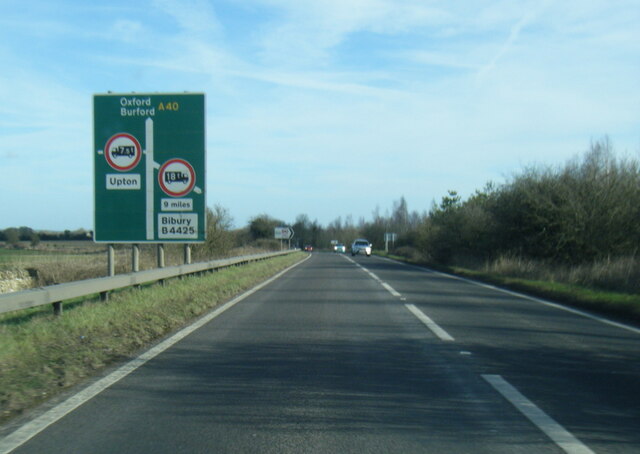
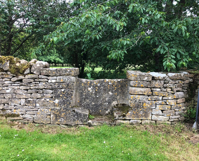
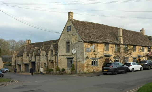
The Belt Images

Images are sourced within 2km of 51.811026/-1.6680613 or Grid Reference SP2212. Thanks to Geograph Open Source API. All images are credited.

Old Milestone, A40 120 m West of the Gloucestershire/Oxon border. Embedded in trees, not properly visible from the road.

Inscription (was): Gloucester 27 / Oxford 19

Milestone Society National ID: GL_OXGL19
Old Milestone, A40
120 m West of the Gloucestershire/Oxon border. Embedded in trees, not properly visible from the road. Inscription (was): Gloucester 27 / Oxford 19 Milestone Society National ID: GL_OXGL19
A busy A40 leaving Burford
The A40 heading west
The A40 heading west past the Lodge
Tree surgery, Burford On Sheep Street as it leads west out of town, seen from the junction with Tanners Lane. The trees are at the edge of Priory Wood.
Tree surgery, Burford
On Sheep Street as it leads west out of town, seen from the junction with Tanners Lane. The trees are at the edge of Priory Wood.
Window, Lamb Inn, Burford The inn, also shown at <a title="https://www.geograph.org.uk/search.php?i=151978056" href="https://www.geograph.org.uk/search.php?i=151978056">Link</a> , is listed <span class="nowrap"><a title="https://historicengland.org.uk/listing/the-list/list-entry/1266455?section=official-listing" rel="nofollow ugc noopener" href="https://historicengland.org.uk/listing/the-list/list-entry/1266455?section=official-listing">Link</a><img style="margin-left:2px;" alt="External link" title="External link - shift click to open in new window" src="https://s1.geograph.org.uk/img/external.png" width="10" height="10"/></span> . I think this is "The best feature ... a 4-light window with cusp head lancets with a stilted label at right-hand end". It faces Priory Lane.
Window, Lamb Inn, Burford
The inn, also shown at Link , is listed LinkExternal link . I think this is "The best feature ... a 4-light window with cusp head lancets with a stilted label at right-hand end". It faces Priory Lane.
A40 eastbound near Home Park
A40 eastbound at Oxfordshire boundary
A40 nearing the B4425 junction
A40 at Burford boundary
Stone Stile, Taynton Looking South from outside No 32. The view looking North to the road is <a href="https://www.geograph.org.uk/photo/7228086">SP2313 : Stone Stile, Taynton</a>. The stile is not on a registered footpath, probably a private route to the mill.
Stone Stile, Taynton
Looking South from outside No 32. The view looking North to the road is SP2313 : Stone Stile, Taynton. The stile is not on a registered footpath, probably a private route to the mill.
Stone Stile, Taynton Looking North to the No 32. The view looking South from the road is <a href="https://www.geograph.org.uk/photo/7228085">SP2313 : Stone Stile, Taynton</a>. The stile is not on a registered footpath, probably a private route to the mill.
Stone Stile, Taynton
Looking North to the No 32. The view looking South from the road is SP2313 : Stone Stile, Taynton. The stile is not on a registered footpath, probably a private route to the mill.
The Lamb Inn, Burford A similar view to several of those at <a title="https://www.geograph.org.uk/gridref/SP2412?centi=SP249122" href="https://www.geograph.org.uk/gridref/SP2412?centi=SP249122">Link</a> . The building is at the corner of Priory Lane (left) and Sheep Street. <span class="nowrap"><a title="https://historicengland.org.uk/listing/the-list/list-entry/1266455?section=official-list-entry" rel="nofollow ugc noopener" href="https://historicengland.org.uk/listing/the-list/list-entry/1266455?section=official-list-entry">Link</a><img style="margin-left:2px;" alt="External link" title="External link - shift click to open in new window" src="https://s1.geograph.org.uk/img/external.png" width="10" height="10"/></span>
The Lamb Inn, Burford
A similar view to several of those at Link . The building is at the corner of Priory Lane (left) and Sheep Street. LinkExternal link
Middle Road, Little Barrington Part of a considerably wide grass triangle at the T-junction with Minnow Lane. The wall on the left, enclosing Barrington Grove, is listed <span class="nowrap"><a title="https://historicengland.org.uk/listing/the-list/list-entry/1340848?section=official-list-entry" rel="nofollow ugc noopener" href="https://historicengland.org.uk/listing/the-list/list-entry/1340848?section=official-list-entry">Link</a><img style="margin-left:2px;" alt="External link" title="External link - shift click to open in new window" src="https://s1.geograph.org.uk/img/external.png" width="10" height="10"/></span> , though it's unclear for how far.
Middle Road, Little Barrington
Part of a considerably wide grass triangle at the T-junction with Minnow Lane. The wall on the left, enclosing Barrington Grove, is listed LinkExternal link , though it's unclear for how far.
Fields and trees, Little Barrington Looking right from <a href="https://www.geograph.org.uk/photo/7429433">SP2112 : Middle Road, Little Barrington</a>.
Fields and trees, Little Barrington
Show me another place!

The Belt is located at Grid Ref: SP2212 (Lat: 51.811026, Lng: -1.6680613)

Administrative County: Oxfordshire

District: West Oxfordshire

Police Authority: Thames Valley

What 3 Words

///brands.postings.shirts. Near Burford, Oxfordshire

Related Wikis

Upton, West Oxfordshire

Upton is a hamlet on the River Windrush about 1 mile (1.6 km) west of Burford in Oxfordshire, England. Until 1954 Upton was part of the civil parish of...

Taynton, Oxfordshire

Taynton is a village and civil parish about 1+1⁄2 miles (2.4 km) northwest of Burford in West Oxfordshire. The village is on Coombe Brook, a tributary...

Battle Edge

Battle-Edge is a former field, located beside Sheep Street and Tanners Lane, in Burford in Oxfordshire, England where King Æthelbald of Mercia was defeated...
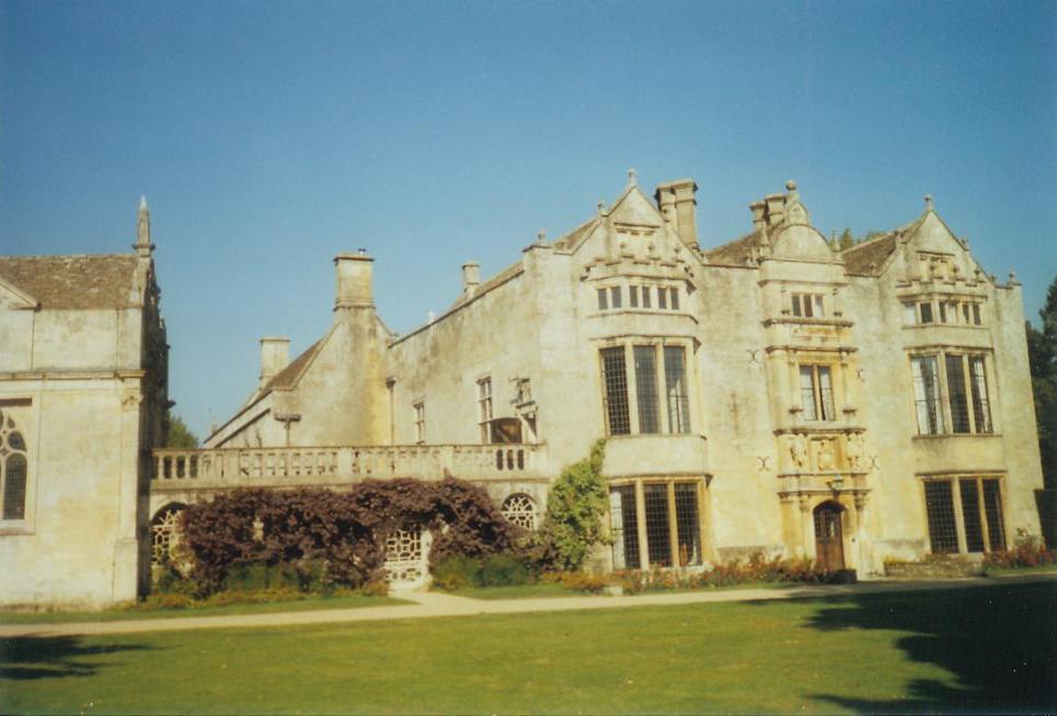
Burford Priory

Burford Priory is a Grade I listed country house and former priory at Burford in West Oxfordshire, England owned by Elisabeth Murdoch, daughter of Rupert...

Church of St Peter, Little Barrington

The Anglican Church of St Peter at Little Barrington in the civil parish of Barrington in the Cotswold District of Gloucestershire, England was built in...
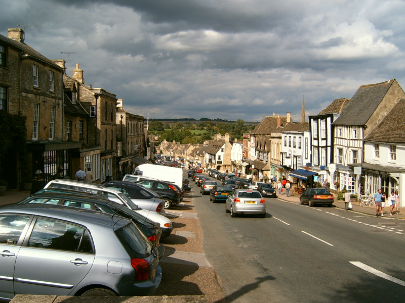
Burford

Burford () is a town on the River Windrush, in the Cotswold hills, in the West Oxfordshire district of Oxfordshire, England. It is often referred to as...

Tolsey Museum

The Tolsey Museum is a local museum in the town of Burford, west Oxfordshire, England. It is located in a Tudor style structure, known as The Tolsey, which...

Burford Methodist Church

Burford Methodist Church is a baroque building in the High Street of Burford, Oxfordshire. It was built between about 1715 and 1730 as a private house...

Have you been to The Belt?

Leave your review of The Belt below (or comments, questions and feedback).