Toby Wood

Wood, Forest in Yorkshire

England

Toby Wood

View from Snailsden Moor View from Snailsden Moor towards Emley Moor TV mast.
View from Snailsden Moor Credit: Dave Pickersgill

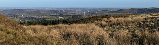
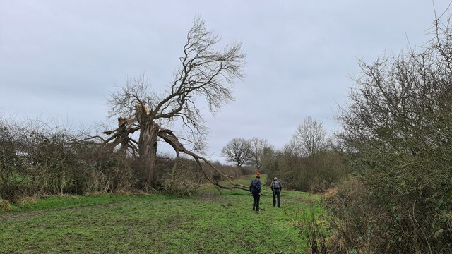
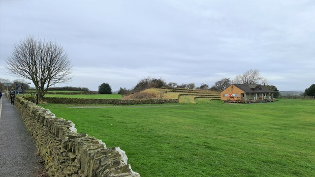
Toby Wood is a small but significant woodland located in the county of Yorkshire, England. Situated in the heart of the picturesque Yorkshire Dales, this forested area covers an approximate area of 200 acres. The woodland is renowned for its natural beauty and tranquil atmosphere, making it a popular destination for nature enthusiasts and hikers.

Toby Wood is predominantly composed of native broadleaf trees such as oak, beech, and ash, creating a diverse and vibrant ecosystem. The forest floor is adorned with a rich carpet of wildflowers, and the air is filled with the sweet scent of nature. The wood is intersected by several well-maintained footpaths, allowing visitors to explore the area and enjoy its serenity.

The woodland is home to an array of wildlife, including numerous bird species, squirrels, and deer. Birdwatchers can catch sight of woodpeckers, owls, and various migratory birds, while lucky visitors may even spot a red squirrel darting through the trees. The forest also houses a variety of insects, adding to its overall biodiversity.

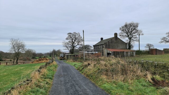
Toby Wood has a rich history, dating back centuries. It is believed that the forest was once part of a larger hunting ground owned by the nobility. Today, it remains a precious natural resource, protected and managed by local authorities. The wood is open to the public year-round, offering a peaceful retreat from the hustle and bustle of city life.

In conclusion, Toby Wood in Yorkshire is a captivating woodland, providing a haven for both flora and fauna. It offers visitors the opportunity to immerse themselves in the beauty of nature, making it a cherished destination for all who seek solace in the great outdoors.

If you have any feedback on the listing, please let us know in the comments section below.
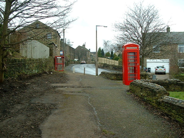
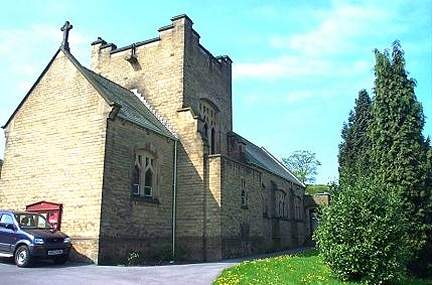
Toby Wood Images

Images are sourced within 2km of 53.568584/-1.6692672 or Grid Reference SE2208. Thanks to Geograph Open Source API. All images are credited.

View from Snailsden Moor View from Snailsden Moor towards Emley Moor TV mast.
View from Snailsden Moor
View from Snailsden Moor towards Emley Moor TV mast.
The Foresters Arms Public house and restaurant in Lower Cumberworth
The Foresters Arms
Public house and restaurant in Lower Cumberworth
Cumberworth United Cricket Club Pavilion
Long Royd Farm
Long Royd Farm
How the mighty have fallen Ash died back
How the mighty have fallen
Ash died back
Lane Hackings Green
Lane Hackings Green
Cumberworth Lane, Lower Cumberworth
Cumberworth United Cricket Club ground
Long Royd
Long Royd
Old milestone A view of the 8 miles from Barnsley milestone under the arch of the railway viaduct at Denby Dale.  Trains from Barnsley approach from the left and the station is a short distance to the right across the A636 Wakefield Road.
Old milestone
A view of the 8 miles from Barnsley milestone under the arch of the railway viaduct at Denby Dale. Trains from Barnsley approach from the left and the station is a short distance to the right across the A636 Wakefield Road.
Old milestone This is the last late 19C West Riding CC milestone between Barnsley and Shepley Lane Head.   There would have been two more but they are missing.   Many of the metal attachments had the foundry name on the bevel but the ones on this route haven't so we don't know where they were forged.   On this milestone the four fixing points for the attachment to the backing stone can be seen.  Grade II listed 1135325.
Old milestone
This is the last late 19C West Riding CC milestone between Barnsley and Shepley Lane Head. There would have been two more but they are missing. Many of the metal attachments had the foundry name on the bevel but the ones on this route haven't so we don't know where they were forged. On this milestone the four fixing points for the attachment to the backing stone can be seen. Grade II listed 1135325.
Post Box at Upper Denby HD8 236. Royal Mail list this box as 'Upper Denby'.
Post Box at Upper Denby
HD8 236. Royal Mail list this box as 'Upper Denby'.
Old milestone One of the five remaining West Riding CC milestones with a protruding attachment still to be seen on this route, A636, from Wakefield to Denby Dale.  It is at the northeastern end of Denby Dale, although apparently this area was in Skelmanthorpe parish.  It is close to the entrance to Putting Mill Walk.   Grade II listed 1185069.
Old milestone
One of the five remaining West Riding CC milestones with a protruding attachment still to be seen on this route, A636, from Wakefield to Denby Dale. It is at the northeastern end of Denby Dale, although apparently this area was in Skelmanthorpe parish. It is close to the entrance to Putting Mill Walk. Grade II listed 1185069.
Old milestone This West Riding CC milestone is seen when leaving Denby Dale just beyond the railway viaduct and before the junction with the A635 from Barnsley.   Only a few of these flat castings were made, usually where there was no space for the protruding style.  However this one is unique.   It is the only one of the surviving flat castings which is not divided by a central raised line.   This is because Denby Dale and Wakefield are in the same direction.  Another difference is that the foundry name is at the centre top instead of on the left side.   It is Grade II listed 1135309.
Old milestone
This West Riding CC milestone is seen when leaving Denby Dale just beyond the railway viaduct and before the junction with the A635 from Barnsley. Only a few of these flat castings were made, usually where there was no space for the protruding style. However this one is unique. It is the only one of the surviving flat castings which is not divided by a central raised line. This is because Denby Dale and Wakefield are in the same direction. Another difference is that the foundry name is at the centre top instead of on the left side. It is Grade II listed 1135309.
Old milestone This milestone is set into the garden wall of Salt Pie Cottage on the A629 between High Flatts and Birds Edge.  The owners rebuilt the wall to show more of the milestone and on a very sunny day it is surrounded by flowers, possibly of the mallow family.   It is 9 miles to Huddersfield and 3¼ to Penistone on the old tollroad.  Grade II listed 1135304.
Old milestone
This milestone is set into the garden wall of Salt Pie Cottage on the A629 between High Flatts and Birds Edge. The owners rebuilt the wall to show more of the milestone and on a very sunny day it is surrounded by flowers, possibly of the mallow family. It is 9 miles to Huddersfield and 3¼ to Penistone on the old tollroad. Grade II listed 1135304.
St John the Evangelist Church, Upper Denby A handsome building.
St John the Evangelist Church, Upper Denby
A handsome building.
Farm Buildings, Papist Hill Note the fine concrete bin.
Farm Buildings, Papist Hill
Note the fine concrete bin.
St John the Evangelist, Denby - south side The church was built in 1842-3, typically for its time with galleries but no chancel. Equally typical of its time was the removal of the galleries and addition of a chancel and porch in 1900. Grade II listed (list entry 1313363).
St John the Evangelist, Denby - south side
The church was built in 1842-3, typically for its time with galleries but no chancel. Equally typical of its time was the removal of the galleries and addition of a chancel and porch in 1900. Grade II listed (list entry 1313363).
Show me another place!

Toby Wood is located at Grid Ref: SE2208 (Lat: 53.568584, Lng: -1.6692672)

Division: West Riding

Unitary Authority: Kirklees

Police Authority: West Yorkshire

What 3 Words

///bumping.fenced.youths. Near Denby Dale, West Yorkshire

Related Wikis

Denby Dale Viaduct

Denby Dale Viaduct is a grade II listed railway viaduct in Denby Dale, West Yorkshire, England. The curving viaduct carries the Penistone line over the...

Denby Dale railway station

Denby Dale railway station serves the village of Denby Dale, in West Yorkshire, England and the surrounding area. It lies on the Penistone Line 9.5 miles...

Lower Cumberworth

Lower Cumberworth is a village in the borough of Kirklees, West Yorkshire, England. The village is situated 8 miles (13 km) to the south-east of Huddersfield...

Denby Dale

Denby Dale is a village and civil parish in the metropolitan borough of Kirklees in West Yorkshire, England. It is 10 miles (17 km) to the south-east of...

Upper Cumberworth

Upper Cumberworth is a small village in West Yorkshire, England, within the civil parish of Denby Dale and the Diocese of Wakefield. It is between the...

Upper Denby

Upper Denby is a small village within the civil parish of Denby Dale, and the borough of Kirklees in West Yorkshire, England. Lying 11 miles (17 km) to...

Birdsedge

Birdsedge (or Birds Edge) is a small village in the borough of Kirklees in West Yorkshire, England, on the edge of Yorkshire's Pennine Hills, standing...

Ingbirchworth

Ingbirchworth is a village and former civil parish, now in the parish of Gunthwaite and Ingbirchworth, in the Barnsley district, in the county of South...

Nearby Amenities

Located within 500m of 53.568584,-1.6692672
Bus Stop
Wakefield Road Barnsley Road
Bus: yes
Local Ref: 45020823
Naptan AtcoCode: 450020823
Naptan Bearing: E
Naptan CommonName: Wakefield Road Barnsley Road
Naptan Crossing: Barnsley Road
Naptan Indicator: Stop 45020823
Naptan Landmark: Railway Station
Naptan PlusbusZoneRef: LEEDS
Naptan ShortCommonName: Barnsley Road
Naptan Street: Wakefield Road
Naptan Verified: no
Public Transport: platform
Shelter: no
Source: naptan_import
Lat/Long: 53.5706572/-1.6697027
Bus Stop
Barnsley Road Wakefield Road
Bus: yes
Local Ref: 45020824
Naptan AtcoCode: 450020824
Naptan Bearing: W
Naptan CommonName: Barnsley Road Wakefield Road
Naptan Crossing: Wakefield Road
Naptan Indicator: Stop 45020824
Naptan PlusbusZoneRef: LEEDS
Naptan ShortCommonName: Wakefield Road
Naptan Street: Barnsley Road
Naptan Verified: no
Public Transport: platform
Source: naptan_import
Lat/Long: 53.5704012/-1.671411
Barrier: kissing_gate
Lat/Long: 53.5691416/-1.6741641
Milestone
Denby Dale Milestone Marker
Lat/Long: 53.5714071/-1.6662611
Barrier: stile
Stile: stepover
Lat/Long: 53.565546/-1.6648556
Barrier: stile
Lat/Long: 53.5659629/-1.6668053
Barrier: stile
Step Count: 3
Stile: stepover
Lat/Long: 53.5665794/-1.6719657
Barrier: stile
Step Count: 2
Stile: stepover
Lat/Long: 53.5673091/-1.6730752
Barrier: stile
Step Count: 2
Stile: stepover
Lat/Long: 53.5660601/-1.6731043
Barrier: stile
Step Count: 2
Stile: stepover
Lat/Long: 53.5649774/-1.6737137
Z Hinchliffe & Sons Ltd
Man Made: works
Product: textiles
Lat/Long: 53.5711528/-1.6634455
The data included in this document is from www.openstreetmap.org. The data is made available under ODbL.

Have you been to Toby Wood?

Leave your review of Toby Wood below (or comments, questions and feedback).