Nutwith Common
Wood, Forest in Yorkshire Harrogate
England
Nutwith Common
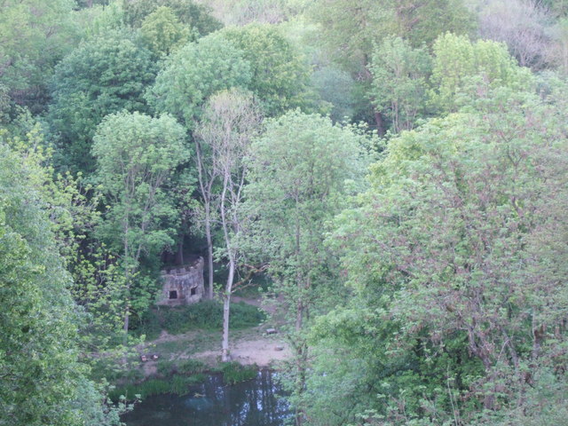
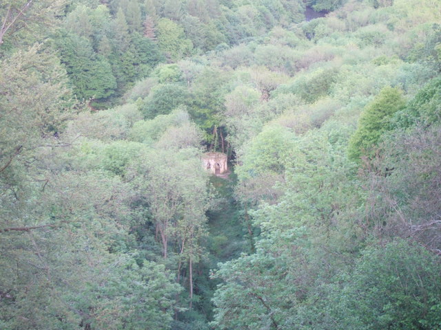
Nutwith Common is a picturesque woodland area located in the county of Yorkshire, England. Spanning approximately 200 acres, it is a designated Site of Special Scientific Interest and is known for its diverse range of flora and fauna. The common is situated near the villages of Melmerby and Ripon, offering a peaceful retreat for nature enthusiasts and locals alike.
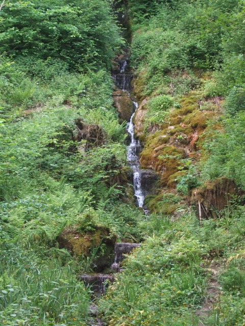
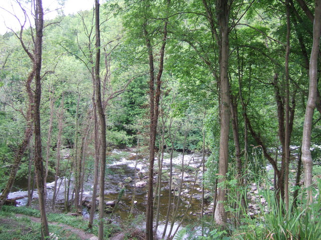
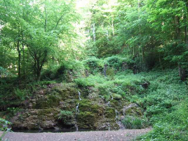
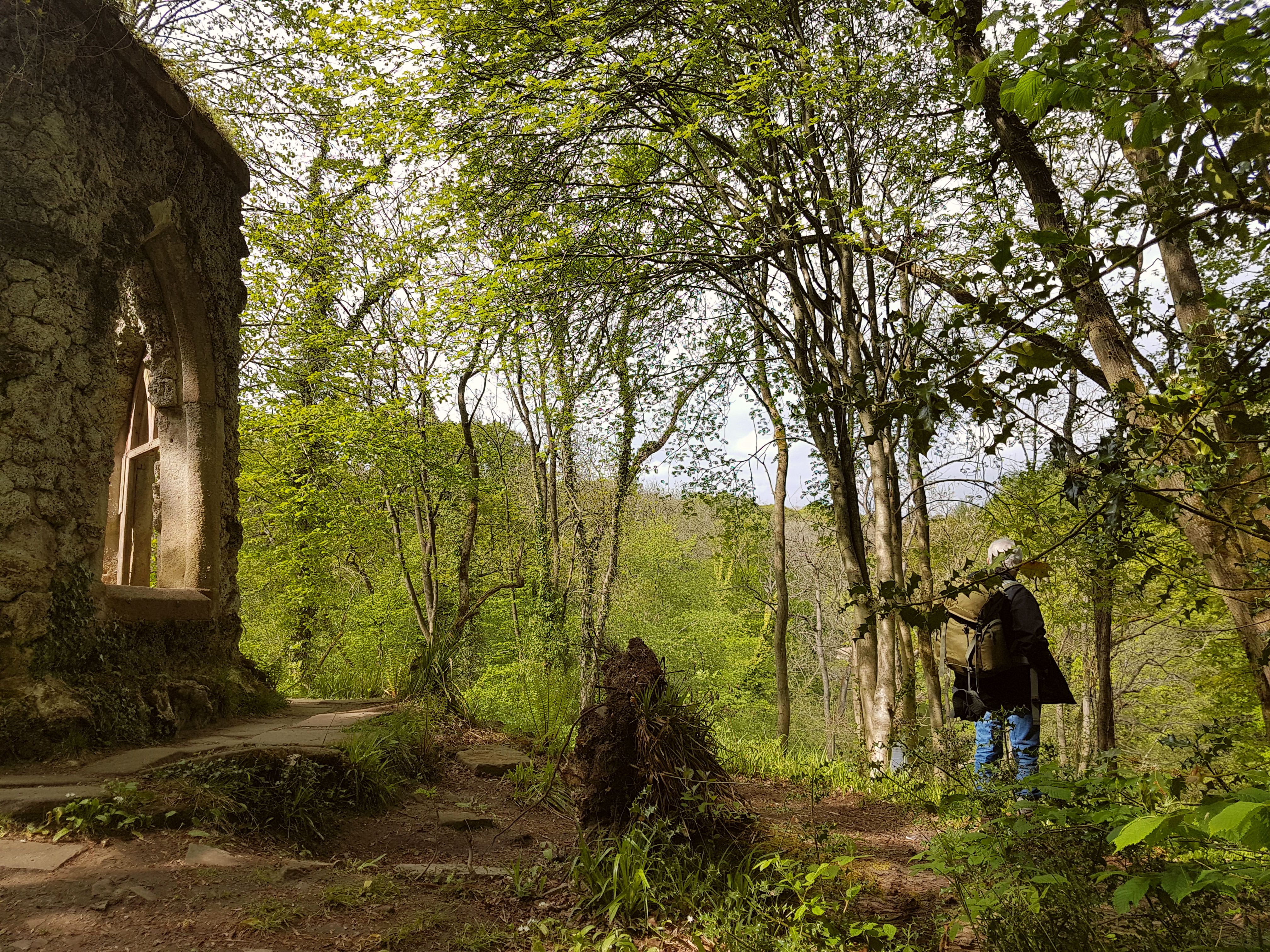
The woodland of Nutwith Common is primarily composed of mature broadleaf trees, including oak, beech, and birch. These trees provide a dense canopy, creating a shaded and tranquil environment. The forest floor is adorned with an array of wildflowers, such as bluebells, primroses, and wood anemones, which bloom in vibrant colors during the spring months.
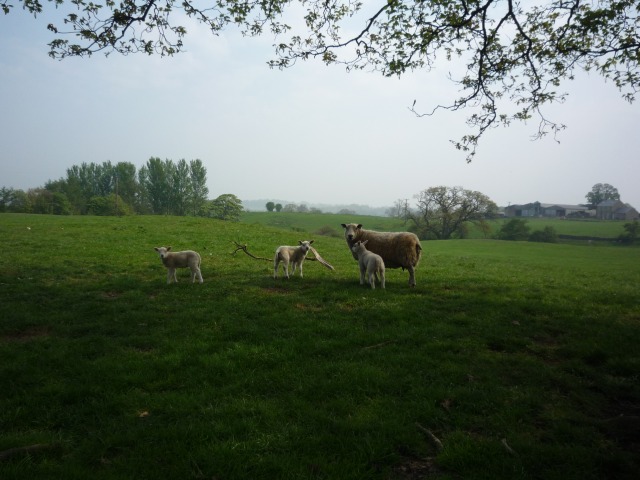
The common is home to a wide variety of wildlife, making it an ideal spot for birdwatchers and animal lovers. Visitors may spot species such as tawny owls, woodpeckers, badgers, and foxes. The area is also rich in insect life, with butterflies, bees, and dragonflies adding to the ecological diversity.
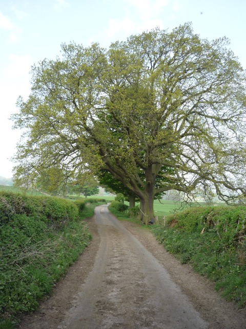
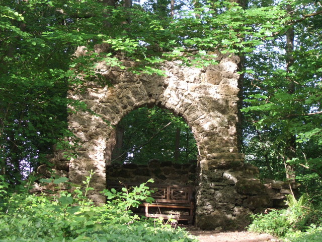
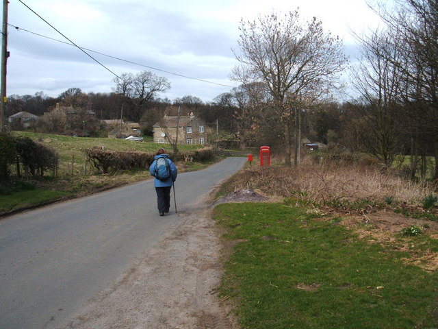
Nutwith Common offers several walking trails that allow visitors to explore the woodland at their own pace. These trails wind through the trees, offering glimpses of stunning vistas and hidden corners. The common is well-maintained, with clear paths and signage to guide visitors and prevent damage to the delicate ecosystem.
Overall, Nutwith Common is a captivating woodland area that showcases the beauty of Yorkshire's natural landscapes. Its rich biodiversity, scenic trails, and peaceful ambiance make it a popular destination for nature lovers seeking respite from the hustle and bustle of everyday life.
If you have any feedback on the listing, please let us know in the comments section below.
Nutwith Common Images
Images are sourced within 2km of 54.195743/-1.6641614 or Grid Reference SE2277. Thanks to Geograph Open Source API. All images are credited.


Nutwith Common is located at Grid Ref: SE2277 (Lat: 54.195743, Lng: -1.6641614)
Division: North Riding
Administrative County: North Yorkshire
District: Harrogate
Police Authority: North Yorkshire
What 3 Words
///rosier.husky.outsiders. Near Masham, North Yorkshire
Nearby Locations
Related Wikis

Swinton with Warthermarske
Swinton with Warthermarske is a civil parish in Harrogate district, North Yorkshire, England. The parish includes the village of Swinton and the hamlets...

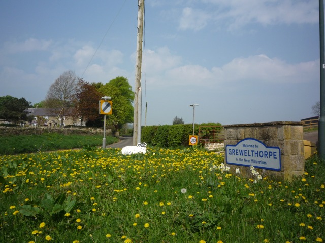
Grewelthorpe
Grewelthorpe is a village and civil parish in the Harrogate district of North Yorkshire, England situated 3 miles (5 km) south of Masham and 6.2 miles...
Warthermarske
Warthermarske is a hamlet in the Harrogate borough of North Yorkshire, England. It is near Swinton, about 1 mile (2 km) south-west of Masham. The village...
Hack Fall Wood
Hack Fall Wood, otherwise known as Hackfall, is a Site of Special Scientific Interest, or SSSI, of 44.8687 hectares (0.4487 km2; 0.1732 sq mi), lying north...
Swinton, Harrogate
Swinton is a small village in the Harrogate district of North Yorkshire, England. It is situated to the immediate south-west of Masham and separated from...

Swinton Estate
The Swinton Estate is a large privately owned estate in North Yorkshire, England. It comprises some 20,000 acres (8,100 ha) of countryside in the Nidderdale...

Church of St Mary the Virgin, Masham
The Church of St Mary the Virgin, Masham (also known as the Church of St Mary or St Mary's Church), is the parish church in the town of Masham, North Yorkshire...
Masham Town Hall
Masham Town Hall is a municipal building in the Little Market Place, Masham, North Yorkshire, England. The structure, which is used as an events venue...
Have you been to Nutwith Common?
Leave your review of Nutwith Common below (or comments, questions and feedback).