Camp Hill
Hill, Mountain in Yorkshire Harrogate
England
Camp Hill
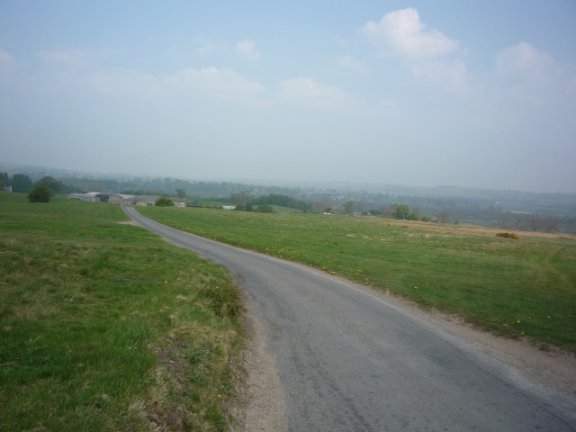
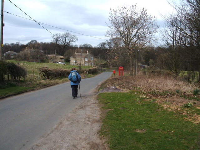
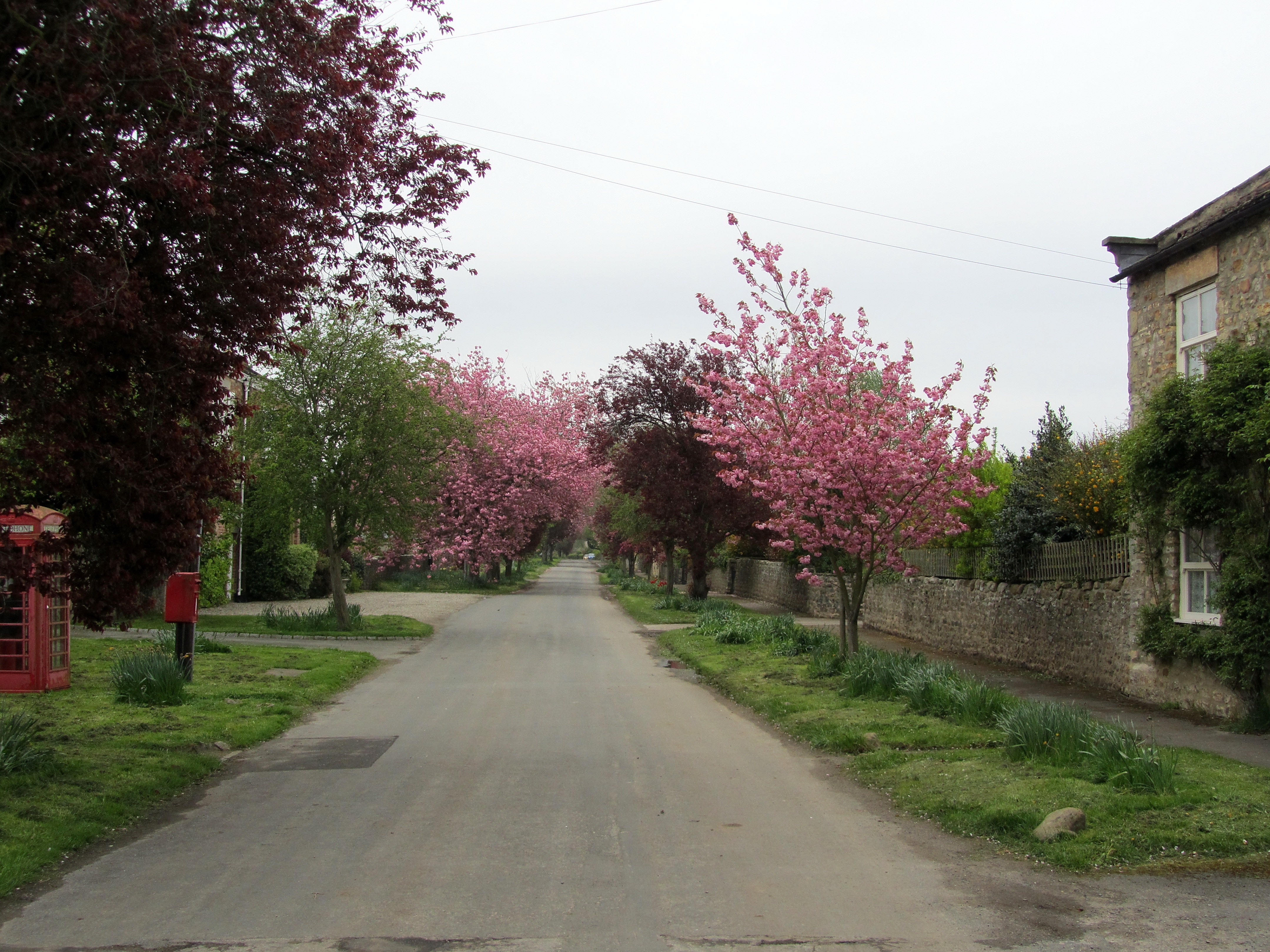
Camp Hill is a small village located in the district of Selby, in the county of North Yorkshire, England. Situated on the eastern edge of the Pennines, it is known for its picturesque setting amidst rolling countryside and gentle hills. The village is nestled on the slopes of a hill, hence its name, and provides stunning views of the surrounding landscape.
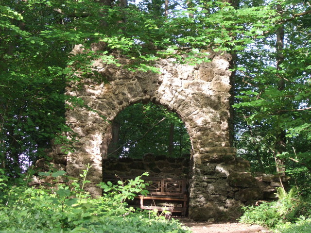
Despite its size, Camp Hill has a rich history dating back centuries. It was originally a Roman settlement, and remnants of Roman roads and structures have been discovered in the area. In medieval times, the village was an important stopping point for travelers and pilgrims, as it lay on the route between York and London.
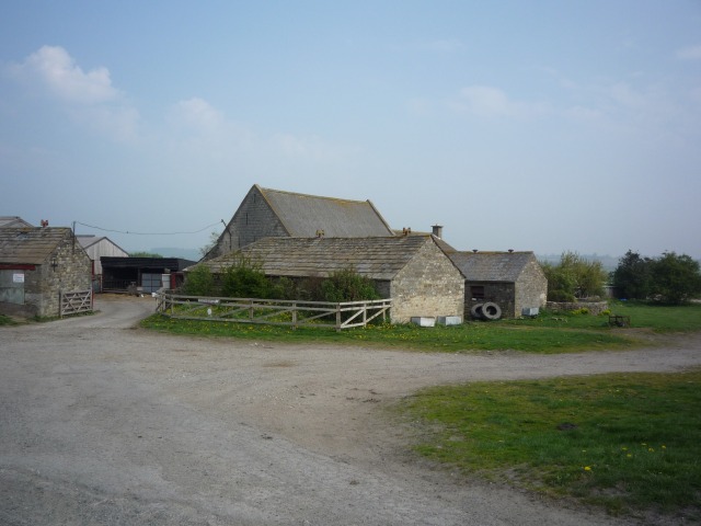
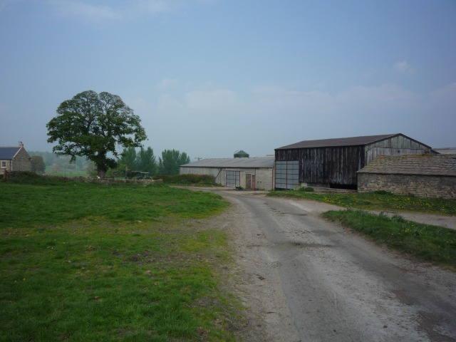
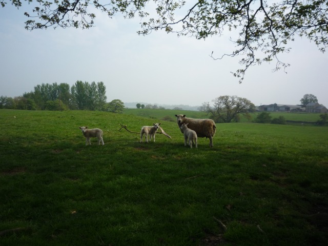
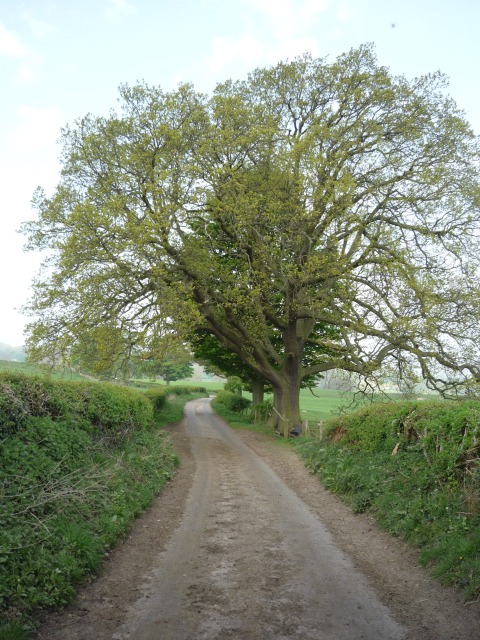
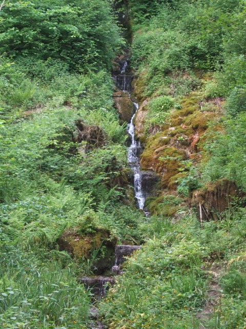
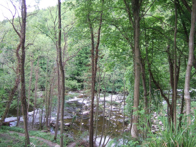
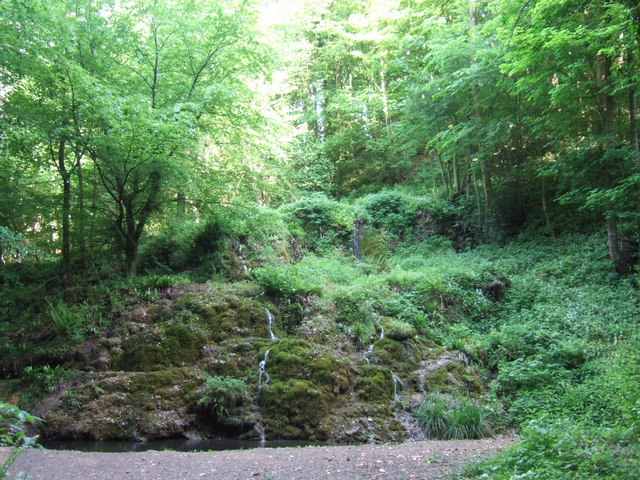
Today, Camp Hill remains a peaceful and idyllic rural retreat. It is characterized by its charming stone cottages, quaint village church, and friendly community. The village is surrounded by lush green fields and meadows, which are often grazed by sheep and cattle. The nearby woodland areas offer opportunities for leisurely walks and hikes, allowing visitors to immerse themselves in the tranquility of nature.
Although Camp Hill is primarily a residential village, it does have some amenities to cater to the needs of its residents. These include a local pub, a small convenience store, and a primary school. For more extensive shopping and entertainment options, the larger towns of Selby and York are easily accessible by car or public transport.
In conclusion, Camp Hill is a charming village set in the picturesque Yorkshire countryside. Its tranquil ambiance, stunning views, and rich history make it an appealing destination for those seeking a peaceful retreat in a scenic setting.
If you have any feedback on the listing, please let us know in the comments section below.
Camp Hill Images
Images are sourced within 2km of 54.192153/-1.6594395 or Grid Reference SE2277. Thanks to Geograph Open Source API. All images are credited.


Camp Hill is located at Grid Ref: SE2277 (Lat: 54.192153, Lng: -1.6594395)
Division: West Riding
Administrative County: North Yorkshire
District: Harrogate
Police Authority: North Yorkshire
What 3 Words
///shining.cliff.parked. Near Masham, North Yorkshire
Nearby Locations
Related Wikis

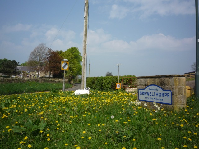
Grewelthorpe
Grewelthorpe is a village and civil parish in the Harrogate district of North Yorkshire, England situated 3 miles (5 km) south of Masham and 6.2 miles...
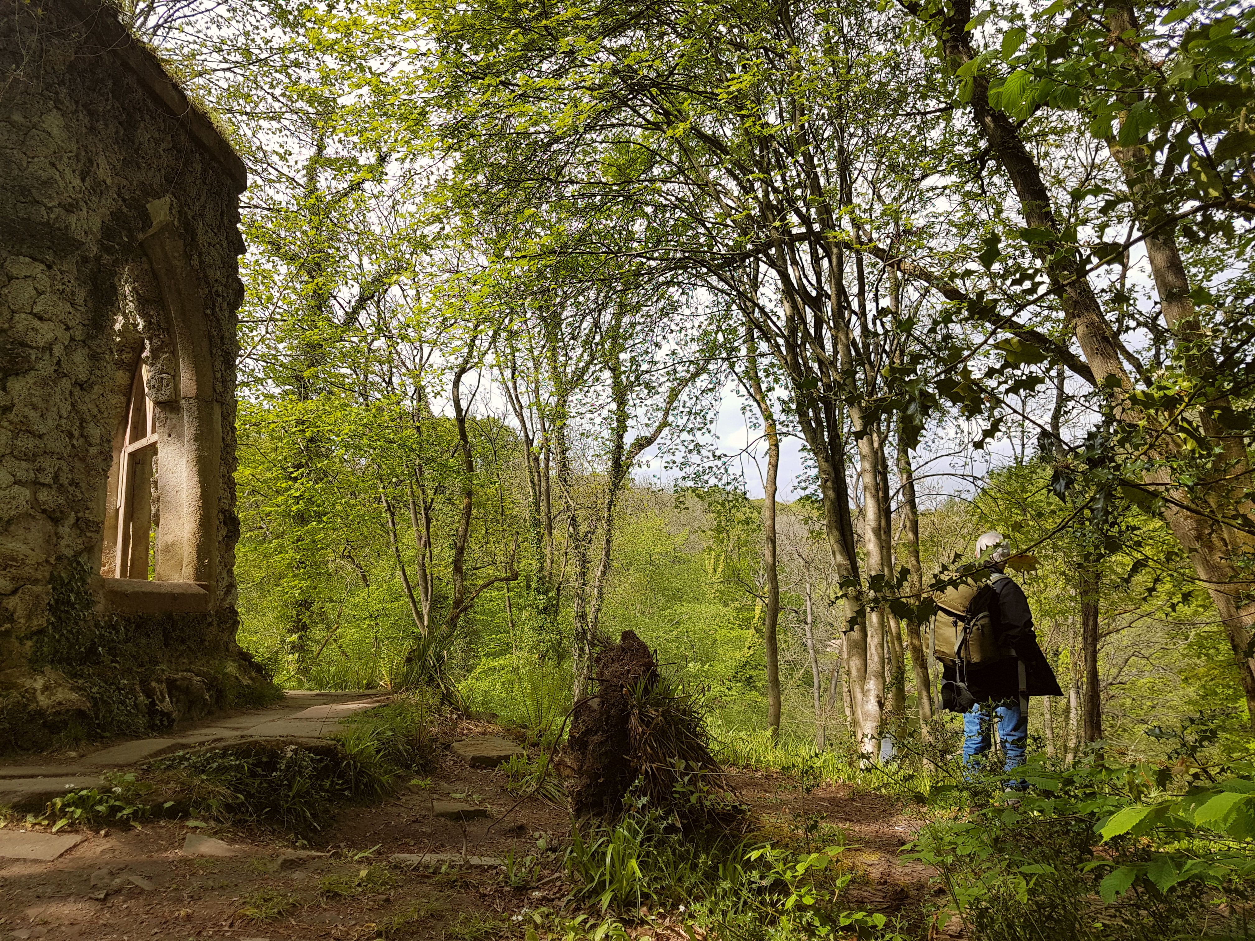
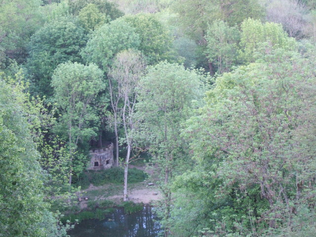
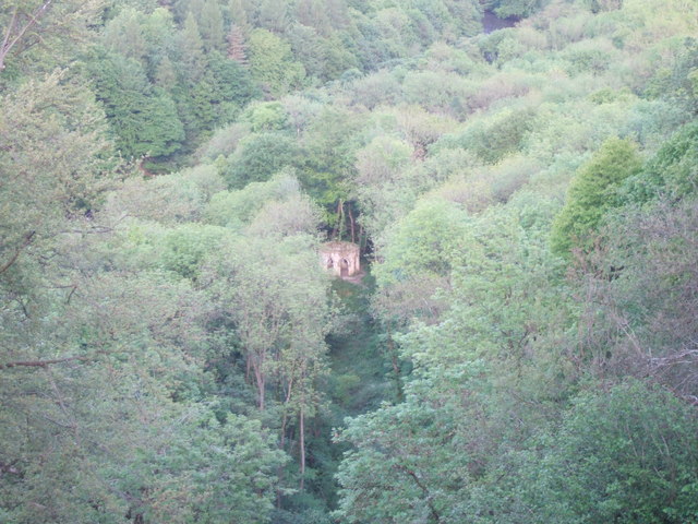
Hack Fall Wood
Hack Fall Wood, otherwise known as Hackfall, is a Site of Special Scientific Interest, or SSSI, of 44.8687 hectares (0.4487 km2; 0.1732 sq mi), lying north...

Swinton with Warthermarske
Swinton with Warthermarske is a civil parish in Harrogate district, North Yorkshire, England. The parish includes the village of Swinton and the hamlets...
Warthermarske
Warthermarske is a hamlet in the Harrogate borough of North Yorkshire, England. It is near Swinton, about 1 mile (2 km) south-west of Masham. The village...
Swinton, Harrogate
Swinton is a small village in the Harrogate district of North Yorkshire, England. It is situated to the immediate south-west of Masham and separated from...

Swinton Estate
The Swinton Estate is a large privately owned estate in North Yorkshire, England. It comprises some 20,000 acres (8,100 ha) of countryside in the Nidderdale...

Kirkby Malzeard
Kirkby Malzeard () is a village and civil parish in the Harrogate district of North Yorkshire, England. There has been a creamery in the village making...
Mickley, North Yorkshire
Mickley is a village in the Harrogate District of North Yorkshire, England. The village is on the south bank of the River Ure between Masham and West Tanfield...
Nearby Amenities
Located within 500m of 54.192153,-1.6594395Have you been to Camp Hill?
Leave your review of Camp Hill below (or comments, questions and feedback).