Cockshot Wood
Wood, Forest in Durham
England
Cockshot Wood
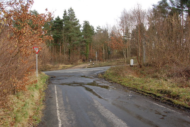
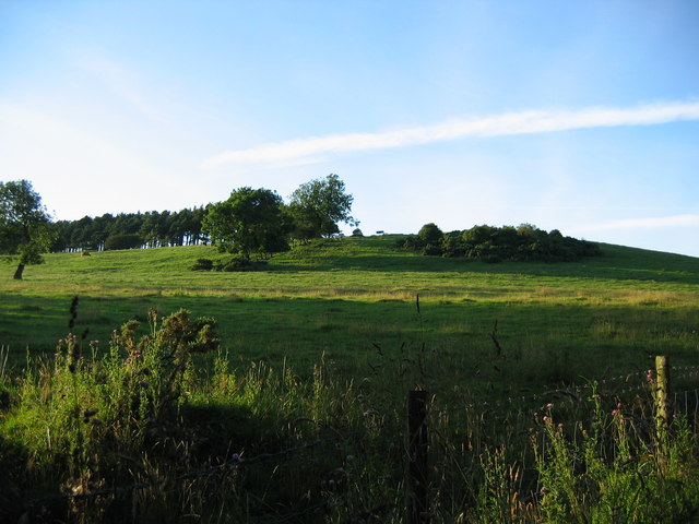
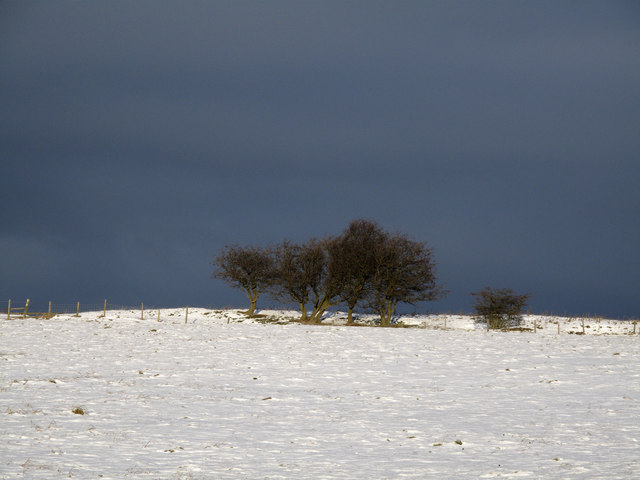
Cockshot Wood is a picturesque woodland located in Durham, England. Spread across an area of approximately 200 acres, it is a popular destination for nature enthusiasts and those seeking tranquility away from the bustling city life. The wood is situated near the village of Cockshot, hence its name.
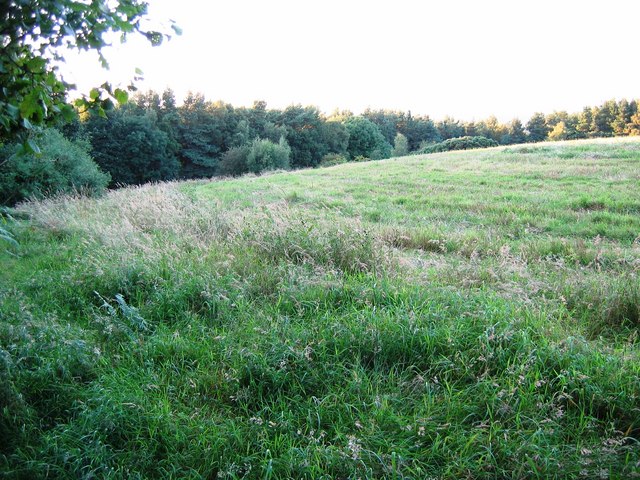
The woodland is predominantly made up of a mix of deciduous and coniferous trees, creating a diverse and vibrant ecosystem. Visitors to Cockshot Wood can expect to encounter native species such as oak, beech, birch, and pine, which provide a rich habitat for a wide variety of wildlife.
As one explores the wood, they will come across well-maintained footpaths that meander through the dense vegetation, allowing for pleasant walks and opportunities to discover the natural beauty of the area. The woodland floor is often carpeted with an array of wildflowers during the spring and summer months, adding a burst of color to the surroundings.
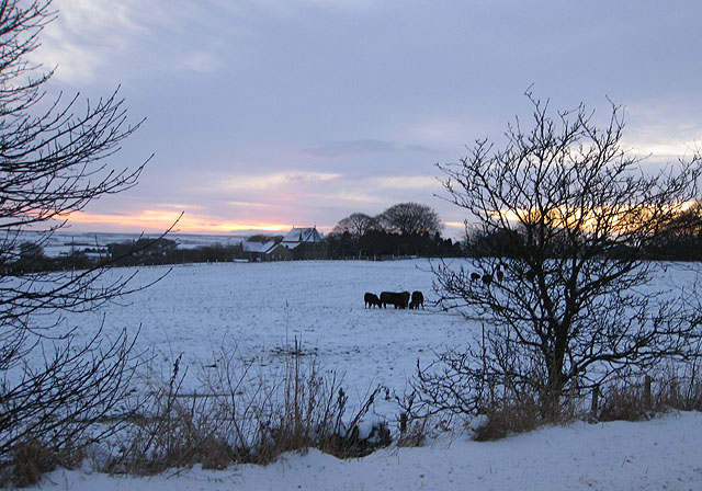
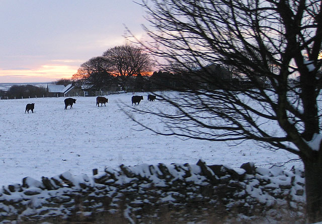
Cockshot Wood is also home to a variety of bird species, including woodpeckers, owls, and various songbirds, making it a favorite spot for birdwatchers. Additionally, the wood provides shelter for small mammals like squirrels, foxes, and rabbits.
With its peaceful ambiance and abundant natural beauty, Cockshot Wood offers a refreshing escape for individuals seeking a connection with nature. Whether it's for a leisurely stroll, wildlife spotting, or simply unwinding amidst the serene surroundings, Cockshot Wood is a cherished gem in the Durham countryside.
If you have any feedback on the listing, please let us know in the comments section below.
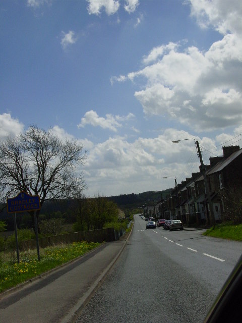
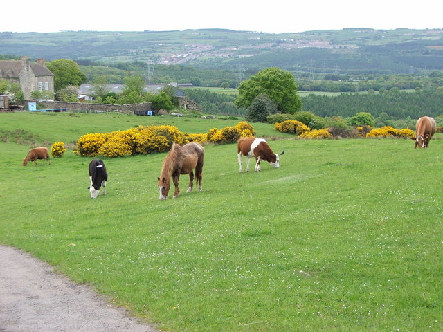
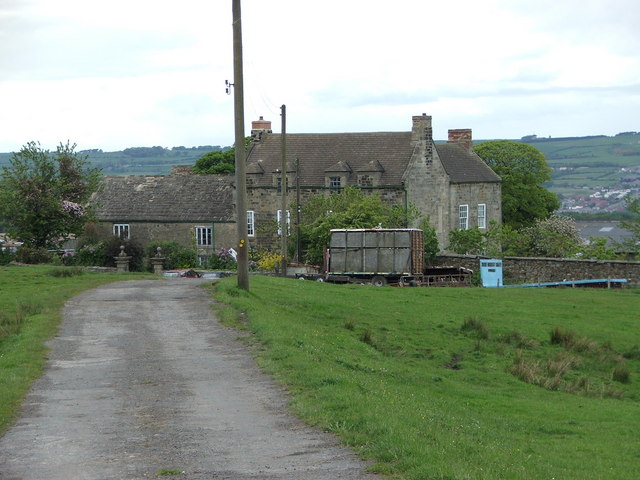
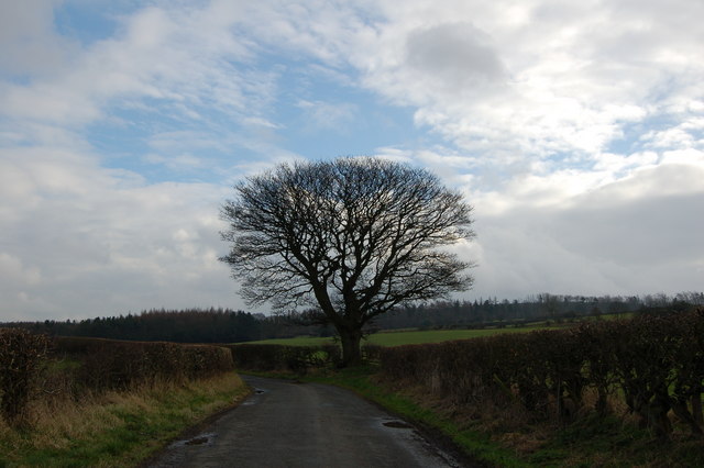
Cockshot Wood Images
Images are sourced within 2km of 54.882085/-1.7953799 or Grid Reference NZ1354. Thanks to Geograph Open Source API. All images are credited.


Cockshot Wood is located at Grid Ref: NZ1354 (Lat: 54.882085, Lng: -1.7953799)
Unitary Authority: County Durham
Police Authority: Durham
What 3 Words
///fastening.ruffle.serious. Near Consett, Co. Durham
Nearby Locations
Related Wikis

Medomsley
Medomsley is a village in County Durham, England. It is about 2 miles (3 km) northeast of the centre of Consett, 1+1⁄2 miles (2 km) south of Hamsterley...
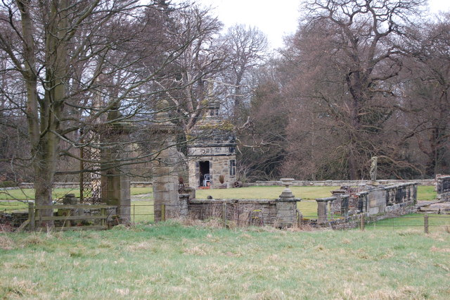
Hamsterley Hall
Hamsterley Hall is an 18th-century English country house at Hamsterley, Rowlands Gill, County Durham, England. It is a Grade II* listed building. The estate...
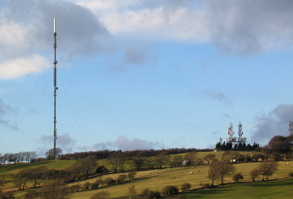
Pontop Pike transmitting station
The Pontop Pike transmitting station is a facility for telecommunications and broadcasting situated on a 312-metre (1,024-ft) high hill of the same name...

High Westwood
High Westwood is an English village in County Durham, a few miles to the north of Consett, near Ebchester and Hamsterley. It once had a colliery and coke...

Derwentcote Steel Furnace
Derwentcote Steel Furnace (grid reference NZ131566), Rowlands Gill, near Newcastle upon Tyne, England, built in 1720, is an example of an early cementation...
Hamsterley Mill
Hamsterley Mill is a village in County Durham, around 3 miles from Burnopfield and approximately the same distance from Consett.

Ebchester
Ebchester is a village in County Durham, England. It is situated to the north of Consett and to the south east of Whittonstall and the hamlet of Newlands...
Leadgate railway station
Leadgate railway station served the village of Leadgate, County Durham, England, from 1896 to 1964 on the Stanhope and Tyne Railway. == History == The...
Nearby Amenities
Located within 500m of 54.882085,-1.7953799Have you been to Cockshot Wood?
Leave your review of Cockshot Wood below (or comments, questions and feedback).