Hollin Hill
Hill, Mountain in Durham
England
Hollin Hill
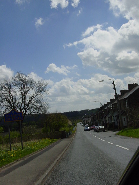
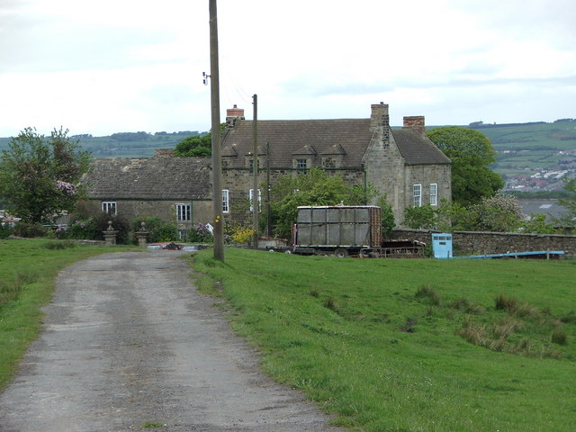
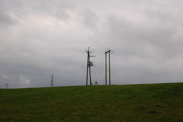
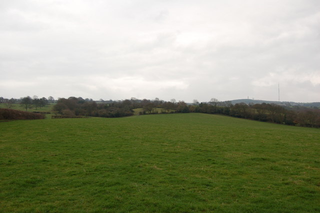
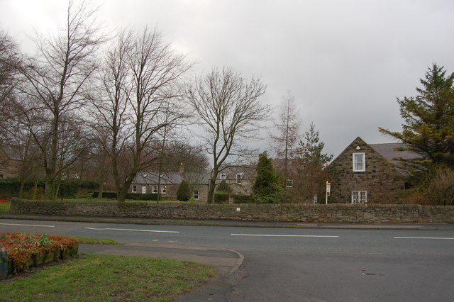
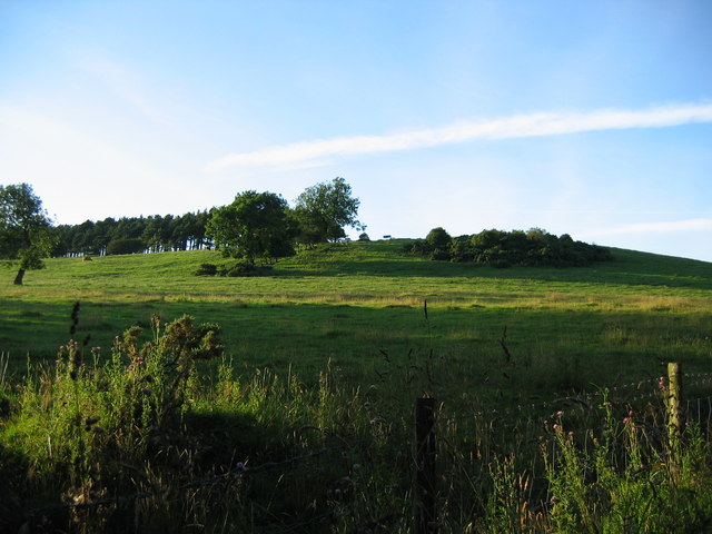
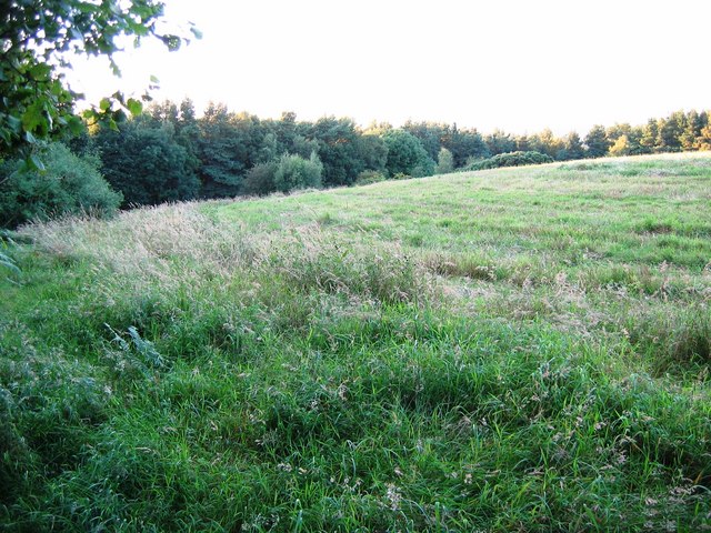
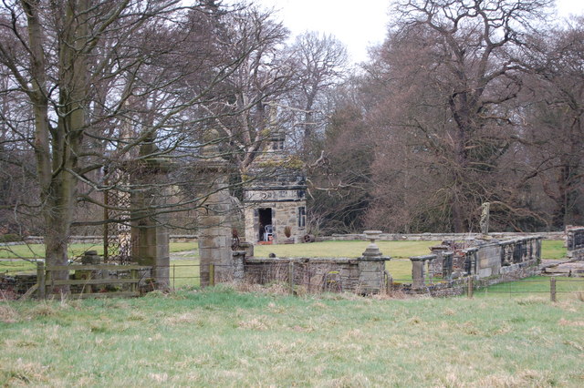
Hollin Hill, located in Durham, England, is a prominent hill that stands at an elevation of approximately 160 meters above sea level. Situated in the beautiful countryside of County Durham, it offers breathtaking views of the surrounding landscape. The hill is known for its lush greenery, with various species of trees and plants dotting its slopes, creating a picturesque and tranquil setting.
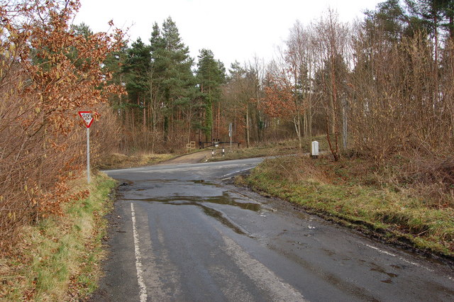
Hollin Hill is a popular destination for nature lovers and outdoor enthusiasts. Its well-maintained footpaths and trails provide excellent opportunities for walking, hiking, and exploring the area's natural beauty. As visitors ascend the hill, they can admire the panoramic vistas of the surrounding countryside, including the nearby River Wear and the historic city of Durham.
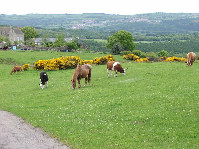
The hill is home to a diverse range of wildlife, with an abundance of bird species, including owls, woodpeckers, and warblers. Small mammals such as rabbits and squirrels can also be spotted in the area. Furthermore, Hollin Hill is known for its rich biodiversity, with an array of wildflowers blooming in the spring and summer months.
The tranquility and serenity of Hollin Hill make it an ideal spot for picnics and relaxation. Many visitors enjoy taking a break and immersing themselves in the peaceful atmosphere while enjoying a packed lunch or simply basking in the natural surroundings.
In conclusion, Hollin Hill in Durham is a stunning natural landmark, offering visitors a chance to connect with nature, enjoy panoramic views, and experience the beauty of the English countryside.
If you have any feedback on the listing, please let us know in the comments section below.
Hollin Hill Images
Images are sourced within 2km of 54.882207/-1.7930257 or Grid Reference NZ1354. Thanks to Geograph Open Source API. All images are credited.


Hollin Hill is located at Grid Ref: NZ1354 (Lat: 54.882207, Lng: -1.7930257)
Unitary Authority: County Durham
Police Authority: Durham
What 3 Words
///debt.bibs.unscrew. Near Consett, Co. Durham
Nearby Locations
Related Wikis

Medomsley
Medomsley is a village in County Durham, England. It is about 2 miles (3 km) northeast of the centre of Consett, 1+1⁄2 miles (2 km) south of Hamsterley...
Hamsterley Hall
Hamsterley Hall is an 18th-century English country house at Hamsterley, Rowlands Gill, County Durham, England. It is a Grade II* listed building. The estate...
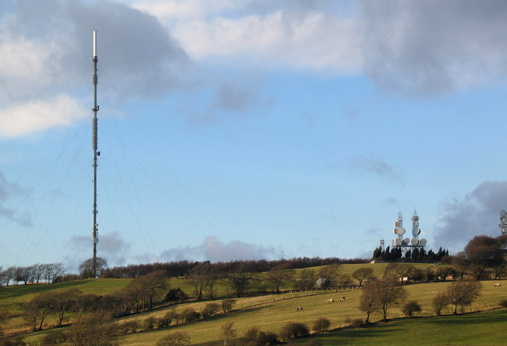
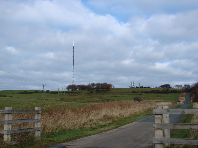
Pontop Pike transmitting station
The Pontop Pike transmitting station is a facility for telecommunications and broadcasting situated on a 312-metre (1,024-ft) high hill of the same name...

Hamsterley Mill
Hamsterley Mill is a village in County Durham, around 3 miles from Burnopfield and approximately the same distance from Consett.

Derwentcote Steel Furnace
Derwentcote Steel Furnace (grid reference NZ131566), Rowlands Gill, near Newcastle upon Tyne, England, built in 1720, is an example of an early cementation...
High Westwood
High Westwood is an English village in County Durham, a few miles to the north of Consett, near Ebchester and Hamsterley. It once had a colliery and coke...
Leadgate railway station
Leadgate railway station served the village of Leadgate, County Durham, England, from 1896 to 1964 on the Stanhope and Tyne Railway. == History == The...
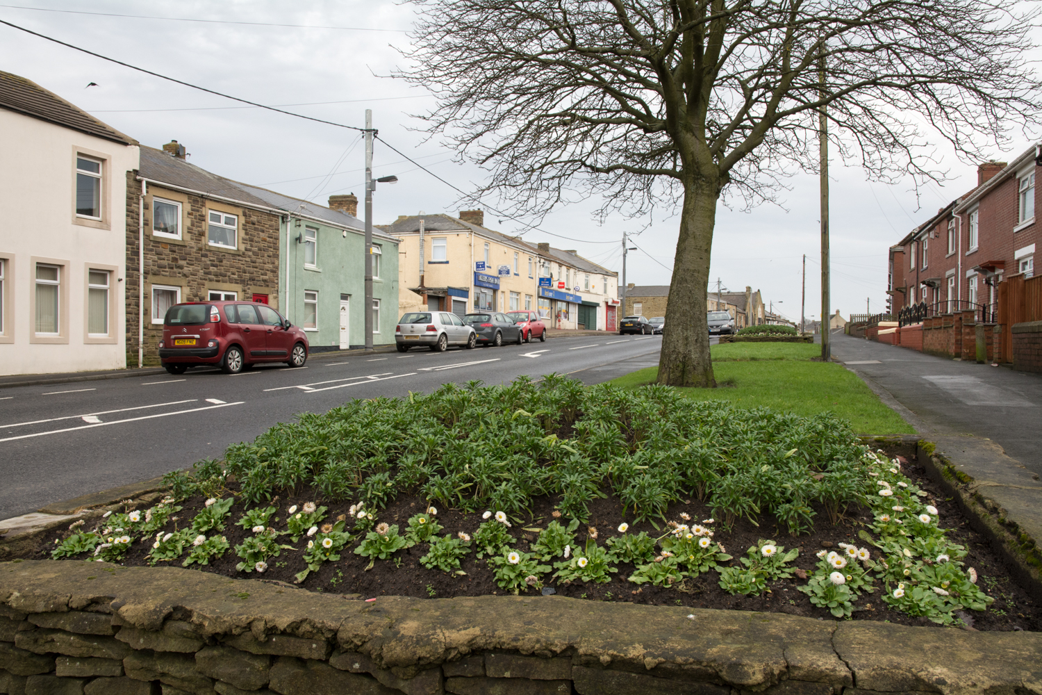
Leadgate, County Durham
Leadgate is a village in County Durham, in England. It is situated to the north-east of Consett. The Roman road Dere Street runs straight through the middle...
Nearby Amenities
Located within 500m of 54.882207,-1.7930257Have you been to Hollin Hill?
Leave your review of Hollin Hill below (or comments, questions and feedback).