Southfield Wood
Wood, Forest in Durham
England
Southfield Wood
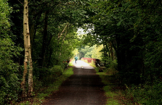
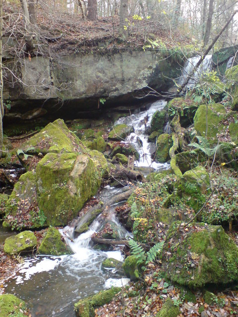
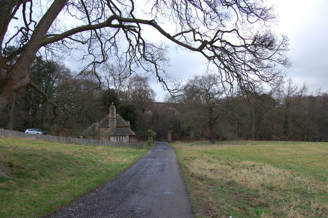
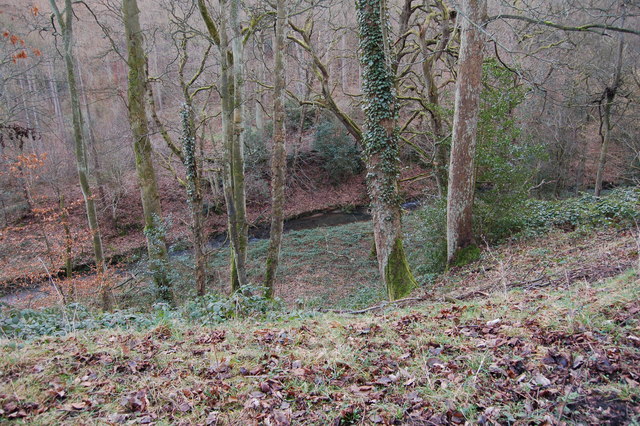
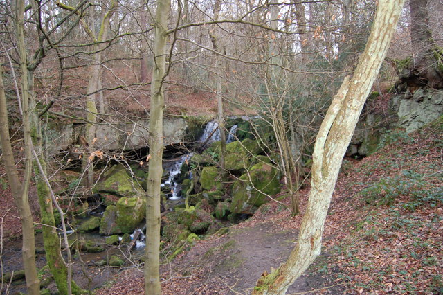
Southfield Wood is a picturesque woodland located in Durham, England. Stretching over an expansive area, the wood is known for its lush greenery and diverse range of flora and fauna. With its tranquil atmosphere and natural beauty, it has become a popular destination for nature lovers and outdoor enthusiasts.
The wood is home to a variety of tree species, including oak, beech, and birch, which create a dense canopy overhead, providing shade and shelter for the woodland floor. Bluebells, ferns, and wildflowers can be found scattered throughout, adding bursts of color to the landscape.
Southfield Wood is also known for its diverse wildlife. Visitors may spot several bird species, such as woodpeckers, owls, and thrushes, as they fly through the treetops. Squirrels, rabbits, and even the occasional deer can also be spotted among the woodland foliage.
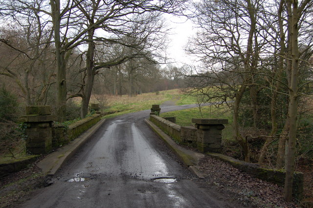
The wood offers a network of paths and trails, allowing visitors to explore its natural wonders. These paths are well-maintained and suitable for walking, jogging, or cycling. Along the way, benches and picnic spots can be found, providing opportunities for visitors to relax and enjoy the peaceful surroundings.
Southfield Wood is easily accessible, located near the town of Durham. It provides a welcome escape from the hustle and bustle of urban life, offering visitors a chance to reconnect with nature and enjoy the tranquility of the woodland environment.
If you have any feedback on the listing, please let us know in the comments section below.
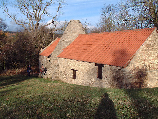
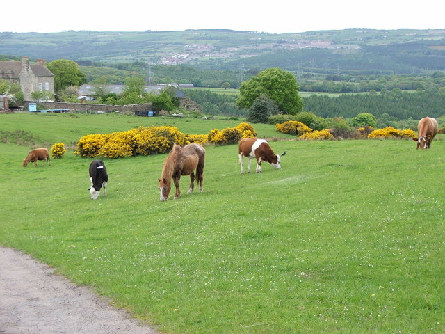
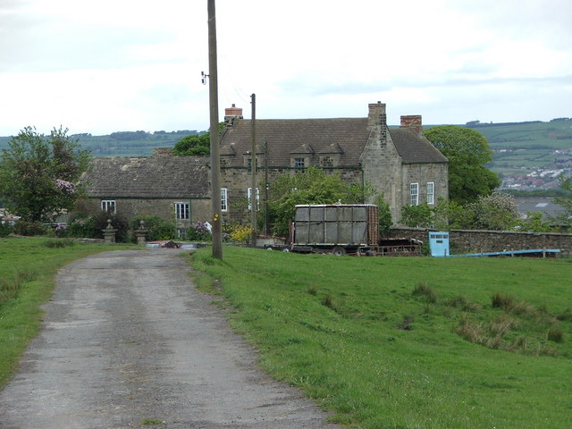
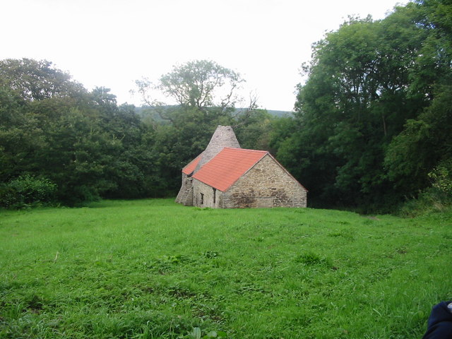
Southfield Wood Images
Images are sourced within 2km of 54.888801/-1.7868342 or Grid Reference NZ1354. Thanks to Geograph Open Source API. All images are credited.


Southfield Wood is located at Grid Ref: NZ1354 (Lat: 54.888801, Lng: -1.7868342)
Unitary Authority: County Durham
Police Authority: Durham
What 3 Words
///logged.oasis.circus. Near Chopwell, Tyne & Wear
Nearby Locations
Related Wikis
Hamsterley Hall
Hamsterley Hall is an 18th-century English country house at Hamsterley, Rowlands Gill, County Durham, England. It is a Grade II* listed building. The estate...

Hamsterley Mill
Hamsterley Mill is a village in County Durham, around 3 miles from Burnopfield and approximately the same distance from Consett.

Derwentcote Steel Furnace
Derwentcote Steel Furnace (grid reference NZ131566), Rowlands Gill, near Newcastle upon Tyne, England, built in 1720, is an example of an early cementation...

Medomsley
Medomsley is a village in County Durham, England. It is about 2 miles (3 km) northeast of the centre of Consett, 1+1⁄2 miles (2 km) south of Hamsterley...

Lintz Green railway station
Lintz Green Railway Station was on the Derwent Valley Railway Branch of the North Eastern Railway near Consett, County Durham, England. The railway station...
High Westwood
High Westwood is an English village in County Durham, a few miles to the north of Consett, near Ebchester and Hamsterley. It once had a colliery and coke...
Hamsterley, Consett
Hamsterley is a village in County Durham, England. It is situated to the north of Consett and borders the hamlet of Low Westwood. == Colliery == It was...
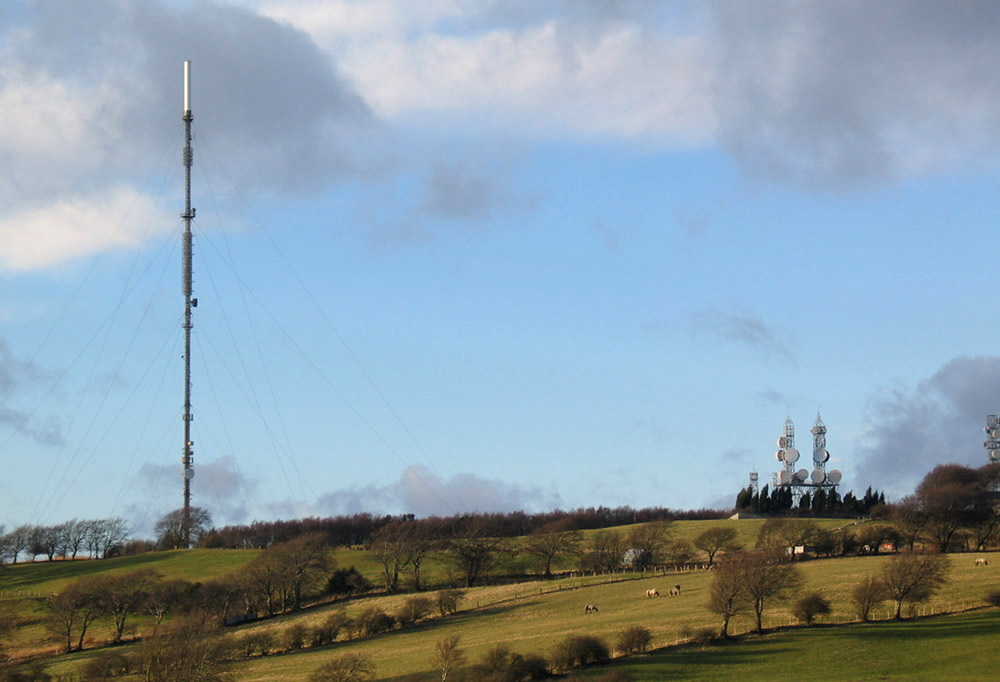
Pontop Pike transmitting station
The Pontop Pike transmitting station is a facility for telecommunications and broadcasting situated on a 312-metre (1,024-ft) high hill of the same name...
Nearby Amenities
Located within 500m of 54.888801,-1.7868342Have you been to Southfield Wood?
Leave your review of Southfield Wood below (or comments, questions and feedback).