Shipmaster's Hill
Hill, Mountain in Durham
England
Shipmaster's Hill
Shipmaster's Hill is a notable hill located in Durham, a historic city in northeast England. Situated in the eastern part of the city, it stands at an elevation of approximately 183 meters (600 feet) above sea level, making it one of the prominent natural landmarks in the area. The hill is part of the larger landscape known as the Durham Plateau, which encompasses other nearby hills and ridges.
Shipmaster's Hill derives its name from its historical association with the maritime trade that flourished in Durham during the medieval period. It is believed that ship captains and masters used the hill as a vantage point to spot incoming vessels sailing along the River Wear, which flows through Durham.
The hill offers breathtaking panoramic views of the surrounding countryside, including the city's skyline, the winding River Wear, and the picturesque landscape beyond. Its elevated position also makes it a popular spot for outdoor enthusiasts, hikers, and nature lovers who seek to explore the natural beauty of Durham.
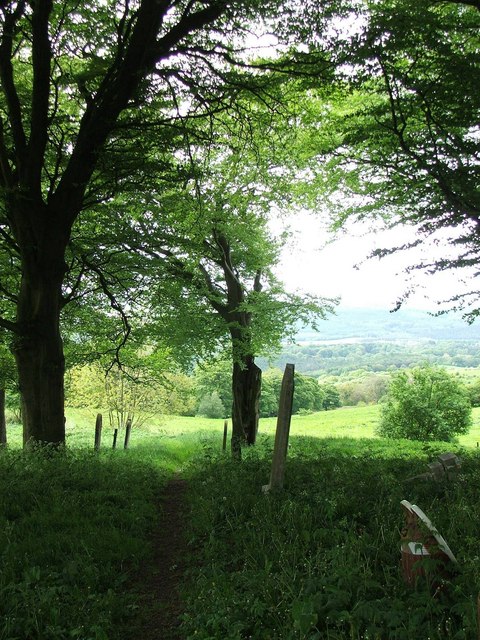
Shipmaster's Hill is easily accessible, with various footpaths and trails leading to its summit. These routes wind through lush green fields, woodlands, and meadows, adding to the charm of the journey. The hill's location in close proximity to Durham City provides visitors with a convenient opportunity to combine a visit to this natural landmark with the exploration of the city's rich historical and cultural heritage.
Overall, Shipmaster's Hill stands as a testament to Durham's connection with its maritime past, while also offering a serene and scenic escape for those seeking to immerse themselves in nature's beauty.
If you have any feedback on the listing, please let us know in the comments section below.
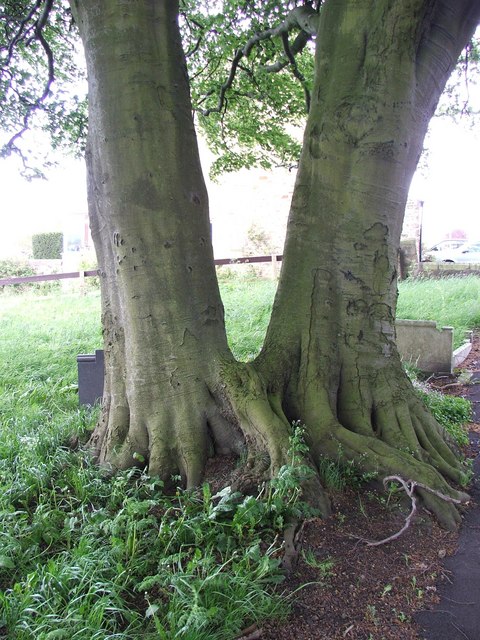
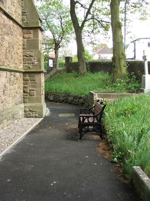
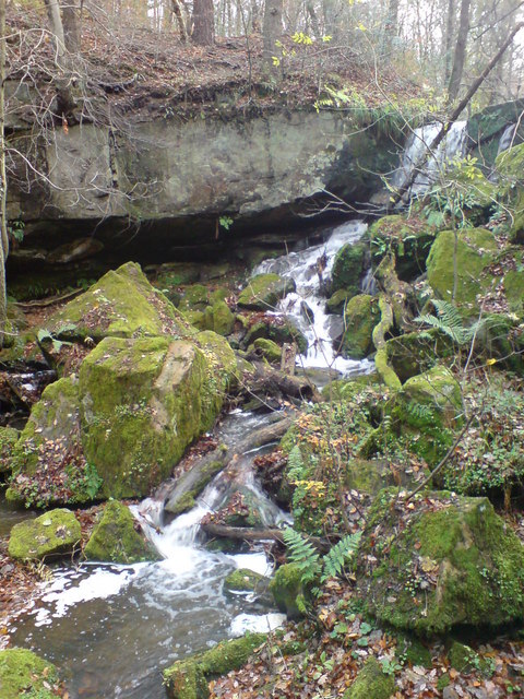
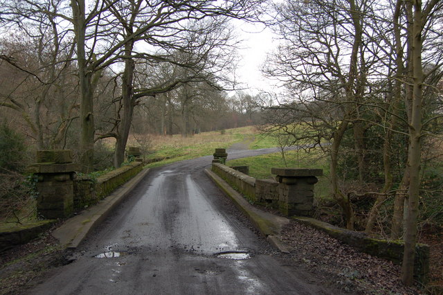
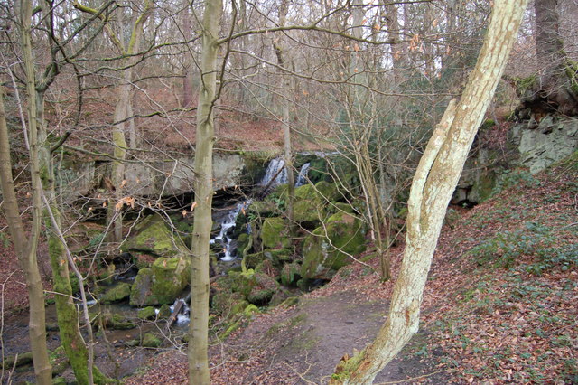
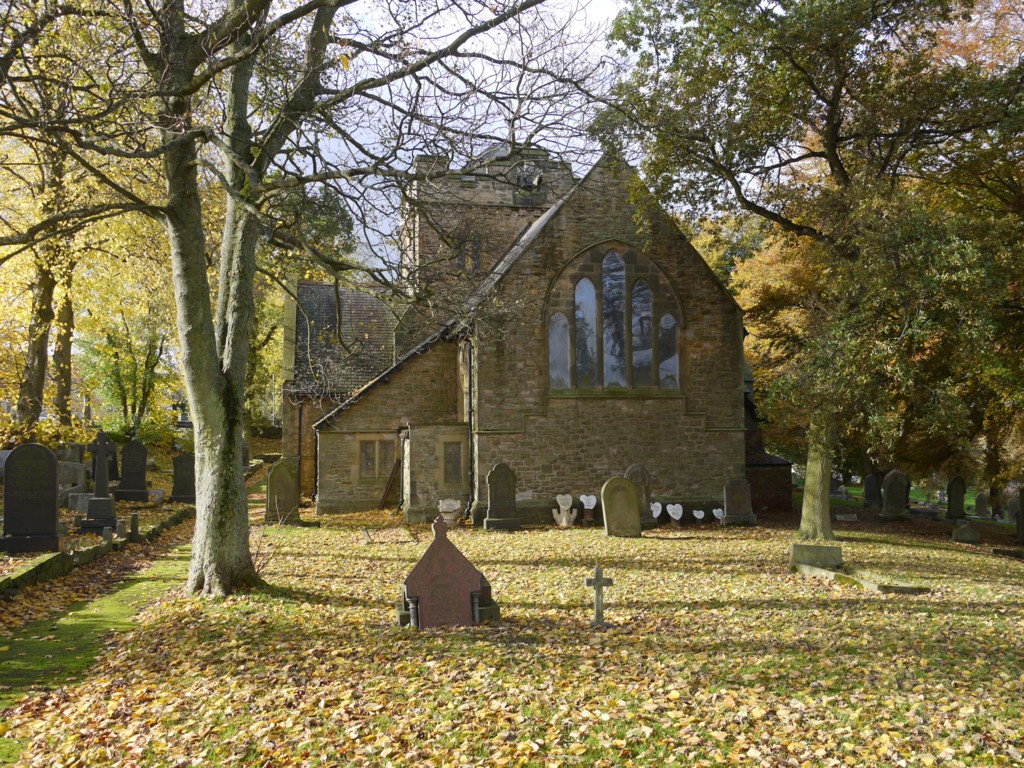
Shipmaster's Hill Images
Images are sourced within 2km of 54.882748/-1.7838735 or Grid Reference NZ1354. Thanks to Geograph Open Source API. All images are credited.


Shipmaster's Hill is located at Grid Ref: NZ1354 (Lat: 54.882748, Lng: -1.7838735)
Unitary Authority: County Durham
Police Authority: Durham
What 3 Words
///inflating.earmarked.noting. Near Annfield Plain, Co. Durham
Nearby Locations
Related Wikis
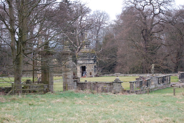
Hamsterley Hall
Hamsterley Hall is an 18th-century English country house at Hamsterley, Rowlands Gill, County Durham, England. It is a Grade II* listed building. The estate...
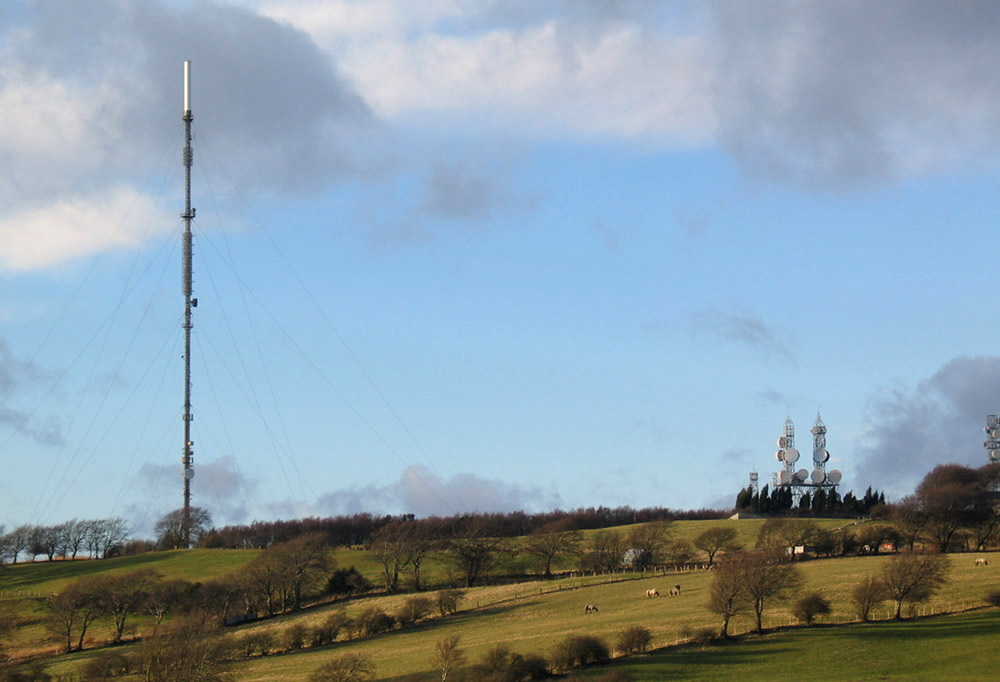
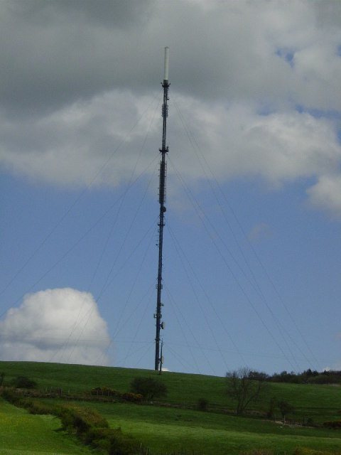
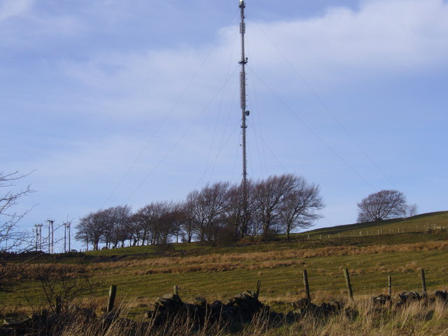
Pontop Pike transmitting station
The Pontop Pike transmitting station is a facility for telecommunications and broadcasting situated on a 312-metre (1,024-ft) high hill of the same name...

Medomsley
Medomsley is a village in County Durham, England. It is about 2 miles (3 km) northeast of the centre of Consett, 1+1⁄2 miles (2 km) south of Hamsterley...

Hamsterley Mill
Hamsterley Mill is a village in County Durham, around 3 miles from Burnopfield and approximately the same distance from Consett.
Dipton, County Durham
Dipton is a village located in County Durham, England. It is situated to the north-east of Consett, 3 miles south west of Burnopfield and a short distance...
Hill Top, Stanley
Hill Top is a village in County Durham, England. It is situated to the west of Tantobie, near Stanley. == References ==

Derwentside
Derwentside was, from 1974 to 2009, a local government district in County Durham, England. The district took its name from the River Derwent, which made...
Flint Hill, County Durham
Flint Hill is a small village in County Durham, in England. It is situated to the north of Annfield Plain. == References ==
Nearby Amenities
Located within 500m of 54.882748,-1.7838735Have you been to Shipmaster's Hill?
Leave your review of Shipmaster's Hill below (or comments, questions and feedback).