North Wood
Wood, Forest in Durham
England
North Wood
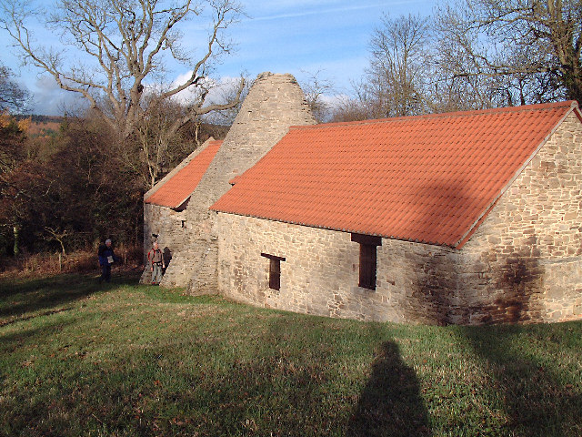
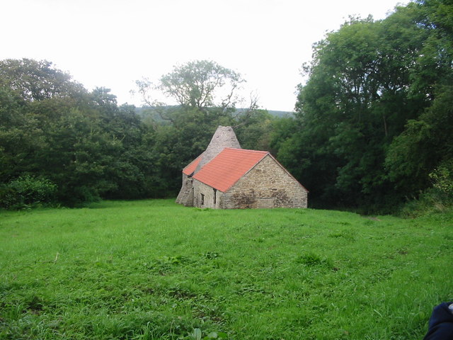
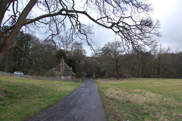
North Wood is a picturesque and tranquil woodland located in Durham, England. Situated in the northern part of the county, it is nestled within the larger area known as the Durham Dales. The wood is part of the larger North Pennines Area of Outstanding Natural Beauty, renowned for its stunning landscapes and diverse wildlife.
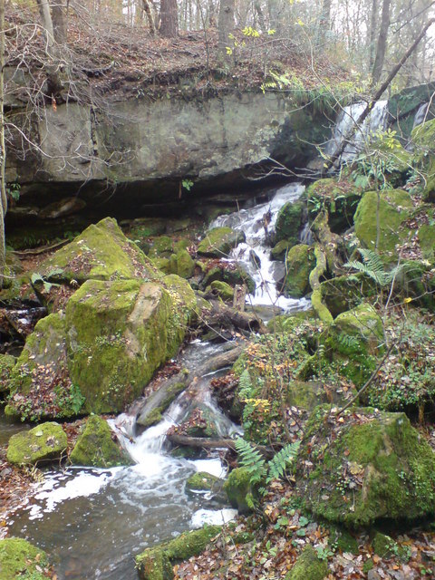
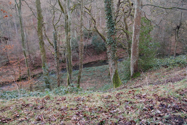
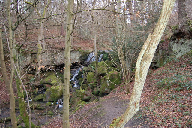
Covering an area of approximately 500 acres, North Wood is predominantly made up of ancient broadleaf trees, including oak, ash, and beech. These trees create a dense canopy that provides a haven for a wide variety of flora and fauna. The woodland floor is adorned with an array of wildflowers, such as bluebells, primroses, and wood anemones, which add bursts of color to the woodland landscape during springtime.
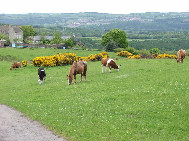
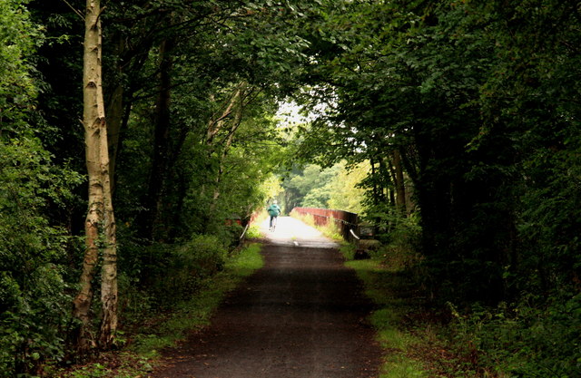
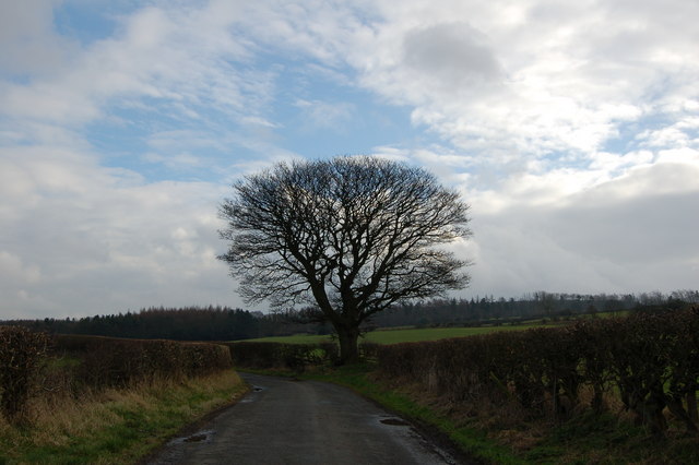
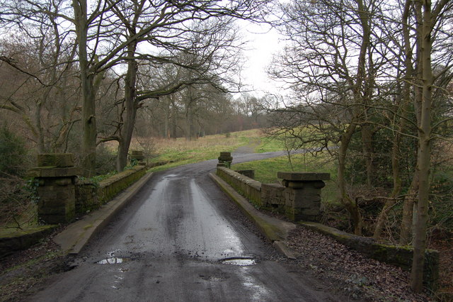
North Wood is crisscrossed by a network of well-maintained footpaths and trails, making it a popular destination for walkers, hikers, and nature enthusiasts. These paths lead visitors through the heart of the wood, allowing them to immerse themselves in its natural beauty. The wood also offers panoramic views of the surrounding countryside, including the nearby Durham Dales and the distant Pennine hills.
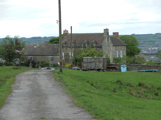
Aside from its natural beauty, North Wood also holds cultural and historical significance. It is home to various archaeological remains, including ancient settlements and burial mounds, which provide an insight into the area's past. Additionally, the wood has been used for centuries as a source of timber, contributing to the local economy and heritage.
Overall, North Wood is a captivating destination, offering a peaceful retreat for nature lovers and a glimpse into the rich history and biodiversity of Durham's woodlands.
If you have any feedback on the listing, please let us know in the comments section below.
North Wood Images
Images are sourced within 2km of 54.886993/-1.7905382 or Grid Reference NZ1354. Thanks to Geograph Open Source API. All images are credited.


North Wood is located at Grid Ref: NZ1354 (Lat: 54.886993, Lng: -1.7905382)
Unitary Authority: County Durham
Police Authority: Durham
What 3 Words
///plunger.lots.joyously. Near Chopwell, Tyne & Wear
Nearby Locations
Related Wikis
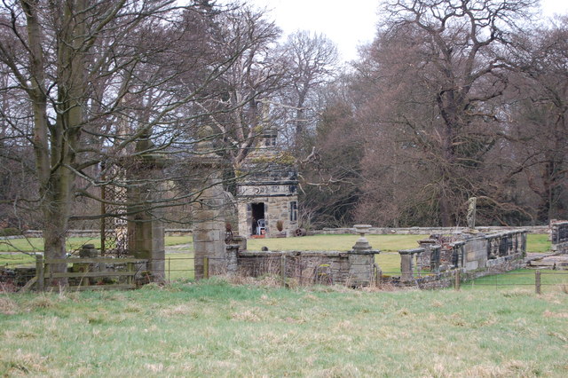
Hamsterley Hall
Hamsterley Hall is an 18th-century English country house at Hamsterley, Rowlands Gill, County Durham, England. It is a Grade II* listed building. The estate...

Medomsley
Medomsley is a village in County Durham, England. It is about 2 miles (3 km) northeast of the centre of Consett, 1+1⁄2 miles (2 km) south of Hamsterley...

Hamsterley Mill
Hamsterley Mill is a village in County Durham, around 3 miles from Burnopfield and approximately the same distance from Consett.

Derwentcote Steel Furnace
Derwentcote Steel Furnace (grid reference NZ131566), Rowlands Gill, near Newcastle upon Tyne, England, built in 1720, is an example of an early cementation...
High Westwood
High Westwood is an English village in County Durham, a few miles to the north of Consett, near Ebchester and Hamsterley. It once had a colliery and coke...
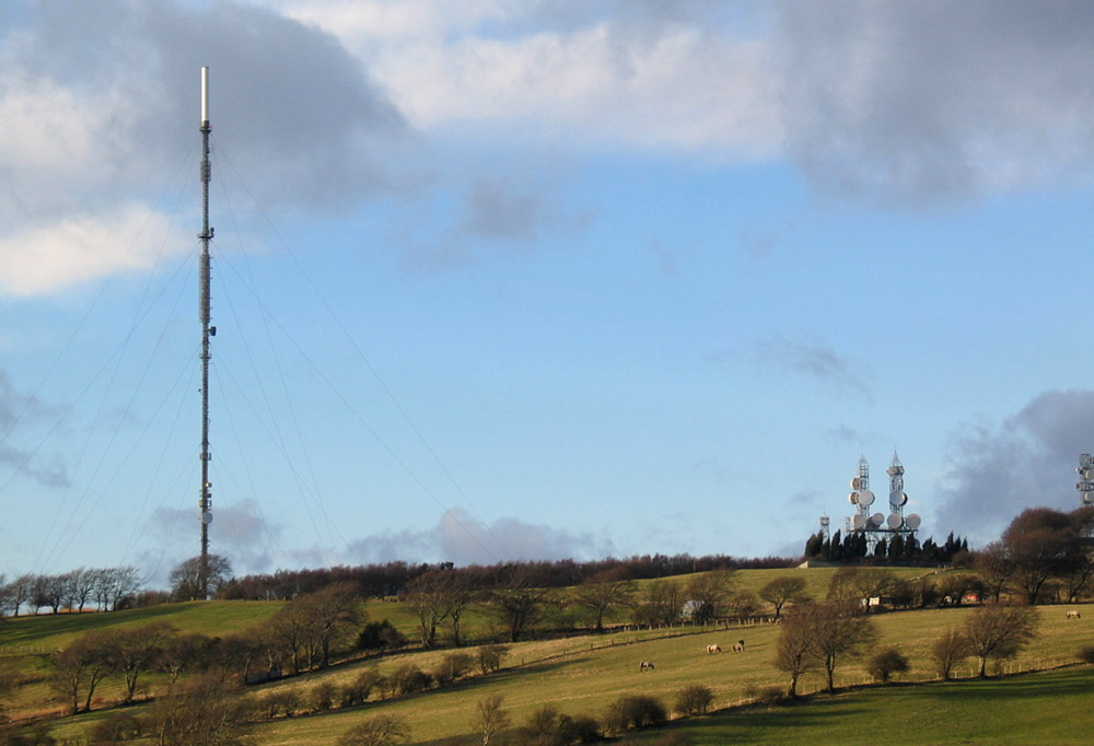
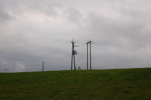
Pontop Pike transmitting station
The Pontop Pike transmitting station is a facility for telecommunications and broadcasting situated on a 312-metre (1,024-ft) high hill of the same name...
Hamsterley, Consett
Hamsterley is a village in County Durham, England. It is situated to the north of Consett and borders the hamlet of Low Westwood. == Colliery == It was...
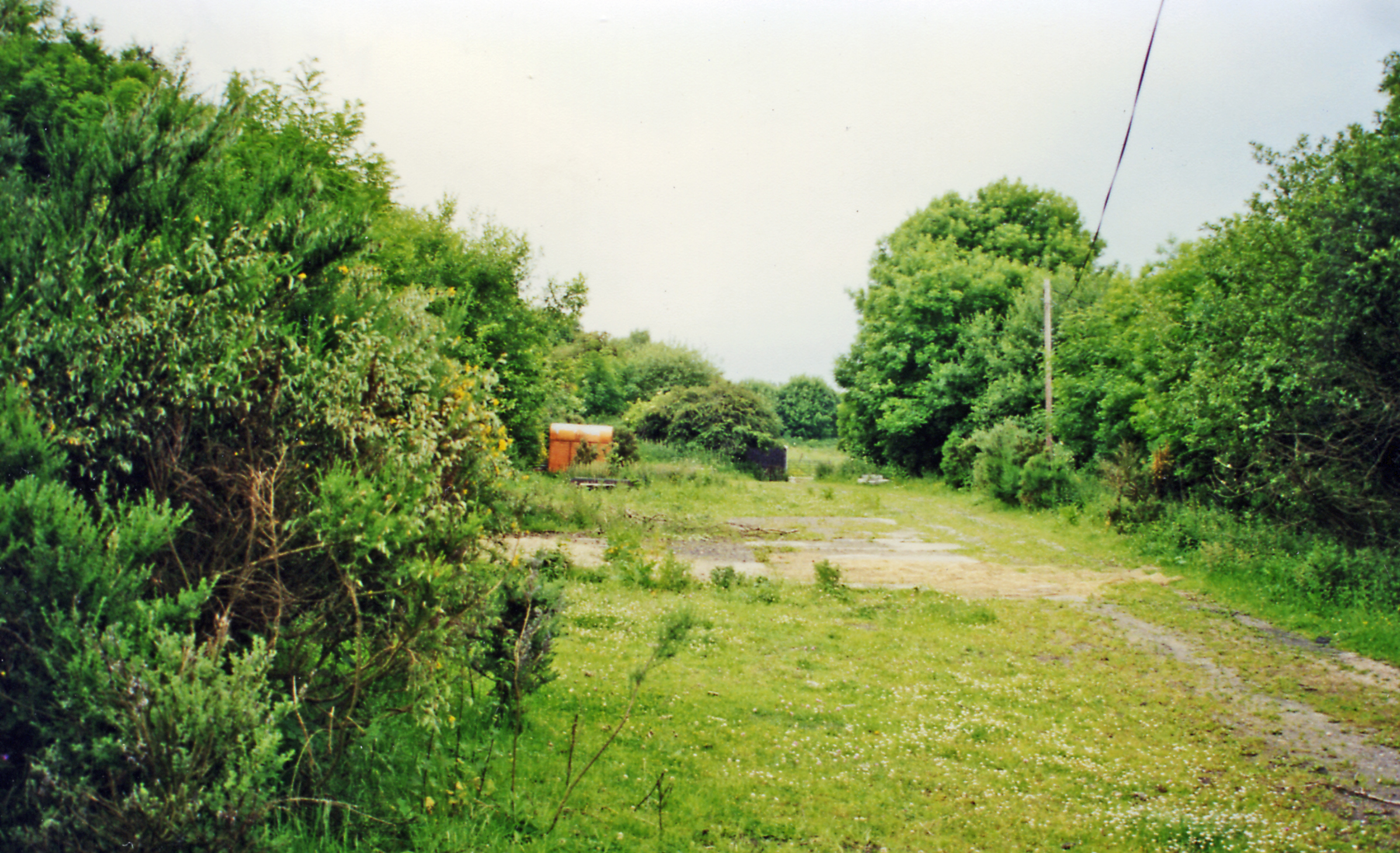
High Westwood railway station
High Westwood railway station served the village of High Westwood, County Durham, England from 1909 to 1942 on the Derwent Valley Railway. == History... ==
Nearby Amenities
Located within 500m of 54.886993,-1.7905382Have you been to North Wood?
Leave your review of North Wood below (or comments, questions and feedback).