Anniversary Plantation

Wood, Forest in Wiltshire

England

Anniversary Plantation

Oilseed rape near Figheldean The crop (Brassica napus) is probably autumn-sown. It is flowering a little later than normal this year it seems. It hasn't yet reached the eye-watering yellow that the crop achieved about this time of year not far away four years ago <a href="https://www.geograph.org.uk/photo/402728">SU2859 : Oilseed rape field, Marten, Wiltshire</a> The farm buildings in the distance are unnamed on the maps and are in <a href="https://www.geograph.org.uk/gridref/SU1446">SU1446</a>.
Oilseed rape near Figheldean Credit: Brian Robert Marshall

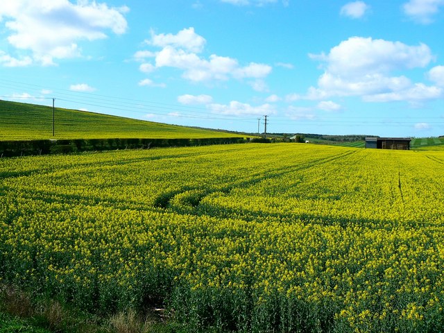
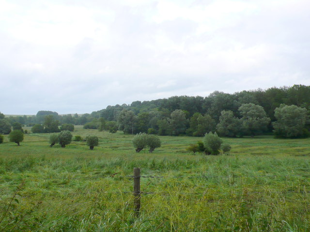
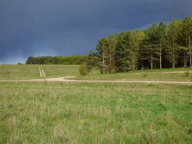
Anniversary Plantation, located in Wiltshire, is a picturesque woodland area renowned for its lush greenery and serene surroundings. This stunning plantation covers a vast expanse of land and is often referred to as a forest due to its dense population of trees and abundant wildlife.

The plantation gets its name from a historic event that took place on its grounds. In the late 19th century, a noble family decided to commemorate their 50th wedding anniversary by planting a variety of tree species, creating what is now known as Anniversary Plantation. The dedication and care put into the plantation can be seen through the well-maintained pathways, which allow visitors to explore its enchanting beauty.

The woodland is home to a diverse range of tree species, including oak, beech, birch, and pine, creating a vibrant and colorful backdrop throughout the year. The plantation is carefully managed to ensure the preservation of its natural beauty, with regular maintenance and conservation efforts taking place.

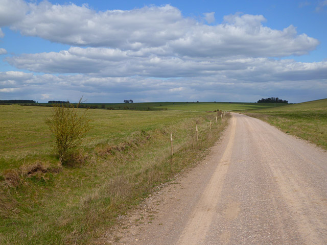
Visitors to Anniversary Plantation can enjoy a tranquil experience, surrounded by the sights and sounds of nature. The plantation provides a perfect setting for leisurely walks, picnics, and birdwatching, with an array of native and migratory birds frequenting the area. The plantation's serene atmosphere also makes it an ideal spot for those seeking solace and a peaceful escape from the bustling city life.

Overall, Anniversary Plantation in Wiltshire stands as a testament to the enduring beauty of nature, offering visitors a chance to immerse themselves in the tranquility of a well-preserved woodland paradise.

If you have any feedback on the listing, please let us know in the comments section below.

Anniversary Plantation Images

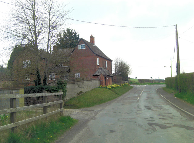
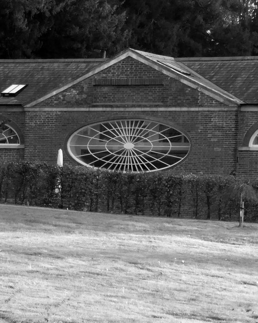
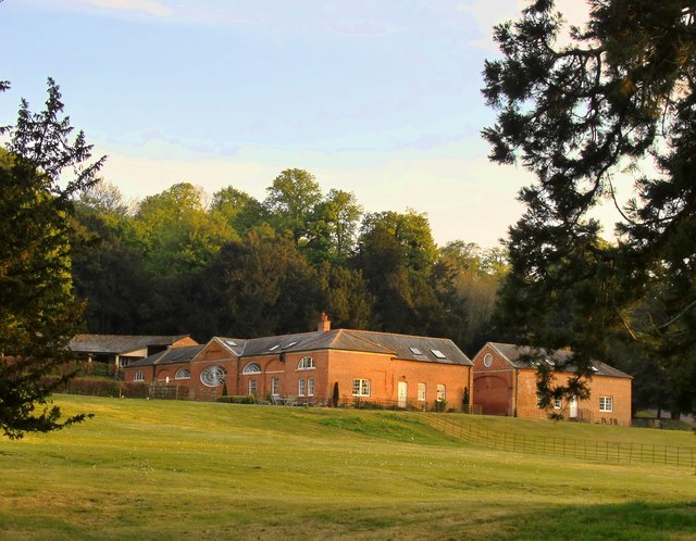
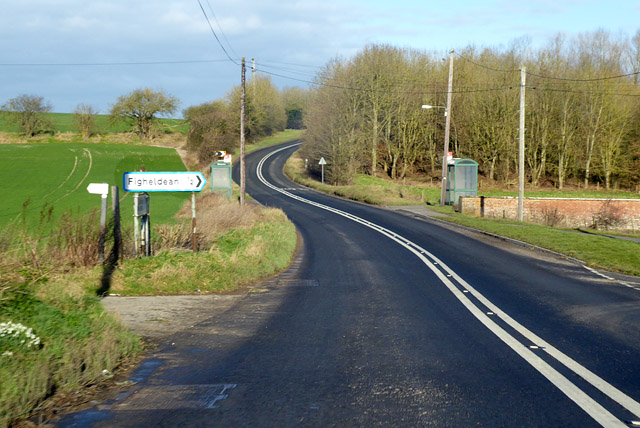
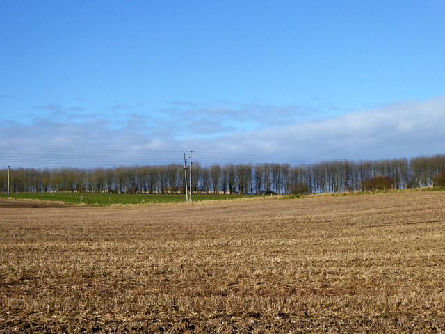
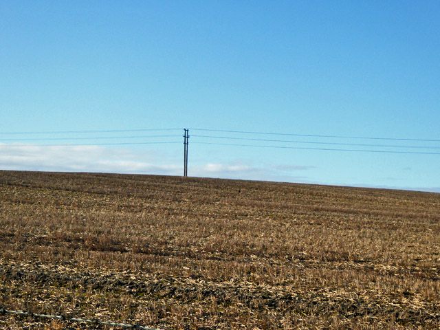
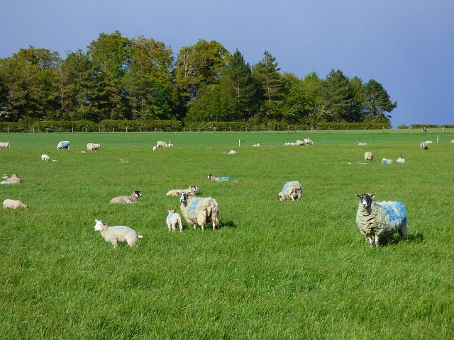
Images are sourced within 2km of 51.221757/-1.8119828 or Grid Reference SU1346. Thanks to Geograph Open Source API. All images are credited.

Oilseed rape near Figheldean The crop (Brassica napus) is probably autumn-sown. It is flowering a little later than normal this year it seems. It hasn't yet reached the eye-watering yellow that the crop achieved about this time of year not far away four years ago <a href="https://www.geograph.org.uk/photo/402728">SU2859 : Oilseed rape field, Marten, Wiltshire</a> The farm buildings in the distance are unnamed on the maps and are in <a href="https://www.geograph.org.uk/gridref/SU1446">SU1446</a>.
Oilseed rape near Figheldean
The crop (Brassica napus) is probably autumn-sown. It is flowering a little later than normal this year it seems. It hasn't yet reached the eye-watering yellow that the crop achieved about this time of year not far away four years ago SU2859 : Oilseed rape field, Marten, Wiltshire The farm buildings in the distance are unnamed on the maps and are in SU1446.
Figheldean: towards the church from across the Avon The small footbridge, across one of the two or three streams of the young Avon, carries a path which according to the map is a permissive path from this end, turning into an official public right of way towards the outher side. The church tower makes an appearance in the trees in the background.
Figheldean: towards the church from across the Avon
The small footbridge, across one of the two or three streams of the young Avon, carries a path which according to the map is a permissive path from this end, turning into an official public right of way towards the outher side. The church tower makes an appearance in the trees in the background.
Track and downland, Netheravon The junction of byways to the west of Wexland Farm.
Track and downland, Netheravon
The junction of byways to the west of Wexland Farm.
Track and downland, Netheravon A byway heading towards Netheravon from the Larkhill Ranges.
Track and downland, Netheravon
A byway heading towards Netheravon from the Larkhill Ranges.
Farmland and houses, Netheravon Looking towards Wexland Avenue from the road at Manor Farm.
Farmland and houses, Netheravon
Looking towards Wexland Avenue from the road at Manor Farm.
Alton Magna Farmhouse This is a Grade II listed farmhouse dating from the mid-18th C. It has English Heritage Building ID: 321471.
Alton Magna Farmhouse
This is a Grade II listed farmhouse dating from the mid-18th C. It has English Heritage Building ID: 321471.
The Avon Valley at Figheldean
Fields next to the Avon These marshy fields are in between the A345 and the River Avon which is hidden in the trees on the right of the image. This is on the opposite bank to Figheldean.
Fields next to the Avon
These marshy fields are in between the A345 and the River Avon which is hidden in the trees on the right of the image. This is on the opposite bank to Figheldean.
Pollard willows on the Avon floodplain near Figheldean The willows appear to be growing by a track that leads to a small bridge (out of frame to the right).

The photo was taken from a convenient lay-by on the A345 - as were some previous contributions for this grid-square.
Pollard willows on the Avon floodplain near Figheldean
The willows appear to be growing by a track that leads to a small bridge (out of frame to the right). The photo was taken from a convenient lay-by on the A345 - as were some previous contributions for this grid-square.
Stables at Netheravon House: window detail Zoom shot taken from the churchyard.
Stables at Netheravon House: window detail
Zoom shot taken from the churchyard.
Netheravon House: the stable block Zoom shot taken from the churchyard.

The stables seem very grand in scale, given the size of the house itself.  They are ranged around a large quadrangle, with the entrance on the north side (sunlit in this picture).

The east side (shaded in the picture) faces the house, and is a formal composition arranged around a singular and extravagant architectural feature <a title="https://www.geograph.org.uk/photo/5391077" href="https://www.geograph.org.uk/photo/5391077">Link</a> - plainly not intended for the benefit of the horses.  It seems very odd that all inspiration (it can't surely have been a question of funds?) ran out when it came to the north-facing entrance - not blessed with as much as an arch.  (Is there a grand entrance on the south side, perhaps?  I rather suspect so).

The Wiltshire volume of Pevsner dates the house to the late 18th century.  When the Army's Cavalry School relocated to Netheravon in the early 1900s, the house became the officers' mess.  I can't help wondering whether the availability of such sumptuous stable accommodation influenced the decision to move.

Current use of the stable block appears to be residential.
Netheravon House: the stable block
Zoom shot taken from the churchyard. The stables seem very grand in scale, given the size of the house itself. They are ranged around a large quadrangle, with the entrance on the north side (sunlit in this picture). The east side (shaded in the picture) faces the house, and is a formal composition arranged around a singular and extravagant architectural feature Link - plainly not intended for the benefit of the horses. It seems very odd that all inspiration (it can't surely have been a question of funds?) ran out when it came to the north-facing entrance - not blessed with as much as an arch. (Is there a grand entrance on the south side, perhaps? I rather suspect so). The Wiltshire volume of Pevsner dates the house to the late 18th century. When the Army's Cavalry School relocated to Netheravon in the early 1900s, the house became the officers' mess. I can't help wondering whether the availability of such sumptuous stable accommodation influenced the decision to move. Current use of the stable block appears to be residential.
A345 heading north, recently resurfaced Past the right turn for Figheldean.
A345 heading north, recently resurfaced
Past the right turn for Figheldean.
View over farmland to line of trees The trees appear to screen some sort of military installation.
View over farmland to line of trees
The trees appear to screen some sort of military installation.
Power line across brown field
Old Milestone on Great Lynch, Netheravon parish Carved stone post by the bridleway, in parish of NETHERAVON (KENNET District), Great Lynch, on Easternmost (sunken) of 3 parallel tracks, 300m Northwest of junction, on East side of road. Erected by the Amesbury turnpike trust in the 19th century. 

Inscription once read:-
(Netheravon 1 Mile) 
Carved benchmark right middle.

Grade II listed.  
List Entry Number: 1033919 <span class="nowrap"><a title="https://historicengland.org.uk/listing/the-list/list-entry/1033919" rel="nofollow ugc noopener" href="https://historicengland.org.uk/listing/the-list/list-entry/1033919">Link</a><img style="margin-left:2px;" alt="External link" title="External link - shift click to open in new window" src="https://s1.geograph.org.uk/img/external.png" width="10" height="10"/></span>

Milestone Society National ID: WI_NEDZ01.
Old Milestone on Great Lynch, Netheravon parish
Carved stone post by the bridleway, in parish of NETHERAVON (KENNET District), Great Lynch, on Easternmost (sunken) of 3 parallel tracks, 300m Northwest of junction, on East side of road. Erected by the Amesbury turnpike trust in the 19th century. Inscription once read:- (Netheravon 1 Mile) Carved benchmark right middle. Grade II listed. List Entry Number: 1033919 LinkExternal link Milestone Society National ID: WI_NEDZ01.
Pasture, Netheravon Ewes, lambs and trees to the west of Wexland Farm.
Pasture, Netheravon
Ewes, lambs and trees to the west of Wexland Farm.
Track, grassland and plantations, Netheravon The byway above Wexland Farm with threatening skies.
Track, grassland and plantations, Netheravon
The byway above Wexland Farm with threatening skies.
Downland, tracks and plantations, Netheravon Round Covert is the more distant plantation.
Downland, tracks and plantations, Netheravon
Round Covert is the more distant plantation.
Show me another place!

Anniversary Plantation is located at Grid Ref: SU1346 (Lat: 51.221757, Lng: -1.8119828)

Unitary Authority: Wiltshire

Police Authority: Wiltshire

What 3 Words

///apartment.tungsten.enough. Near Netheravon, Wiltshire

Nearby Locations

Anniversary Plantation

Related Wikis

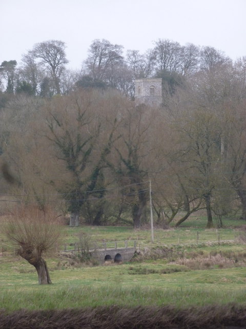
All Saints' Church, Netheravon

The Church of All Saints is the Church of England parish church for the village of Netheravon, Wiltshire, England. A church has stood on this site near...

Figheldean

Figheldean is a village and civil parish on the River Avon, 3+1⁄2 miles (6 km) north of Amesbury in Wiltshire, England. Figheldean parish extends 3 miles...

Netheravon

Netheravon is a village and civil parish on the River Avon and A345 road, about 4 miles (6.4 km) north of the town of Amesbury in Wiltshire, South West...

Larkhill

Larkhill is a garrison town in the civil parish of Durrington, Wiltshire, England. It lies about 1+3⁄4 miles (2.8 km) west of the centre of Durrington...

Have you been to Anniversary Plantation?

Leave your review of Anniversary Plantation below (or comments, questions and feedback).