Barn Wood
Wood, Forest in Yorkshire Harrogate
England
Barn Wood
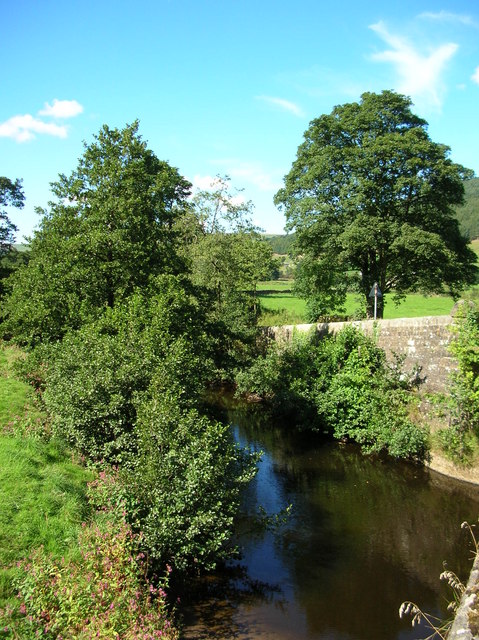
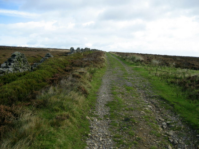
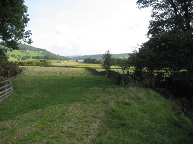
Barn Wood is a picturesque forest located in the county of Yorkshire, England. Covering an expansive area of land, it is renowned for its abundant and diverse range of flora and fauna, making it a haven for nature enthusiasts and wildlife lovers alike.
The forest is characterized by its dense canopy of towering oak and beech trees, which create a serene and peaceful atmosphere. The ancient woodland is home to a myriad of plant species including bluebells, primroses, and wild garlic, which carpet the forest floor during the spring months, painting the landscape with vibrant colors.
Barn Wood is not only a sanctuary for plants but also provides a habitat for a variety of wildlife. Visitors may catch glimpses of deer gracefully roaming through the undergrowth or squirrels darting between the trees. The forest is also home to a rich birdlife, with species such as woodpeckers, tawny owls, and nuthatches making their homes amongst the branches.
For those seeking outdoor activities, Barn Wood offers a network of well-maintained walking trails, allowing visitors to explore its enchanting beauty at their own pace. The forest also boasts several picnic areas, providing the perfect spot for a leisurely lunch surrounded by nature.
Barn Wood, Yorkshire, truly exemplifies the beauty of England's countryside. Its ancient woodland, diverse plant life, and abundant wildlife make it a must-visit destination for anyone seeking a tranquil escape from the hustle and bustle of everyday life.
If you have any feedback on the listing, please let us know in the comments section below.
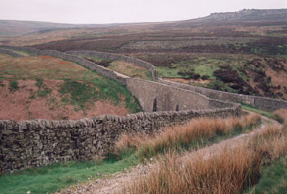
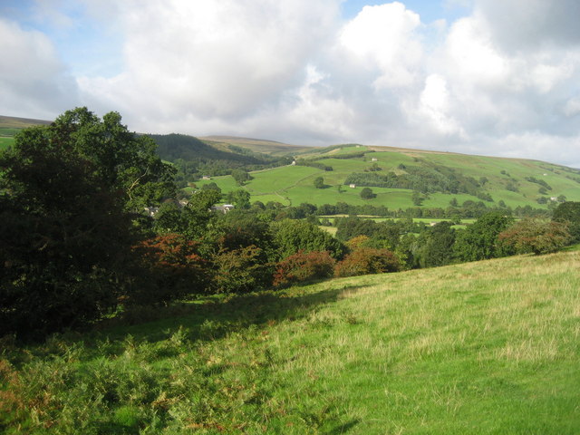
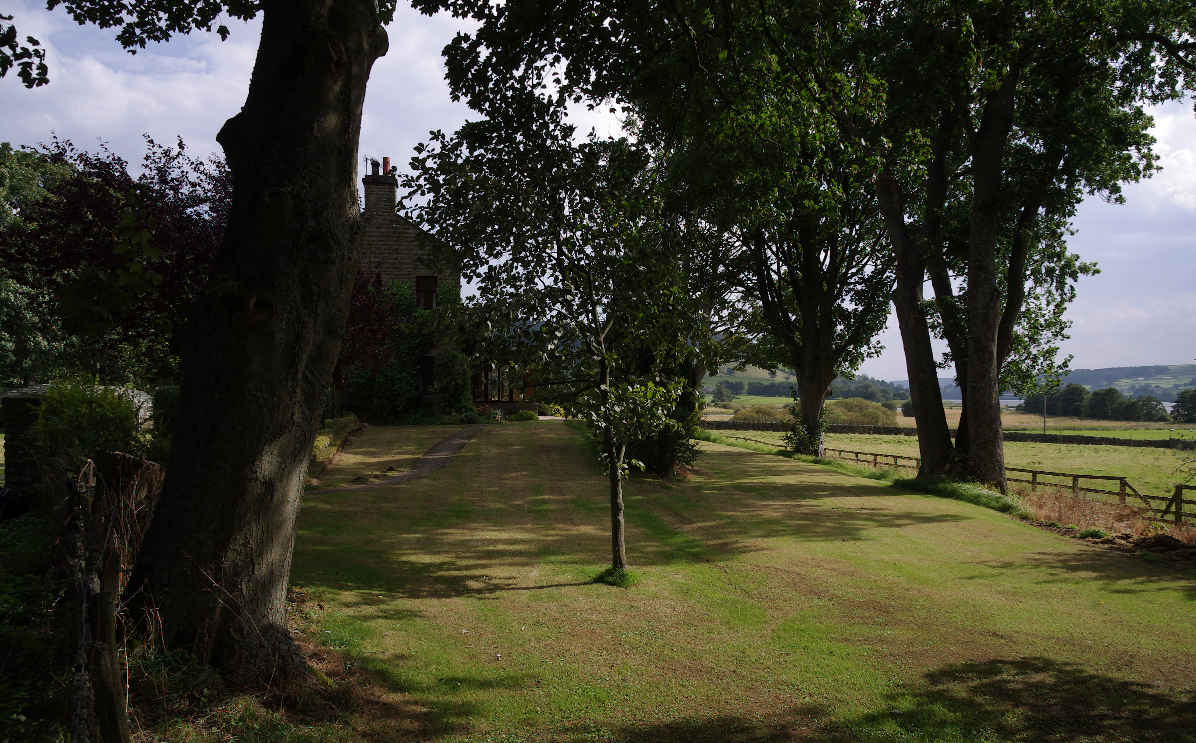
Barn Wood Images
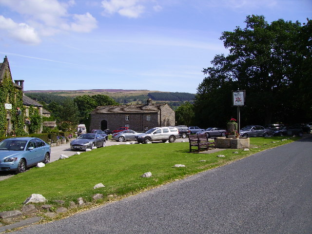
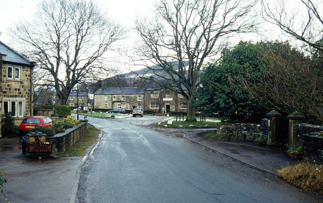
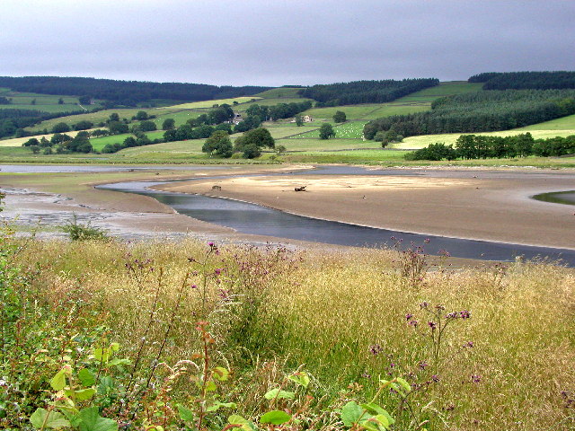
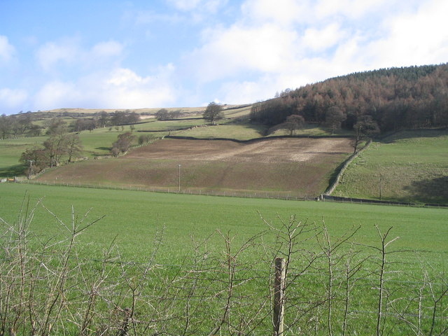
Images are sourced within 2km of 54.136789/-1.7990201 or Grid Reference SE1371. Thanks to Geograph Open Source API. All images are credited.


Barn Wood is located at Grid Ref: SE1371 (Lat: 54.136789, Lng: -1.7990201)
Division: West Riding
Administrative County: North Yorkshire
District: Harrogate
Police Authority: North Yorkshire
What 3 Words
///recline.intention.darkens. Near Pateley Bridge, North Yorkshire
Nearby Locations
Related Wikis
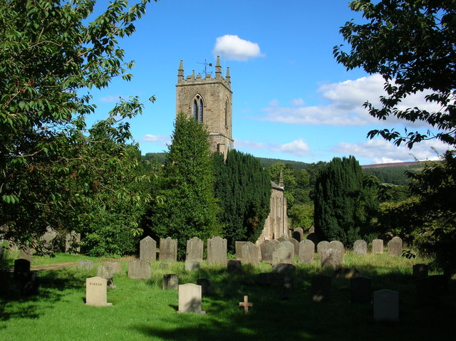
Bouthwaite
Bouthwaite is a hamlet in the Harrogate district of North Yorkshire, England. It is situated in Nidderdale, to the north of Pateley Bridge, close to the...
Ramsgill railway station
Ramsgill railway station was a station on the Nidd Valley Light Railway in Nidderdale in Yorkshire, England. It opened in 1907 and closed in 1930. It was...

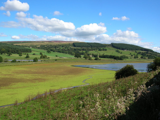
Ramsgill
Ramsgill is a small village in Nidderdale, North Yorkshire, England, about 2 miles (3.2 km) south-east of Lofthouse, located near Gouthwaite Reservoir...

Yorke Arms
The Yorke Arms is a luxury events venue in Ramsgill, Nidderdale, in the Yorkshire Dales in northern England.The building began life as a shooting lodge...
Nearby Amenities
Located within 500m of 54.136789,-1.7990201Have you been to Barn Wood?
Leave your review of Barn Wood below (or comments, questions and feedback).