Applegarth Low Wood
Wood, Forest in Yorkshire Richmondshire
England
Applegarth Low Wood
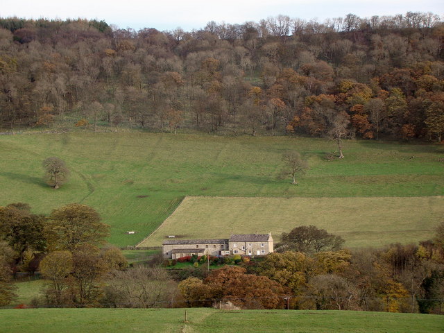
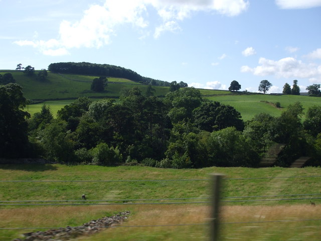
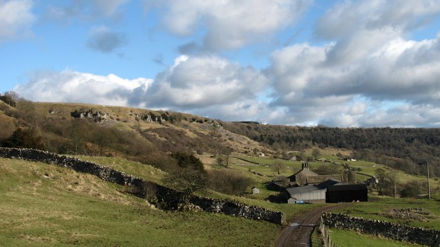
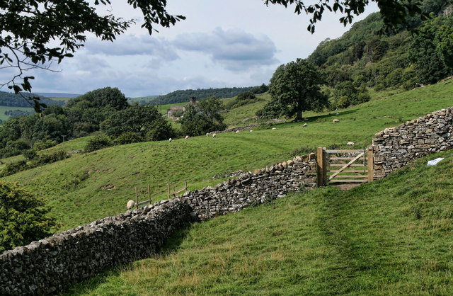
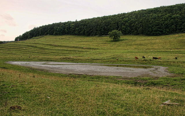
Applegarth Low Wood is a picturesque forest located in Yorkshire, England. Covering an area of approximately 100 acres, it is a popular destination for nature enthusiasts and outdoor lovers. The forest is nestled in the heart of the beautiful Yorkshire Dales National Park, offering visitors a tranquil escape from the hustle and bustle of city life.
The wood is predominantly made up of native broadleaf trees, including oak, birch, and beech, creating a dense and verdant canopy. This lush foliage provides a habitat for a wide variety of wildlife, including birds, mammals, and insects. Visitors to Applegarth Low Wood can often spot deer, foxes, and squirrels roaming freely within the forest.
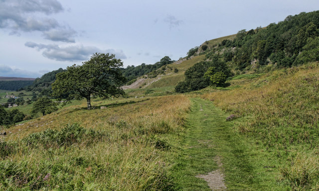
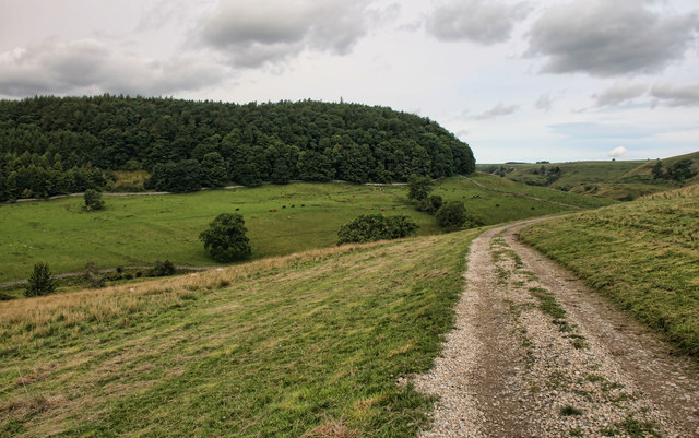
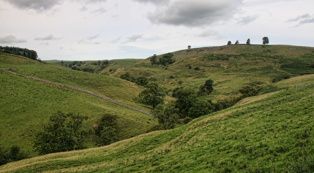
There are several walking trails that crisscross through the wood, allowing visitors to explore its natural beauty at their own pace. The paths are well-maintained and suitable for all levels of fitness. Along the way, visitors can discover hidden clearings, babbling brooks, and breathtaking viewpoints, offering magnificent vistas of the surrounding countryside.
Applegarth Low Wood is also home to a diverse range of plant species, with carpets of bluebells and wild garlic adorning the forest floor in the springtime. This makes it a popular spot for nature photographers and botany enthusiasts.
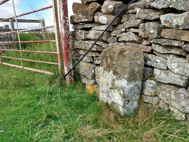
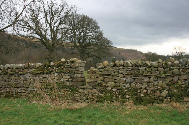
In addition to its natural beauty, the wood also has historical significance. It is believed that the forest has been in existence since medieval times, and remnants of ancient stone walls can still be seen within its boundaries.
Overall, Applegarth Low Wood is a serene and enchanting destination that offers visitors the opportunity to connect with nature and immerse themselves in the timeless beauty of the Yorkshire countryside.
If you have any feedback on the listing, please let us know in the comments section below.
Applegarth Low Wood Images
Images are sourced within 2km of 54.407428/-1.8135689 or Grid Reference NZ1201. Thanks to Geograph Open Source API. All images are credited.
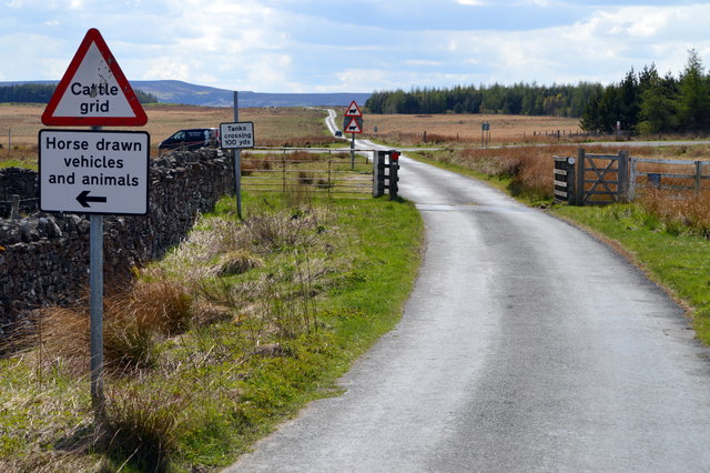
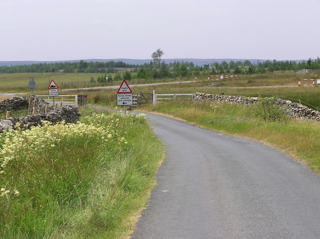
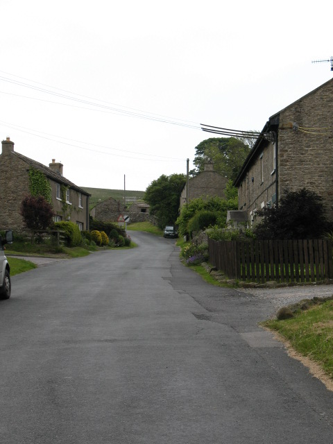
![Road across the moor This minor road sees little traffic these days, but at one time it was one of the main routes from Richmond into Swaledale, crossing the Swale at Richmond Bridge and passing through Hudswell before reaching this point on the way to Downholme and then via Stop Bridge Lane [now an unsurfaced byway] before dropping into the dale to join what is now the B6270. The current main route up the dale from Richmond is an early 19thC turnpike road.](https://s2.geograph.org.uk/geophotos/04/60/15/4601530_bfec6319.jpg)
Applegarth Low Wood is located at Grid Ref: NZ1201 (Lat: 54.407428, Lng: -1.8135689)
Division: North Riding
Administrative County: North Yorkshire
District: Richmondshire
Police Authority: North Yorkshire
What 3 Words
///entrust.threading.cocktail. Near Richmond, North Yorkshire
Nearby Locations
Related Wikis

Scott Trial
The Scott Trial is a British motorcycle trials competition dating from 1914 run over an off-road course of approximately 70 miles. One of the most challenging...

Applegarth, North Yorkshire
Applegarth is a historic settlement located north of the River Swale in Yorkshire, England. It lies about three-quarters of a mile north-east of the village...

Marske, Richmondshire
Marske is a village and civil parish in the Richmondshire district of North Yorkshire, England, situated in lower Swaledale on the boundary of the Yorkshire...

Hudswell, North Yorkshire
Hudswell is a village and civil parish on the border of the Yorkshire Dales, in North Yorkshire, England. The population at the ONS Census 2011 was 353...

Skelton, west North Yorkshire
Skelton is a small hamlet in the Richmondshire district of North Yorkshire, England. It is within the Yorkshire Dales National Park near the larger village...
Downholme
Downholme is a village and civil parish in North Yorkshire, England. It is situated approximately 4 miles (6 km) west from the market town of Richmond...

Richmond Racecourse
Richmond Racecourse was a British horse racing track situated at Richmond, North Yorkshire at first High Moor, then Low Moor, from 1765 to 1776. It was...

St Joseph and St Francis Xavier Church
St Joseph and St Francis Xavier Church is a Roman Catholic Parish church in Richmond, North Yorkshire. It is situated between Newbiggin and Victoria Road...
Nearby Amenities
Located within 500m of 54.407428,-1.8135689Have you been to Applegarth Low Wood?
Leave your review of Applegarth Low Wood below (or comments, questions and feedback).