The Birches
Wood, Forest in Durham
England
The Birches

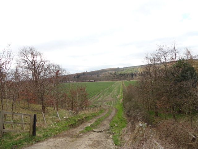
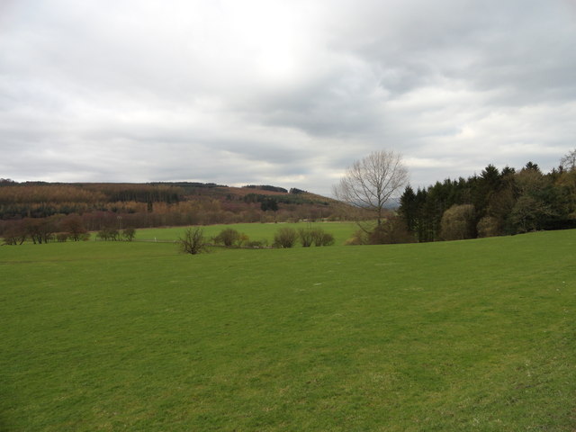
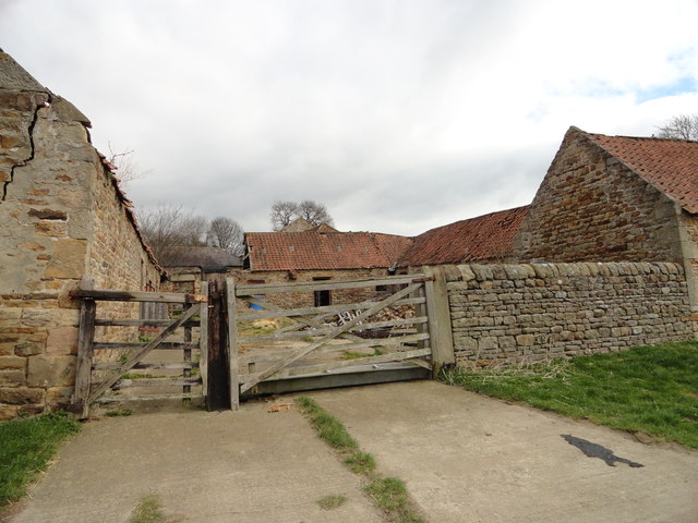
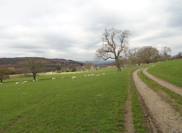
The Birches is a picturesque wood located in Durham, a county in the northeast of England. Nestled amidst the breathtaking landscapes of the region, this forest is a haven for nature enthusiasts and those seeking tranquility. The Birches spans across an area of approximately 50 acres and is characterized by its dense foliage, towering trees, and winding paths.
The forest is home to a diverse range of tree species, including oak, birch, beech, and pine, which contribute to its vibrant and lush environment. The canopy of leaves provides shade and creates a serene atmosphere, making it an ideal spot for leisurely walks or picnics.
The Birches boasts a network of well-maintained trails that meander through the woods, allowing visitors to explore its enchanting beauty at their own pace. These paths are suitable for all levels of fitness and are often frequented by walkers, joggers, and dog owners.
Wildlife abounds within The Birches, with various species of birds, squirrels, and rabbits frequently spotted among the trees. It is not uncommon to catch glimpses of colorful butterflies fluttering from flower to flower during the warmer months.
The forest is open to the public throughout the year, offering a respite from the hustle and bustle of urban life. Whether one seeks solitude, a connection with nature, or simply a break from everyday routines, The Birches in Durham is a captivating destination that promises a rejuvenating and memorable experience.
If you have any feedback on the listing, please let us know in the comments section below.
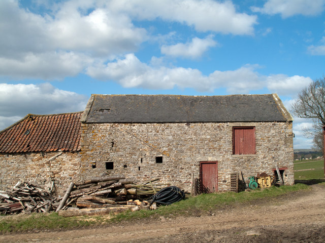
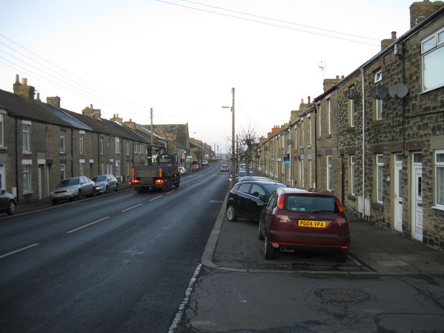
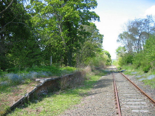
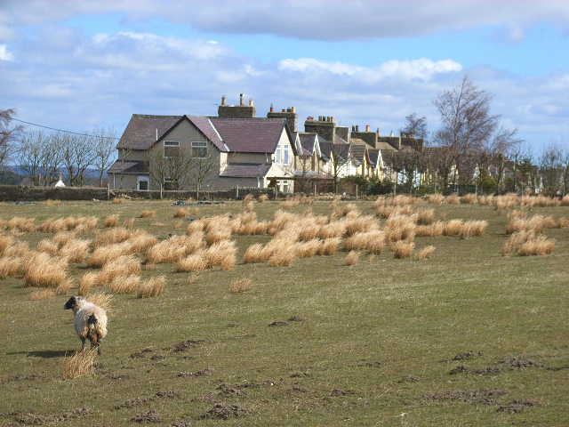
The Birches Images
Images are sourced within 2km of 54.726224/-1.8120176 or Grid Reference NZ1236. Thanks to Geograph Open Source API. All images are credited.


The Birches is located at Grid Ref: NZ1236 (Lat: 54.726224, Lng: -1.8120176)
Unitary Authority: County Durham
Police Authority: Durham
What 3 Words
///letter.assume.pave. Near Tow Law, Co. Durham
Related Wikis
Thornley, Weardale
Thornley is a village in Weardale, County Durham, about 1 mile (1.6 km) south of Tow Law. In 2001 it had a population of 184. == References ==

Craigside
Craigside is a small village in County Durham, England. It is situated close to the River Wear, west of Crook. == References ==
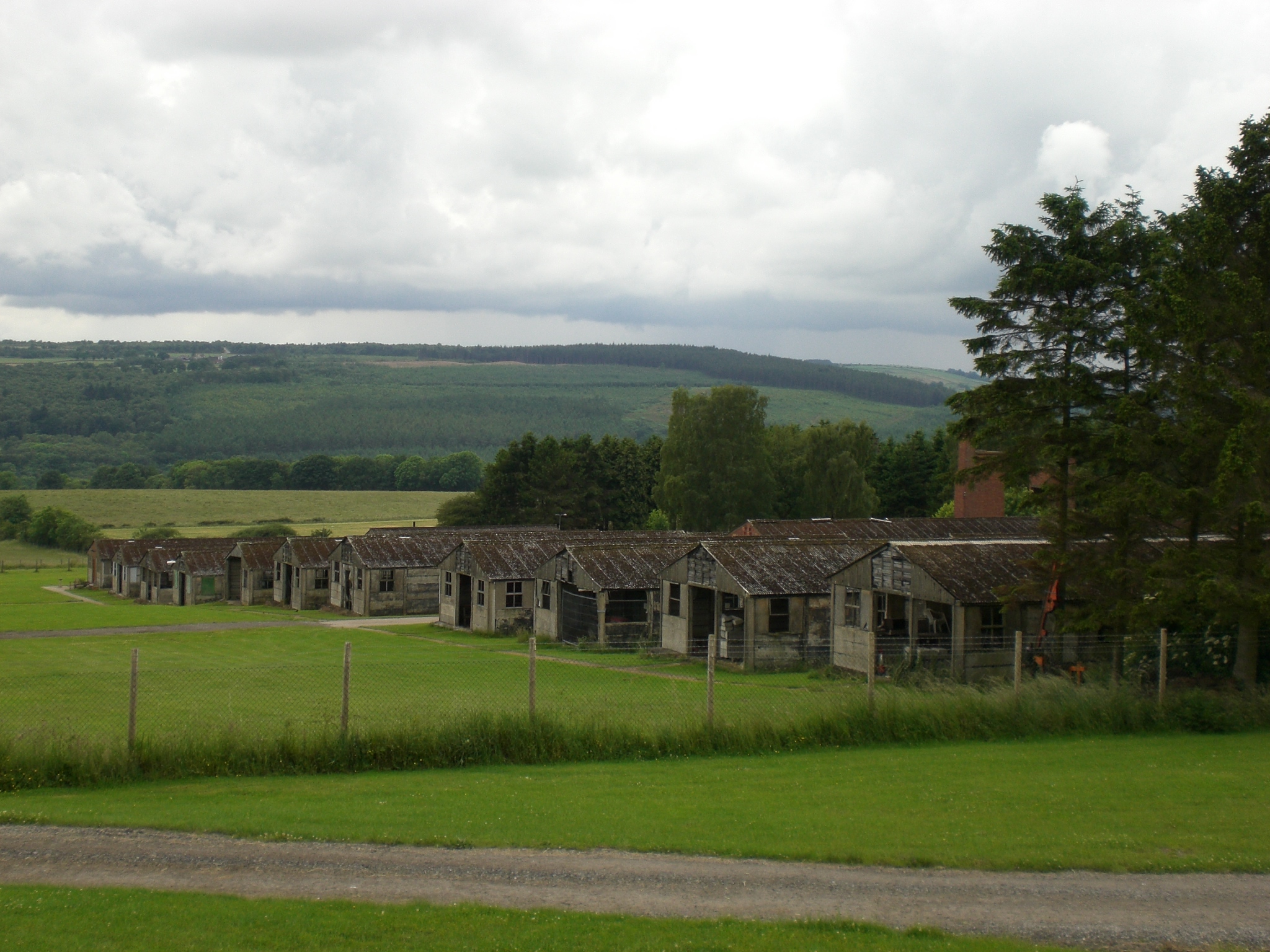
Harperley POW Camp 93
Harperley POW Camp 93 is a surviving purpose-built World War II Prisoner of War (PoW) camp built to accommodate up to 1,400 inmates at Fir Tree near Crook...
Harperley railway station
Harperley railway station served the Harperley Hall Estate and the nearby hamlet of Low Harperley, close to the village of Fir Tree in County Durham, North...

Tow Law railway station
Tow Law railway station served the town of Tow Law, County Durham, England, from 1847 to 1965 on the Stanhope and Tyne Railway. == History == The first...
Tow Law Town F.C.
Tow Law Town Association Football Club is an English non-league football club from Tow Law, County Durham, currently playing in the Northern League Division...

Tow Law
Tow Law is a town and civil parish in County Durham, England. It is situated a few miles to the south of Consett and 5 miles to the north west of Crook...
Sunniside, Weardale
Sunniside is a small rural village to the east of Tow Law and north of Crook in County Durham, England. Sunniside has one pub, and a former post office...
Nearby Amenities
Located within 500m of 54.726224,-1.8120176Have you been to The Birches?
Leave your review of The Birches below (or comments, questions and feedback).