Black Plantation
Wood, Forest in Yorkshire Richmondshire
England
Black Plantation

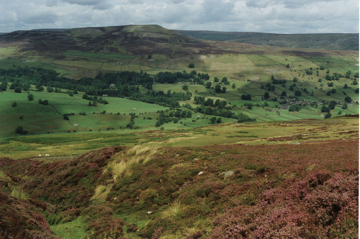
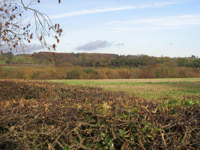
Black Plantation is a picturesque woodland located in Yorkshire, England. Situated within the wider area of the Yorkshire Dales National Park, this woodland exudes natural beauty and tranquility. Covering a sprawling area of approximately 50 acres, Black Plantation is predominantly made up of dense forest, with a variety of tree species such as oak, beech, and birch creating a rich and diverse ecosystem.
The woodland is named after the dark color of the soil, which is a result of the high levels of organic matter found in the area. This fertile soil provides ideal conditions for the growth of a wide range of flora and fauna. The forest floor is adorned with a carpet of vibrant wildflowers, including bluebells and primroses, which bloom in spring, adding a burst of color to the landscape.
Black Plantation is home to a diverse array of wildlife. Visitors may catch glimpses of native species such as roe deer, badgers, and foxes, as well as various bird species including woodpeckers and owls. The woodland also hosts a rich insect population, with butterflies and bees being particularly abundant during the warmer months.
The woodland is a popular destination for nature enthusiasts, hikers, and photographers alike. Several well-maintained trails allow visitors to explore the forest, providing opportunities to discover hidden gems and enjoy the peaceful ambiance. The breathtaking views of the surrounding countryside from certain vantage points within Black Plantation make it a truly magical place to visit.
If you have any feedback on the listing, please let us know in the comments section below.
Black Plantation Images
Images are sourced within 2km of 54.351286/-1.8137151 or Grid Reference SE1295. Thanks to Geograph Open Source API. All images are credited.


Black Plantation is located at Grid Ref: SE1295 (Lat: 54.351286, Lng: -1.8137151)
Division: North Riding
Administrative County: North Yorkshire
District: Richmondshire
Police Authority: North Yorkshire
What 3 Words
///landowner.pool.whisk. Near Leyburn, North Yorkshire
Nearby Locations
Related Wikis

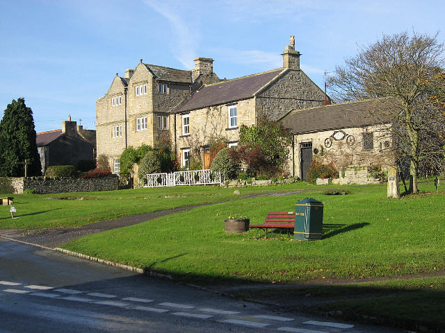
Walburn, North Yorkshire
Walburn is a hamlet and civil parish in North Yorkshire, England. It is located in lower Swaledale, 5 miles (8 km) south-west of Richmond. The population...
Swaledale
Swaledale is a valley in North Yorkshire, England. It is one of the Yorkshire Dales, which are part of the Pennines, and within the Yorkshire Dales National...

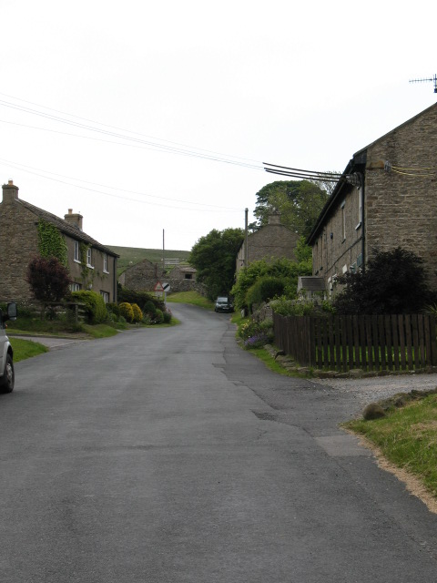
Stainton, west North Yorkshire
Stainton is a hamlet and civil parish in the North Yorkshire district of North Yorkshire, England. It is located just outside the Yorkshire Dales National...
Bellerby
Bellerby is a village and civil parish in North Yorkshire, England, about 7 miles (11 km) south-west of Richmond. The village has one pub, the Cross Keys...
Downholme
Downholme is a village and civil parish in North Yorkshire, England. It is situated approximately 4 miles (6 km) west from the market town of Richmond...

Barden, Richmondshire
Barden is a hamlet and civil parish in North Yorkshire, England. It is about 5 miles (8 km) south of Richmond. According to the 2001 census the parish...
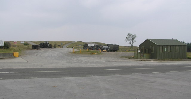
Hipswell Moor
Hipswell Moor is an area used for military training, near Catterick Garrison in North Yorkshire, England. It includes parts of the civil parishes of Barden...
Garriston
Garriston is a hamlet and civil parish north-east of Leyburn in North Yorkshire, England. In 2015, North Yorkshire County Council estimated the population...
Nearby Amenities
Located within 500m of 54.351286,-1.8137151Have you been to Black Plantation?
Leave your review of Black Plantation below (or comments, questions and feedback).