Applegarth
Settlement in Yorkshire Richmondshire
England
Applegarth
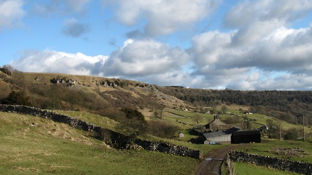
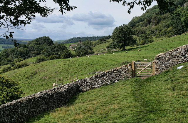
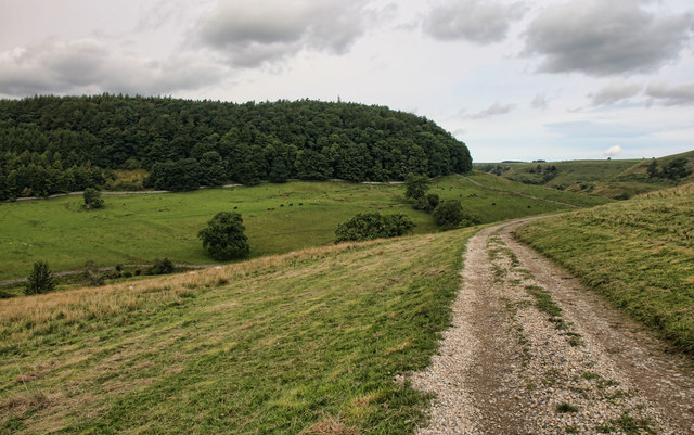
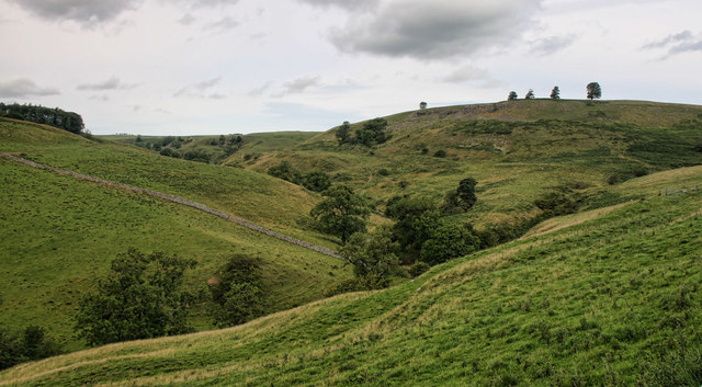
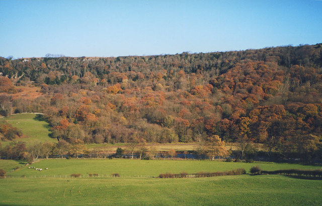
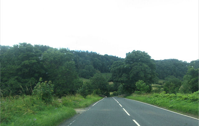
Applegarth is a quaint village located in the Yorkshire Dales, a picturesque region in northern England. Situated in the Richmondshire district, the village is nestled amidst rolling hills and lush green landscapes, offering breathtaking views of the surrounding countryside. With a population of around 200 residents, Applegarth exudes a peaceful and close-knit community atmosphere.
The village boasts a rich history, dating back to medieval times. Visitors can explore the remnants of Applegarth Castle, a historic landmark that played a significant role in the region's past. The village is also home to a beautiful Norman church, St. John the Evangelist, which showcases stunning architectural features.
In terms of amenities, Applegarth offers a range of facilities to cater to residents and visitors alike. The village has a charming local pub, The Apple Tree Inn, which serves traditional Yorkshire cuisine and provides a cozy ambiance for socializing. Additionally, there is a small village shop that provides essential goods and serves as a hub for the local community.
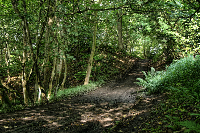
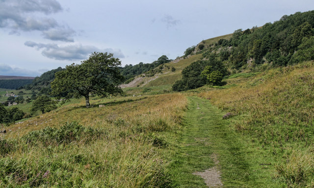
Nature enthusiasts will find plenty to enjoy in Applegarth, as the village is surrounded by some of Yorkshire's most picturesque landscapes. Visitors can explore the nearby Yorkshire Dales National Park, which offers a plethora of outdoor activities such as hiking, cycling, and wildlife spotting.
Overall, Applegarth is a tranquil and idyllic village in the heart of Yorkshire, offering a perfect retreat for those seeking a peaceful countryside getaway.
If you have any feedback on the listing, please let us know in the comments section below.
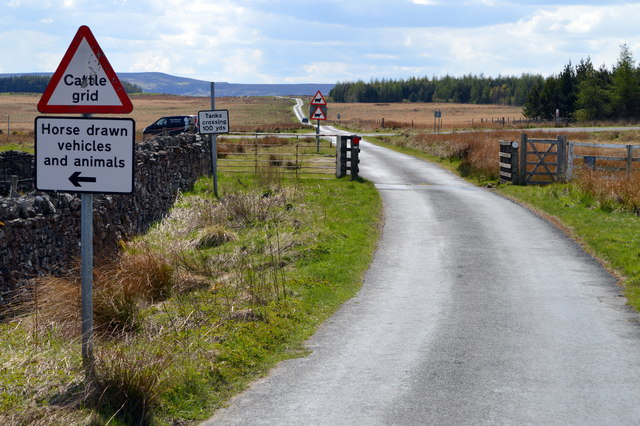
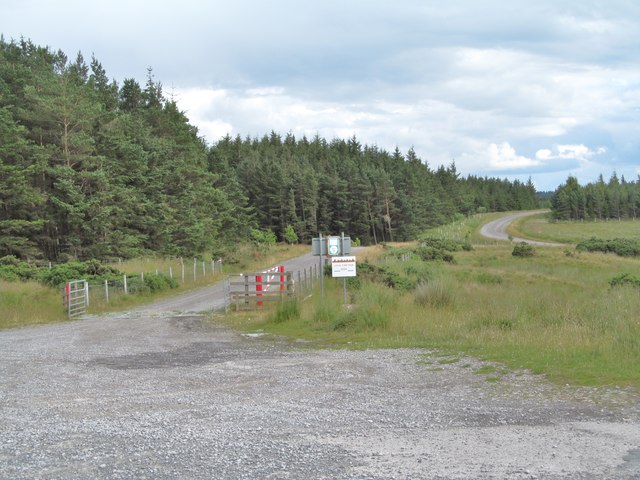
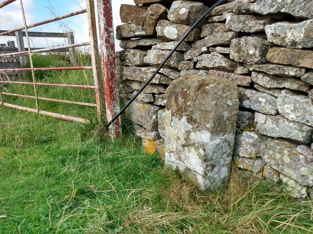
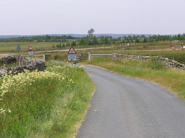
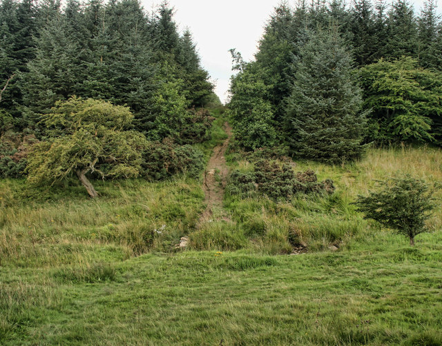
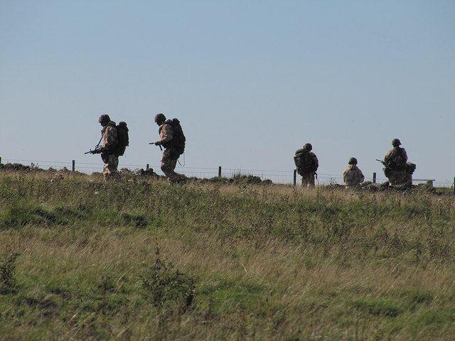
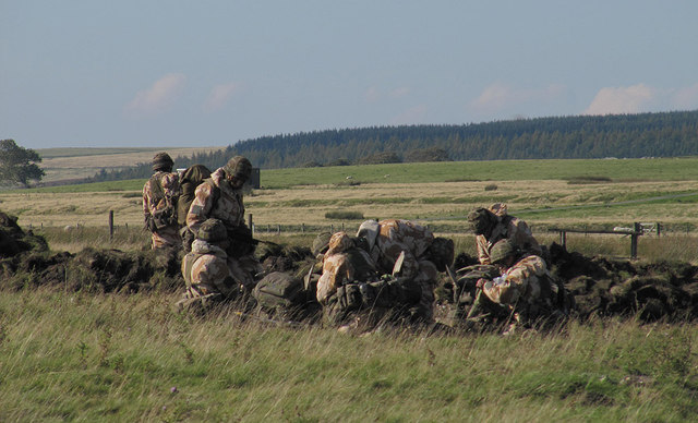
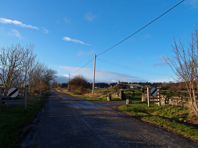
Applegarth Images
Images are sourced within 2km of 54.41016/-1.8022016 or Grid Reference NZ1201. Thanks to Geograph Open Source API. All images are credited.
Applegarth is located at Grid Ref: NZ1201 (Lat: 54.41016, Lng: -1.8022016)
Division: North Riding
Administrative County: North Yorkshire
District: Richmondshire
Police Authority: North Yorkshire
What 3 Words
///browser.snuggled.leap. Near Richmond, North Yorkshire
Nearby Locations
Related Wikis

Applegarth, North Yorkshire
Applegarth is a historic settlement located north of the River Swale in Yorkshire, England. It lies about three-quarters of a mile north-east of the village...

Scott Trial
The Scott Trial is a British motorcycle trials competition dating from 1914 run over an off-road course of approximately 70 miles. One of the most challenging...

Hudswell, North Yorkshire
Hudswell is a village and civil parish on the border of the Yorkshire Dales, in North Yorkshire, England. The population at the ONS Census 2011 was 353...

Marske, Richmondshire
Marske is a village and civil parish in the Richmondshire district of North Yorkshire, England, situated in lower Swaledale on the boundary of the Yorkshire...

Richmond Racecourse
Richmond Racecourse was a British horse racing track situated at Richmond, North Yorkshire at first High Moor, then Low Moor, from 1765 to 1776. It was...

Skelton, west North Yorkshire
Skelton is a small hamlet in the Richmondshire district of North Yorkshire, England. It is within the Yorkshire Dales National Park near the larger village...

St Joseph and St Francis Xavier Church
St Joseph and St Francis Xavier Church is a Roman Catholic Parish church in Richmond, North Yorkshire. It is situated between Newbiggin and Victoria Road...
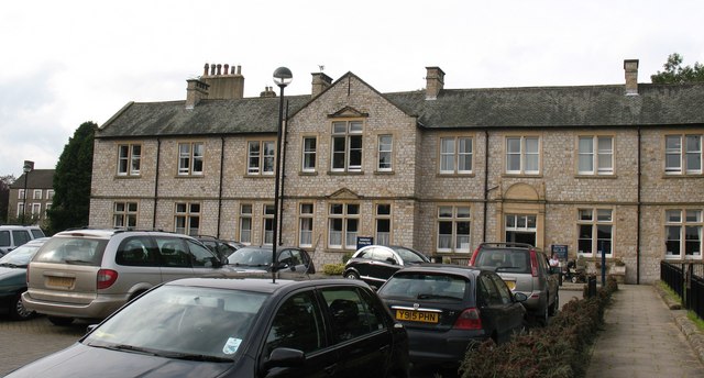
Friary Community Hospital
The Friary Community Hospital is a health facility in Queen's Road, Richmond, North Yorkshire, England. It is managed by South Tees Hospitals NHS Foundation...
Nearby Amenities
Located within 500m of 54.41016,-1.8022016Have you been to Applegarth?
Leave your review of Applegarth below (or comments, questions and feedback).