North Wood
Wood, Forest in Yorkshire
England
North Wood
North Wood is a charming village located in the county of Yorkshire, England. Situated amidst the picturesque landscape of rolling hills and lush green meadows, this village is renowned for its idyllic setting and serene atmosphere. The name "North Wood" aptly describes the area, as it is surrounded by a vast forest, creating a haven for nature lovers and outdoor enthusiasts.
The village itself is small and quaint, with traditional stone cottages and narrow winding lanes that exude a sense of rustic charm. The local community is close-knit and friendly, with a population of around 500 residents. The village is proud of its rich history, with a mention in the Domesday Book of 1086, highlighting its significance as a settlement since medieval times.
Nature lovers visiting North Wood will be captivated by its enchanting surroundings. The forest that envelops the village offers a plethora of walking trails and opportunities to explore the diverse wildlife that inhabits the area. From majestic oaks to vibrant wildflowers, the woodland is a treasure trove of natural beauty.
For those seeking a taste of local culture, North Wood boasts a traditional village pub, which serves a variety of locally sourced dishes and ales. The pub also acts as a social hub, hosting community events and gatherings throughout the year.
Overall, North Wood, Yorkshire, is a hidden gem that offers a peaceful retreat from the hustle and bustle of modern life. Its natural beauty, rich history, and welcoming community make it a must-visit destination for anyone seeking a tranquil escape in the heart of the English countryside.
If you have any feedback on the listing, please let us know in the comments section below.
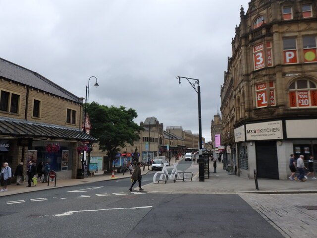
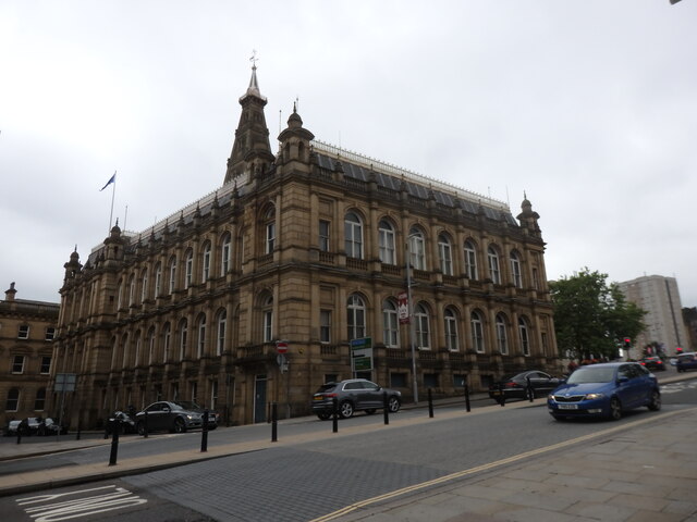
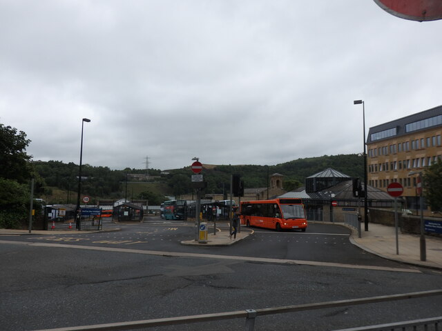
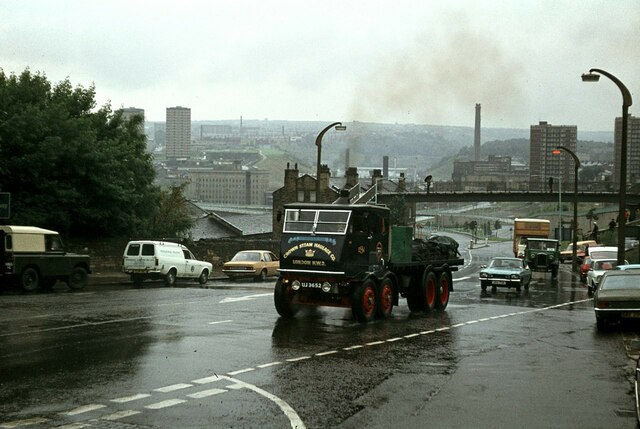
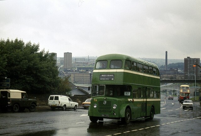
North Wood Images
Images are sourced within 2km of 53.72725/-1.838821 or Grid Reference SE1025. Thanks to Geograph Open Source API. All images are credited.


North Wood is located at Grid Ref: SE1025 (Lat: 53.72725, Lng: -1.838821)
Division: West Riding
Unitary Authority: Calderdale
Police Authority: West Yorkshire
What 3 Words
///intend.cost.sock. Near Halifax, West Yorkshire
Nearby Locations
Related Wikis
Shibden
Shibden is a small dispersed community in Calderdale, West Yorkshire, England. Shibden Hall has a north-west driveway to its lake, café and miniature railway...

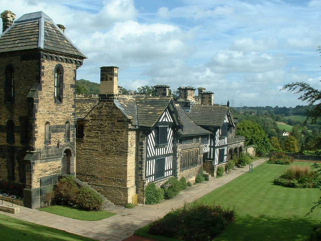
Shibden Hall
Shibden Hall is a Grade II* listed historic house located in a public park at Shibden, West Yorkshire, England. The building has been extensively modified...

Shibden Valley
Shibden Valley (also known as Shibden Dale) is to the east of Halifax, West Yorkshire, England, where the community of Shibden lies. The name of the Shibden...

Halifax Minster
Halifax Minster is the minster church of Halifax, Calderdale, West Yorkshire, England. The church is dedicated to St John the Baptist. The parish church...

Halifax railway station (England)
Halifax railway station serves the town of Halifax in West Yorkshire, England. It lies on the Calder Valley line and is 17 miles (27 km) west from Leeds...

Halifax power station
Halifax power station supplied electricity to the town of Halifax and the wider area from 1894 to the 1960s. It was owned and operated by Halifax Corporation...

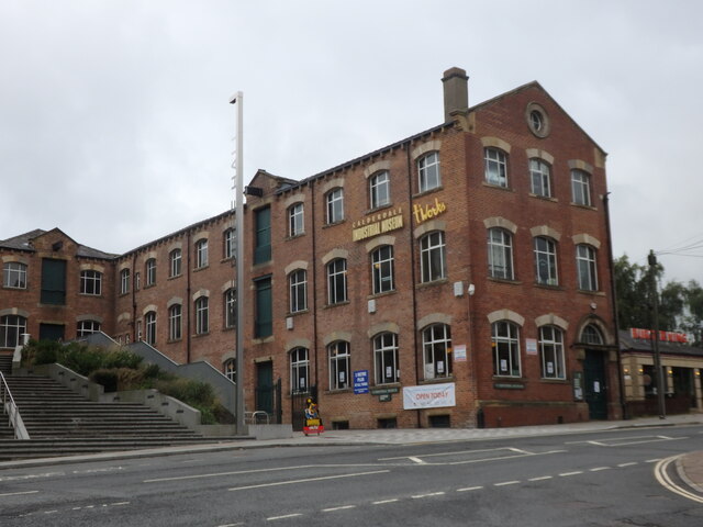
Calderdale Industrial Museum
Calderdale Industrial Museum is a museum in the town of Halifax, West Yorkshire, England, dedicated to the industrial heritage of the area. The museum...

Northowram
Northowram () is a village lying north-east of the town of Halifax in Calderdale, West Yorkshire, England. It stands on the north side of Shibden valley...
Nearby Amenities
Located within 500m of 53.72725,-1.838821Have you been to North Wood?
Leave your review of North Wood below (or comments, questions and feedback).