Troughabolland Wood
Wood, Forest in Yorkshire
England
Troughabolland Wood

Troughabolland Wood is a picturesque woodland located in the county of Yorkshire, England. It covers an area of approximately 100 acres and is nestled in the heart of the stunning Yorkshire Dales National Park. The wood is known for its diverse range of tree species, including oak, beech, birch, and ash, which create a rich and vibrant tapestry of colors throughout the seasons.
The woodland is crisscrossed by a network of well-maintained walking trails, making it a popular destination for nature enthusiasts, hikers, and dog walkers alike. These trails provide visitors with the opportunity to explore the wood at their own pace and discover its hidden treasures, such as a small stream that meanders through the heart of the wood, adding to its charm.
Troughabolland Wood is also home to an abundance of wildlife. Nature lovers can spot a variety of bird species, including woodpeckers, owls, and wrens, as well as small mammals like squirrels, rabbits, and hedgehogs. The wood is particularly known for its resident deer population, which can occasionally be seen grazing peacefully in the early morning or late evening.
Visiting Troughabolland Wood offers a tranquil escape from the hustle and bustle of everyday life. The peaceful ambiance, combined with the stunning natural beauty, provides an idyllic setting for relaxation and contemplation. Whether it's a leisurely stroll, a picnic among the trees, or simply taking in the sights and sounds of nature, Troughabolland Wood is a true gem in the Yorkshire countryside.
If you have any feedback on the listing, please let us know in the comments section below.
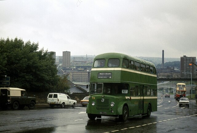
Troughabolland Wood Images
Images are sourced within 2km of 53.729565/-1.842753 or Grid Reference SE1025. Thanks to Geograph Open Source API. All images are credited.


Troughabolland Wood is located at Grid Ref: SE1025 (Lat: 53.729565, Lng: -1.842753)
Division: West Riding
Unitary Authority: Calderdale
Police Authority: West Yorkshire
What 3 Words
///float.grin.type. Near Halifax, West Yorkshire
Nearby Locations
Related Wikis

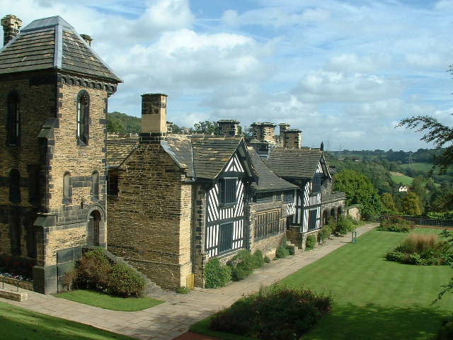
Shibden Hall
Shibden Hall is a Grade II* listed historic house located in a public park at Shibden, West Yorkshire, England. The building has been extensively modified...
Shibden
Shibden is a small dispersed community in Calderdale, West Yorkshire, England. Shibden Hall has a north-west driveway to its lake, café and miniature railway...

Shibden Valley
Shibden Valley (also known as Shibden Dale) is to the east of Halifax, West Yorkshire, England, where the community of Shibden lies. The name of the Shibden...

High Sunderland Hall
High Sunderland Hall was a medieval manor house clad in stone c. 1600. It was located just outside Halifax, West Yorkshire and demolished in 1951 after...
Nearby Amenities
Located within 500m of 53.729565,-1.842753Have you been to Troughabolland Wood?
Leave your review of Troughabolland Wood below (or comments, questions and feedback).