Cunnery Wood

Wood, Forest in Yorkshire

England

Cunnery Wood

Eureka! The National Children's Museum, Halifax
Eureka! The National Children's Museum, Halifax Credit: Stephen Armstrong

Cunnery Wood is a picturesque forest located in Yorkshire, England. Nestled in the heart of the countryside, this wood offers a serene and tranquil escape from the hustle and bustle of urban life. Spanning over several acres, Cunnery Wood is a haven for nature enthusiasts and those seeking outdoor adventures.

The wood is primarily composed of deciduous trees, including oak, beech, and birch, which create a stunning canopy that filters sunlight and provides shade on warm summer days. The forest floor is covered in a rich carpet of moss, ferns, and wildflowers, adding to the enchanting atmosphere.

Several well-maintained trails crisscross through Cunnery Wood, allowing visitors to explore its beauty at their own pace. These pathways wind through ancient trees, revealing hidden nooks and crannies that are home to a wide variety of wildlife. Birdwatchers will delight in the opportunity to spot woodpeckers, owls, and other avian species that call Cunnery Wood their home.

For those interested in history, Cunnery Wood has a unique past. It was once part of a larger estate and played a significant role in the local timber industry. Remnants of old sawmills and logging operations can still be found within the wood, serving as a reminder of its rich heritage.

Whether you are looking for a peaceful stroll, a picnic spot, or a chance to immerse yourself in the wonders of nature, Cunnery Wood is a must-visit destination in Yorkshire. With its breathtaking scenery and abundant wildlife, it offers a truly unforgettable experience for visitors of all ages.

If you have any feedback on the listing, please let us know in the comments section below.

Cunnery Wood Images

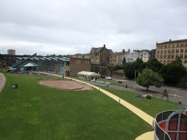
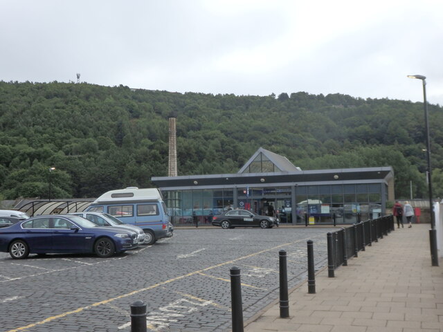
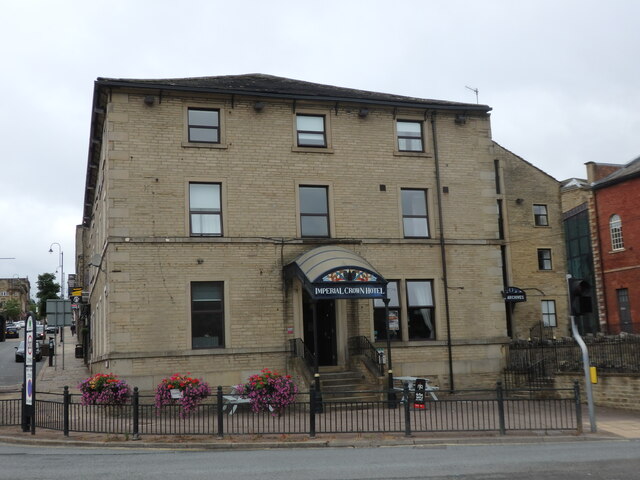
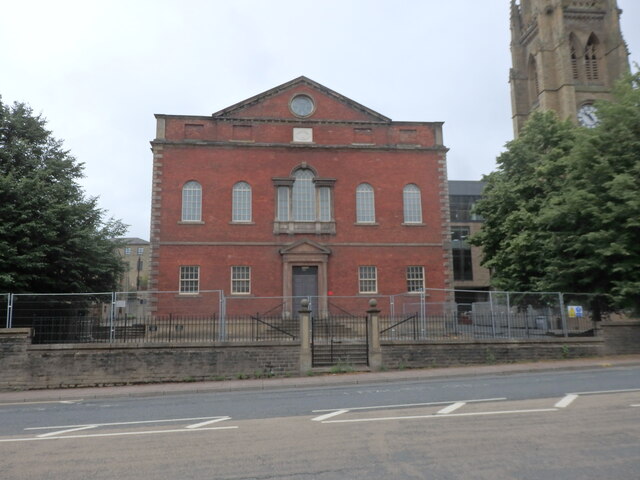
Images are sourced within 2km of 53.726768/-1.8416419 or Grid Reference SE1025. Thanks to Geograph Open Source API. All images are credited.

Eureka! The National Children's Museum, Halifax
Halifax Station Entrance, Horton Street
Imperial Crown Hotel, Halifax Situated at the corner of Square Road & Horton Street, facing Halifax Railway Station.
Imperial Crown Hotel, Halifax
Situated at the corner of Square Road & Horton Street, facing Halifax Railway Station.
The Square Chapel, Square Road, Halifax A Grade II Listed former Congregational Church & Sunday School dating from 1772. It is now an Arts Centre / Performance Space / Wedding Venue.
The Square Chapel, Square Road, Halifax
A Grade II Listed former Congregational Church & Sunday School dating from 1772. It is now an Arts Centre / Performance Space / Wedding Venue.
Calderdale Industrial Museum, Square Road, Halifax
Central Library, Square Road, Halifax
Halifax War Memorial, Duffy's Park, King Street Originally stood in Belle Vue Park. It was moved to its present site close to the Parish Church C1980. Grade II Listed, dated 1922, but altered 1947.
Halifax War Memorial, Duffy's Park, King Street
Originally stood in Belle Vue Park. It was moved to its present site close to the Parish Church C1980. Grade II Listed, dated 1922, but altered 1947.
The Old Post Office, Winding Road, Halifax
Market Street, Halifax Looking south from the bottom of Old Market.
Market Street, Halifax
Looking south from the bottom of Old Market.
Trinity Sixth Form Academy, Market Street, Halifax A new Sixth Form College which opened in September 2020, in the former Central Library building. The library is now located on Square Road. <a href="https://www.geograph.org.uk/photo/6925319">SE0925 : Central Library, Square Road, Halifax</a>
Trinity Sixth Form Academy, Market Street, Halifax
A new Sixth Form College which opened in September 2020, in the former Central Library building. The library is now located on Square Road. SE0925 : Central Library, Square Road, Halifax
Halifax Town Hall Viewed across the A629 Broad Street. Grade II Listed 1863.
Halifax Town Hall
Viewed across the A629 Broad Street. Grade II Listed 1863.
Halifax Bus Station
Halifax Bus Station
Climbing New Bank, Halifax – 1978 -1 On the Trans Pennine Run for commercial vehicles, which is the northern complement to the London to Brighton run for similar vehicles. This is a Sentinel S8 steam lorry, the sole survivor of just 9 of the type built, dating from 1933. The S series was the final flowering of steam road vehicles, with performance at least the match of diesel lorries of the time, although the latter were improving rapidly and were cheaper and easier to run.

The road layout has changed significantly since 1978 with only westbound traffic using the viaduct <a title="https://www.geograph.org.uk/photo/1524040" href="https://www.geograph.org.uk/photo/1524040">Link</a>
Climbing New Bank, Halifax – 1978 -1
On the Trans Pennine Run for commercial vehicles, which is the northern complement to the London to Brighton run for similar vehicles. This is a Sentinel S8 steam lorry, the sole survivor of just 9 of the type built, dating from 1933. The S series was the final flowering of steam road vehicles, with performance at least the match of diesel lorries of the time, although the latter were improving rapidly and were cheaper and easier to run. The road layout has changed significantly since 1978 with only westbound traffic using the viaduct Link
Climbing New Bank, Halifax – 1978 -2 On the Trans Pennine Run for commercial vehicles, which is the northern complement to the London to Brighton run for similar vehicles.

The word 'unique' is often misused, but does apply to this bus, as it was the only double-deck bus built by the Preston firm Atkinson, much better known for their lorry production. It was built in 1954 for the Stalybridge, Hyde, Mossley and Dukinfield Transport and Electricity Board, generally known as the SHMD Joint Board, with bodywork by Northern Counties of Wigan. It was unusual in having a central entrance which was a peculiarity of the operator. The bus behind is also of interest. It is one of a small number of buses built by AEC to London Transport's RT specification for operators other than London Transport itself, in this case St Helens Corporation.

The road layout has changed significantly since 1978 with only westbound traffic using the viaduct <a title="https://www.geograph.org.uk/photo/1524040" href="https://www.geograph.org.uk/photo/1524040">Link</a>

This is one of a series of views featuring buses in the 60s, 70s, and 80s. <a title="https://www.geograph.org.uk/search.php?i=137652761" href="https://www.geograph.org.uk/search.php?i=137652761">Link</a>
Climbing New Bank, Halifax – 1978 -2
On the Trans Pennine Run for commercial vehicles, which is the northern complement to the London to Brighton run for similar vehicles. The word 'unique' is often misused, but does apply to this bus, as it was the only double-deck bus built by the Preston firm Atkinson, much better known for their lorry production. It was built in 1954 for the Stalybridge, Hyde, Mossley and Dukinfield Transport and Electricity Board, generally known as the SHMD Joint Board, with bodywork by Northern Counties of Wigan. It was unusual in having a central entrance which was a peculiarity of the operator. The bus behind is also of interest. It is one of a small number of buses built by AEC to London Transport's RT specification for operators other than London Transport itself, in this case St Helens Corporation. The road layout has changed significantly since 1978 with only westbound traffic using the viaduct Link This is one of a series of views featuring buses in the 60s, 70s, and 80s. Link
Skircoat Road, Halifax This is a revisit to the first geograph for the square <a href="https://www.geograph.org.uk/photo/943">SE0924 : Skircoat Road</a>, taken in January 2005. The bus lane now has parking places in it and there are parking meters. This is presumably to raise money from the football fans attending matches at The Shay.
Skircoat Road, Halifax
This is a revisit to the first geograph for the square SE0924 : Skircoat Road, taken in January 2005. The bus lane now has parking places in it and there are parking meters. This is presumably to raise money from the football fans attending matches at The Shay.
Westgate Arcade on Market Street
Exhibition at the Piece Hall
Heavy Clouds over the Piece Hall
Show me another place!

Cunnery Wood is located at Grid Ref: SE1025 (Lat: 53.726768, Lng: -1.8416419)

Division: West Riding

Unitary Authority: Calderdale

Police Authority: West Yorkshire

What 3 Words

///drove.tile.plots. Near Halifax, West Yorkshire

Related Wikis

Shibden Valley

Shibden Valley (also known as Shibden Dale) is to the east of Halifax, West Yorkshire, England, where the community of Shibden lies. The name of the Shibden...
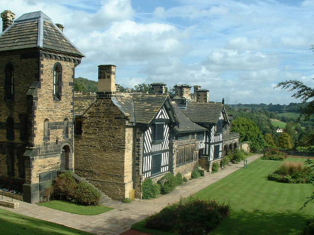
Shibden Hall

Shibden Hall is a Grade II* listed historic house located in a public park at Shibden, West Yorkshire, England. The building has been extensively modified...

Shibden

Shibden is a small dispersed community in Calderdale, West Yorkshire, England. Shibden Hall has a north-west driveway to its lake, café and miniature railway...

Halifax Minster

Halifax Minster is the minster church of Halifax, Calderdale, West Yorkshire, England. The church is dedicated to St John the Baptist. The parish church...

Nearby Amenities

Located within 500m of 53.726768,-1.8416419
Bus Stop
Lat/Long: 53.7305083/-1.8438305
Traffic Signals
Crossing: traffic_signals
Crossing Ref: puffin
Lat/Long: 53.7302136/-1.8440287
Barrier: bollard
Lat/Long: 53.7295943/-1.8403324
Bus Stop
Godley Lane
Local Ref: 45014946
Naptan AtcoCode: 450014946
Naptan Bearing: NE
Naptan CommonName: Godley Lane
Naptan Crossing: Old Godley Lane
Naptan Indicator: Stop 45014946
Naptan Landmark: Shibden Park
Naptan PlusbusZoneRef: LEEDS
Naptan ShortCommonName: Old Godley Lane
Naptan Street: Godley Lane
Naptan Verified: no
Source: naptan_import
Lat/Long: 53.7304206/-1.8433132
Bus Stop
Godley Lane
Local Ref: 45014947
Naptan AtcoCode: 450014947
Naptan Bearing: NE
Naptan CommonName: Godley Lane
Naptan Crossing: Old Godley Lane
Naptan Indicator: Stop 45014947
Naptan Landmark: BP Garage - Opp Shibden Park
Naptan PlusbusZoneRef: LEEDS
Naptan ShortCommonName: Old Godley Lane
Naptan Street: Godley Lane
Naptan Verified: no
Source: naptan_import
Lat/Long: 53.7303673/-1.8437833
Bus Stop
Godley Lane
Bus: yes
Local Ref: 45014948
Naptan AtcoCode: 450014948
Naptan Bearing: NE
Naptan CommonName: Godley Lane
Naptan Crossing: The Incline
Naptan Indicator: Stop 45014948
Naptan Landmark: Godley Bridge
Naptan Notes: OSR taken place 271005
Naptan PlusbusZoneRef: LEEDS
Naptan ShortCommonName: Listers Road
Naptan Street: Godley Lane
Naptan Verified: no
Public Transport: platform
Source: naptan_import
Lat/Long: 53.7280993/-1.8485055
Power: tower
Lat/Long: 53.7258443/-1.8382508
Power: tower
Lat/Long: 53.7283027/-1.8431871
Turning Circle
Lat/Long: 53.7263763/-1.8352047
Shibden Hall
Addr City: Halifax
Addr Housename: Shibden Hall
Addr Postcode: HX3 6XG
Addr Street: Lister's Road
Contact Facebook: https://www.facebook.com/ShibdenHall
Contact Twitter: https://www.twitter.com/ShibdenHall
Email: museums@calderdale.gov.uk
Fee: yes
Museum: history
Opening Hours: Mo-Fr 10:00-17:00; Sa-Su 11:00-17:00
Operator: Calderdale Museums
Operator Type: council
Phone: +44 1422 352246
Toilets: yes
Tourism: museum
Website: https://museums.calderdale.gov.uk/visit/shibden-hall
Lat/Long: 53.7281552/-1.8399129
Power: tower
Lat/Long: 53.7240566/-1.8374094
Power: tower
Lat/Long: 53.7253488/-1.8403731
Power: tower
Lat/Long: 53.7269574/-1.8441034
Power: tower
Lat/Long: 53.7271369/-1.8486461
Power: tower
Lat/Long: 53.7276792/-1.8457233
Turning Circle
Lat/Long: 53.725561/-1.8483118
The data included in this document is from www.openstreetmap.org. The data is made available under ODbL.

Have you been to Cunnery Wood?

Leave your review of Cunnery Wood below (or comments, questions and feedback).