Beacon Hill
Hill, Mountain in Yorkshire
England
Beacon Hill
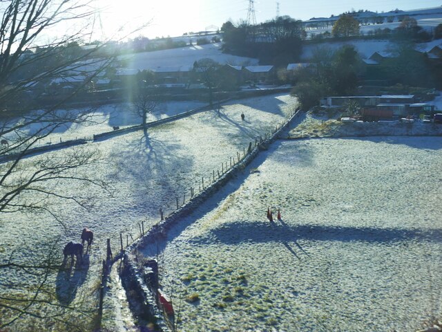
Beacon Hill is a prominent hill located in the county of Yorkshire, England. Situated in the North York Moors National Park, it forms part of the stunning landscape that characterizes this region. Rising to an elevation of 335 meters (1,099 feet), it offers breathtaking panoramic views of the surrounding countryside.
The hill is primarily composed of sandstone, which gives it a distinctive reddish-brown color. Its slopes are covered with heather, creating a vibrant purple blanket during the summer months. These heather moorlands are not only visually stunning but also provide a vital habitat for a variety of wildlife, including birds of prey such as kestrels and buzzards.
At the summit of Beacon Hill, visitors can find the remains of an ancient beacon, which gives the hill its name. This beacon was historically used as a signal fire to warn of impending danger or to communicate important messages across the countryside. Today, it serves as a reminder of the area's rich history and its strategic importance in times past.
The hill is a popular destination for outdoor enthusiasts, offering a range of activities such as hiking, mountain biking, and birdwatching. There are several well-marked trails that lead to the summit, allowing visitors to explore the area at their own pace. On clear days, the views from the top extend for miles, encompassing the rolling hills, lush valleys, and quaint villages that make Yorkshire such a picturesque destination.
Overall, Beacon Hill is a natural gem within Yorkshire, offering visitors a chance to immerse themselves in the beauty and tranquility of the North York Moors National Park.
If you have any feedback on the listing, please let us know in the comments section below.
Beacon Hill Images
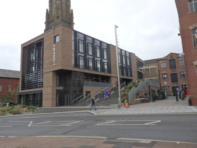
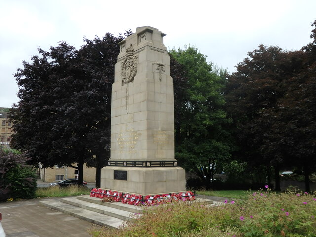
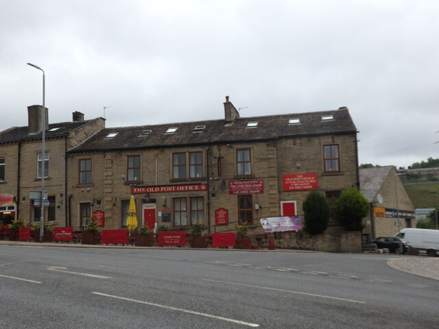
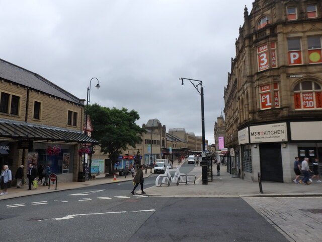
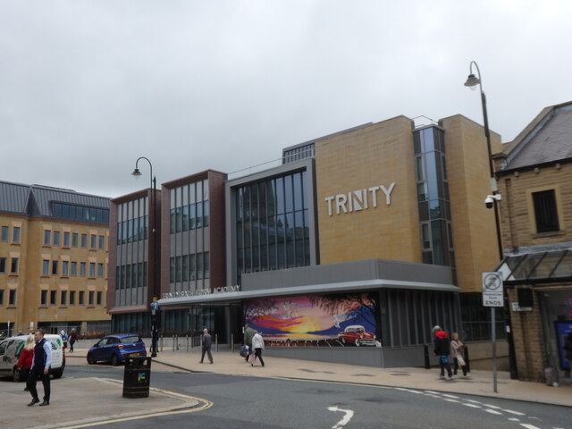
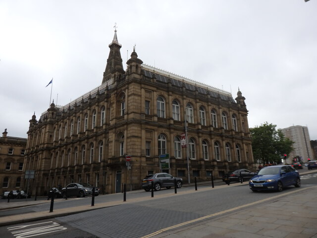
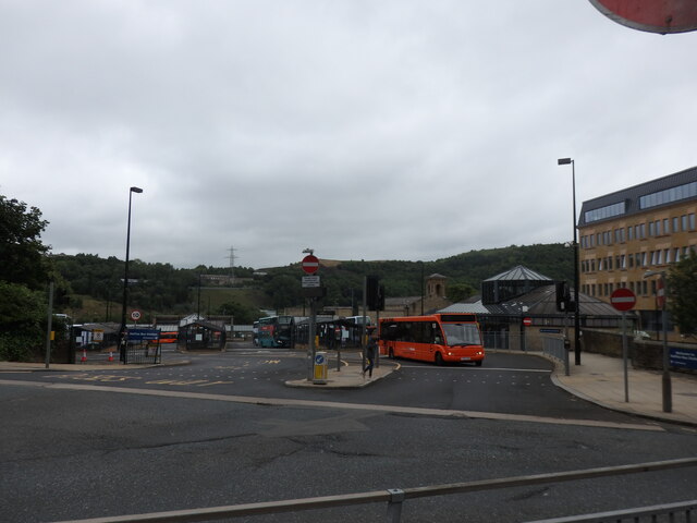
Images are sourced within 2km of 53.722046/-1.8457664 or Grid Reference SE1025. Thanks to Geograph Open Source API. All images are credited.


Beacon Hill is located at Grid Ref: SE1025 (Lat: 53.722046, Lng: -1.8457664)
Division: West Riding
Unitary Authority: Calderdale
Police Authority: West Yorkshire
What 3 Words
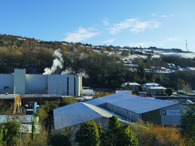
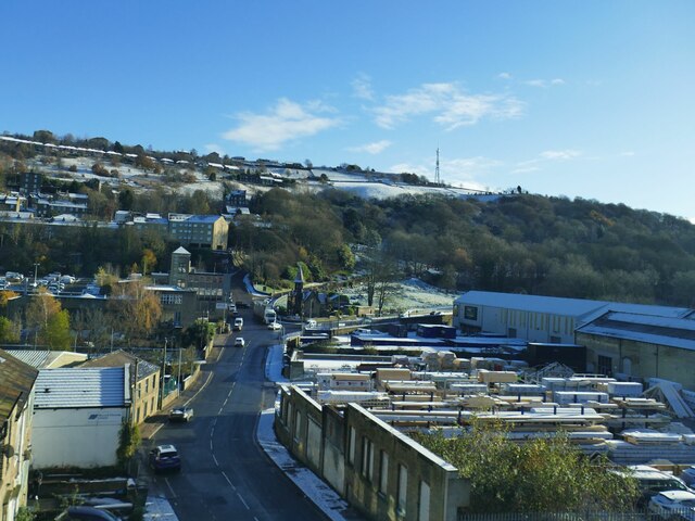
///format.edits.risks. Near Halifax, West Yorkshire
Nearby Locations
Related Wikis

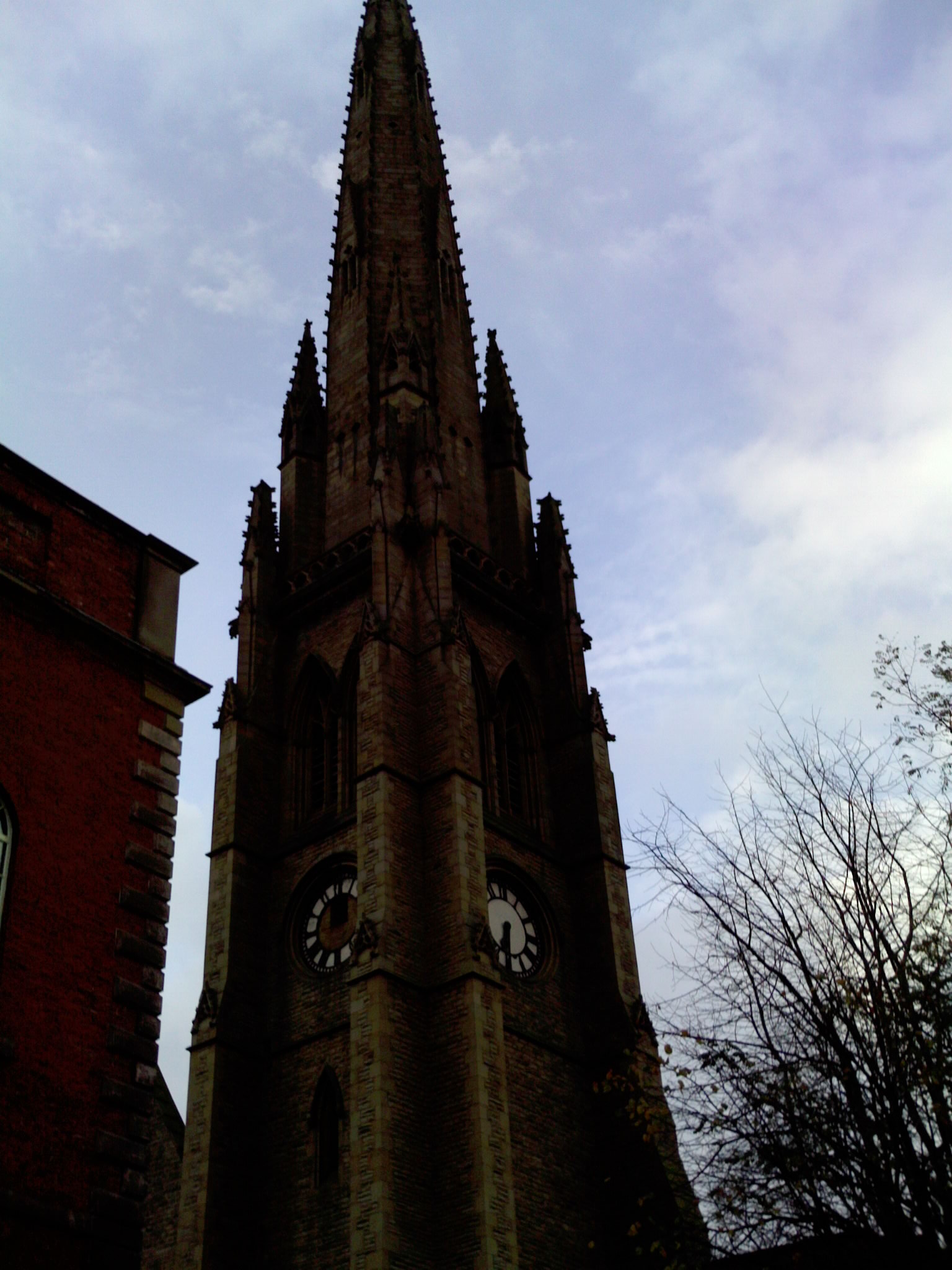
Halifax Minster
Halifax Minster is the minster church of Halifax, Calderdale, West Yorkshire, England. The church is dedicated to St John the Baptist. The parish church...

Halifax railway station (England)
Halifax railway station serves the town of Halifax in West Yorkshire, England. It lies on the Calder Valley line and is 17 miles (27 km) west from Leeds...

Shibden Valley
Shibden Valley (also known as Shibden Dale) is to the east of Halifax, West Yorkshire, England, where the community of Shibden lies. The name of the Shibden...
Square Chapel
The Square Chapel in Halifax, West Yorkshire, England, was designed by Thomas Bradley and James Kershaw at the instigation of Titus Knight, a local preacher...
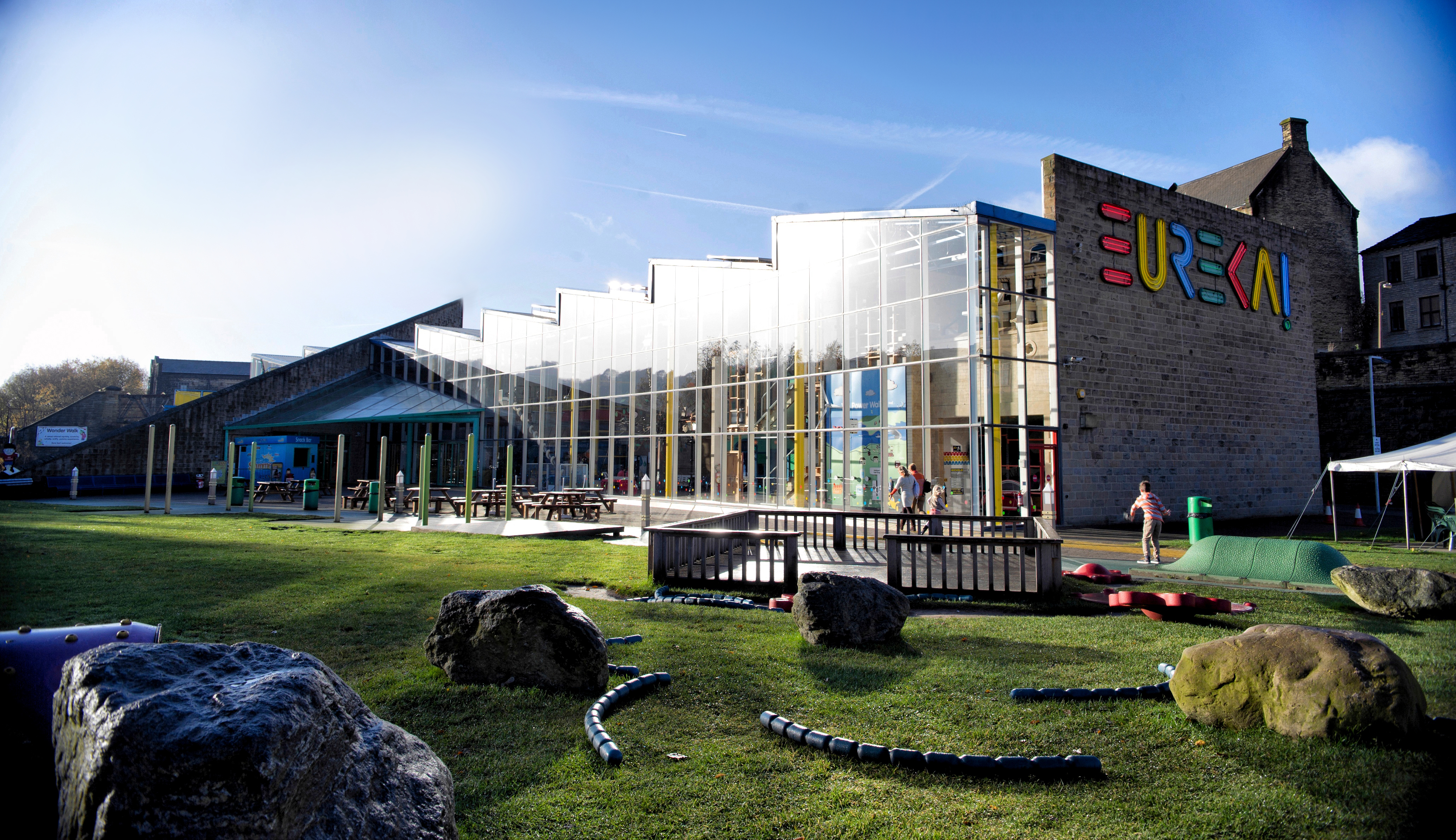
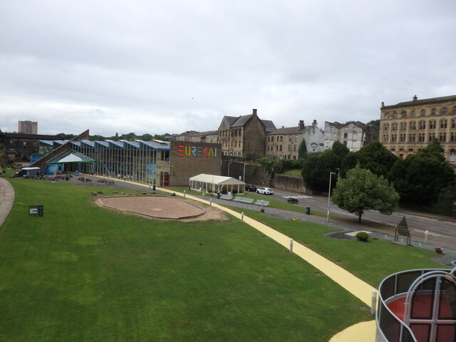
Eureka! (museum)
Eureka! The National Children's Museum is an interactive educational museum for children in Halifax, West Yorkshire, England, with a focus on learning...
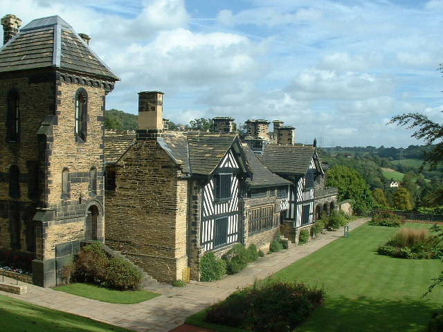
Shibden
Shibden is a small dispersed community in Calderdale, West Yorkshire, England. Shibden Hall has a north-west driveway to its lake, café and miniature railway...

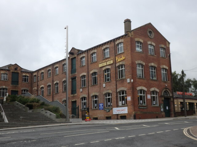
Calderdale Industrial Museum
Calderdale Industrial Museum is a museum in the town of Halifax, West Yorkshire, England, dedicated to the industrial heritage of the area. The museum...

Piece Hall
The Piece Hall is a Grade I listed building in Halifax, West Yorkshire, England. It was built as a cloth hall for handloom weavers to sell the woollen...
Nearby Amenities
Located within 500m of 53.722046,-1.8457664Have you been to Beacon Hill?
Leave your review of Beacon Hill below (or comments, questions and feedback).