Cumber's Bank
Settlement in Flintshire
Wales
Cumber's Bank
Cumber's Bank is a small village located in the county of Flintshire, in the northeast of Wales, United Kingdom. Situated near the border with England, it is nestled amidst the picturesque countryside, offering residents and visitors a serene and peaceful environment.
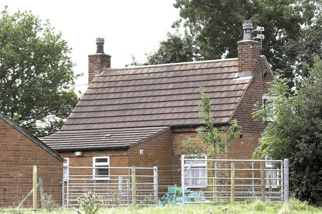
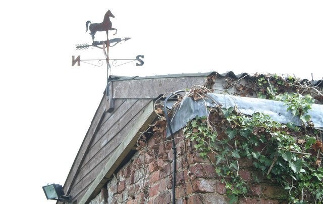
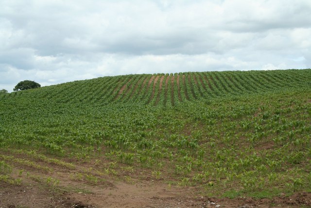
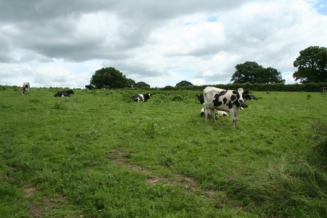
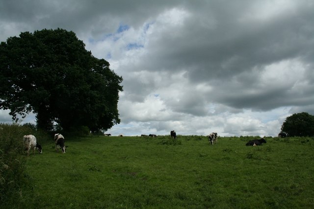
The village is known for its rich history, with records dating back to the medieval period. It was originally a farming community, and remnants of this agricultural heritage can still be seen today in the form of traditional stone cottages and farmhouses scattered throughout the area.
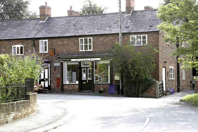
Cumber's Bank is home to a close-knit community, with a population of around 500 residents. The village boasts a range of amenities to cater to its inhabitants, including a local primary school, a community center, and a small convenience store. Additionally, there are several charming pubs and restaurants where locals and tourists can enjoy a hearty meal or relax with a drink.
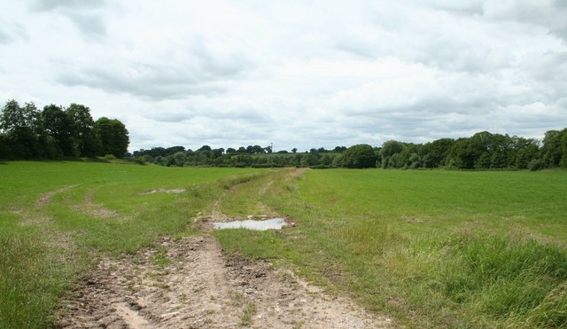
Nature enthusiasts will be delighted by the village's proximity to stunning natural landscapes. The surrounding area offers ample opportunities for outdoor activities, such as hiking, cycling, and birdwatching. The nearby River Dee also provides a scenic setting for fishing and boating enthusiasts.
Overall, Cumber's Bank is a tranquil village that embraces its rural heritage while also offering modern conveniences. Its idyllic location, rich history, and close community make it an attractive destination for those seeking a peaceful retreat in the heart of the Flintshire countryside.
If you have any feedback on the listing, please let us know in the comments section below.
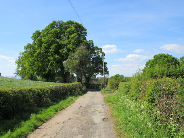
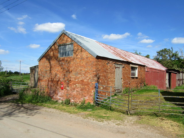
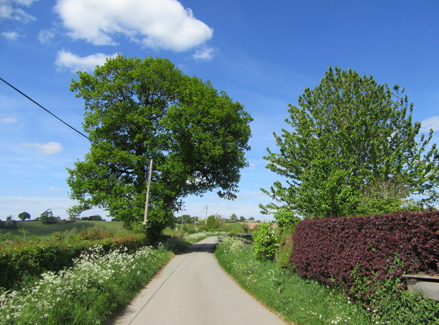
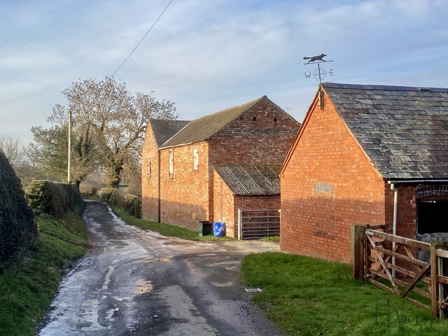
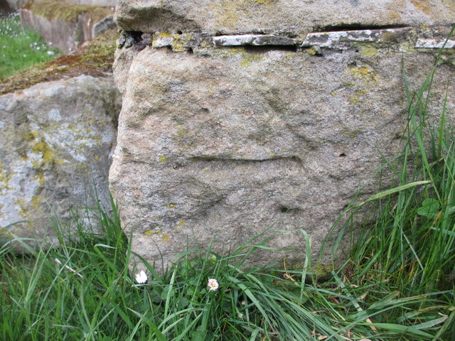
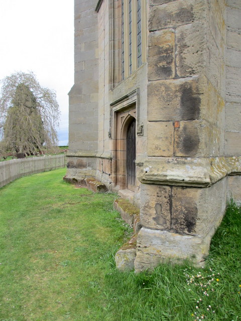
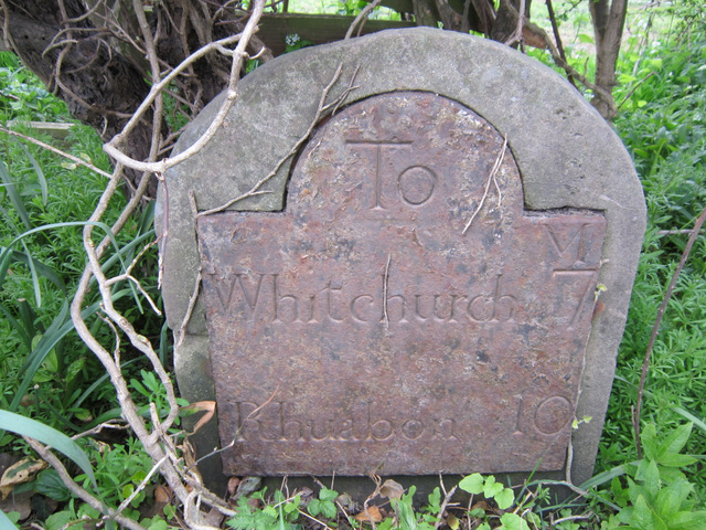
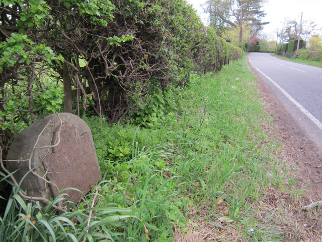
Cumber's Bank Images
Images are sourced within 2km of 52.949052/-2.826155 or Grid Reference SJ4439. Thanks to Geograph Open Source API. All images are credited.
Cumber's Bank is located at Grid Ref: SJ4439 (Lat: 52.949052, Lng: -2.826155)
Unitary Authority: Wrexham
Police Authority: North Wales
What 3 Words
///flocking.poets.stupidly. Near Ellesmere, Shropshire
Nearby Locations
Related Wikis

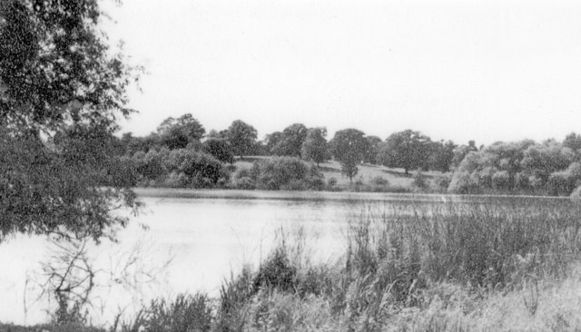
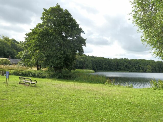
Hanmer Mere
Hanmer Mere (Welsh: Llyn Hanmer) is a natural lake and Site of Special Scientific Interest in Wrexham County Borough, Wales. The village of Hanmer is at...
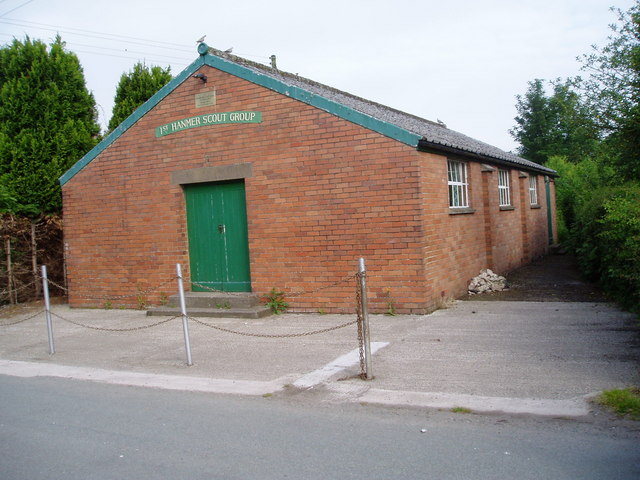
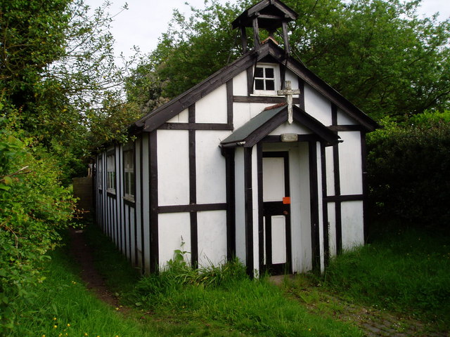
Hanmer, Wrexham
Hanmer is a village and community in Wrexham County Borough, Wales. At the 2001 Census the population of the Hanmer community area, which includes Hanmer...

Arowry
Arowry (Welsh: Yr Owredd) is a village in the community of Hanmer in the rural south-east of Wrexham County Borough, Wales, near the border with England...

Horseman's Green
Horseman's Green is a village in Wrexham County Borough, Wales. Located in the rural southeast of the county borough, it is close to the Wales-England...
Nearby Amenities
Located within 500m of 52.949052,-2.826155Have you been to Cumber's Bank?
Leave your review of Cumber's Bank below (or comments, questions and feedback).