Cumber's Wood
Wood, Forest in Flintshire
Wales
Cumber's Wood
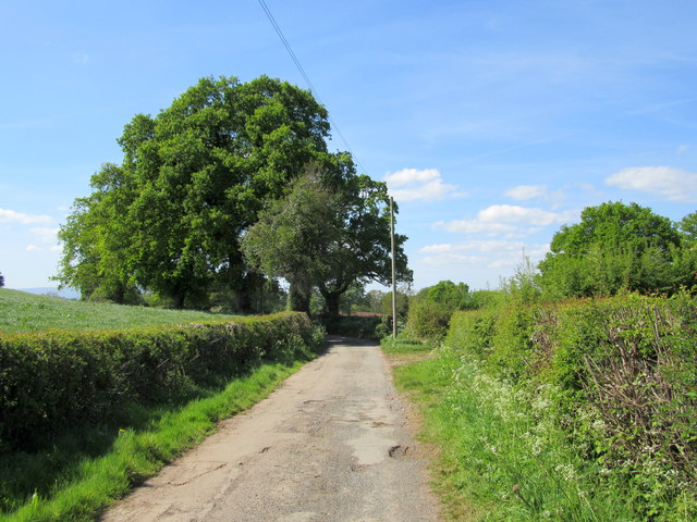
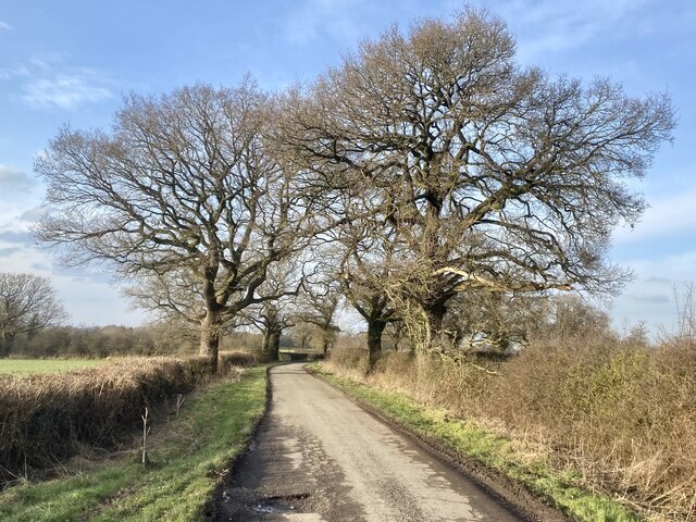
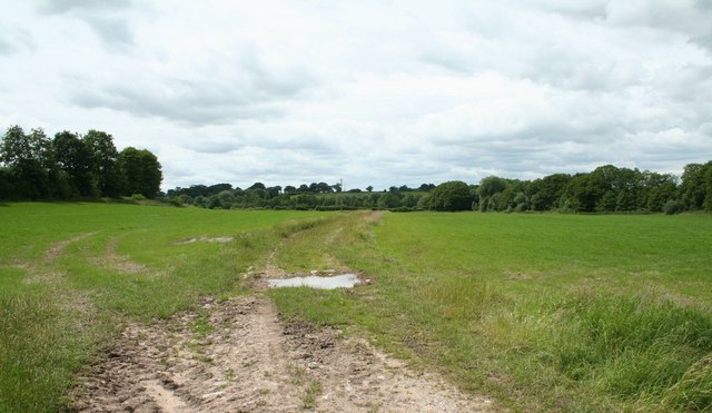
Cumber's Wood is a picturesque woodland located in the county of Flintshire, Wales. This enchanting forest spans over an area of approximately 100 acres and is known for its serene and untouched natural beauty. The wood is situated near the village of Cilcain, providing a peaceful and secluded setting for nature enthusiasts and hikers alike.
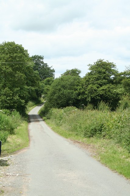
The woodland is predominantly made up of native broadleaf trees, such as oak, beech, and birch, which create a dense canopy overhead, allowing only dappled sunlight to filter through. This creates a cool and tranquil atmosphere, perfect for escaping the hustle and bustle of everyday life. The forest floor is covered in a thick carpet of moss, ferns, and wildflowers, adding to the magical ambiance of the wood.
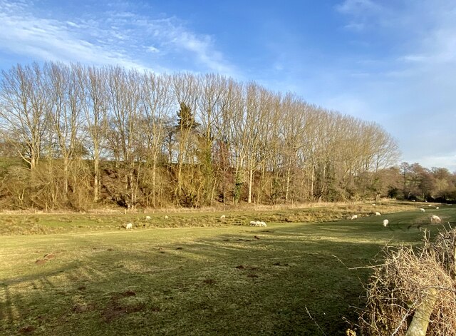
Cumber's Wood is home to a diverse range of wildlife, including numerous bird species, such as woodpeckers, owls, and various songbirds. The dense vegetation provides ample hiding spots for small mammals like squirrels, rabbits, and foxes. If lucky, visitors may even catch a glimpse of the elusive red deer that occasionally roam the area.
The wood is crisscrossed by a network of well-maintained trails, making it easily accessible for walkers and nature lovers. These paths wind through the woodland, offering stunning views of the surrounding landscape and opportunities for peaceful contemplation. Cumber's Wood is a popular destination for families, dog walkers, and photographers, providing a tranquil escape to reconnect with nature and enjoy the beauty of the Welsh countryside.
If you have any feedback on the listing, please let us know in the comments section below.
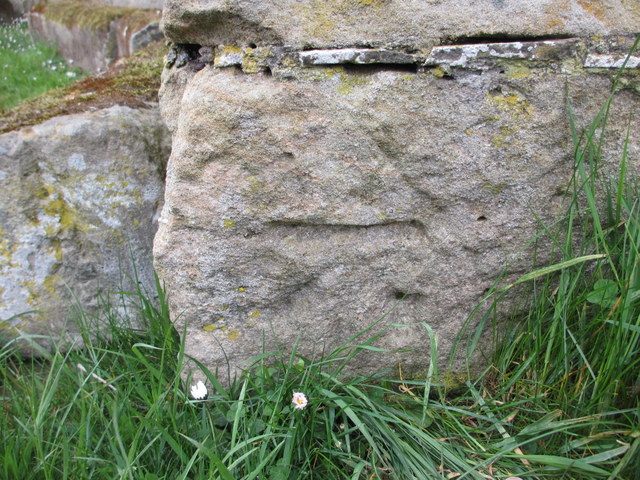
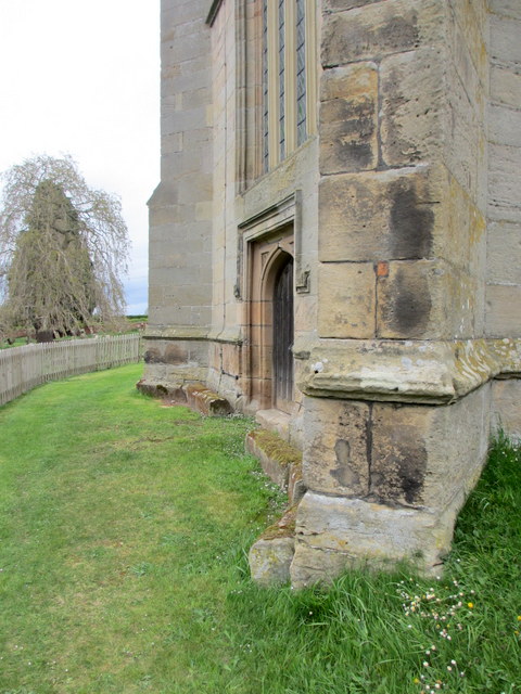
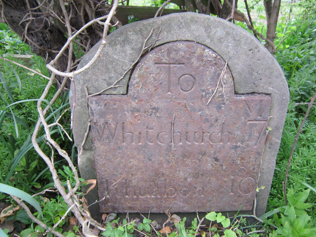
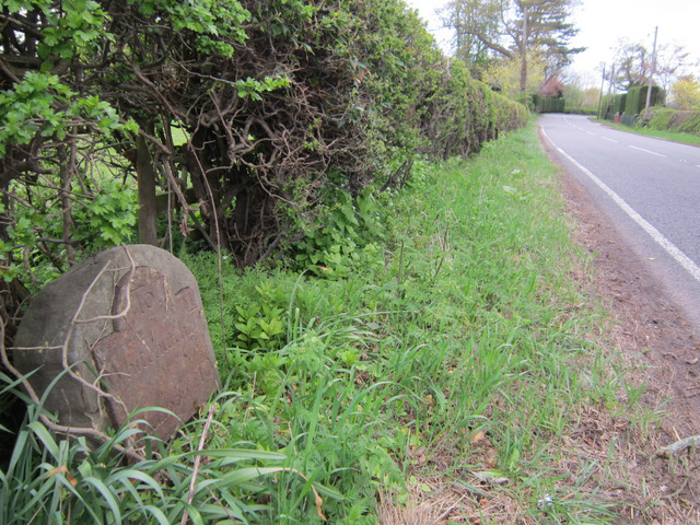
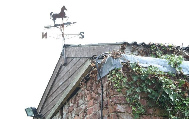
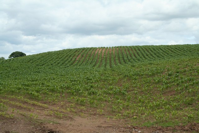
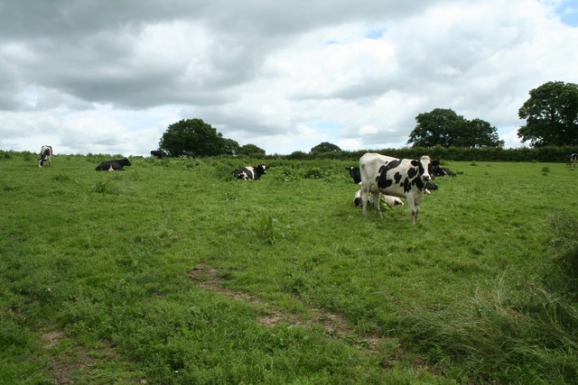
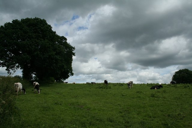
Cumber's Wood Images
Images are sourced within 2km of 52.949285/-2.8313878 or Grid Reference SJ4439. Thanks to Geograph Open Source API. All images are credited.
Cumber's Wood is located at Grid Ref: SJ4439 (Lat: 52.949285, Lng: -2.8313878)
Unitary Authority: Wrexham
Police Authority: North Wales
What 3 Words
///patrol.shampoos.empty. Near Ellesmere, Shropshire
Nearby Locations
Related Wikis

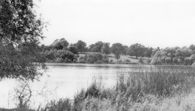
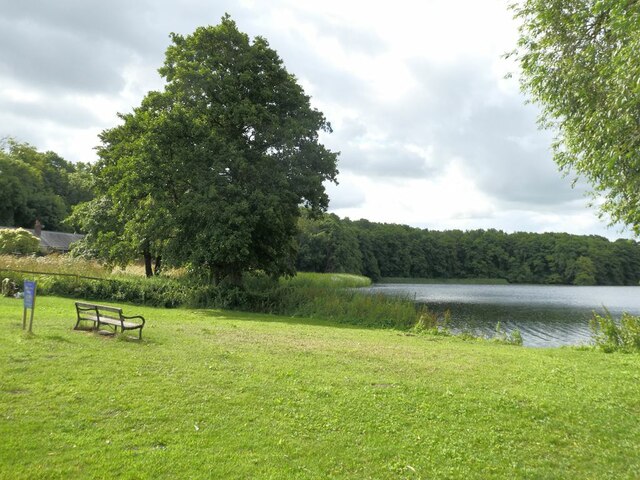
Hanmer Mere
Hanmer Mere (Welsh: Llyn Hanmer) is a natural lake and Site of Special Scientific Interest in Wrexham County Borough, Wales. The village of Hanmer is at...
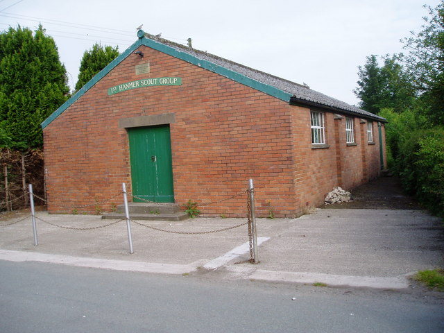
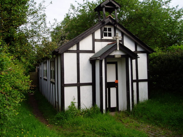
Hanmer, Wrexham
Hanmer is a village and community in Wrexham County Borough, Wales. At the 2001 Census the population of the Hanmer community area, which includes Hanmer...

Arowry
Arowry (Welsh: Yr Owredd) is a village in the community of Hanmer in the rural south-east of Wrexham County Borough, Wales, near the border with England...

Horseman's Green
Horseman's Green is a village in Wrexham County Borough, Wales. Located in the rural southeast of the county borough, it is close to the Wales-England...
Nearby Amenities
Located within 500m of 52.949285,-2.8313878Have you been to Cumber's Wood?
Leave your review of Cumber's Wood below (or comments, questions and feedback).