Gardner's Gorse
Wood, Forest in Flintshire
Wales
Gardner's Gorse
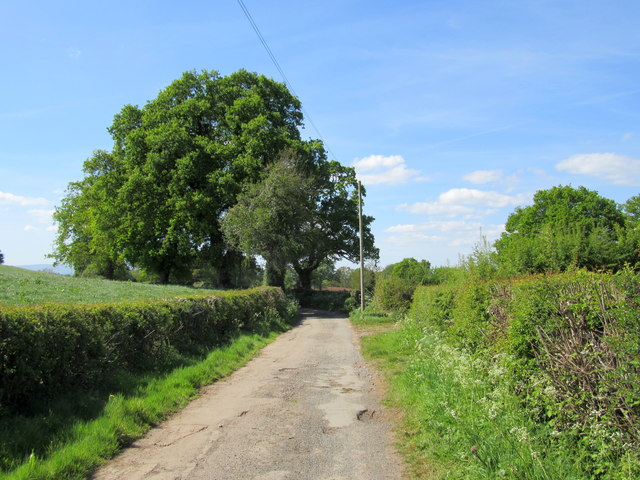
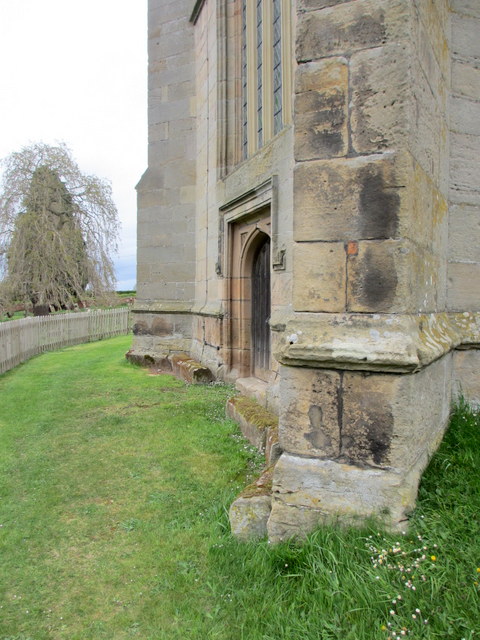
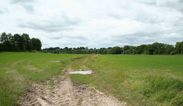
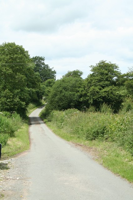
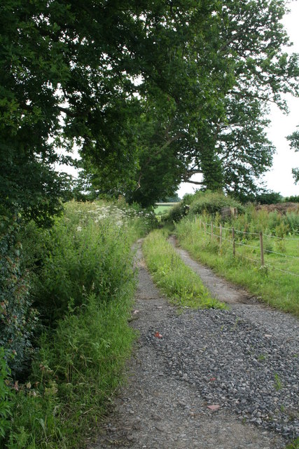
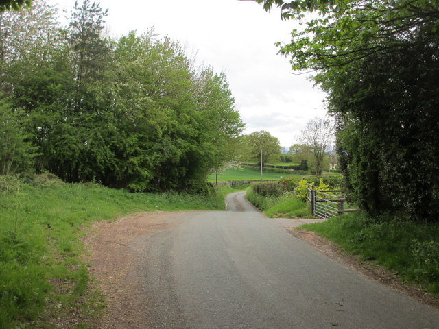
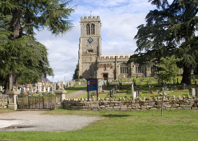
Gardner's Gorse is a woodland area located in Flintshire, Wales. The gorse itself is a type of shrub that is commonly found in this region, giving the area its name. The woodland is a mix of mature trees, including oak, beech, and birch, as well as a variety of smaller plants and wildlife.
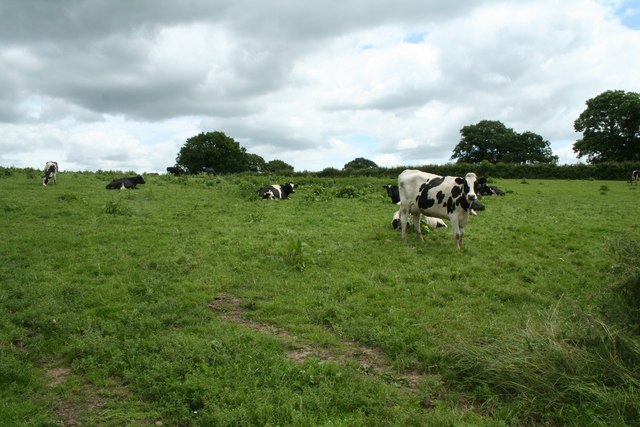
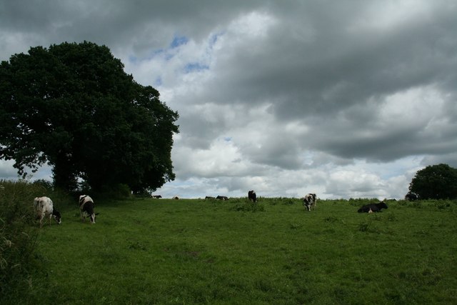
The forest is a popular spot for walking, hiking, and birdwatching, with several well-maintained trails that wind through the trees. Visitors can expect to see a variety of bird species, including woodpeckers, warblers, and thrushes, as well as small mammals such as squirrels and rabbits.
Gardner's Gorse is also known for its diverse flora, with an array of wildflowers that bloom throughout the year. In the spring, bluebells and primroses carpet the forest floor, while in the summer, foxgloves and ferns thrive in the dappled sunlight.
Overall, Gardner's Gorse is a peaceful and picturesque woodland area that offers visitors a chance to escape the hustle and bustle of daily life and immerse themselves in the beauty of nature.
If you have any feedback on the listing, please let us know in the comments section below.
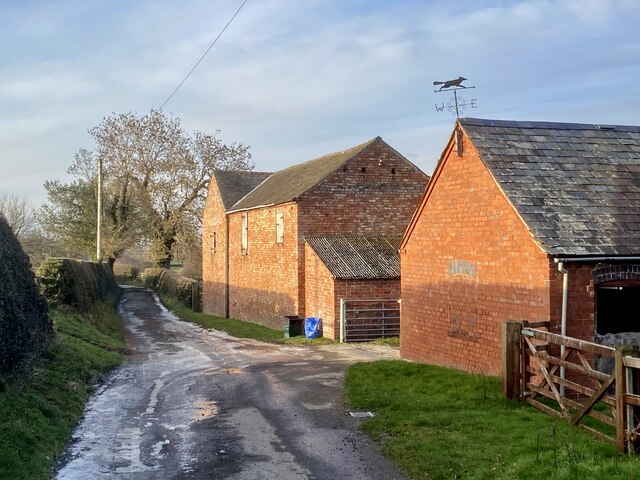
Gardner's Gorse Images
Images are sourced within 2km of 52.946687/-2.8263375 or Grid Reference SJ4439. Thanks to Geograph Open Source API. All images are credited.
Gardner's Gorse is located at Grid Ref: SJ4439 (Lat: 52.946687, Lng: -2.8263375)
Unitary Authority: Wrexham
Police Authority: North Wales
What 3 Words
///searcher.afterglow.issued. Near Ellesmere, Shropshire
Nearby Locations
Related Wikis

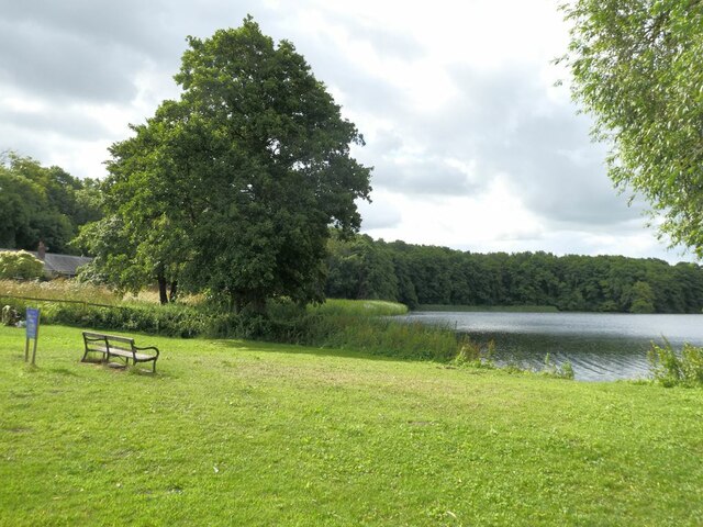
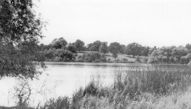
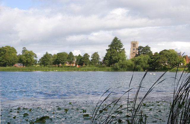
Hanmer Mere
Hanmer Mere (Welsh: Llyn Hanmer) is a natural lake and Site of Special Scientific Interest in Wrexham County Borough, Wales. The village of Hanmer is at...
Hanmer, Wrexham
Hanmer is a village and community in Wrexham County Borough, Wales. At the 2001 Census the population of the Hanmer community area, which includes Hanmer...

Arowry
Arowry (Welsh: Yr Owredd) is a village in the community of Hanmer in the rural south-east of Wrexham County Borough, Wales, near the border with England...

Horseman's Green
Horseman's Green is a village in Wrexham County Borough, Wales. Located in the rural southeast of the county borough, it is close to the Wales-England...
Nearby Amenities
Located within 500m of 52.946687,-2.8263375Have you been to Gardner's Gorse?
Leave your review of Gardner's Gorse below (or comments, questions and feedback).