Gravel Pit Plantation
Wood, Forest in Flintshire
Wales
Gravel Pit Plantation
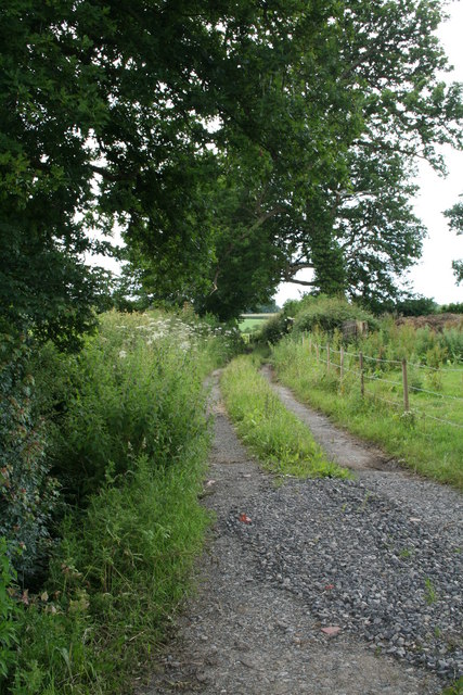
Gravel Pit Plantation is a woodland area located in Flintshire, Wales. Spanning over an expansive area, it is considered one of the significant woodlands in the region. The plantation is named after the previous gravel extraction that took place in the area, adding an interesting historical element to its identity.
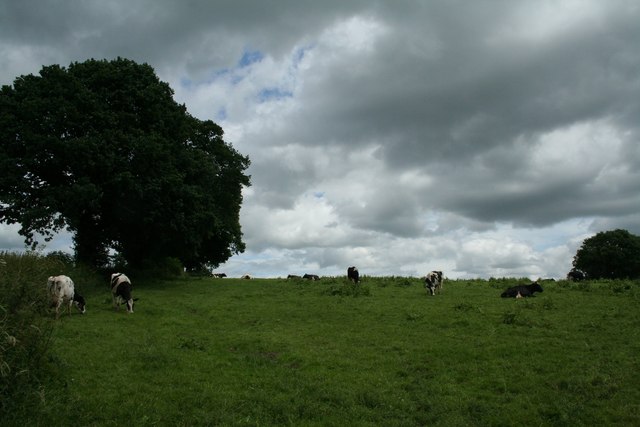
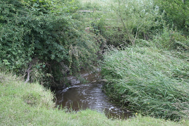
The woodland predominantly consists of a mixture of broadleaved and coniferous trees, creating a diverse and vibrant ecosystem. Visitors can witness the beauty of various tree species, including oak, beech, birch, pine, and spruce, among others. The rich variety of trees not only enhances the aesthetic appeal but also provides a suitable habitat for a wide range of flora and fauna.
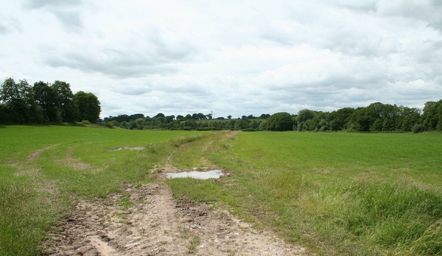
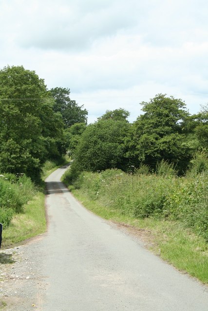
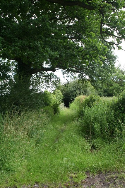
Nature enthusiasts and walkers often frequent Gravel Pit Plantation due to its well-maintained paths and trails. As visitors explore the forest, they can encounter an array of wildlife, such as squirrels, birds, and even deer. This makes the woodland a popular spot for birdwatching and wildlife photography.
The woodland management team ensures the preservation of the plantation's natural beauty while also engaging in sustainable practices. This includes regular tree maintenance, planting new saplings, and managing invasive species to maintain the overall health and balance of the ecosystem.
Gravel Pit Plantation is not only a haven for nature lovers but also serves as a valuable educational resource for schools and local communities. It offers opportunities for outdoor learning, environmental awareness, and organized activities like guided walks and forest schools.
Overall, Gravel Pit Plantation in Flintshire stands as a testament to the beauty and importance of woodland preservation, providing a tranquil escape for visitors while fostering a thriving ecosystem.
If you have any feedback on the listing, please let us know in the comments section below.
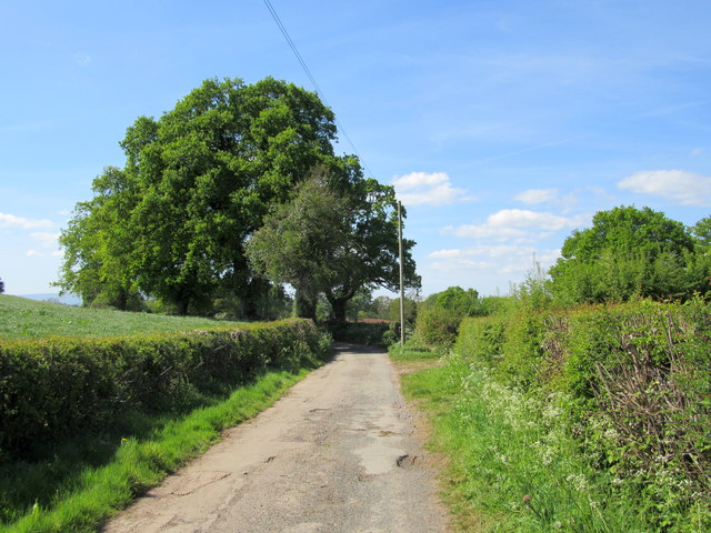
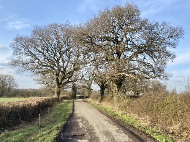
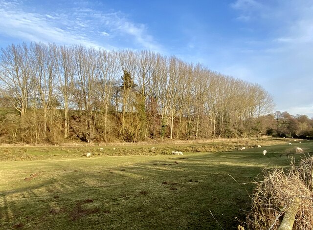
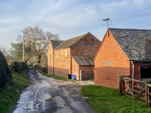
Gravel Pit Plantation Images
Images are sourced within 2km of 52.948138/-2.8346996 or Grid Reference SJ4439. Thanks to Geograph Open Source API. All images are credited.
Gravel Pit Plantation is located at Grid Ref: SJ4439 (Lat: 52.948138, Lng: -2.8346996)
Unitary Authority: Wrexham
Police Authority: North Wales
What 3 Words
///typist.plans.apart. Near Ellesmere, Shropshire
Nearby Locations
Related Wikis

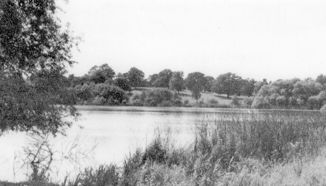
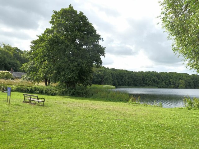
Hanmer Mere
Hanmer Mere (Welsh: Llyn Hanmer) is a natural lake and Site of Special Scientific Interest in Wrexham County Borough, Wales. The village of Hanmer is at...
Hanmer, Wrexham
Hanmer is a village and community in Wrexham County Borough, Wales. At the 2001 Census the population of the Hanmer community area, which includes Hanmer...

Arowry
Arowry (Welsh: Yr Owredd) is a village in the community of Hanmer in the rural south-east of Wrexham County Borough, Wales, near the border with England...

Horseman's Green
Horseman's Green is a village in Wrexham County Borough, Wales. Located in the rural southeast of the county borough, it is close to the Wales-England...
Nearby Amenities
Located within 500m of 52.948138,-2.8346996Have you been to Gravel Pit Plantation?
Leave your review of Gravel Pit Plantation below (or comments, questions and feedback).