Windmill Wood

Wood, Forest in Monmouthshire

Wales

Windmill Wood

The Rock and Fountain Inn, Penhow Beside the A48.
The Rock and Fountain Inn, Penhow Credit: Eirian Evans

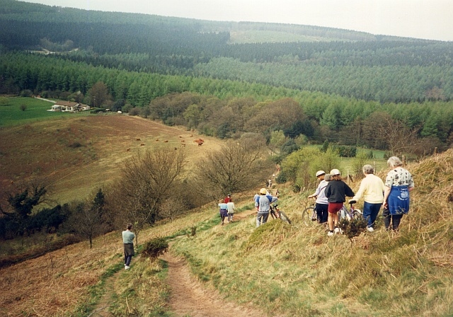
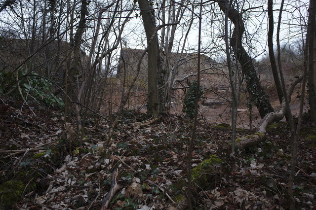
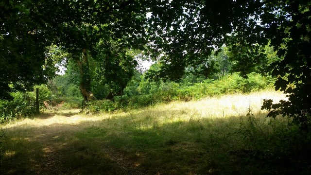
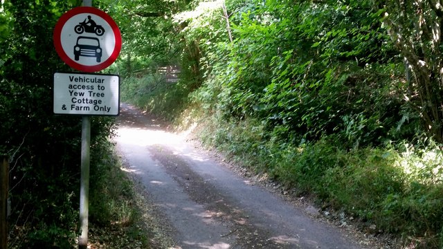
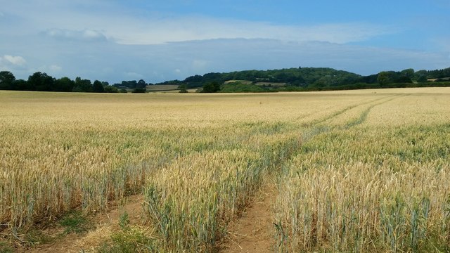
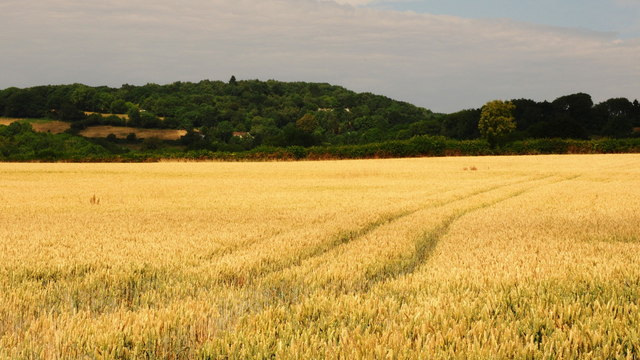
Windmill Wood is a picturesque forest located in Monmouthshire, Wales. Covering an area of approximately 20 acres, this woodland is known for its diverse range of tree species including oak, beech, and birch. It is a popular destination for nature lovers, hikers, and bird watchers.

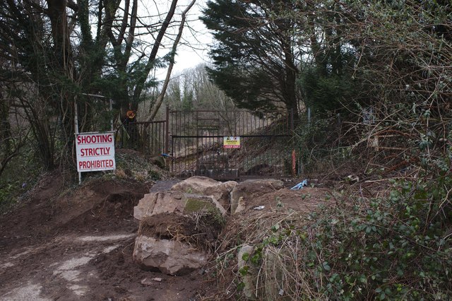
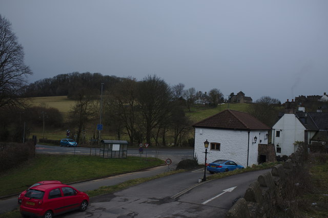
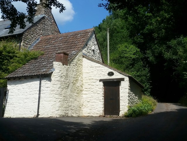
The forest gets its name from the old windmill that once stood on the site, which has now been converted into a viewing platform offering stunning panoramic views of the surrounding countryside. Visitors can enjoy walking along the well-maintained trails that wind through the woodland, taking in the sights and sounds of nature.

Windmill Wood is home to a variety of wildlife including deer, squirrels, and a wide range of bird species. Bird watchers can spot woodpeckers, nuthatches, and buzzards among others. The forest is also home to a number of rare plant species, adding to its ecological importance.

Overall, Windmill Wood is a tranquil and beautiful natural area that offers visitors a chance to escape the hustle and bustle of everyday life and immerse themselves in the beauty of the Welsh countryside.

If you have any feedback on the listing, please let us know in the comments section below.

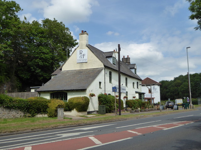
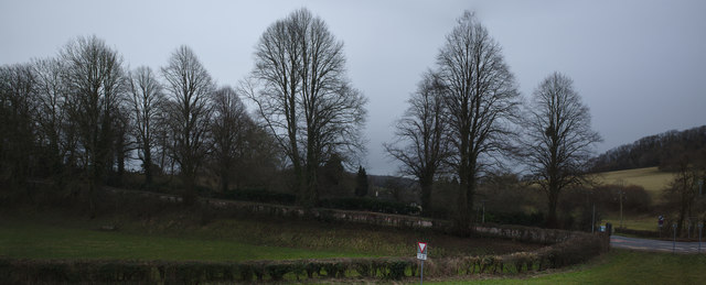
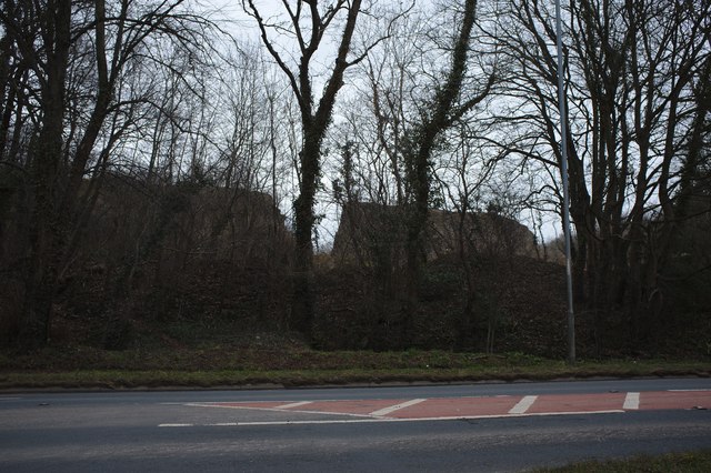
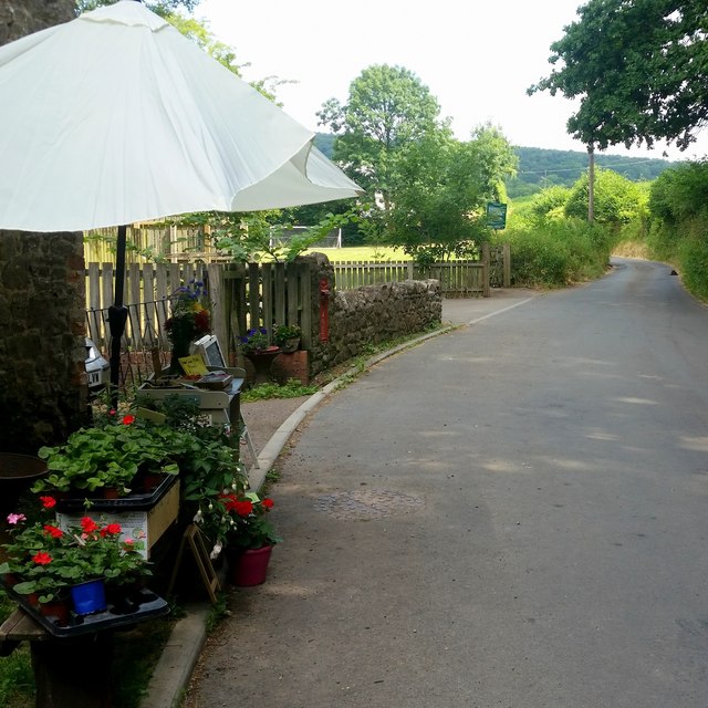
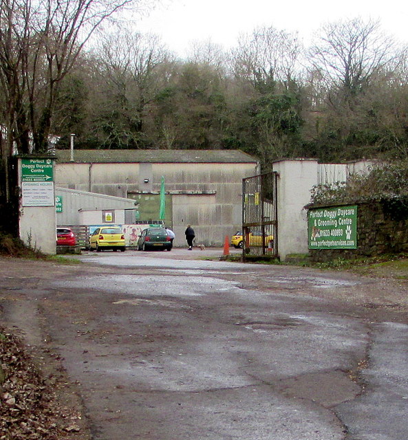
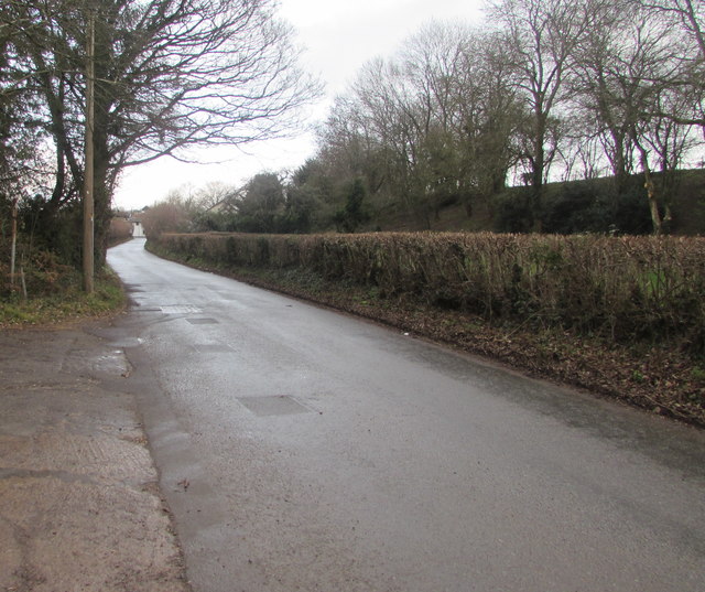
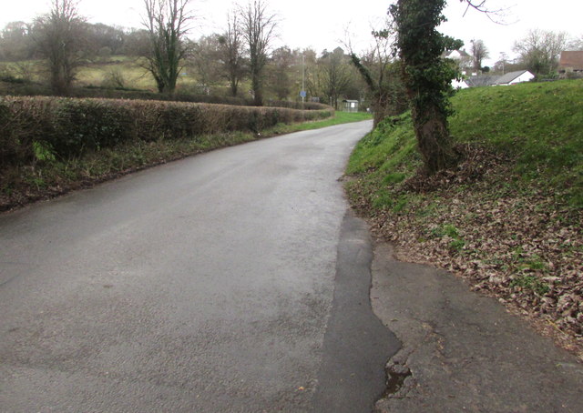
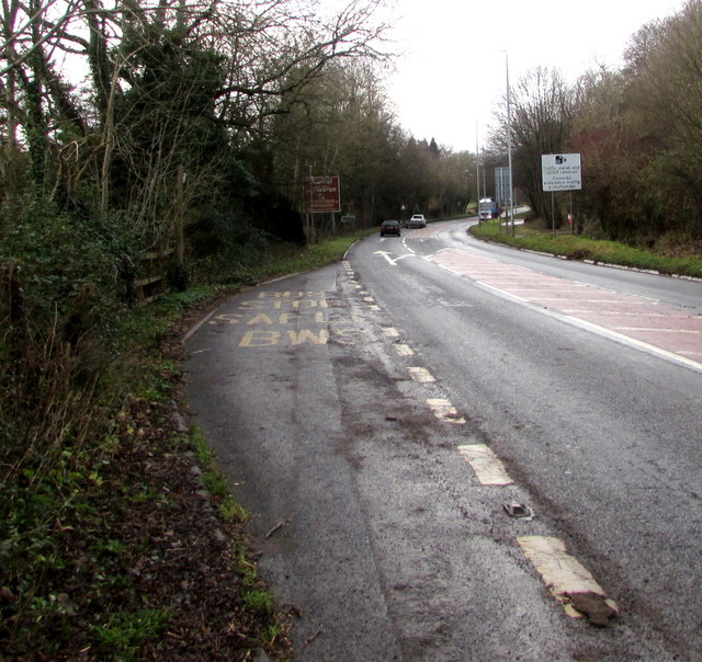
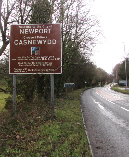
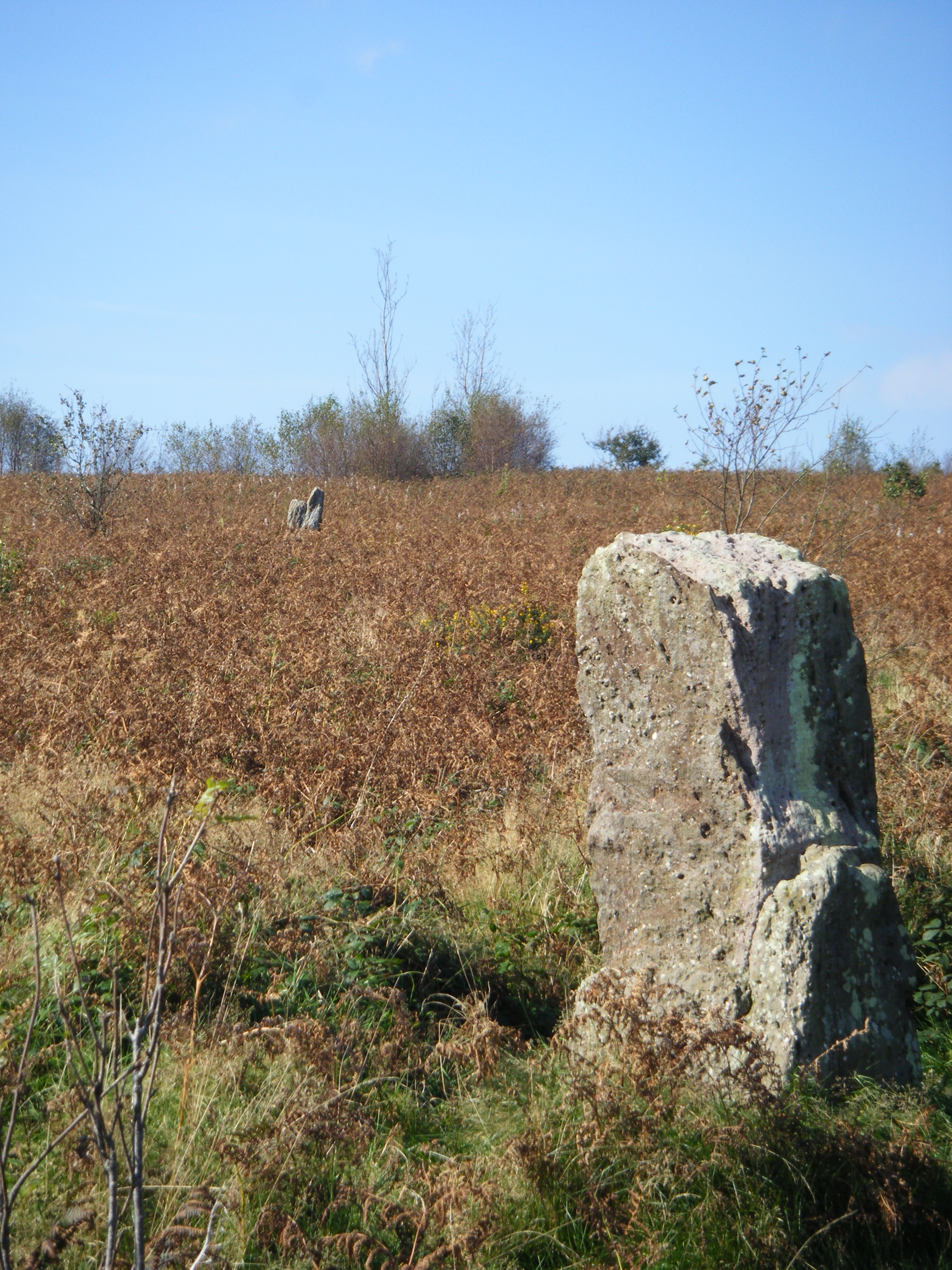
Windmill Wood Images

Images are sourced within 2km of 51.625421/-2.8102687 or Grid Reference ST4492. Thanks to Geograph Open Source API. All images are credited.

The Rock and Fountain Inn, Penhow Beside the A48.
The Rock and Fountain Inn, Penhow
Beside the A48.
Descending Gray Hill Overlooking Wentwood.
See <a title="https://www.geograph.org.uk/photo/1097852" href="https://www.geograph.org.uk/photo/1097852">Link</a> for a similar view 13 years later.
Descending Gray Hill
Overlooking Wentwood. See Link for a similar view 13 years later.
Row of trees
Row of trees
Quarry wall A curious ring wall left around a quarry, and then breached.
Quarry wall
A curious ring wall left around a quarry, and then breached.
Disused Quarry Another view of <a href="https://www.geograph.org.uk/photo/5703090">ST4291 : Quarry wall</a>
Disused Quarry
Another view of ST4291 : Quarry wall
Quarry entrance a series of stern warnings
Quarry entrance
a series of stern warnings
Barn at the Rock and Fountain Inn This is an ancient monument, a 17th century barn and stable
<span class="nowrap"><a title="http://map.coflein.gov.uk/index.php?action=do_details&numlink=43361" rel="nofollow ugc noopener" href="http://map.coflein.gov.uk/index.php?action=do_details&numlink=43361">Link</a><img style="margin-left:2px;" alt="External link" title="External link - shift click to open in new window" src="https://s1.geograph.org.uk/img/external.png" width="10" height="10"/></span>
Barn at the Rock and Fountain Inn
This is an ancient monument, a 17th century barn and stable LinkExternal link
Path to the common ground Crossing a bright sunlit grassy field,
Path to the common ground
Crossing a bright sunlit grassy field,
Vehicular access Best believe it; park up here and enjoy the walk.
Vehicular access
Best believe it; park up here and enjoy the walk.
Tile House Farm The substantial building is next to the road that leads to the Gray Hill access area.
Tile House Farm
The substantial building is next to the road that leads to the Gray Hill access area.
Ripening wheat An arable field to the west of Llanfair-Discoed and east of Llanvaches.
Ripening wheat
An arable field to the west of Llanfair-Discoed and east of Llanvaches.
Ripening wheat, 2 Telephoto shot from the same spot as <a href="https://www.geograph.org.uk/photo/5849974">ST4392 : Ripening wheat</a>.
The wooded hill in the distance is at Castell-prin Wood.
Ripening wheat, 2
Telephoto shot from the same spot as ST4392 : Ripening wheat. The wooded hill in the distance is at Castell-prin Wood.
Rectory Road, Llanvaches An honesty-based sale-table is here with some very good produce and plants for sale.
Rectory Road, Llanvaches
An honesty-based sale-table is here with some very good produce and plants for sale.
Perfect Doggy Daycare & Grooming Centre, Llanvaches Set back from Pike Road, viewed in January 2019. Penhow Film Studio <a title="https://www.geograph.org.uk/photo/3935768" href="https://www.geograph.org.uk/photo/3935768">Link</a> was here in 2012.
Perfect Doggy Daycare & Grooming Centre, Llanvaches
Set back from Pike Road, viewed in January 2019. Penhow Film Studio Link was here in 2012.
Pike Road, Llanvaches Looking to the northeast along Pike Road towards Old Turnpike Cottages. <a title="https://www.geograph.org.uk/photo/3782406" href="https://www.geograph.org.uk/photo/3782406">Link</a>
Pike Road, Llanvaches
Looking to the northeast along Pike Road towards Old Turnpike Cottages. Link
Pike Road towards the A48, Llanvaches Ahead for the Rock & Fountain and Penhow.
Pike Road towards the A48, Llanvaches
Ahead for the Rock & Fountain and Penhow.
A48 bus stop, Penhow For buses to Newport.
A48 bus stop, Penhow
For buses to Newport.
Welcome to the City of Newport Facing Monmouthshire, the sign is alongside the A48 at eastern edge of the City of Newport in January 2019. The English/Welsh sign has replaced this one <a title="https://www.geograph.org.uk/photo/3359969" href="https://www.geograph.org.uk/photo/3359969">Link</a> photographed in February 2012.
Welcome to the City of Newport
Facing Monmouthshire, the sign is alongside the A48 at eastern edge of the City of Newport in January 2019. The English/Welsh sign has replaced this one Link photographed in February 2012.
Show me another place!

Windmill Wood is located at Grid Ref: ST4492 (Lat: 51.625421, Lng: -2.8102687)

Unitary Authority: Newport

Police Authority: Gwent

What 3 Words

///interacts.gravel.squabbles. Near Llanvaches, Newport

Related Wikis

Llanvaches

Llanvaches or Llanfaches is a village and community parish within the boundaries of the city of Newport, Wales. It lies to the east of the urban area...

Llanvair Discoed

Llanvair Discoed (Welsh: Llanfair Is Coed) is a small village in Monmouthshire, south-east Wales, 6 miles west of Chepstow and 10 miles east of Newport...

Wentwood

Wentwood (Welsh: Coed Gwent), in Monmouthshire, South Wales, is a forested area of hills, rising to 1,014 feet (309 m) above sea level. It is located to...

Gray Hill, Monmouthshire

Gray Hill (Welsh: Mynydd Llwyd) is a hill immediately to the north of the village of Llanvair Discoed, Monmouthshire, South Wales, rising to 896 feet...

Nearby Amenities

Located within 500m of 51.625421,-2.8102687
The data included in this document is from www.openstreetmap.org. The data is made available under ODbL.

Have you been to Windmill Wood?

Leave your review of Windmill Wood below (or comments, questions and feedback).