Vineyard Wood
Wood, Forest in Monmouthshire
Wales
Vineyard Wood
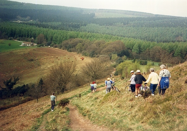
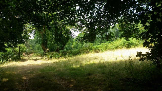
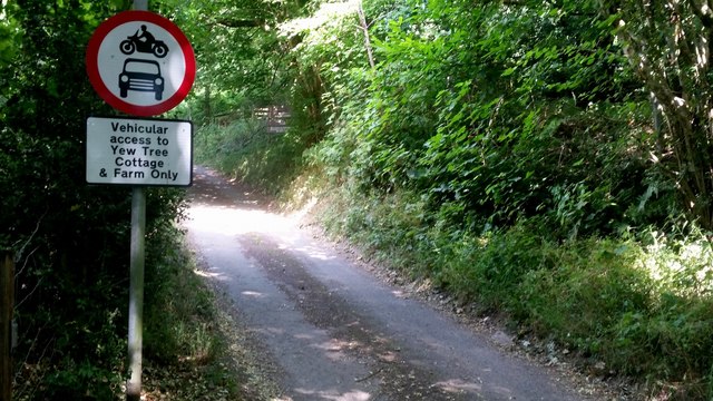
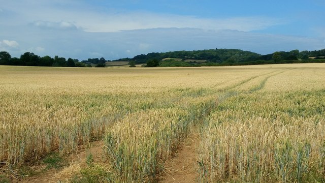
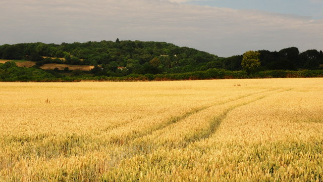
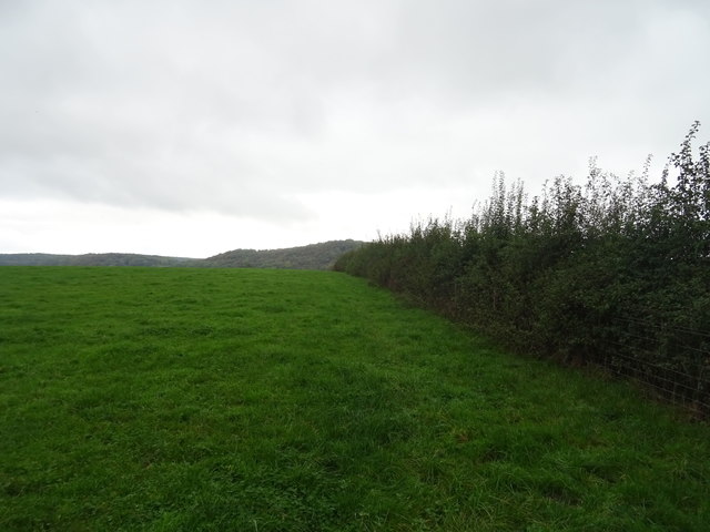
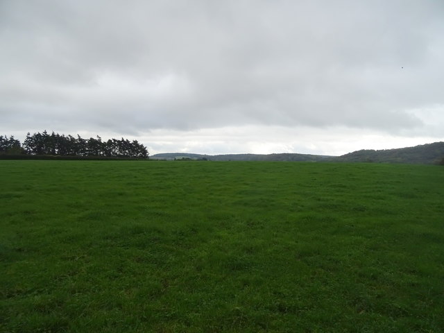
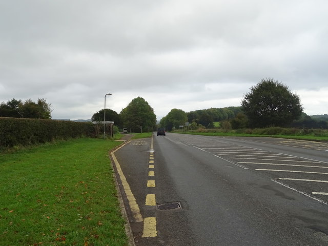
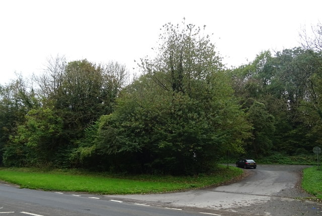
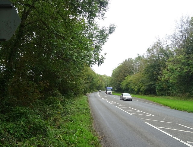
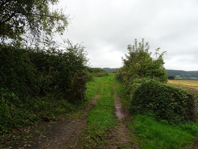
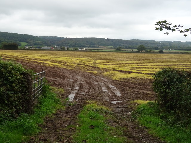
Vineyard Wood is a picturesque and sprawling forest located in Monmouthshire, Wales. Covering an extensive area, it is known for its dense vegetation and diverse range of tree species. The wood is situated near the small village of Vineyard, hence its name, and serves as a popular recreational spot for locals and visitors alike.
The forest boasts a rich history, dating back centuries. It was originally part of the vast royal hunting grounds and has since been carefully preserved and managed by local authorities. As a result, Vineyard Wood offers a tranquil and well-maintained environment, attracting nature enthusiasts, hikers, and photographers to explore its natural beauty.
The wood is predominantly composed of broadleaf trees such as oak, beech, and ash, creating a vibrant canopy that provides shelter and habitat to a variety of wildlife. Walking along the well-marked trails, visitors may encounter squirrels, rabbits, and a plethora of bird species, making it an ideal spot for birdwatching. Additionally, the forest floor is adorned with a colorful display of wildflowers during the spring and summer months, adding to the allure of Vineyard Wood.
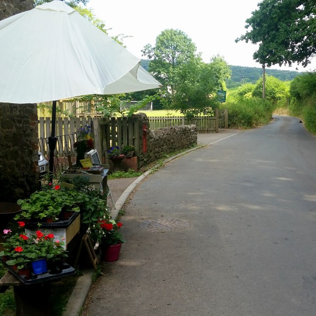
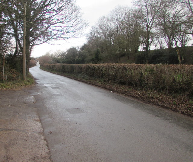
The forest's location in the heart of Monmouthshire offers visitors the opportunity to combine a visit to Vineyard Wood with exploring the surrounding countryside, including nearby vineyards and historical sites. Whether it's a leisurely stroll, a picnic, or a chance to reconnect with nature, Vineyard Wood provides a peaceful and enchanting escape for all who venture into its embrace.
If you have any feedback on the listing, please let us know in the comments section below.
Vineyard Wood Images
Images are sourced within 2km of 51.625322/-2.8038095 or Grid Reference ST4492. Thanks to Geograph Open Source API. All images are credited.
Vineyard Wood is located at Grid Ref: ST4492 (Lat: 51.625322, Lng: -2.8038095)
Unitary Authority: Monmouthshire
Police Authority: Gwent
What 3 Words
///kinds.sensitive.relate. Near Llanvaches, Newport
Nearby Locations
Related Wikis

Llanvair Discoed
Llanvair Discoed (Welsh: Llanfair Is Coed) is a small village in Monmouthshire, south-east Wales, 6 miles west of Chepstow and 10 miles east of Newport...

Llanvaches
Llanvaches or Llanfaches is a village and community parish within the boundaries of the city of Newport, Wales. It lies to the east of the urban area...
Gray Hill, Monmouthshire
Gray Hill (Welsh: Mynydd Llwyd) is a hill immediately to the north of the village of Llanvair Discoed, Monmouthshire, South Wales, rising to 896 feet...

Wentwood
Wentwood (Welsh: Coed Gwent), in Monmouthshire, South Wales, is a forested area of hills, rising to 1,014 feet (309 m) above sea level. It is located to...
Penhow
Penhow (Welsh: Pen-hŵ) is a small village and community (parish) just inside the eastern edge of the boundary of the city of Newport, South Wales, within...

Penhow Castle
Penhow Castle, Penhow, Newport dates from the early 12th century. Extended and reconstructed in almost every century since, it has been claimed to be the...

Caerwent Training Area
Caerwent Training Area is a British military installation at Caerwent, Monmouthshire, Wales. The large military site is situated north of the A48 road...
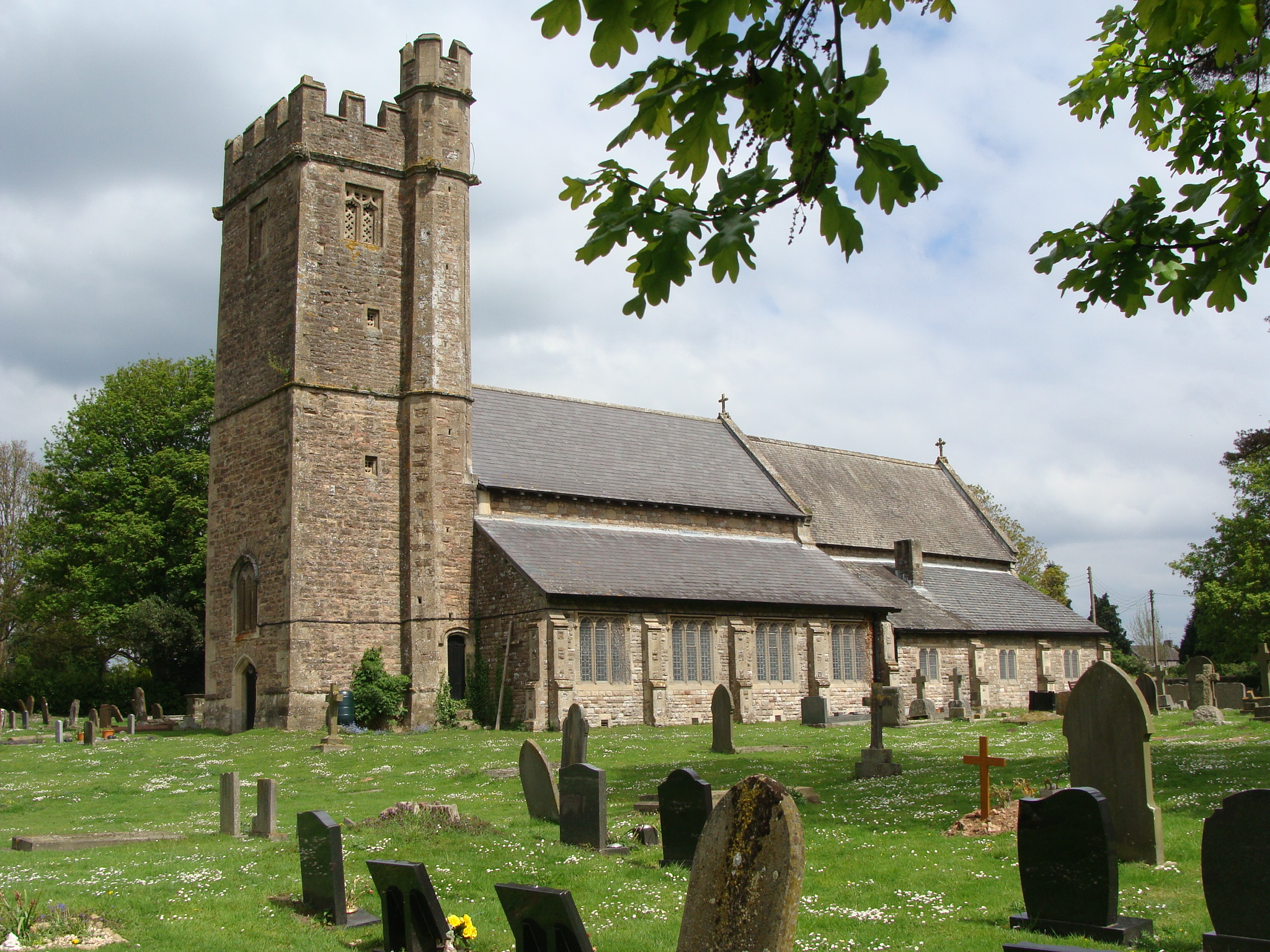
Church of St Stephen and St Tathan, Caerwent
The Church of St Stephen and St Tathan, Caerwent, Monmouthshire, is a parish church with datable origins to the 13th century. It is believed to be one...
Nearby Amenities
Located within 500m of 51.625322,-2.8038095Have you been to Vineyard Wood?
Leave your review of Vineyard Wood below (or comments, questions and feedback).