Llanfair Isgoed

Settlement in Monmouthshire

Wales

Llanfair Isgoed

Descending Gray Hill Overlooking Wentwood.
See <a title="https://www.geograph.org.uk/photo/1097852" href="https://www.geograph.org.uk/photo/1097852">Link</a> for a similar view 13 years later.
Descending Gray Hill Credit: Robin Drayton

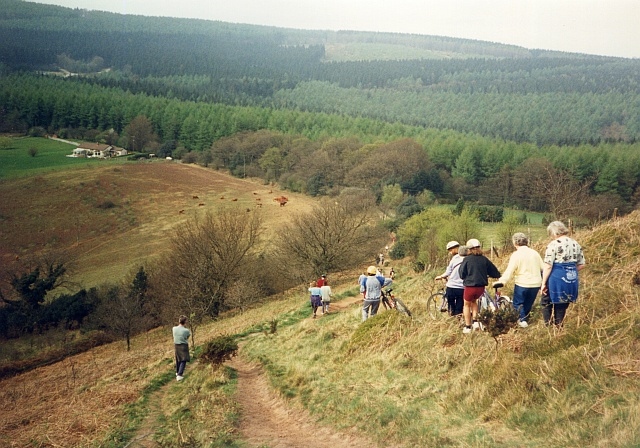
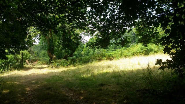
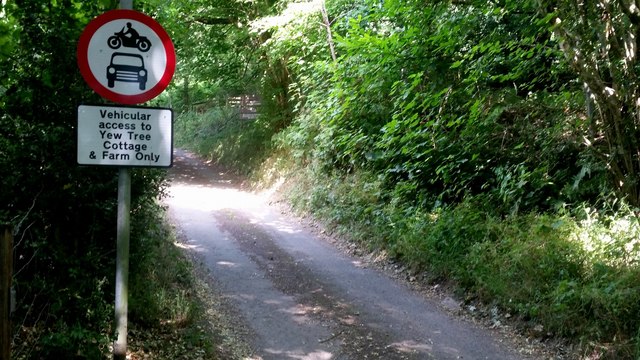
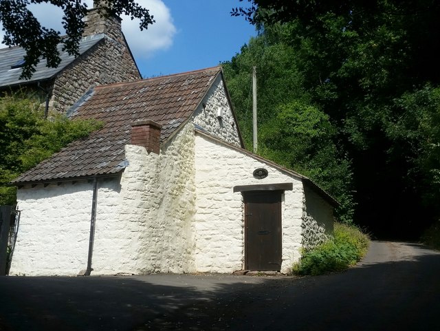
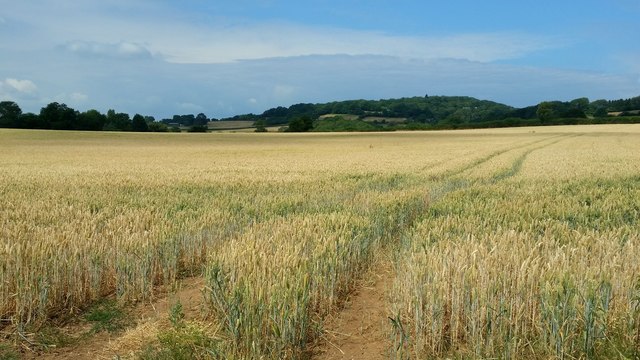
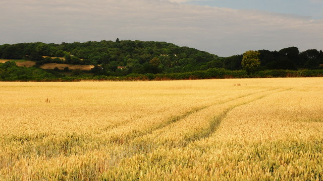
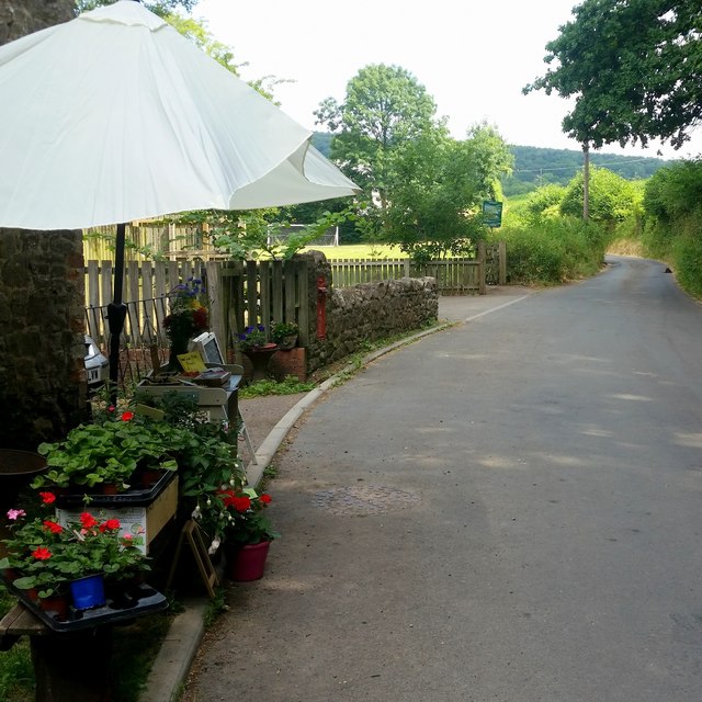
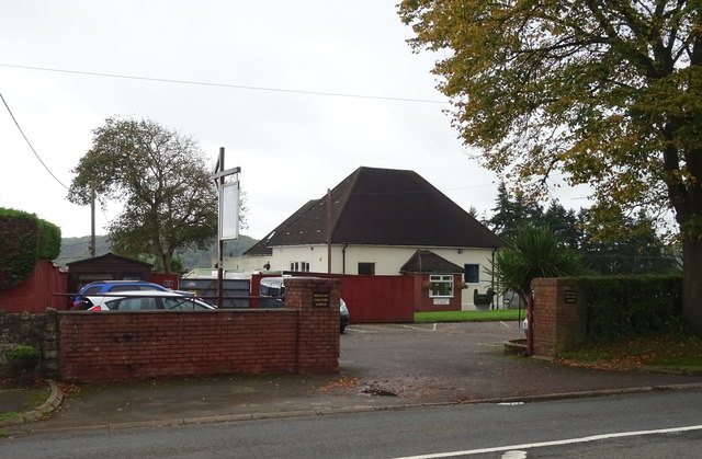
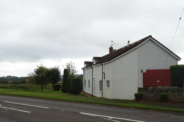
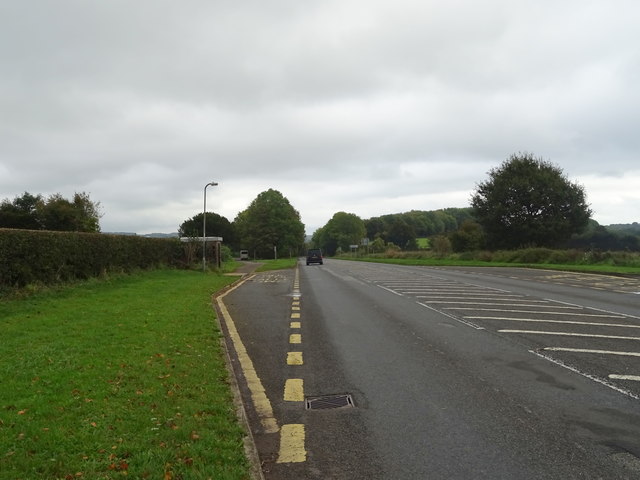
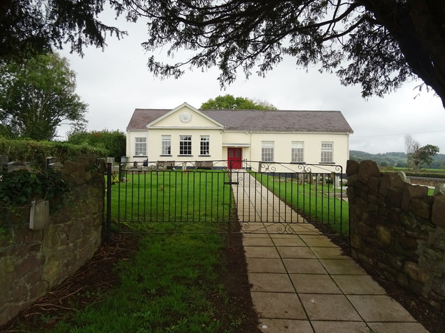
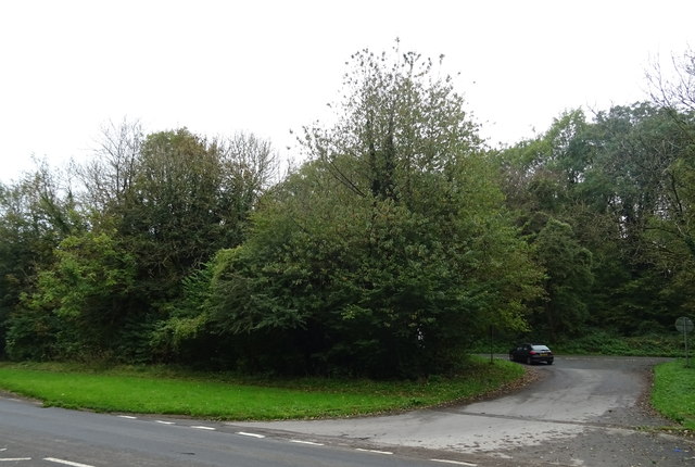
Llanfair Isgoed is a small village located in Monmouthshire, Wales. It is situated in a rural area surrounded by rolling hills and farmland, providing a peaceful and picturesque setting for its residents. The village is known for its quaint charm and traditional Welsh architecture, with many of the buildings dating back centuries.

Llanfair Isgoed is home to a close-knit community that takes pride in its Welsh heritage and culture. The village has a parish church, a primary school, and a few small shops and businesses that serve the local population. The surrounding countryside offers plenty of opportunities for outdoor activities such as hiking, cycling, and horseback riding.

Despite its rural location, Llanfair Isgoed is within easy reach of larger towns and cities such as Abergavenny and Monmouth, making it a popular choice for those seeking a peaceful village lifestyle with access to urban amenities. Overall, Llanfair Isgoed is a charming and idyllic village that offers a tranquil escape from the hustle and bustle of modern life.

If you have any feedback on the listing, please let us know in the comments section below.

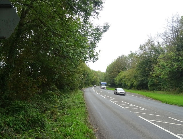
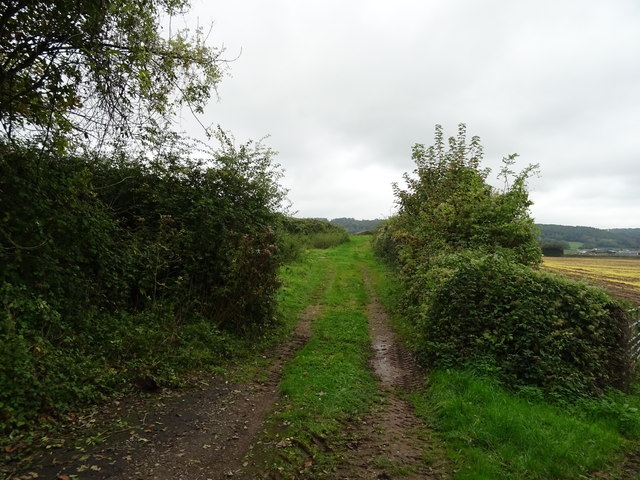
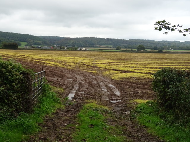
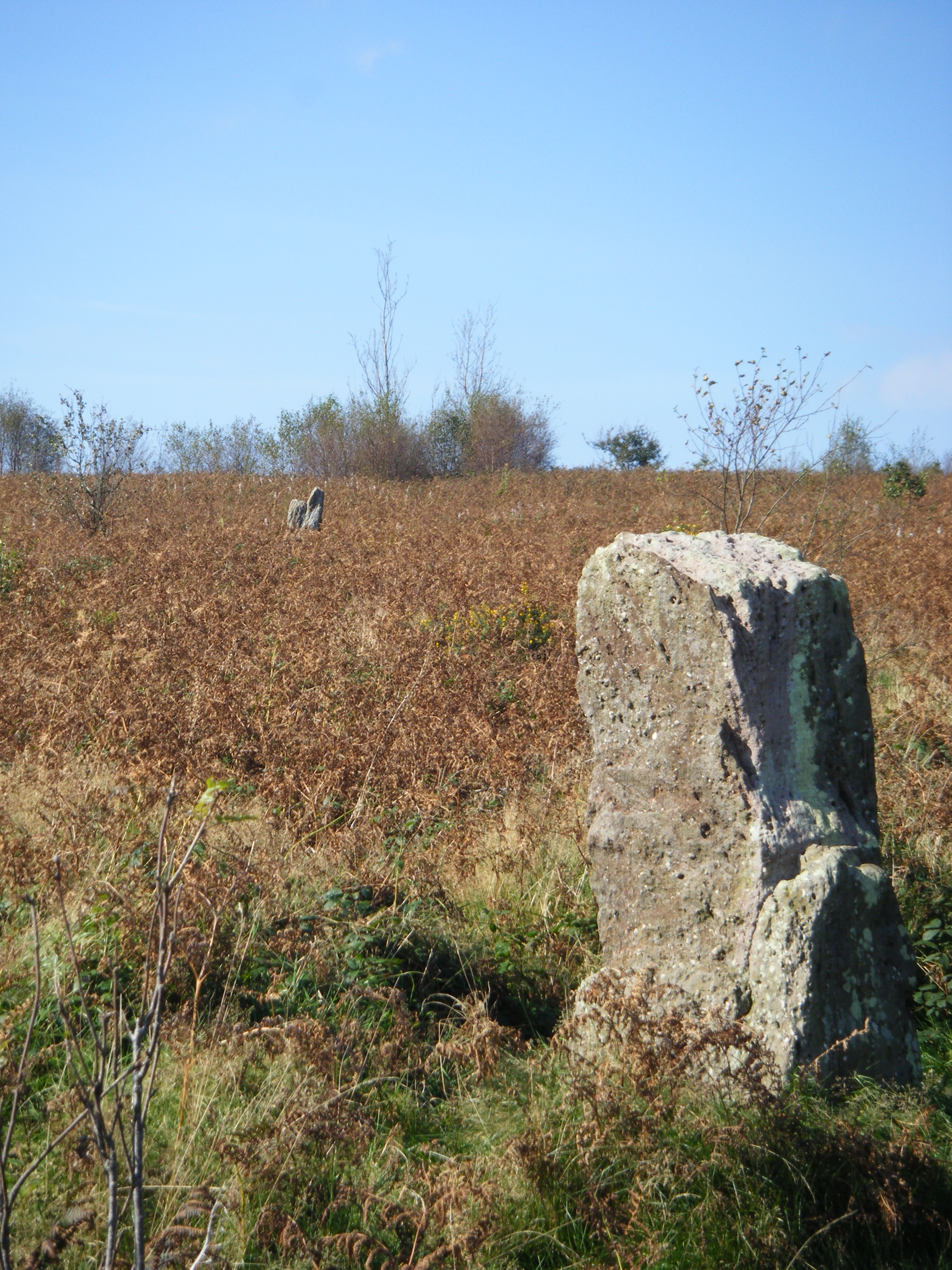
Llanfair Isgoed Images

Images are sourced within 2km of 51.627085/-2.802342 or Grid Reference ST4492. Thanks to Geograph Open Source API. All images are credited.

Descending Gray Hill Overlooking Wentwood.
See <a title="https://www.geograph.org.uk/photo/1097852" href="https://www.geograph.org.uk/photo/1097852">Link</a> for a similar view 13 years later.
Descending Gray Hill
Overlooking Wentwood. See Link for a similar view 13 years later.
Path to the common ground Crossing a bright sunlit grassy field,
Path to the common ground
Crossing a bright sunlit grassy field,
Vehicular access Best believe it; park up here and enjoy the walk.
Vehicular access
Best believe it; park up here and enjoy the walk.
Tile House Farm The substantial building is next to the road that leads to the Gray Hill access area.
Tile House Farm
The substantial building is next to the road that leads to the Gray Hill access area.
Ripening wheat An arable field to the west of Llanfair-Discoed and east of Llanvaches.
Ripening wheat
An arable field to the west of Llanfair-Discoed and east of Llanvaches.
Ripening wheat, 2 Telephoto shot from the same spot as <a href="https://www.geograph.org.uk/photo/5849974">ST4392 : Ripening wheat</a>.
The wooded hill in the distance is at Castell-prin Wood.
Ripening wheat, 2
Telephoto shot from the same spot as ST4392 : Ripening wheat. The wooded hill in the distance is at Castell-prin Wood.
Rectory Road, Llanvaches An honesty-based sale-table is here with some very good produce and plants for sale.
Rectory Road, Llanvaches
An honesty-based sale-table is here with some very good produce and plants for sale.
Penylan Country Lodge Kennels and Cattery on the A48.
Penylan Country Lodge
Kennels and Cattery on the A48.
Penylan Lodge On the A48.
Penylan Lodge
On the A48.
Bus stop and shelter on the A48 Near Penylan Lodge.
Bus stop and shelter on the A48
Near Penylan Lodge.
 Wroth Memorial Hall and Tabernacle Chapel Grade II listed building in Llanvaches, built in 1924.
Wroth Memorial Hall and Tabernacle Chapel
Grade II listed building in Llanvaches, built in 1924.
Road to recycling site, Croes-voel Wood Off the A48.
Road to recycling site, Croes-voel Wood
Off the A48.
A48 towards Chepstow
Farm track off the A48
Field off the A48 near Llanvaches
Houses on the A48, Five Lanes
KX100 telephone box on the A48, Five Lanes Looking a bit neglected.
KX100 telephone box on the A48, Five Lanes
Looking a bit neglected.
Bus stop and shelter on the A48, Five Lanes
Show me another place!

Llanfair Isgoed is located at Grid Ref: ST4492 (Lat: 51.627085, Lng: -2.802342)

Unitary Authority: Monmouthshire

Police Authority: Gwent

Also known as: Llanvair-Discoed

What 3 Words

///princes.fashion.opened. Near Llanvaches, Newport

Related Wikis

Llanvair Discoed

Llanvair Discoed (Welsh: Llanfair Is Coed) is a small village in Monmouthshire, south-east Wales, 6 miles west of Chepstow and 10 miles east of Newport...

Llanvaches

Llanvaches or Llanfaches is a village and community parish within the boundaries of the city of Newport, Wales. It lies to the east of the urban area...

Gray Hill, Monmouthshire

Gray Hill (Welsh: Mynydd Llwyd) is a hill immediately to the north of the village of Llanvair Discoed, Monmouthshire, South Wales, rising to 896 feet...

Wentwood

Wentwood (Welsh: Coed Gwent), in Monmouthshire, South Wales, is a forested area of hills, rising to 1,014 feet (309 m) above sea level. It is located to...

Nearby Amenities

Located within 500m of 51.627085,-2.802342
Llanvair-Discoed
Name Cy: Llanfair Disgoed
Note: The Welsh Language Commissioner recognises 'Llanfair Disgoed' as both the English and Welsh spelling, but OS OpenMap Local uses 'Llanvair-Discoed'
Place: village
Population: 2157
Source: OS OpenMap Local (April 2023)
Wikidata: Q6661826
Lat/Long: 51.628475/-2.7974376
Pub
The Woodland Tavern
Addr City: Llanvair Discoed
Addr Postcode: NP16 6LX
Addr Street: Usk Road
Email: info@thewoodlandstavern.co.uk
Opening Hours: Mo off; Tu-Fr 12:00-14:00,18:00-21:00; Sa 12:00-14:30,18:00-21:30; Su 12:00-16:00,17:00-23:00
Phone: +44 1633 400 313
Website: https://www.facebook.com/groups/716546195698644/
Wikidata: Q80857041
Lat/Long: 51.6278134/-2.7995498
Turning Circle
Lat/Long: 51.6272529/-2.7996494
Direction: WSW
Generator Method: photovoltaic
Generator Output Electricity: yes
Generator Solar Modules: 16
Generator Source: solar
Generator Type: solar_photovoltaic_panel
Location: roof
Power: generator
Lat/Long: 51.6286436/-2.7993403
Direction: 170
Generator Method: photovoltaic
Generator Output Electricity: yes
Generator Solar Modules: 14
Generator Source: solar
Generator Type: solar_photovoltaic_panel
Location: roof
Power: generator
Lat/Long: 51.6287824/-2.798903
Direction: W
Generator Method: photovoltaic
Generator Output Electricity: yes
Generator Solar Modules: 20
Generator Source: solar
Generator Type: solar_photovoltaic_panel
Location: roof
Power: generator
Lat/Long: 51.6283568/-2.7980982
Direction: ESE
Generator Method: photovoltaic
Generator Output Electricity: yes
Generator Solar Modules: 5
Generator Source: solar
Generator Type: solar_photovoltaic_panel
Location: roof
Power: generator
Lat/Long: 51.6281399/-2.7995371
Direction: ESE
Generator Method: photovoltaic
Generator Output Electricity: yes
Generator Solar Modules: 5
Generator Source: solar
Generator Type: solar_photovoltaic_panel
Location: roof
Power: generator
Lat/Long: 51.6282355/-2.7994759
Direction: 195
Generator Method: photovoltaic
Generator Output Electricity: yes
Generator Solar Modules: 14
Generator Source: solar
Generator Type: solar_photovoltaic_panel
Location: roof
Power: generator
Lat/Long: 51.6277218/-2.797968
The data included in this document is from www.openstreetmap.org. The data is made available under ODbL.

Have you been to Llanfair Isgoed?

Leave your review of Llanfair Isgoed below (or comments, questions and feedback).