Fir Orchard
Wood, Forest in Flintshire
Wales
Fir Orchard
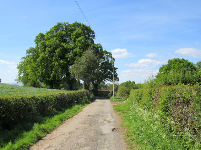
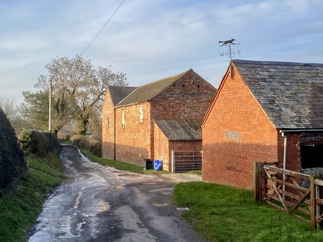
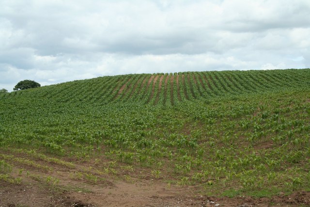
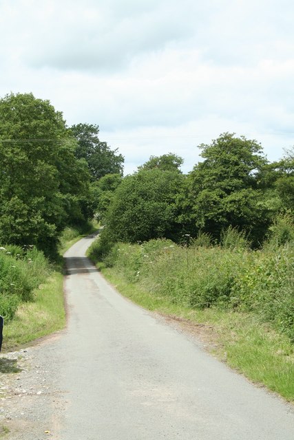
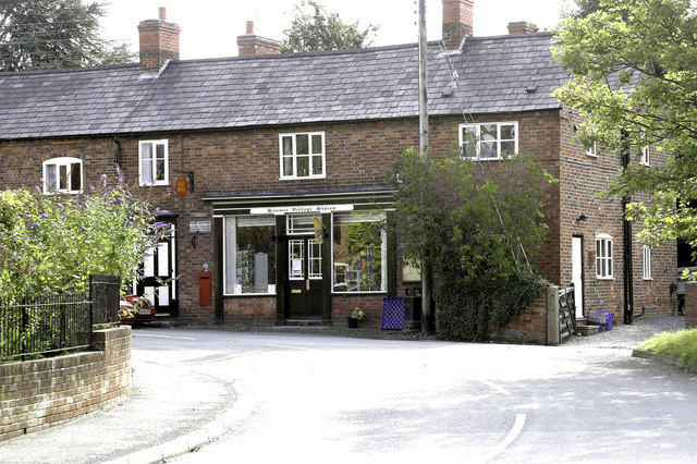
Fir Orchard, located in the county of Flintshire, Wales, is a picturesque wood or forest characterized by its abundance of fir trees. Spanning over an area of approximately [insert size], this natural haven offers a serene retreat for nature enthusiasts and hikers alike.
The woodland of Fir Orchard is a captivating sight, with towering fir trees reaching towards the sky. The dense foliage provides a haven for numerous bird species, making it a popular spot for birdwatching enthusiasts. The tranquil atmosphere allows visitors to immerse themselves in the sounds of nature, with the chirping of birds and rustling of leaves creating a soothing symphony.
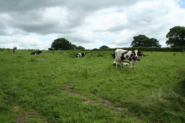
The forest floor is adorned with a vibrant carpet of ferns and moss, adding to the area's enchanting ambiance. Walking through the woodland, visitors can expect to encounter a variety of flora and fauna, from wildflowers to small mammals such as squirrels and rabbits.
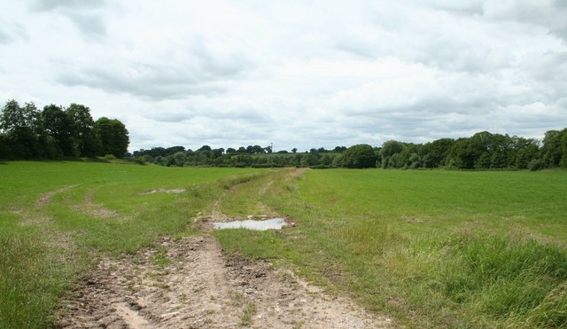
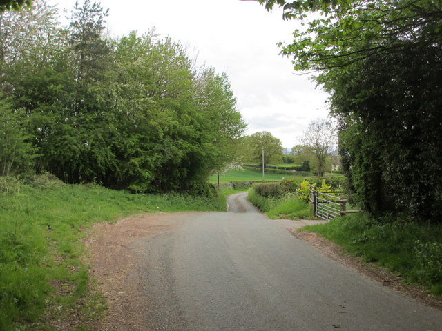
Fir Orchard is intersected by several walking trails, allowing visitors to explore the area at their own pace. These well-maintained paths offer a range of difficulty levels, accommodating both casual strollers and avid hikers. Along the way, hikers may stumble upon small streams or hidden clearings, providing opportunities for peaceful reflection and relaxation.
For those seeking a break from the hustle and bustle of daily life, Fir Orchard in Flintshire offers a serene natural escape, where one can reconnect with nature and experience the beauty of the Welsh countryside.
If you have any feedback on the listing, please let us know in the comments section below.
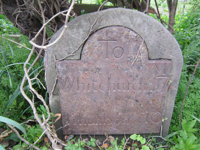
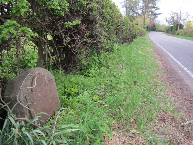
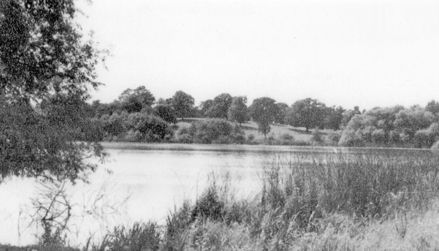
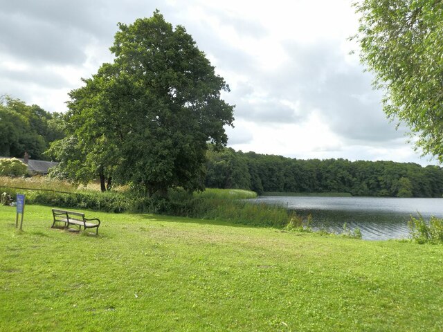
Fir Orchard Images
Images are sourced within 2km of 52.943367/-2.8279112 or Grid Reference SJ4438. Thanks to Geograph Open Source API. All images are credited.


Fir Orchard is located at Grid Ref: SJ4438 (Lat: 52.943367, Lng: -2.8279112)
Unitary Authority: Wrexham
Police Authority: North Wales
What 3 Words
///valued.intro.stove. Near Ellesmere, Shropshire
Nearby Locations
Related Wikis

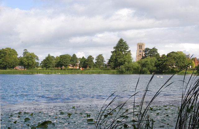
Hanmer Mere
Hanmer Mere (Welsh: Llyn Hanmer) is a natural lake and Site of Special Scientific Interest in Wrexham County Borough, Wales. The village of Hanmer is at...

Arowry
Arowry (Welsh: Yr Owredd) is a village in the community of Hanmer in the rural south-east of Wrexham County Borough, Wales, near the border with England...
Hanmer, Wrexham
Hanmer is a village and community in Wrexham County Borough, Wales. At the 2001 Census the population of the Hanmer community area, which includes Hanmer...

Breaden Heath
Breaden Heath is a small village in Shropshire, England. It lies right on the border with Wales.

Horseman's Green
Horseman's Green is a village in Wrexham County Borough, Wales. Located in the rural southeast of the county borough, it is close to the Wales-England...
Halghton
Halghton (Welsh: Halchdyn) is a dispersed settlement and former civil parish in the east of Wrexham County Borough, Wales. It is part of the community...

Llyn Bedydd
Llyn Bedydd is a small lake in Wrexham County Borough, in northeastern Wales, near the border with England. It is 7 kilometres (4.3 mi) south west of...

The Maelor School
The Maelor School, Penley (Welsh: Ysgol Maelor) is a mixed comprehensive school situated in the village of Penley, Wrexham County Borough, in north-east...
Nearby Amenities
Located within 500m of 52.943367,-2.8279112Have you been to Fir Orchard?
Leave your review of Fir Orchard below (or comments, questions and feedback).