Gredington Park
Downs, Moorland in Flintshire
Wales
Gredington Park
Gredington Park is a picturesque estate located in Flintshire, a county in northeast Wales, United Kingdom. Situated amidst the stunning Downs and Moorland landscapes, the park spans over a vast area of land, offering a serene and tranquil environment for visitors to explore and enjoy.
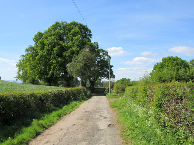
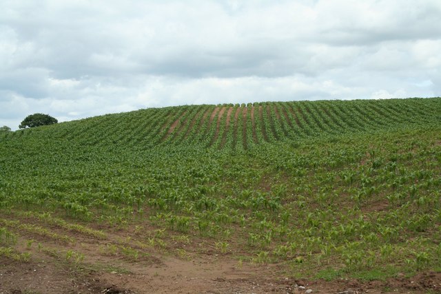
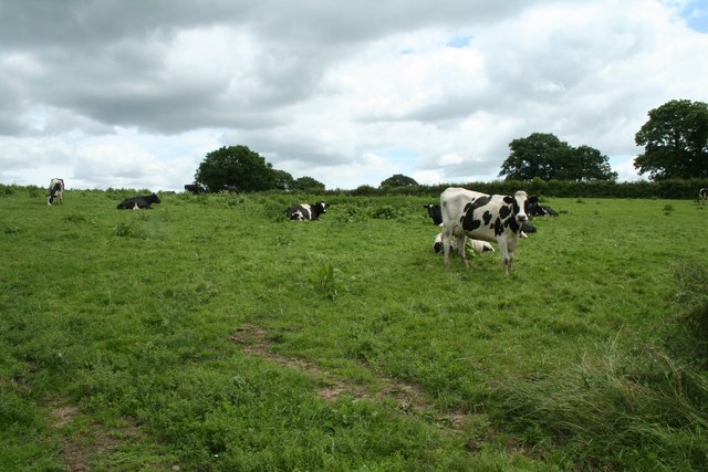
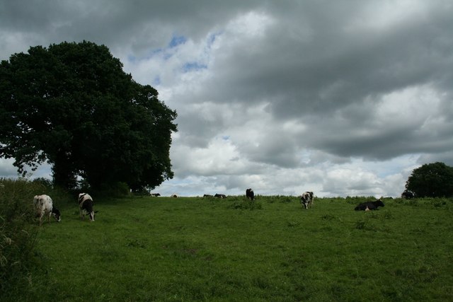
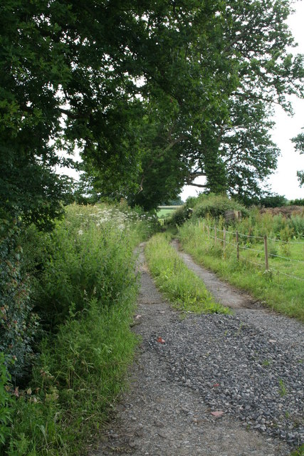
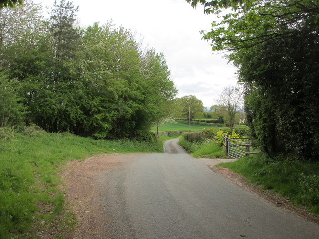
The park is renowned for its natural beauty, with rolling hills, lush green meadows, and scattered woodland areas. It is home to a diverse range of flora and fauna, making it an ideal destination for nature enthusiasts and wildlife lovers. The open fields are often dotted with grazing livestock, adding to the rural charm of the park.
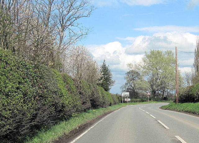
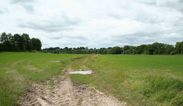
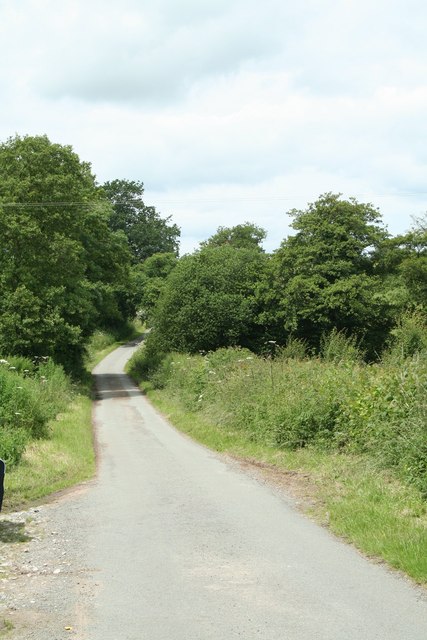
Visitors to Gredington Park can take leisurely walks along the well-maintained trails that crisscross the estate, allowing them to soak in the breathtaking views of the surrounding countryside. The park also offers various recreational activities such as cycling, horse riding, and picnicking, providing something for everyone to enjoy.
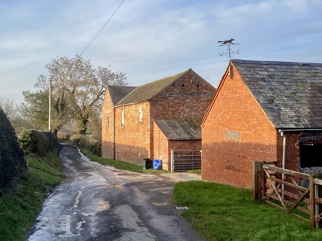
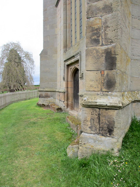
In addition to its natural attractions, Gredington Park boasts a rich history. The estate dates back several centuries and features a historic manor house, which can be explored by guided tours. The house showcases architectural elegance and offers insights into the lives of the estate's former owners.
Overall, Gredington Park in Flintshire is a haven of natural beauty, offering visitors an opportunity to escape the hustle and bustle of everyday life. With its scenic landscapes, diverse wildlife, and historical significance, it is a must-visit destination for those seeking a peaceful retreat in the heart of the Welsh countryside.
If you have any feedback on the listing, please let us know in the comments section below.
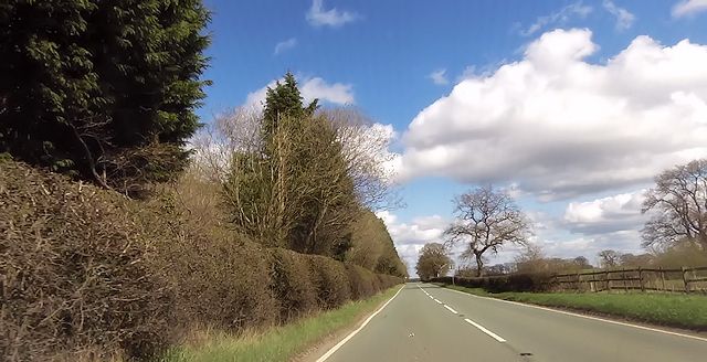
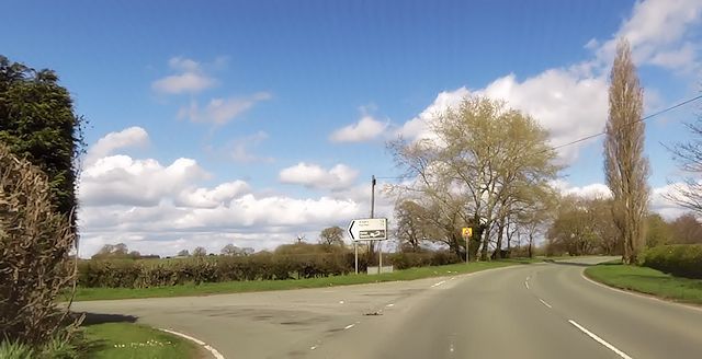
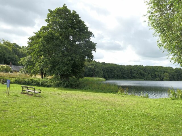
Gredington Park Images
Images are sourced within 2km of 52.944078/-2.8213173 or Grid Reference SJ4438. Thanks to Geograph Open Source API. All images are credited.
Gredington Park is located at Grid Ref: SJ4438 (Lat: 52.944078, Lng: -2.8213173)
Unitary Authority: Wrexham
Police Authority: North Wales
What 3 Words
///nickname.harmonica.troubles. Near Ellesmere, Shropshire
Nearby Locations
Related Wikis

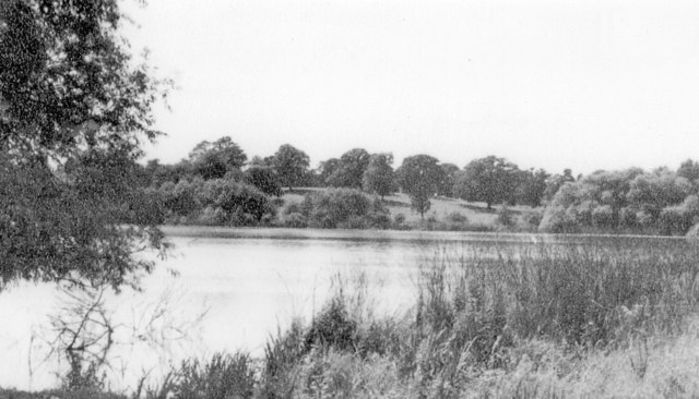
Hanmer Mere
Hanmer Mere (Welsh: Llyn Hanmer) is a natural lake and Site of Special Scientific Interest in Wrexham County Borough, Wales. The village of Hanmer is at...

Arowry
Arowry (Welsh: Yr Owredd) is a village in the community of Hanmer in the rural south-east of Wrexham County Borough, Wales, near the border with England...
Hanmer, Wrexham
Hanmer is a village and community in Wrexham County Borough, Wales. At the 2001 Census the population of the Hanmer community area, which includes Hanmer...

Horseman's Green
Horseman's Green is a village in Wrexham County Borough, Wales. Located in the rural southeast of the county borough, it is close to the Wales-England...
Nearby Amenities
Located within 500m of 52.944078,-2.8213173Have you been to Gredington Park?
Leave your review of Gredington Park below (or comments, questions and feedback).