Glade Wood
Wood, Forest in Flintshire
Wales
Glade Wood
Glade Wood is a picturesque forest located in Flintshire, Wales. Spanning over a vast area, the wood is characterized by its dense foliage, towering trees, and tranquil atmosphere. It is a popular destination for nature enthusiasts, hikers, and birdwatchers, offering a serene escape from the hustle and bustle of everyday life.
The forest is predominantly composed of deciduous trees, such as oak, beech, and birch, which create a stunning display of colors during the autumn season. The lush undergrowth is adorned with wildflowers, ferns, and moss, adding to the wood's natural beauty. Several well-maintained trails wind through the forest, allowing visitors to explore its hidden gems and discover secluded clearings.
The diverse ecosystem of Glade Wood supports a variety of wildlife, making it a haven for animal lovers. Bird species such as woodpeckers, tawny owls, and song thrushes can be heard chirping and singing throughout the day. Squirrels, rabbits, and foxes are also commonly sighted, adding a touch of wilderness to the wood.
For those seeking a more immersive experience, camping facilities are available within the forest, providing an opportunity to spend a night under a canopy of stars. Additionally, the wood is equipped with picnic areas, making it an ideal spot for family outings and gatherings.
Glade Wood, Flintshire, with its enchanting ambiance and natural beauty, offers a serene retreat for individuals seeking solace in nature's embrace.
If you have any feedback on the listing, please let us know in the comments section below.
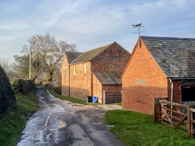
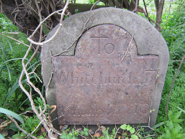
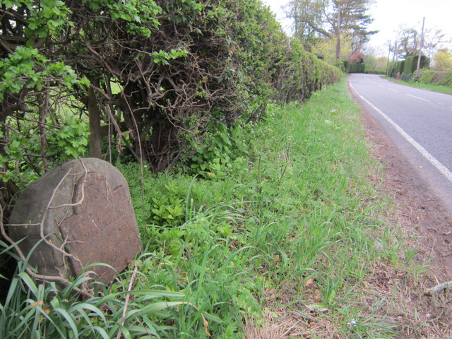
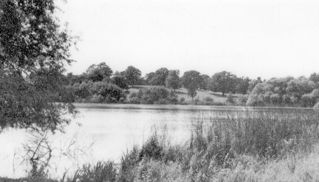
Glade Wood Images
Images are sourced within 2km of 52.938913/-2.8349387 or Grid Reference SJ4338. Thanks to Geograph Open Source API. All images are credited.


Glade Wood is located at Grid Ref: SJ4338 (Lat: 52.938913, Lng: -2.8349387)
Unitary Authority: Wrexham
Police Authority: North Wales
What 3 Words
///baseballs.completed.dolphin. Near Ellesmere, Shropshire
Nearby Locations
Related Wikis

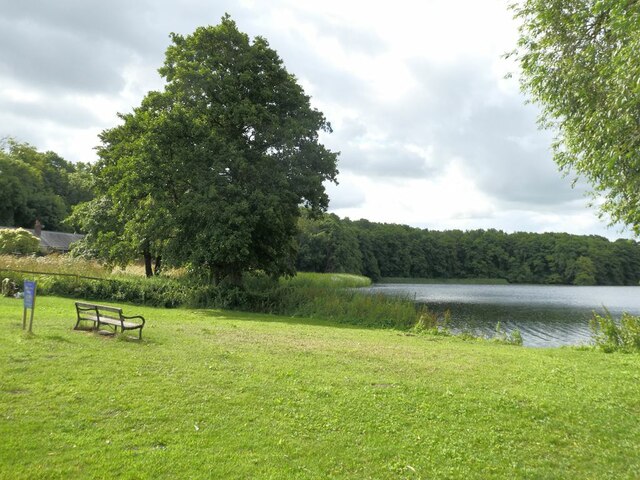
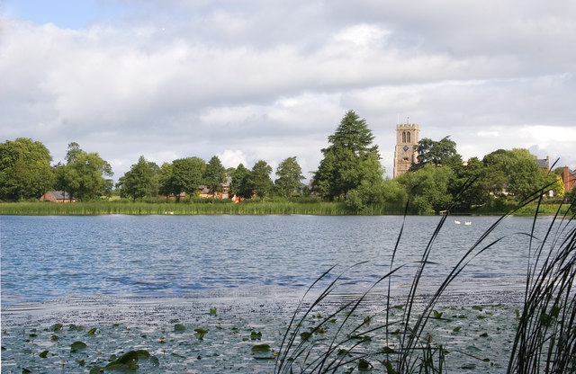
Hanmer Mere
Hanmer Mere (Welsh: Llyn Hanmer) is a natural lake and Site of Special Scientific Interest in Wrexham County Borough, Wales. The village of Hanmer is at...

Breaden Heath
Breaden Heath is a small village in Shropshire, England. It lies right on the border with Wales.

Arowry
Arowry (Welsh: Yr Owredd) is a village in the community of Hanmer in the rural south-east of Wrexham County Borough, Wales, near the border with England...
Hanmer, Wrexham
Hanmer is a village and community in Wrexham County Borough, Wales. At the 2001 Census the population of the Hanmer community area, which includes Hanmer...

Welshampton rail crash
The Welshampton rail crash was a fatal railway accident in the Welsh borders village of Welshampton on 11 June 1897. It resulted in the deaths of 12 people...
Welshampton railway station
Welshampton railway station was a station in Welshampton, Shropshire, England. The station was opened on 4 May 1863 and closed on 18 January 1965.The station...
The Maelor School
The Maelor School, Penley (Welsh: Ysgol Maelor) is a mixed comprehensive school situated in the village of Penley, Wrexham County Borough, in north-east...

Penley
Penley (Welsh: Llannerch Banna) is a village in the County Borough of Wrexham, in Wales close to the border with Shropshire, England, and had a population...
Nearby Amenities
Located within 500m of 52.938913,-2.8349387Have you been to Glade Wood?
Leave your review of Glade Wood below (or comments, questions and feedback).