Knolls Wood

Wood, Forest in Flintshire

Wales

Knolls Wood

Farm buildings in mellow red brick At Pigeon House.
Farm buildings in mellow red brick Credit: John H Darch

Knolls Wood is a picturesque forest located in Flintshire, Wales. Stretching across an area of approximately 100 acres, this woodland is a haven for nature enthusiasts and outdoor lovers alike. The forest is situated near the village of Lixwm, providing easy access to visitors from both rural and urban areas.

The wood is predominantly composed of native broadleaf trees, such as oak, birch, and beech, lending it a rich and diverse ecosystem. These trees provide ample shade during the summer months, making it a pleasant place to escape the heat and enjoy a leisurely stroll. The forest floor is carpeted with a variety of wildflowers, adding to the beauty of the surroundings.

Knolls Wood boasts several well-maintained footpaths that wind through the dense vegetation, allowing visitors to explore the forest at their own pace. The paths are suitable for both walking and cycling, accommodating different levels of fitness and mobility. Birdwatchers will be delighted by the numerous species that inhabit the wood, including woodpeckers, nuthatches, and various songbirds.

The wood also features a small pond, attracting local wildlife such as ducks, frogs, and dragonflies. This serene spot provides a tranquil atmosphere, perfect for relaxation and meditation. Additionally, there are several benches strategically placed throughout the forest, offering visitors the opportunity to take a break and enjoy the surroundings.

Knolls Wood is a popular destination for families, nature enthusiasts, and those seeking a peaceful retreat. Its natural beauty and accessibility make it a must-visit location for anyone in the Flintshire area.

If you have any feedback on the listing, please let us know in the comments section below.

Knolls Wood Images

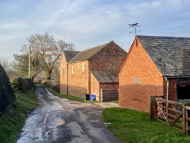
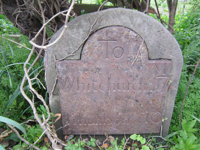
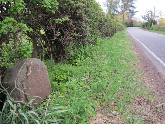
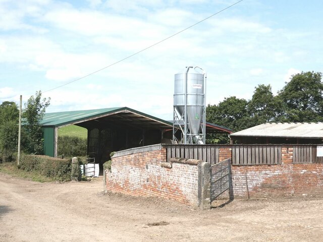
Images are sourced within 2km of 52.937636/-2.841461 or Grid Reference SJ4338. Thanks to Geograph Open Source API. All images are credited.

Farm buildings in mellow red brick At Pigeon House.
Farm buildings in mellow red brick
At Pigeon House.
Road to The Stocks
Road to The Stocks
Road from The Stocks
Milestone at Cumber's Bank, near Hanmer This old milestone is on the south west side of the A539 at Cumber's Bank, west of Hanmer. A milestone is recorded at this location on Ordnance Survey maps from 1873, and a bench mark was also indicated up to 1954, but I couldn't see one today - it may be below ground level? The inscription on the plate is Whitchurch 7 Rhuabon 10, which is an unusual spelling of the more usual Ruabon. See also <a href="https://www.geograph.org.uk/photo/3455532">SJ4439 : Milestone at Cumber's Bank, and the A539</a>
Milestone at Cumber's Bank, near Hanmer
This old milestone is on the south west side of the A539 at Cumber's Bank, west of Hanmer. A milestone is recorded at this location on Ordnance Survey maps from 1873, and a bench mark was also indicated up to 1954, but I couldn't see one today - it may be below ground level? The inscription on the plate is Whitchurch 7 Rhuabon 10, which is an unusual spelling of the more usual Ruabon. See also SJ4439 : Milestone at Cumber's Bank, and the A539
Milestone at Cumber's Bank, and the A539 This old milestone is alongside the A539 at Cumber's Bank. The inscription is Whitchurch 7 Rhuabon 10, which is an unusual spelling of Ruabon. For a close up of the plate see <a href="https://www.geograph.org.uk/photo/3455507">SJ4439 : Milestone at Cumber's Bank, near Hanmer</a>
Milestone at Cumber's Bank, and the A539
This old milestone is alongside the A539 at Cumber's Bank. The inscription is Whitchurch 7 Rhuabon 10, which is an unusual spelling of Ruabon. For a close up of the plate see SJ4439 : Milestone at Cumber's Bank, near Hanmer
Farm buildings at Higher Stocks Farm Named simply as "The Stocks" on the OS 1:50m,000 map.
Farm buildings at Higher Stocks Farm
Named simply as "The Stocks" on the OS 1:50m,000 map.
Country road from Coptiviney to Hampton Wood
The Stocks The Stocks Farm.
The Stocks
The Stocks Farm.
Hanmer Mere Photograph taken looking towards the Parish Church of St. Chad in the village of Hanmer.
Hanmer Mere
Photograph taken looking towards the Parish Church of St. Chad in the village of Hanmer.
Bank Farm
Bank Farm
Hanmer Tennis Club House
Wood Farm Road leading to Wood Farm
Wood Farm
Road leading to Wood Farm
Hill Farm
Hill Farm
Lower Farm - Breaden Heath
Brookmill Farm
Brookmill Farm
Bishops House
Bishops House
Over the Border One way seems to go towards " Park Lane ".
Over the Border
One way seems to go towards " Park Lane ".
Choice This way leads to Llanerch Panna.
Choice
This way leads to Llanerch Panna.
Show me another place!

Knolls Wood is located at Grid Ref: SJ4338 (Lat: 52.937636, Lng: -2.841461)

Unitary Authority: Wrexham

Police Authority: North Wales

What 3 Words

///silver.qualify.beaks. Near Ellesmere, Shropshire

Related Wikis

Breaden Heath

Breaden Heath is a small village in Shropshire, England. It lies right on the border with Wales.
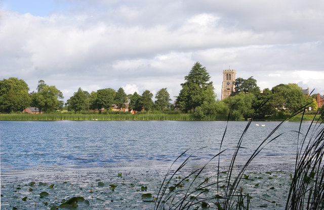
Hanmer Mere

Hanmer Mere (Welsh: Llyn Hanmer) is a natural lake and Site of Special Scientific Interest in Wrexham County Borough, Wales. The village of Hanmer is at...

Arowry

Arowry (Welsh: Yr Owredd) is a village in the community of Hanmer in the rural south-east of Wrexham County Borough, Wales, near the border with England...

Hanmer, Wrexham

Hanmer is a village and community in Wrexham County Borough, Wales. At the 2001 Census the population of the Hanmer community area, which includes Hanmer...

Have you been to Knolls Wood?

Leave your review of Knolls Wood below (or comments, questions and feedback).