Ty-llŵyd Wood

Wood, Forest in Monmouthshire

Wales

Ty-llŵyd Wood

Llan y Nant Cottage, Llangwm, Monmouthshire On the corner of Llanynant Road and Chapel Road.
Llan y Nant Cottage, Llangwm, Monmouthshire Credit: Jaggery

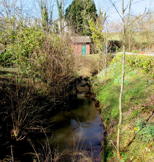
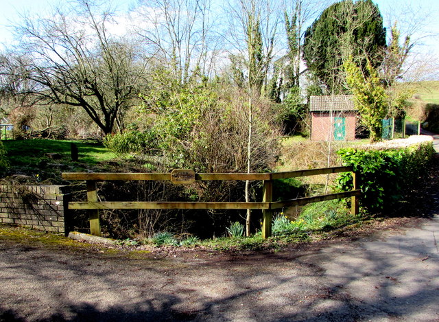
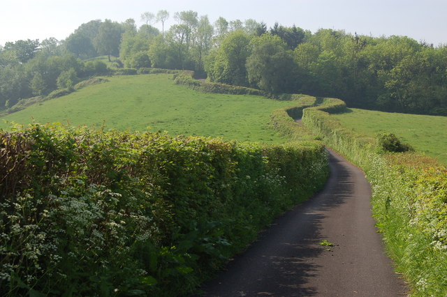
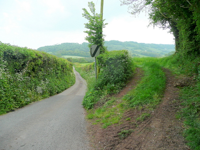
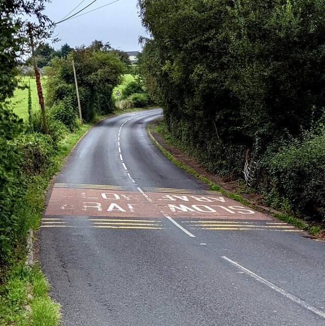
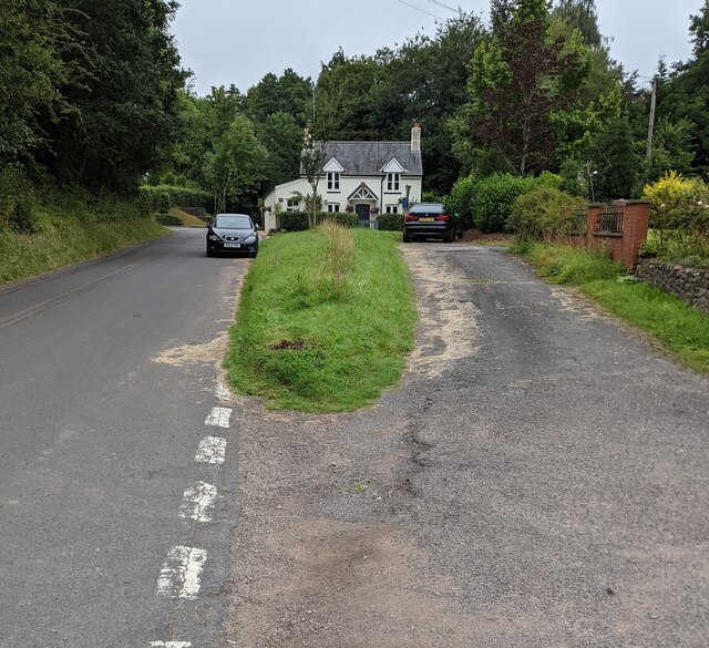
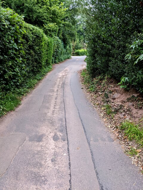
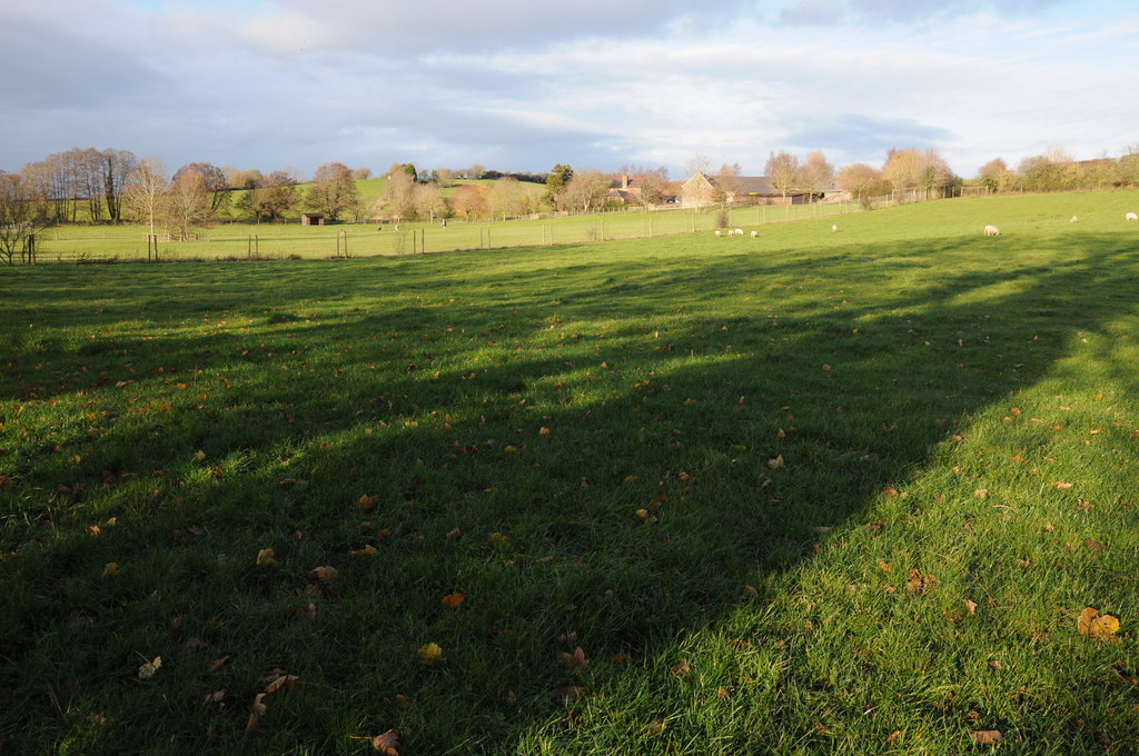
Ty-llŵyd Wood, located in Monmouthshire, is a picturesque forest that covers an area of approximately 200 hectares. Nestled in the beautiful landscape of southeast Wales, this wood is a popular destination for nature lovers and outdoor enthusiasts.

The wood is predominantly composed of mixed deciduous trees, including oak, beech, and ash, which create a diverse and vibrant ecosystem. The lush vegetation provides habitat for a variety of wildlife species, such as deer, badgers, and a wide range of bird species. Visitors can often spot these animals roaming freely throughout the wood, making it a haven for wildlife enthusiasts and photographers.

For those interested in exploring the wood, there are several well-maintained trails that wind through its enchanting pathways. These trails offer visitors a chance to immerse themselves in the natural beauty of the forest, with opportunities to observe the flora and fauna up close. The wood's serene atmosphere and tranquil surroundings make it an ideal location for peaceful walks, picnics, and even camping.

In addition to its natural beauty, Ty-llŵyd Wood also has historical significance. The wood is believed to have been used by Iron Age settlers, and remnants of their presence can still be found in the form of earthworks and ancient structures.

Overall, Ty-llŵyd Wood is a charming woodland retreat that offers a unique blend of natural beauty and historical intrigue. With its diverse wildlife, scenic trails, and peaceful ambiance, it is a must-visit destination for anyone seeking a respite from the hustle and bustle of everyday life.

If you have any feedback on the listing, please let us know in the comments section below.

Ty-llŵyd Wood Images

Images are sourced within 2km of 51.706385/-2.8185456 or Grid Reference SO4301. Thanks to Geograph Open Source API. All images are credited.

Llan y Nant Cottage, Llangwm, Monmouthshire On the corner of Llanynant Road and Chapel Road.
Llan y Nant Cottage, Llangwm, Monmouthshire
On the corner of Llanynant Road and Chapel Road.
Junction of Chapel Road and Llanynant Road, Llangwm, Monmouthshire The Give Way sign on the corner of Llanynant Road faces Chapel Road.
Junction of Chapel Road and Llanynant Road, Llangwm, Monmouthshire
The Give Way sign on the corner of Llanynant Road faces Chapel Road.
Entrance to Chapel Farm, Llangwm, Monmouthshire From the western end of Chapel Road, 120 metres west of the Llanynant Road junction.
Entrance to Chapel Farm, Llangwm, Monmouthshire
From the western end of Chapel Road, 120 metres west of the Llanynant Road junction.
North side of Salem Baptist Chapel, Llangwm, Monmouthshire Viewed from Chapel Road. Built in 1840, the chapel was Grade II listed in 2000.
North side of Salem Baptist Chapel, Llangwm, Monmouthshire
Viewed from Chapel Road. Built in 1840, the chapel was Grade II listed in 2000.
No Through Road sign at the eastern end of Chapel Road,  Llangwm, Monmouthshire Facing Llanynant Road. Chapel Road extends ahead for 120 metres to the entrance <a title="https://www.geograph.org.uk/photo/5720377" href="https://www.geograph.org.uk/photo/5720377">Link</a> to Chapel Farm.
No Through Road sign at the eastern end of Chapel Road, Llangwm, Monmouthshire
Facing Llanynant Road. Chapel Road extends ahead for 120 metres to the entrance Link to Chapel Farm.
Coed Cwnwr Pumping Station, Llangwm, Monmouthshire The brick building is in a Welsh Water site above the brook named Nant y March. Viewed from Chapel Road.
Coed Cwnwr Pumping Station, Llangwm, Monmouthshire
The brick building is in a Welsh Water site above the brook named Nant y March. Viewed from Chapel Road.
Nant y March, Llangwm, Monmouthshire Brook (or stream) below Chapel Road. Coed Cwnwr Pumping Station <a title="https://www.geograph.org.uk/photo/5720426" href="https://www.geograph.org.uk/photo/5720426">Link</a> is in the background.
Nant y March, Llangwm, Monmouthshire
Brook (or stream) below Chapel Road. Coed Cwnwr Pumping Station Link is in the background.
Cefn Bychan Close name sign on a fence, Llangwm, Monmouthshire The wooden sign is on a wooden fence above Nant y March. <a title="https://www.geograph.org.uk/photo/5720437" href="https://www.geograph.org.uk/photo/5720437">Link</a> 
Cefn Bychan Close houses are beyond the left edge of the photo. 
Chapel Road is beyond the right edge. 
The brick building <a title="https://www.geograph.org.uk/photo/5720426" href="https://www.geograph.org.uk/photo/5720426">Link</a> is Coed Cwnwr Pumping Station.
Cefn Bychan Close name sign on a fence, Llangwm, Monmouthshire
The wooden sign is on a wooden fence above Nant y March. Link Cefn Bychan Close houses are beyond the left edge of the photo. Chapel Road is beyond the right edge. The brick building Link is Coed Cwnwr Pumping Station.
Cottage in Llangwm Cottage on the corner of Chapel Road and Llanynant Road in Llangwm.
Cottage in Llangwm
Cottage on the corner of Chapel Road and Llanynant Road in Llangwm.
Stable block at Cefn Bychan Farm Empty at the time of photographing.
Stable block at Cefn Bychan Farm
Empty at the time of photographing.
Lane climbing the hill near Gaer fawr View looks southwards up this steep lane towards Gaer fawr.
Lane climbing the hill near Gaer fawr
View looks southwards up this steep lane towards Gaer fawr.
Barn at Camp Farm Farm buildings set on a hill to the south of Llangwm.
Barn at Camp Farm
Farm buildings set on a hill to the south of Llangwm.
The Dyffryn The name of the lane from Llangwm south-east to Newchurch.
The wooded hill at Gaer-fawr lies beyond.
The Dyffryn
The name of the lane from Llangwm south-east to Newchurch. The wooded hill at Gaer-fawr lies beyond.
SLOW/ARAF on the B4235, Llangwm, Monmouthshire English/Welsh text painted on the road to Chepstow.
SLOW/ARAF on the B4235, Llangwm, Monmouthshire
English/Welsh text painted on the road to Chepstow.
Grass strip, Llanynant Road, Llangwm, Monmouthshire On the approach to the Chapel Road junction. Llan y Nant Cottage is in the background. <a title="https://www.geograph.org.uk/photo/5720356" href="https://www.geograph.org.uk/photo/5720356">Link</a>
Grass strip, Llanynant Road, Llangwm, Monmouthshire
On the approach to the Chapel Road junction. Llan y Nant Cottage is in the background. Link
West along Chapel Road, Llangwm, Monmouthshire From Llanynant Road, Chapel Road leads to Salem Baptist Chapel. <a title="https://www.geograph.org.uk/photo/5720386" href="https://www.geograph.org.uk/photo/5720386">Link</a>
West along Chapel Road, Llangwm, Monmouthshire
From Llanynant Road, Chapel Road leads to Salem Baptist Chapel. Link
Shades of yellow, Llanynant Road, Llangwm, Monmouthshire A vivid yellow panel over a hydrant is near a pale yellow salt/grit box. A yellow hydrant marker is behind the box.
Shades of yellow, Llanynant Road, Llangwm, Monmouthshire
A vivid yellow panel over a hydrant is near a pale yellow salt/grit box. A yellow hydrant marker is behind the box.
Show me another place!

Ty-llŵyd Wood is located at Grid Ref: SO4301 (Lat: 51.706385, Lng: -2.8185456)

Unitary Authority: Monmouthshire

Police Authority: Gwent

What 3 Words

///snooping.earlobes.wide. Near Llangwm, Monmouthshire

Nearby Locations

Ty-llŵyd Wood

Related Wikis

Llangwm, Monmouthshire

Llangwm is a small rural village and former community, now in the community of Llantrisant Fawr, in Monmouthshire, south east Wales. It is located 3 miles...

St Jerome's Church, Llangwm

The Church of St Jerome stands in the settlement of Llangwm Uchaf, (upper) Llangwm, in a remote part of Monmouthshire, Wales. Originally constructed in...

St Tysoi's Church, Llansoy

The Church of St Tysoi, is the parish church of Llansoy, Monmouthshire, Wales and sits to the south of the village. It is in the Perpendicular style and...

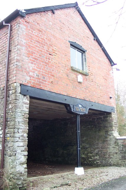
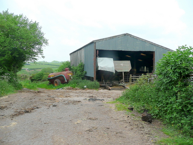
Cwrt y Brychan barn, stable and granary

The barn, stable and granary at Cwrt y Brychan (Brecon Court), Llansoy, Monmouthshire are a range of farm buildings constructed in the 16th century. The...

Llansoy

Llansoy (Welsh: Llan-soe) is a small village in Monmouthshire, south east Wales, United Kingdom, located about 3 miles (4.2 km) south east of Raglan....

Gwernesney

Gwernesney (Welsh: Gwernesni) is a village in Monmouthshire in southeast Wales. == Location == Gwernesney is located three miles east of Usk on the B4235...

Church of St Michael and All Angels, Gwernesney

The Church of St Michael and All Angels is the former parish church of Gwernesney, Monmouthshire, Wales. It is a Grade I listed building. In 2017, the...

Church of St Thomas à Becket, Wolvesnewton

The Church of Saint Thomas à Becket in Wolvesnewton, Monmouthshire, Wales has its origins in the 13th century. Restored in the 19th century, it remains...

Nearby Amenities

Located within 500m of 51.706385,-2.8185456
The data included in this document is from www.openstreetmap.org. The data is made available under ODbL.

Have you been to Ty-llŵyd Wood?

Leave your review of Ty-llŵyd Wood below (or comments, questions and feedback).