Leys Brake
Wood, Forest in Monmouthshire
Wales
Leys Brake
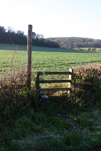
Leys Brake, located in Monmouthshire, is a stunning woodland area known for its natural beauty and serene atmosphere. Situated amidst the picturesque landscape of South Wales, it is a popular destination for nature enthusiasts and hikers. The woodland covers a vast area, offering visitors a chance to explore and immerse themselves in the tranquility of the forest.
Leys Brake boasts a diverse range of tree species, including oak, beech, and sycamore, creating a vibrant and colorful canopy throughout the year. The forest floor is adorned with a rich carpet of mosses, ferns, and wildflowers, adding to the enchanting ambiance of the area. The dense vegetation also provides a habitat for various wildlife, such as birds, squirrels, and deer, making it an ideal spot for birdwatching and animal observation.
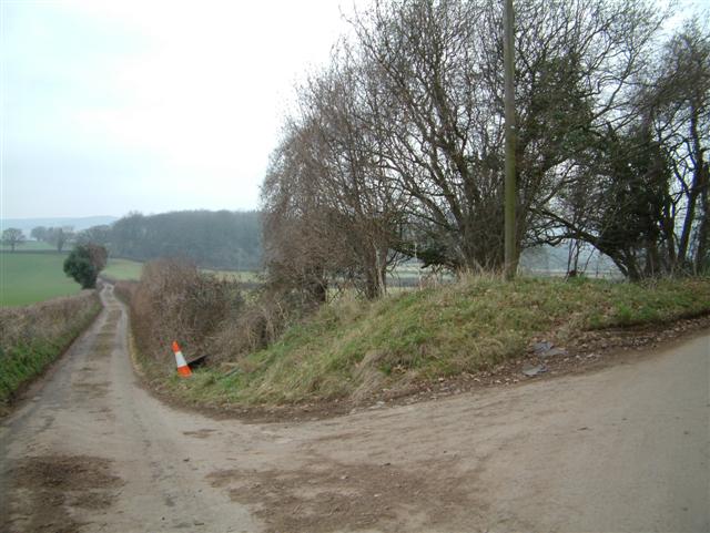
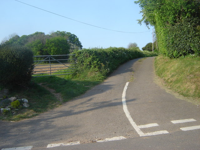
The woodland is crisscrossed by a network of well-maintained footpaths, allowing visitors to explore its hidden corners and discover its hidden treasures. These paths wind through the forest, providing glimpses of charming streams, small waterfalls, and secluded ponds. The tranquility of the woods makes it an ideal place for a leisurely stroll, an invigorating hike, or a peaceful picnic surrounded by nature.
Leys Brake is well-equipped for visitors, with ample parking facilities and designated picnic areas. It also offers educational opportunities, with information boards scattered throughout the woodland, providing facts about the local flora and fauna. Additionally, there are organized guided walks and nature trails available, allowing visitors to learn more about the ecosystem and history of the area.
Overall, Leys Brake in Monmouthshire is a breathtaking woodland retreat, offering visitors a chance to escape the hustle and bustle of daily life and reconnect with nature in a serene and idyllic setting.
If you have any feedback on the listing, please let us know in the comments section below.
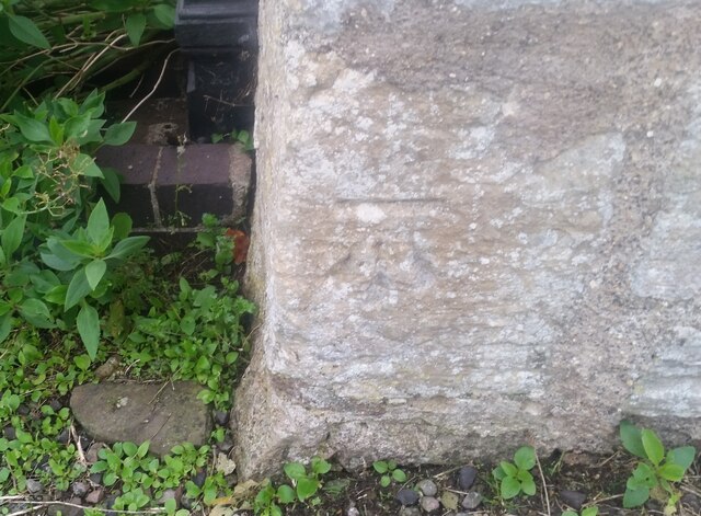
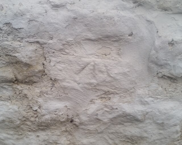
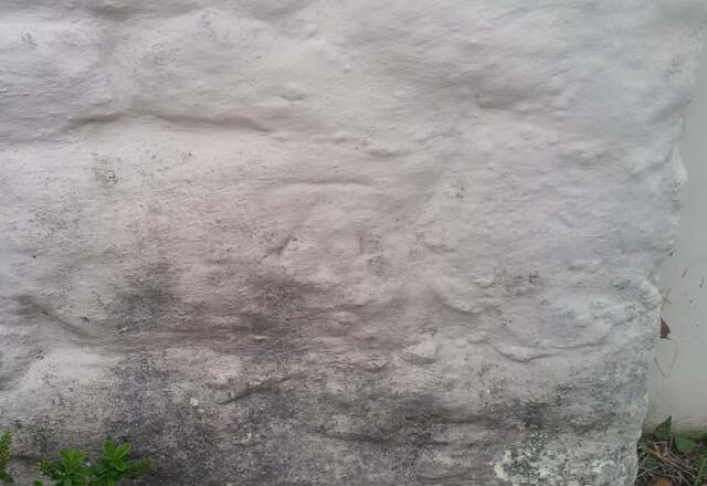
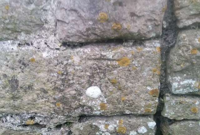
Leys Brake Images
Images are sourced within 2km of 51.595108/-2.8055135 or Grid Reference ST4488. Thanks to Geograph Open Source API. All images are credited.


Leys Brake is located at Grid Ref: ST4488 (Lat: 51.595108, Lng: -2.8055135)
Unitary Authority: Monmouthshire
Police Authority: Gwent
What 3 Words
///submitted.airliners.selects. Near Rogiet, Monmouthshire
Nearby Locations
Related Wikis

St Michael and All Angels Church, Llanfihangel Rogiet
St Michael and All Angels Church, Llanfihangel Rogiet, is a redundant church in the hamlet of Llanfihangel Rogiet near the village of Rogiet, Monmouthshire...

Rogiet
Rogiet (English: ; Welsh: Rhosied) is a small village and community (and electoral ward) in Monmouthshire, south east Wales, between Caldicot and Magor...

Rogiet Hoard
The Rogiet Hoard is a hoard of 3,778 Roman coins found at Rogiet, Monmouthshire, Wales in September 1998. The coins dated from 253 up until 295–296. The...
Undy
Undy (Welsh: Gwndy) is a village in Monmouthshire, south east Wales, adjoining the village of Magor with which it forms the community and parish of Magor...

St. Brides Netherwent
St. Brides Netherwent (Welsh: Sant-y-brid) is a parish and largely deserted village in Monmouthshire, south-east Wales. It is centred 2 miles north of...

St Mary's Church, Rogiet
The Church of St Mary is the parish church of Rogiet, a small rural village on the Caldicot Levels, 8 miles west of Chepstow, Monmouthshire, Wales. It...
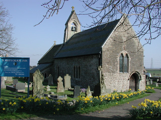
St Mary's Church, Undy
St Mary's Church, Undy is located in the village of Undy, in Monmouthshire, Wales. == History == The church dates to around the twelfth century. The pointed...
Undy A.F.C.
Undy Athletic Football Club is a Welsh association football club based in the village of Undy, Monmouthshire. The club plays in the Ardal South East league...
Have you been to Leys Brake?
Leave your review of Leys Brake below (or comments, questions and feedback).