Cumbernauld Village

Settlement in Dunbartonshire

Scotland

Cumbernauld Village

Cumbernauld Theatre Cumbernauld Theatre was founded in 1960, utilising a set of abandoned farm cottages.
Cumbernauld Theatre Credit: Euan Nelson

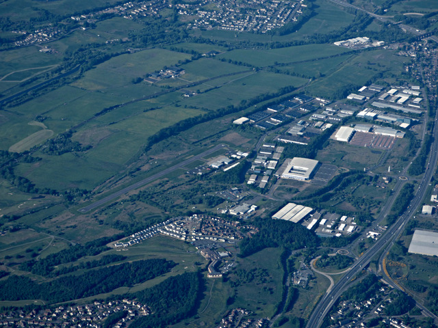
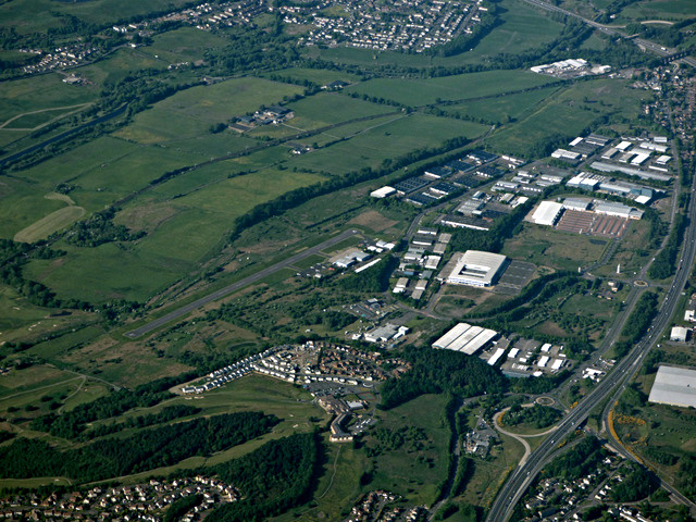
Cumbernauld Village is a small town located in the area of Dunbartonshire, Scotland. Situated approximately 14 miles northeast of Glasgow, it is nestled between the cities of Glasgow and Stirling. The village is part of the larger Cumbernauld town, but it maintains its own distinct charm and character.

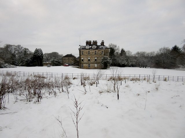
With a history dating back to the 13th century, Cumbernauld Village boasts a rich heritage. The town is known for its picturesque setting, surrounded by stunning countryside and rolling hills. The main focal point of the village is the Cumbernauld House, a grand mansion dating back to the 18th century, which adds to the historical ambiance of the area.

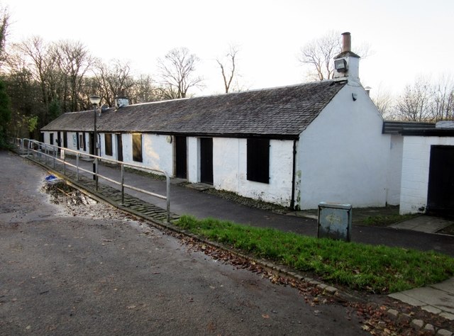
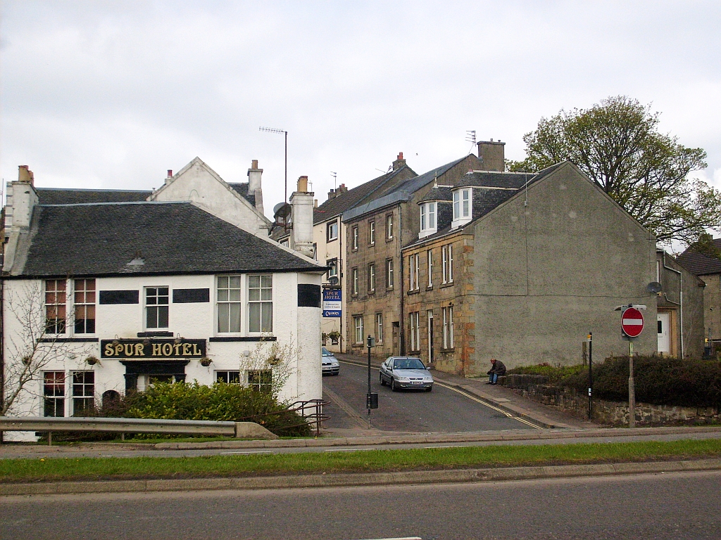
The village offers a range of amenities for its residents and visitors. There are several local shops, cafes, and restaurants, providing a variety of options for shopping and dining. The village also has a primary school, a church, and various community facilities, fostering a strong sense of community among its residents.

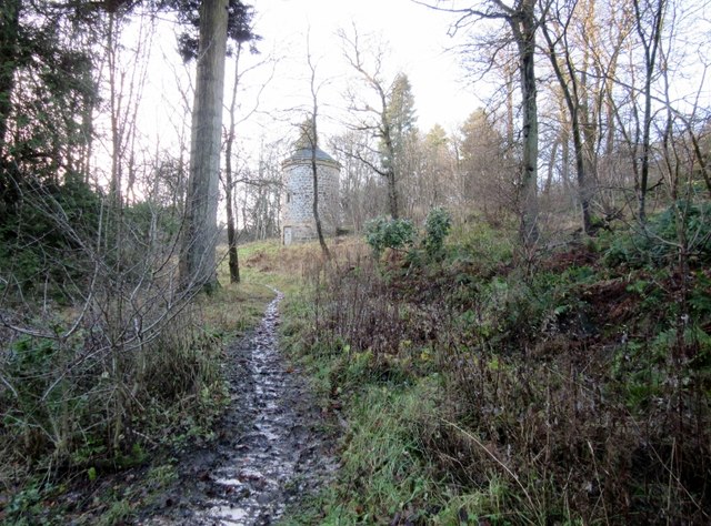
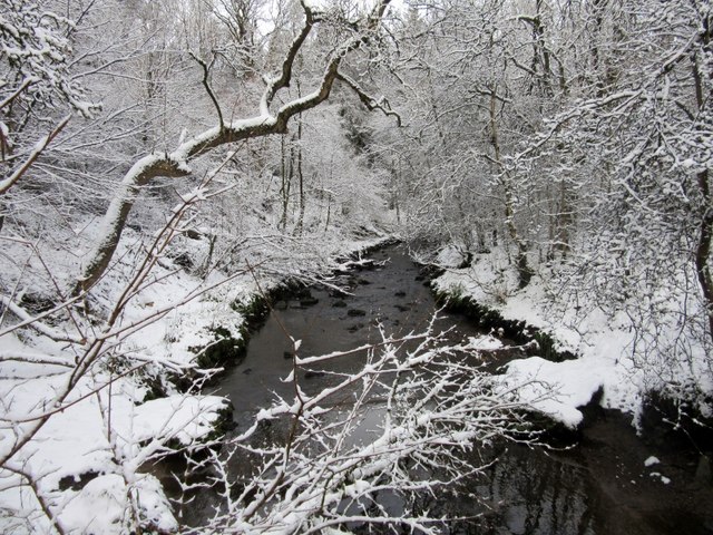
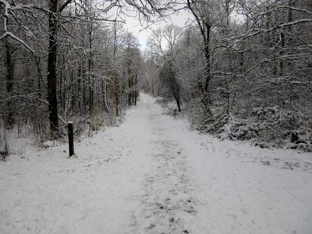
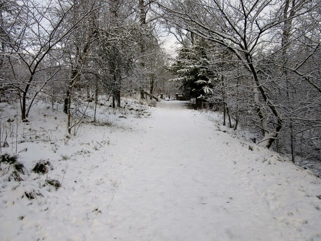
For outdoor enthusiasts, Cumbernauld Village provides easy access to beautiful natural landscapes. Nearby attractions include Cumbernauld Glen, a woodland area perfect for leisurely walks and picnics, and Palacerigg Country Park, home to a variety of wildlife and offering nature trails for exploration.

Transportation links are convenient, with regular bus services connecting Cumbernauld Village to surrounding areas. Additionally, the nearby Cumbernauld train station provides easy access to Glasgow and other major cities in Scotland.

Overall, Cumbernauld Village offers a peaceful and idyllic setting, making it an attractive place to live or visit for those seeking a combination of rural charm and easy access to urban amenities.

If you have any feedback on the listing, please let us know in the comments section below.

Cumbernauld Village Images

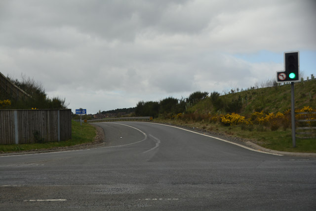
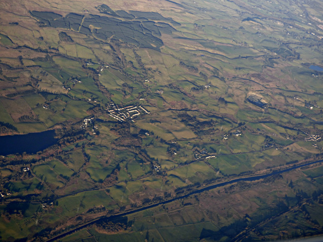
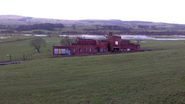
Images are sourced within 2km of 55.962941/-3.979655 or Grid Reference NS7676. Thanks to Geograph Open Source API. All images are credited.

Cumbernauld Theatre Cumbernauld Theatre was founded in 1960, utilising a set of abandoned farm cottages.
Cumbernauld Theatre
Cumbernauld Theatre was founded in 1960, utilising a set of abandoned farm cottages.
Doocot, Cumbernauld House Park Sitting within Cumbernauld House Park, this restored doocot dates from the sixteenth century.
Doocot, Cumbernauld House Park
Sitting within Cumbernauld House Park, this restored doocot dates from the sixteenth century.
Cumbernauld House Built on the site of Cumbernauld Castle, Cumbernauld House dates from 1731 and was built to a design by the renowned architect, William Bruce.  Its construction was commissioned by Lord John Fleming, 6th earl of Wigton.
Cumbernauld House
Built on the site of Cumbernauld Castle, Cumbernauld House dates from 1731 and was built to a design by the renowned architect, William Bruce. Its construction was commissioned by Lord John Fleming, 6th earl of Wigton.
Spur Hotel, Cumbernauld Village
Red Burn, Cumbernauld Glen Nature Reserve
Path, Cumbernauld Glen Nature Reserve
Crow Wood, Cumbernauld Glen Nature Reserve
Cumbernauld Airport from the air The airport is at Wardaprk in the north part of the town. The 820m asphalt runway can be clearly seen in this photo which was taken from a Prague bound flight from Glasgow.

Cumbernauld Airport web site <span class="nowrap"><a title="http://www.cumbernauldairport.org/" rel="nofollow ugc noopener" href="http://www.cumbernauldairport.org/">Link</a><img style="margin-left:2px;" alt="External link" title="External link - shift click to open in new window" src="https://s1.geograph.org.uk/img/external.png" width="10" height="10"/></span> .
Cumbernauld Airport from the air
The airport is at Wardaprk in the north part of the town. The 820m asphalt runway can be clearly seen in this photo which was taken from a Prague bound flight from Glasgow. Cumbernauld Airport web site LinkExternal link .
Cumbernauld town centre from the air Viewed from a Prague bound flight from Glasgow.
Cumbernauld town centre from the air
Viewed from a Prague bound flight from Glasgow.
North Lanarkshire : Briggs Equipment UK Looking from the M80 to a warehouse.
North Lanarkshire : Briggs Equipment UK
Looking from the M80 to a warehouse.
North Lanarkshire : The M80 Motorway - Junction 6 The slip road off from junction six towards Cumbernauld, Dullatur, Castlecary A8011.
North Lanarkshire : The M80 Motorway - Junction 6
The slip road off from junction six towards Cumbernauld, Dullatur, Castlecary A8011.
North Lanarkshire : The M80 Motorway - Junction 6 Heading up towards the M80 Motorway from the A8011.
North Lanarkshire : The M80 Motorway - Junction 6
Heading up towards the M80 Motorway from the A8011.
North Lanarkshire : The A8011 A road heading underneath the M80.
North Lanarkshire : The A8011
A road heading underneath the M80.
North Lanarkshire : Shell Petrol Station A sign showing fuel is 108.9 for unleaded.
North Lanarkshire : Shell Petrol Station
A sign showing fuel is 108.9 for unleaded.
Industrial Unit by the M80
Industrial Unit by the M80 Motorway
The Forth & Clyde Canal from the air Banton and Banton Loch can be seen beyond the canal.
The Forth & Clyde Canal from the air
Banton and Banton Loch can be seen beyond the canal.
Former colliery building, Dullatur The colliery at Dullatur was operated by the Cadzow Coal Company, with production ceasing in 1964.
Former colliery building, Dullatur
The colliery at Dullatur was operated by the Cadzow Coal Company, with production ceasing in 1964.
Show me another place!

Cumbernauld Village is located at Grid Ref: NS7676 (Lat: 55.962941, Lng: -3.979655)

Unitary Authority: North Lanarkshire

Police Authority: Lanarkshire

What 3 Words

///free.flows.aware. Near Cumbernauld, North Lanarkshire

Related Wikis

Cumbernauld Village

Cumbernauld Village (often referred to locally as just the Village) is an area of Cumbernauld. Whilst Cumbernauld was designated a new town in 1955, the...

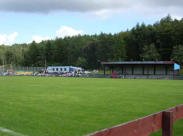
Cumbernauld United F.C.

Cumbernauld United Football Club are a football club based in Cumbernauld, North Lanarkshire, Scotland. They play at Guy's Meadow in the Cumbernauld Village...

Westerwood

Westerwood is an area in the north-east of Cumbernauld in North Lanarkshire, Scotland. Historically it was the site of a Roman Fort of which a video reconstruction...

Cumbernauld Castle

Cumbernauld Castle was the predecessor of Cumbernauld House in the Park in Cumbernauld. The Motte of the earliest castle survives, and stones of the second...

Nearby Amenities

Located within 500m of 55.962941,-3.979655
Motorway Junction
Old Inns Junction
Ref: 6
Source: survey
Lat/Long: 55.9649207/-3.9771832
Motorway Junction
Lat/Long: 55.962274/-3.9733028
Mini Roundabout
Lat/Long: 55.9591746/-3.9793495
Motorway Junction
Lat/Long: 55.9633139/-3.9729419
Turning Circle
Lat/Long: 55.9589839/-3.9785487
Give Way
Lat/Long: 55.9632357/-3.9736354
Mini Roundabout
Direction: clockwise
Lat/Long: 55.962915/-3.9796536
Mini Roundabout
Lat/Long: 55.9613962/-3.9821419
Barrier: bollard
Lat/Long: 55.9623589/-3.9767491
Cumbernauld Cycle Centre
Addr Housenumber: 15
Addr Postcode: G67 2RR
Addr Street: Main Street
Shop: bicycle
Lat/Long: 55.9621389/-3.9743147
Barrier: cycle_barrier
Cycle Barrier: double
Lat/Long: 55.9607397/-3.9856181
Post Box
Source: survey
Lat/Long: 55.9610384/-3.9823319
Bicycle Parking
Bicycle Parking: wall_loops
Capacity: 10
Covered: no
Note: Hoops on a free-standing stand. Wheeltwisters.
Lat/Long: 55.9599156/-3.9788216
Cumbernauld Village
Place: suburb
Wikidata: Q5194004
Wikipedia: en:Cumbernauld Village
Lat/Long: 55.9622098/-3.9770354
Generator Method: photovoltaic
Generator Output Electricity: yes
Generator Source: solar
Generator Type: solar_photovoltaic_panel
Location: roof
Power: generator
Lat/Long: 55.962263/-3.9835904
Bus Stop
Cumbernauld Village, Turning Circle (Stop 2)
Bus: yes
Departures Board: timetable
Naptan AtcoCode: 61601355
Naptan NaptanCode: 65232547
Public Transport: platform
Shelter: yes
Lat/Long: 55.9635919/-3.976054
Bus Stop
Cumbernauld Village, Turning Circle (Stop 1)
Bus: yes
Departures Board: timetable
Naptan AtcoCode: 61601354
Naptan NaptanCode: 65232725
Public Transport: platform
Shelter: yes
Lat/Long: 55.9636186/-3.9758088
Bus Stop
Cumbernauld Village, Dullatur Road at Letham Grange
Bus: yes
Departures Board: timetable
Naptan AtcoCode: 61601675
Naptan NaptanCode: 65242458
Public Transport: platform
Shelter: yes
Lat/Long: 55.9626582/-3.9867733
Bus Stop
Cumbernauld Village, Dullatur Road opp Letham Grange
Bus: yes
Departures Board: timetable
Naptan AtcoCode: 61601356
Naptan NaptanCode: 65298989
Public Transport: platform
Shelter: yes
Lat/Long: 55.9628876/-3.9864641
Post Box
Lat/Long: 55.9636785/-3.9854522
The data included in this document is from www.openstreetmap.org. The data is made available under ODbL.

Have you been to Cumbernauld Village?

Leave your review of Cumbernauld Village below (or comments, questions and feedback).