Wellington Wood
Wood, Forest in Northumberland
England
Wellington Wood

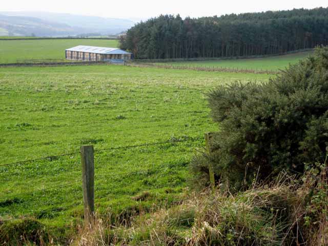
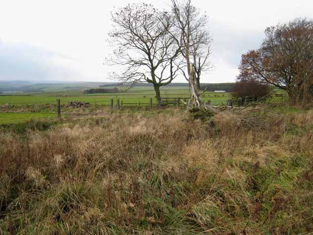
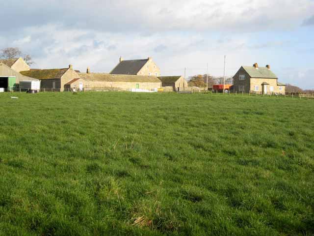
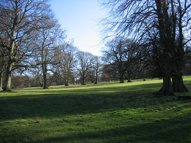
Wellington Wood, located in Northumberland, is a picturesque forest area that covers a vast expanse of land. It is known for its rich biodiversity and stunning natural beauty, attracting nature enthusiasts and tourists alike.
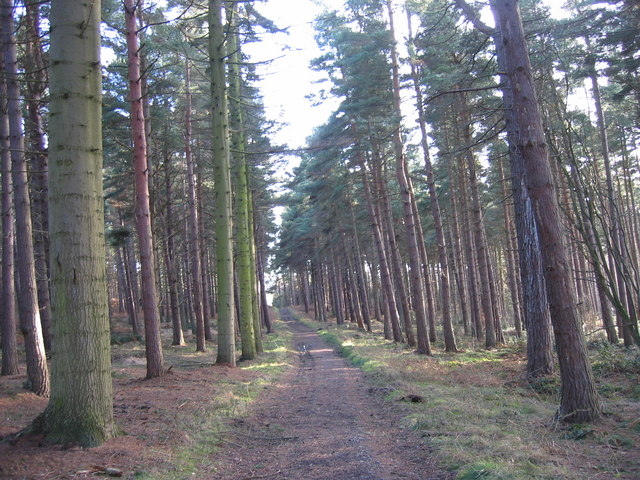
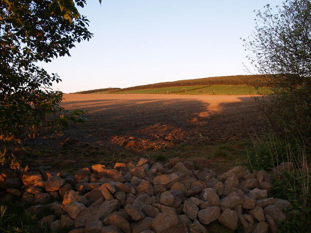
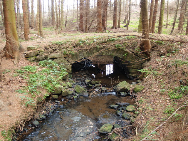
The wood is named after the famous Duke of Wellington, who had a deep admiration for nature and conservation. It is situated in the northern part of Northumberland, near the village of Wellington. The forest spans over 500 acres and is characterized by dense woodland, rolling hills, and tranquil streams.
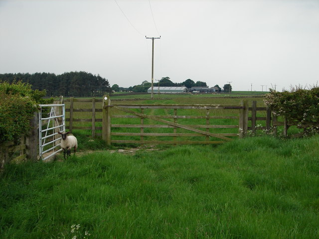
The wood is home to a diverse range of flora and fauna, making it a haven for wildlife enthusiasts. Visitors can expect to see a variety of species, including deer, badgers, foxes, and a wide array of bird species. The forest is also known for its vibrant display of wildflowers during the spring and summer months.
Wellington Wood offers a range of activities for visitors to enjoy. There are several well-marked walking trails that allow visitors to explore the forest at their own pace. These trails offer breathtaking views of the surrounding countryside and provide an opportunity to spot wildlife along the way. The wood also has picnic areas and designated camping spots for those looking to spend more time in nature.
Overall, Wellington Wood in Northumberland is a captivating destination for nature lovers and outdoor enthusiasts. Its natural beauty, diverse wildlife, and recreational activities make it a must-visit location for anyone seeking a peaceful and immersive forest experience.
If you have any feedback on the listing, please let us know in the comments section below.
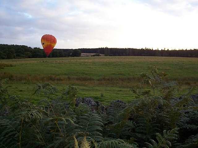
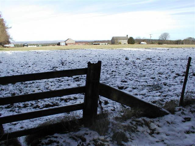
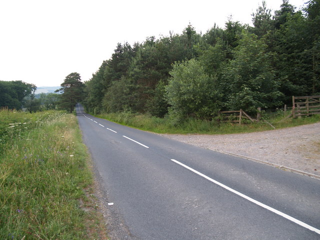
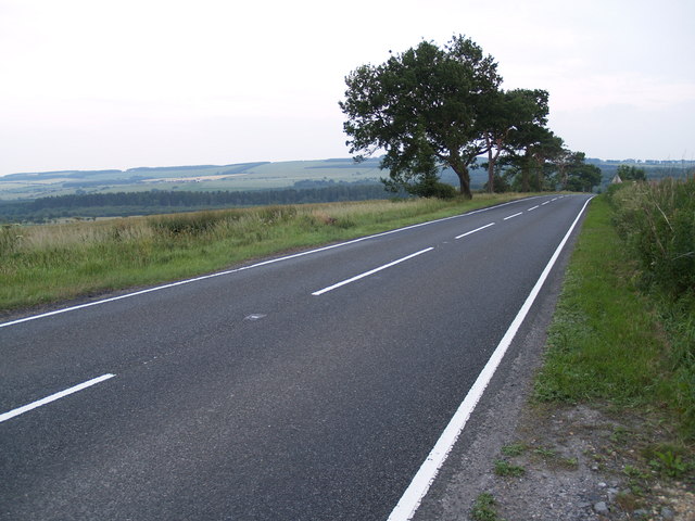
Wellington Wood Images
Images are sourced within 2km of 54.901133/-1.9652103 or Grid Reference NZ0256. Thanks to Geograph Open Source API. All images are credited.


Wellington Wood is located at Grid Ref: NZ0256 (Lat: 54.901133, Lng: -1.9652103)
Unitary Authority: Northumberland
Police Authority: Northumbria
What 3 Words
///messed.liver.upsetting. Near Healey, Northumberland
Related Wikis

Minsteracres
Minsteracres is an 18th-century mansion house, now a Christian retreat centre, in Northumberland, England. It is a Grade II listed building.The house was...

Healey, Northumberland
Healey is a rural estate and civil parish in Northumberland, England, situated between Riding Mill to the north and Slaley to the south. The neo-Norman...
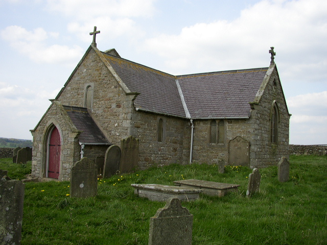
St Andrew's Church, Shotley
St Andrew's Church, Shotley, is a redundant Anglican church standing in an isolated position at a height of 960 feet (293 m) on Greymare Hill in Northumberland...

Slaley Hall
Slaley Hall is a country house golf resort in Northumberland in North East England, built by local developers Seamus O'Carroll and John Rourke which hosted...

Hindley, Northumberland
Hindley is a small hamlet, comprising around 20 residences. It is in the parish of Stocksfield and is just to the south of Stocksfield in Northumberland...
Apperley Dene
Apperley Dene is a hamlet in Stocksfield parish, Northumberland, England. It is situated south of the River Tyne between Hexham and Newcastle upon Tyne...

Colpitts Grange
Colpitts Grange is a hamlet in Northumberland, England. It is about 7 miles (11 km) to the south-east of Hexham. == Governance == Colpitts Grange is in...

Derwent Reservoir (North East England)
The Derwent Reservoir is a reservoir on the River Derwent, on the border between County Durham and Northumberland, in England. It is west of Consett. It...
Have you been to Wellington Wood?
Leave your review of Wellington Wood below (or comments, questions and feedback).