Woodcock Plantation
Wood, Forest in Northumberland
England
Woodcock Plantation

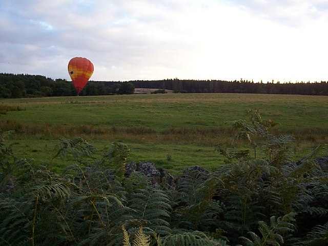
Woodcock Plantation is a nature reserve located in Northumberland, England. Situated within the heart of a dense forest, it spans over a vast area and is known for its rich biodiversity and natural beauty. The plantation is named after the woodcock bird, which can often be spotted in the area.
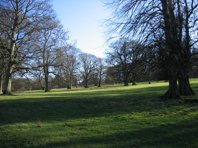
The woodland of Woodcock Plantation is predominantly composed of mature oak and beech trees, creating a dense canopy that provides shelter and a habitat for a wide variety of flora and fauna. The forest floor is covered in a thick carpet of mosses, ferns, and wildflowers, adding to the enchanting atmosphere.
The plantation is crisscrossed with a network of well-maintained trails, allowing visitors to explore the area on foot or by bike. The trails wind through the woodland, offering glimpses of tranquil ponds, babbling brooks, and picturesque meadows. Along the way, visitors may encounter diverse wildlife, including deer, foxes, and a plethora of bird species.
Woodcock Plantation is also home to a small visitor center, where educational displays and exhibitions provide information about the local ecosystem and its conservation efforts. The center offers guided tours and activities for visitors of all ages, aiming to foster an appreciation for the natural world.
Overall, Woodcock Plantation offers a peaceful and immersive experience in nature, allowing visitors to escape the hustle and bustle of everyday life and reconnect with the beauty of the Northumberland forest.
If you have any feedback on the listing, please let us know in the comments section below.
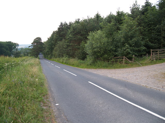
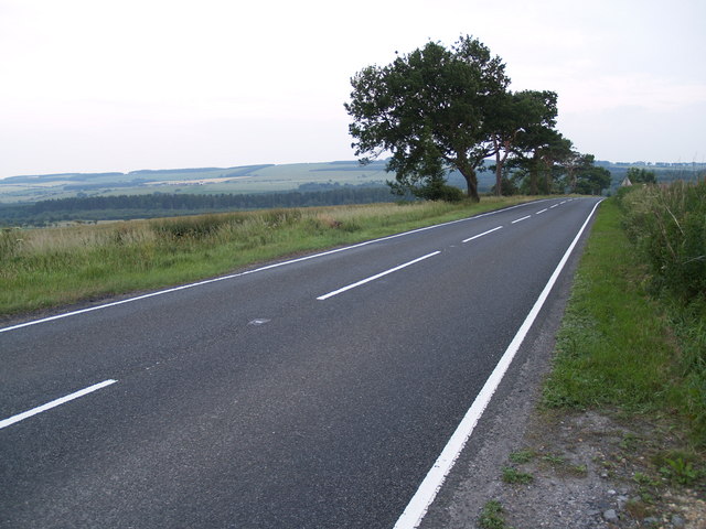
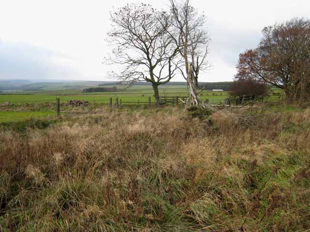
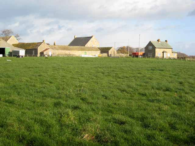
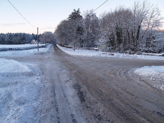
Woodcock Plantation Images
Images are sourced within 2km of 54.898964/-1.9571974 or Grid Reference NZ0256. Thanks to Geograph Open Source API. All images are credited.


Woodcock Plantation is located at Grid Ref: NZ0256 (Lat: 54.898964, Lng: -1.9571974)
Unitary Authority: Northumberland
Police Authority: Northumbria
What 3 Words
///efficient.lofts.staked. Near Healey, Northumberland
Related Wikis

Minsteracres
Minsteracres is an 18th-century mansion house, now a Christian retreat centre, in Northumberland, England. It is a Grade II listed building.The house was...
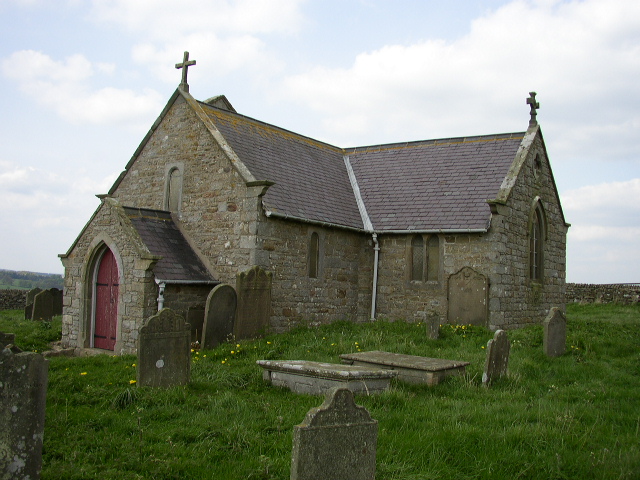
St Andrew's Church, Shotley
St Andrew's Church, Shotley, is a redundant Anglican church standing in an isolated position at a height of 960 feet (293 m) on Greymare Hill in Northumberland...

Healey, Northumberland
Healey is a rural estate and civil parish in Northumberland, England, situated between Riding Mill to the north and Slaley to the south. The neo-Norman...
Apperley Dene
Apperley Dene is a hamlet in Stocksfield parish, Northumberland, England. It is situated south of the River Tyne between Hexham and Newcastle upon Tyne...

Hindley, Northumberland
Hindley is a small hamlet, comprising around 20 residences. It is in the parish of Stocksfield and is just to the south of Stocksfield in Northumberland...

Slaley Hall
Slaley Hall is a country house golf resort in Northumberland in North East England, built by local developers Seamus O'Carroll and John Rourke which hosted...

Derwent Reservoir (North East England)
The Derwent Reservoir is a reservoir on the River Derwent, on the border between County Durham and Northumberland, in England. It is west of Consett. It...

Colpitts Grange
Colpitts Grange is a hamlet in Northumberland, England. It is about 7 miles (11 km) to the south-east of Hexham. == Governance == Colpitts Grange is in...
Nearby Amenities
Located within 500m of 54.898964,-1.9571974Have you been to Woodcock Plantation?
Leave your review of Woodcock Plantation below (or comments, questions and feedback).