Hand Leasow Wood

Wood, Forest in Staffordshire Stafford

England

Hand Leasow Wood

Banktop Farm near Gratwich
Banktop Farm near Gratwich Credit: Alan Murray-Rust

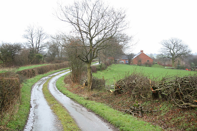
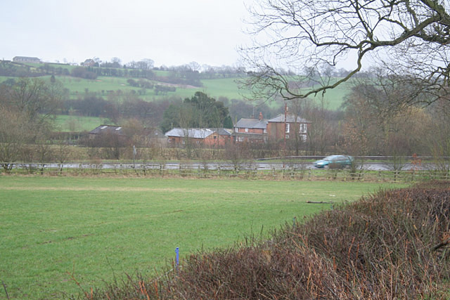
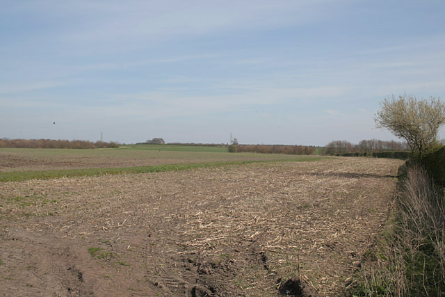
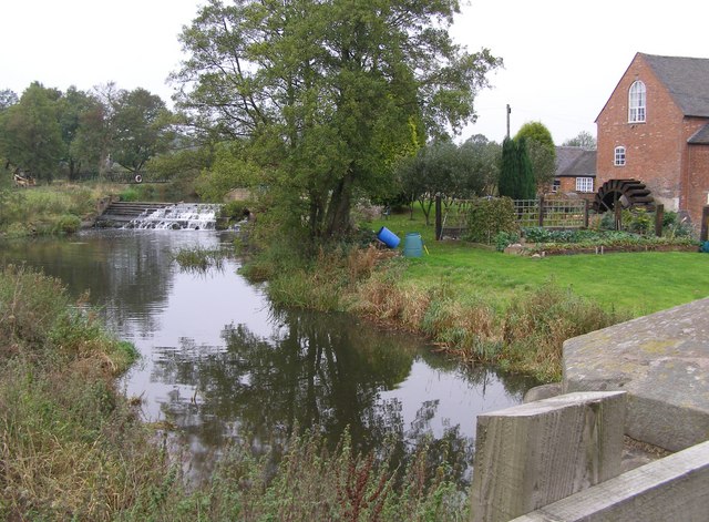
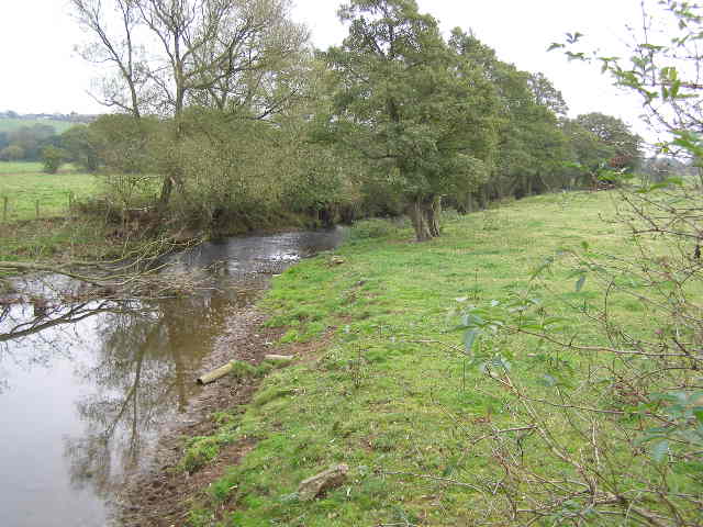
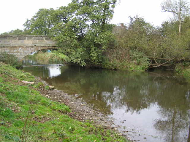
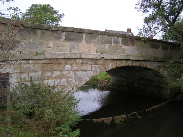
Hand Leasow Wood is a picturesque forest located in Staffordshire, England. Covering an area of approximately 50 acres, it is known for its natural beauty, diverse wildlife, and tranquil atmosphere. The wood is situated near the village of Hand, offering a peaceful retreat for nature enthusiasts and visitors seeking a break from the hustle and bustle of city life.

The wood is primarily composed of mature deciduous trees, including oak, beech, birch, and ash, which create a stunning canopy during the summer months. The forest floor is covered in a thick layer of leaf litter, providing a habitat for a range of woodland flora such as bluebells, wood anemones, and wild garlic.

Hand Leasow Wood is home to a variety of wildlife, making it a popular spot for birdwatching and wildlife observation. Visitors may spot native species such as woodpeckers, nuthatches, and tawny owls, as well as small mammals like squirrels and hedgehogs. The wood is also known for its population of roe deer, which can occasionally be seen gracefully roaming through the trees.

There are several well-maintained walking trails that wind through the wood, allowing visitors to explore its beauty at their own pace. These paths offer stunning views of the surrounding countryside and provide opportunities for peaceful contemplation or family picnics.

Overall, Hand Leasow Wood is a captivating natural haven that offers a delightful escape into nature, showcasing the beauty and tranquility of Staffordshire's woodlands.

If you have any feedback on the listing, please let us know in the comments section below.

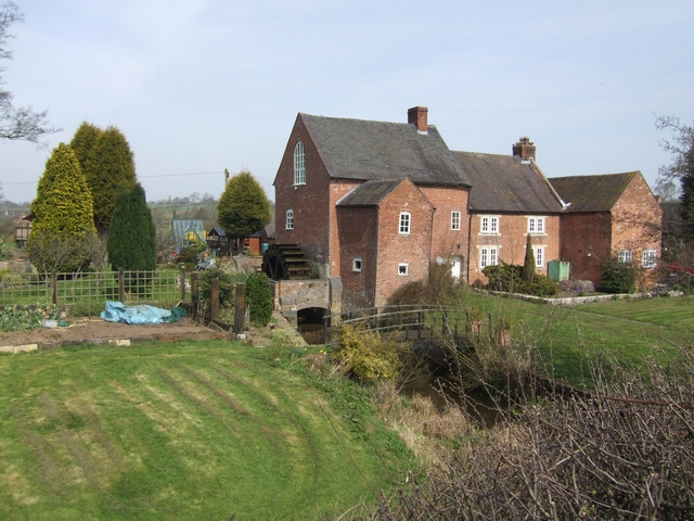
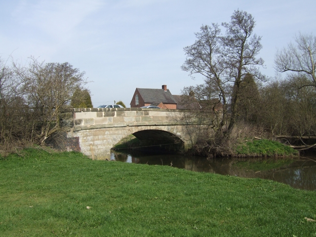
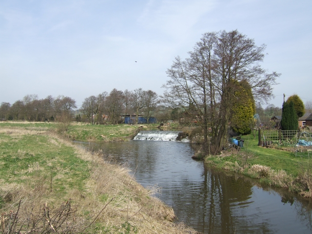
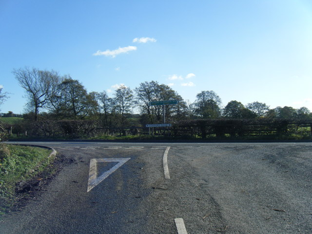
Hand Leasow Wood Images

Images are sourced within 2km of 52.868713/-1.9591356 or Grid Reference SK0230. Thanks to Geograph Open Source API. All images are credited.

Banktop Farm near Gratwich
Gratwich Church The rector clearly did better than such a small church would imply - <a href="https://www.geograph.org.uk/gridref/SK0331">SK0331</a>
Gratwich Church
The rector clearly did better than such a small church would imply - SK0331
Gratwich A straggling hamlet of 2 or 3 farms, some cottages and a small church.
Gratwich
A straggling hamlet of 2 or 3 farms, some cottages and a small church.
Common Lane, Gratwich My favourite type of dual carriageway! Note also the traditional hedging being carried out on the right hand side.
Common Lane, Gratwich
My favourite type of dual carriageway! Note also the traditional hedging being carried out on the right hand side.
The Old Rectory, Gratwich A substantial house in comparison to the tiny church <a href="https://www.geograph.org.uk/gridref/SK0231">SK0231</a>.
The reason for the giant dragonfly is a mystery.
The Old Rectory, Gratwich
A substantial house in comparison to the tiny church SK0231. The reason for the giant dragonfly is a mystery.
In the Blithe Valley. The A518 is the main road from Uttoxeter to Stafford
In the Blithe Valley.
The A518 is the main road from Uttoxeter to Stafford
Near Fradswell Heath The high ground in the centre of the picture is unnamed but sports a trig point.
Near Fradswell Heath
The high ground in the centre of the picture is unnamed but sports a trig point.
Burndhurst Mill, near Gratwich This view of Burndhurst Mill, from the A518 road bridge over the River Blithe, shows the water wheel and the weir.
Burndhurst Mill, near Gratwich
This view of Burndhurst Mill, from the A518 road bridge over the River Blithe, shows the water wheel and the weir.
River Blithe scene This meandering mature river appears to be following the 110-115m contour, at least in this vicinity. This view is facing south along the river bank and the water level is not a lot different to the height of the fields.
River Blithe scene
This meandering mature river appears to be following the 110-115m contour, at least in this vicinity. This view is facing south along the river bank and the water level is not a lot different to the height of the fields.
River Blithe This view from the bank of River Blithe shows the road bridge carrying the A518. On the right hand side is the tail-race stream from the mill, which is a short distance beyond and just to the right of the bridge.
River Blithe
This view from the bank of River Blithe shows the road bridge carrying the A518. On the right hand side is the tail-race stream from the mill, which is a short distance beyond and just to the right of the bridge.
Road Bridge on Stafford Road, Gratwich This is a close-up of the bridge.
Road Bridge on Stafford Road, Gratwich
This is a close-up of the bridge.
Bus-shelter near Burndhurst Mill This bus shelter is on the route from Stafford to Uttoxeter.
Bus-shelter near Burndhurst Mill
This bus shelter is on the route from Stafford to Uttoxeter.
Burndhurst Mill on the River Blithe Watermill with undershot wheel.
Burndhurst Mill on the River Blithe
Watermill with undershot wheel.
River Blithe bridge at Burndhurst Mill The mill race enters the river from the right.
River Blithe bridge at Burndhurst Mill
The mill race enters the river from the right.
Mill leat overflow weir at Burndhurst Mill Water returns to the River Blithe upstream of Burndhurst Mill.
Mill leat overflow weir at Burndhurst Mill
Water returns to the River Blithe upstream of Burndhurst Mill.
Gratwich Lane and village sign
A518/Mill Lane junction
A518 at milepost
A518 at milepost
Show me another place!

Hand Leasow Wood is located at Grid Ref: SK0230 (Lat: 52.868713, Lng: -1.9591356)

Administrative County: Staffordshire

District: Stafford

Police Authority: Staffordshire

What 3 Words

///applied.incoming.canal. Near Uttoxeter, Staffordshire

Nearby Locations

Hand Leasow Wood

Related Wikis

Grindley railway station

Grindley railway station was a former British railway station to serve the village of Grindley in Staffordshire. It was opened by the Stafford and Uttoxeter...

Gratwich

Gratwich is a village and former civil parish, now in the parish of Kingstone, in the East Staffordshire district, in the county of Staffordshire, England...

Chartley Moss

Chartley Moss is a 105.80 hectare biological Site of Special Scientific Interest in Staffordshire, notified in 1987. The area has been designated as an...
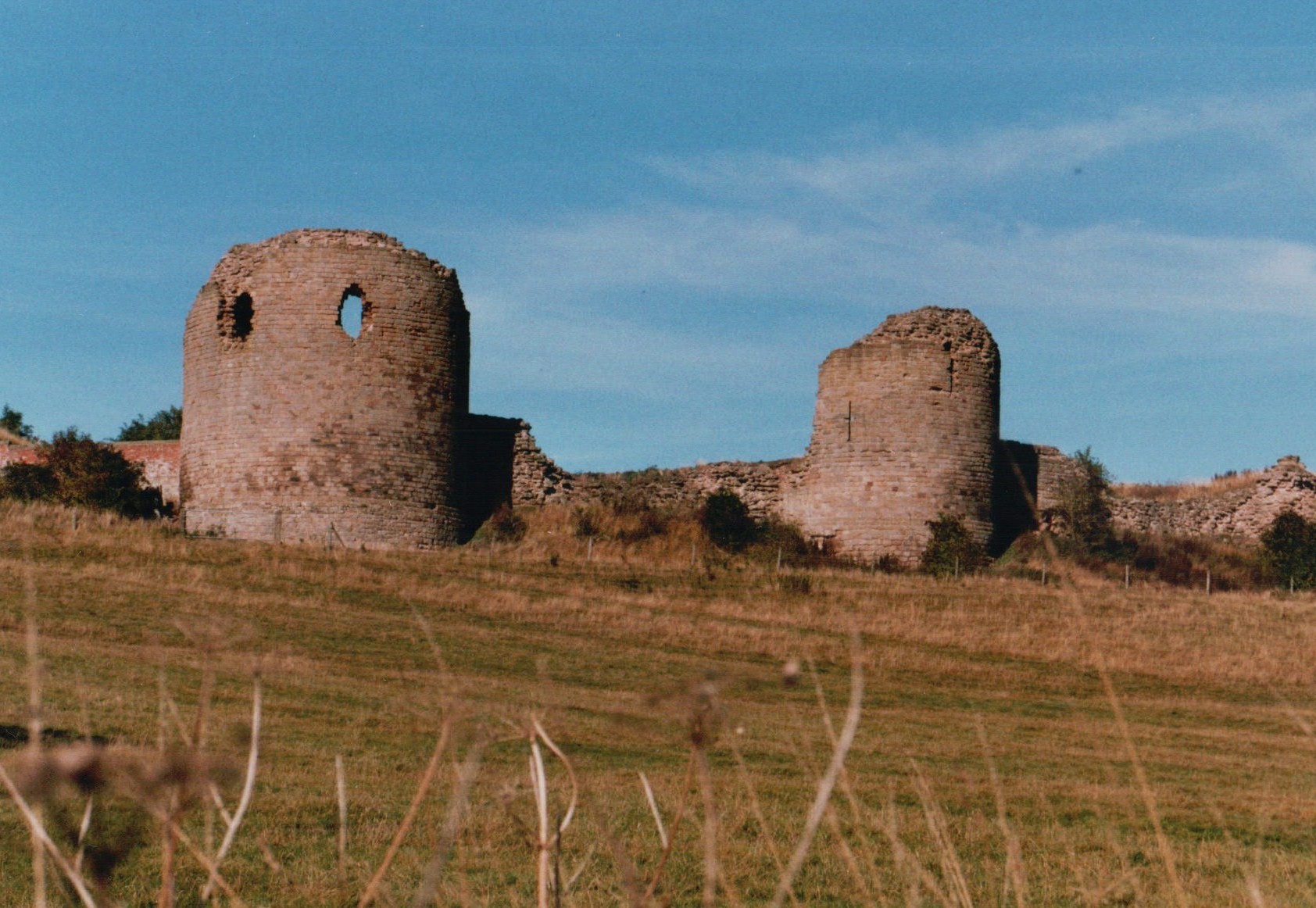
Chartley Castle

Chartley Castle lies in ruins to the north of the village of Stowe-by-Chartley in Staffordshire, between Stafford and Uttoxeter (grid reference SK010285...

Kingstone, Staffordshire

Kingstone is a village and civil parish within the English county of Staffordshire. == Population == The 2011 census recorded a population of 629 in 249...

Chartley railway station

Chartley railway station was a former British railway station to serve the village of Stowe-by-Chartley in Staffordshire. It was opened by the Stafford...
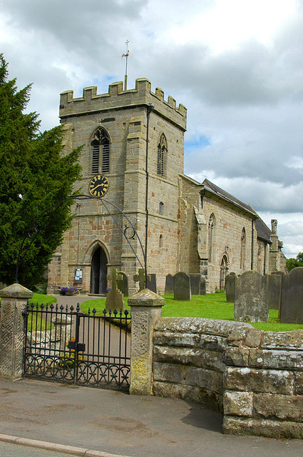
Stowe-by-Chartley

Stowe-by-Chartley is a village and civil parish in the Borough of Stafford, Staffordshire, England. According to the parish council, the parish includes...
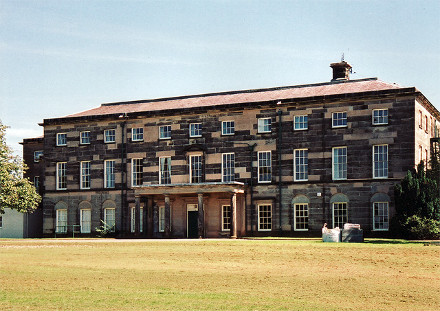
Loxley Hall

Loxley Hall is an early-19th-century country house near Uttoxeter, Staffordshire, now occupied by a Staffordshire County Council special school for boys...

Nearby Amenities

Located within 500m of 52.868713,-1.9591356
Power: tower
Source: Bing
Lat/Long: 52.8653605/-1.9629749
The data included in this document is from www.openstreetmap.org. The data is made available under ODbL.

Have you been to Hand Leasow Wood?

Leave your review of Hand Leasow Wood below (or comments, questions and feedback).