Fotherley Plantation
Wood, Forest in Northumberland
England
Fotherley Plantation
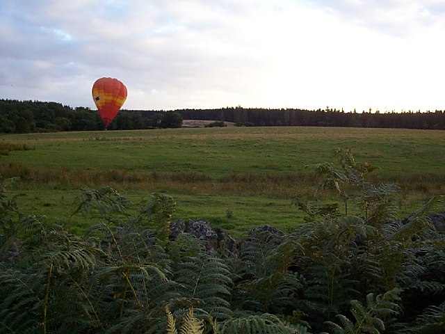
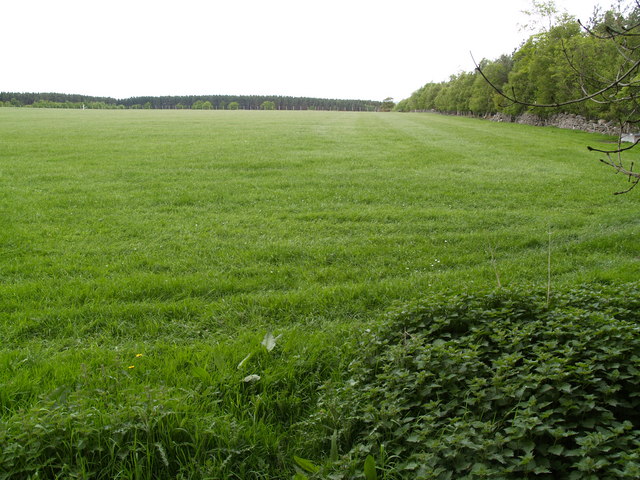
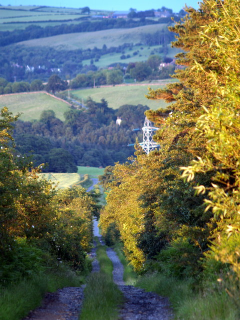
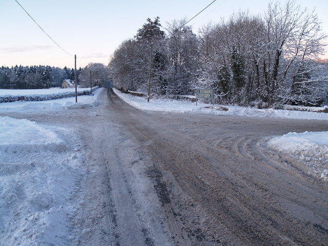
Fotherley Plantation is a charming woodland area located in the county of Northumberland, England. Situated in the northernmost part of the country, it covers an extensive area of approximately 500 hectares (1,235 acres). The plantation is known for its diverse range of tree species, making it a significant habitat for various wildlife.
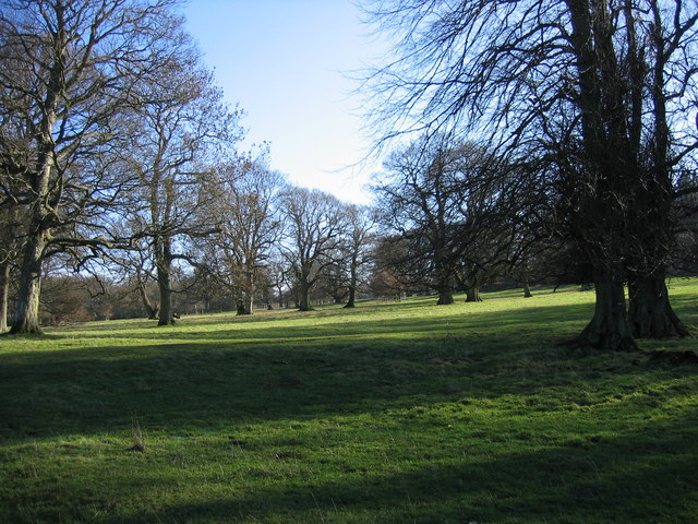
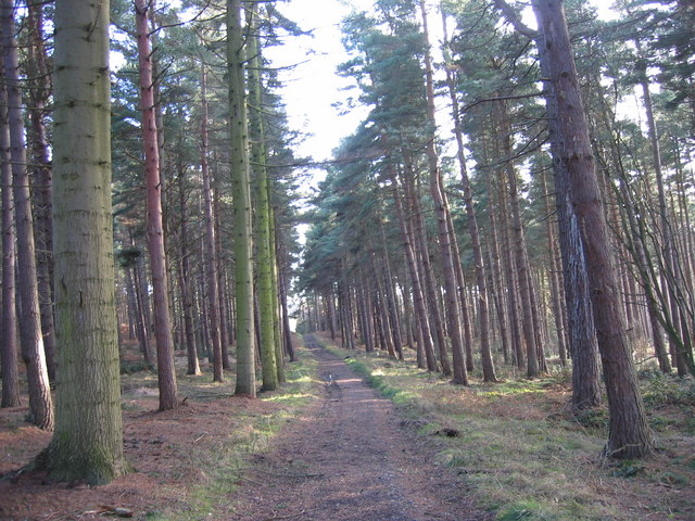
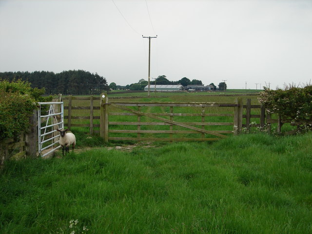
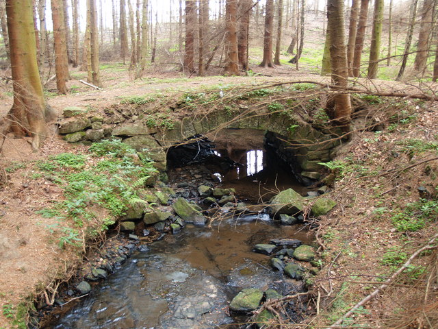
The woodland consists of a mixture of coniferous and deciduous trees, including Scots pine, oak, beech, and birch. These trees create a rich and thriving ecosystem, providing shelter and food for a wide range of animal species. Visitors to Fotherley Plantation can expect to encounter many native woodland creatures, such as deer, foxes, squirrels, and a variety of bird species.
The plantation offers numerous walking trails and paths, allowing visitors to explore the serene beauty of the woodlands. These trails cater to different levels of fitness and interests, ensuring there is something for everyone. The overall atmosphere of Fotherley Plantation provides a peaceful and tranquil escape from the hustle and bustle of everyday life.
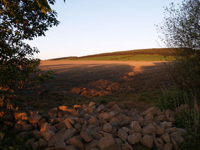
Managed by the local forestry commission, the plantation also plays an essential role in sustainable timber production. Periodic tree felling and replanting occur to maintain a healthy and thriving woodland environment, ensuring the long-term sustainability of the area.
Fotherley Plantation is a beloved natural asset in Northumberland, cherished by locals and visitors alike for its beauty, biodiversity, and recreational opportunities. Whether one seeks a quiet walk, a chance to observe wildlife, or simply a connection to nature, Fotherley Plantation offers an enriching experience for all who visit.
If you have any feedback on the listing, please let us know in the comments section below.
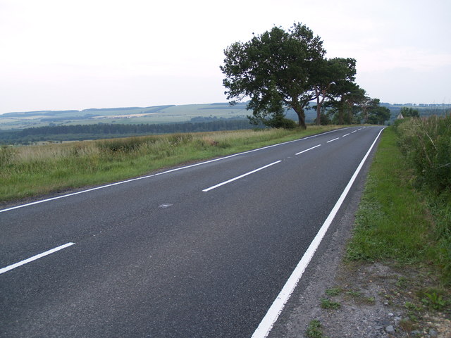
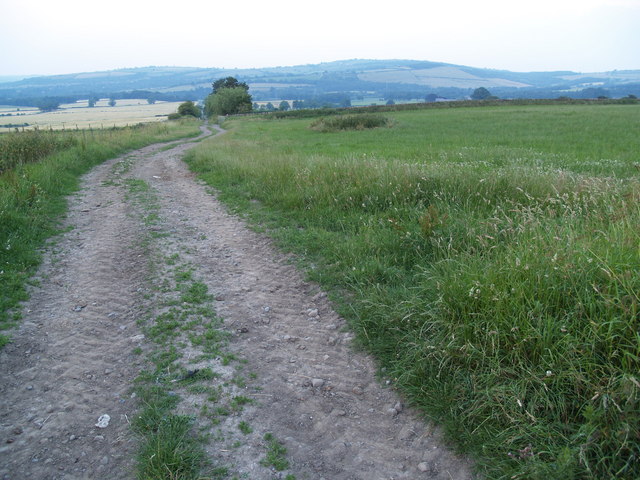
Fotherley Plantation Images
Images are sourced within 2km of 54.907322/-1.95775 or Grid Reference NZ0256. Thanks to Geograph Open Source API. All images are credited.


Fotherley Plantation is located at Grid Ref: NZ0256 (Lat: 54.907322, Lng: -1.95775)
Unitary Authority: Northumberland
Police Authority: Northumbria
What 3 Words
///parsnip.perusing.firework. Near Healey, Northumberland
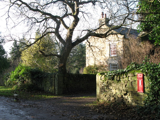
Related Wikis

Minsteracres
Minsteracres is an 18th-century mansion house, now a Christian retreat centre, in Northumberland, England. It is a Grade II listed building.The house was...

Healey, Northumberland
Healey is a rural estate and civil parish in Northumberland, England, situated between Riding Mill to the north and Slaley to the south. The neo-Norman...
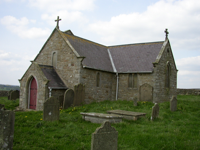
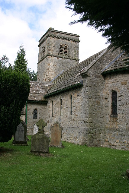
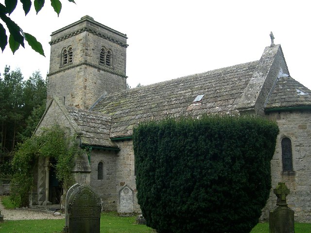
St Andrew's Church, Shotley
St Andrew's Church, Shotley, is a redundant Anglican church standing in an isolated position at a height of 960 feet (293 m) on Greymare Hill in Northumberland...

Hindley, Northumberland
Hindley is a small hamlet, comprising around 20 residences. It is in the parish of Stocksfield and is just to the south of Stocksfield in Northumberland...
Apperley Dene
Apperley Dene is a hamlet in Stocksfield parish, Northumberland, England. It is situated south of the River Tyne between Hexham and Newcastle upon Tyne...

Broomley
Broomley is a village in the civil parish of Stocksfield, in Northumberland, England. It is situated between Hexham and Newcastle upon Tyne, to the south...

New Ridley
New Ridley is a hamlet in the county of Northumberland, England. It is in the parish of Stocksfield and the parliamentary constituency of Hexham. It is...

Slaley Hall
Slaley Hall is a country house golf resort in Northumberland in North East England, built by local developers Seamus O'Carroll and John Rourke which hosted...
Nearby Amenities
Located within 500m of 54.907322,-1.95775Have you been to Fotherley Plantation?
Leave your review of Fotherley Plantation below (or comments, questions and feedback).