The Lake
Lake, Pool, Pond, Freshwater Marsh in Northumberland
England
The Lake

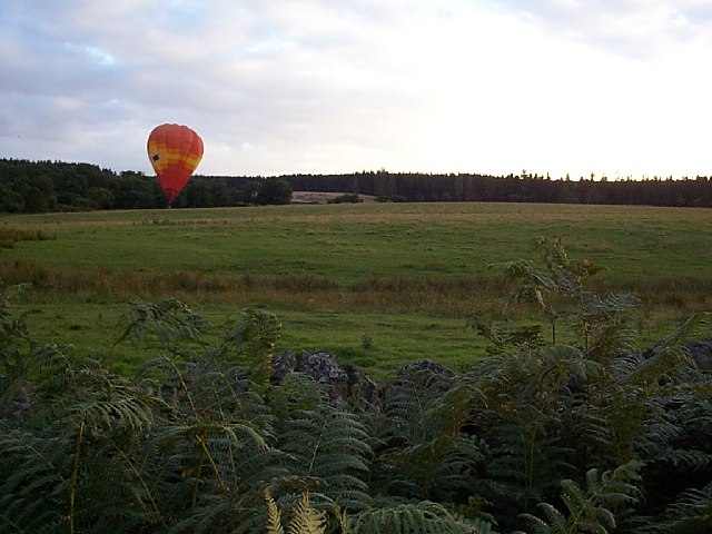
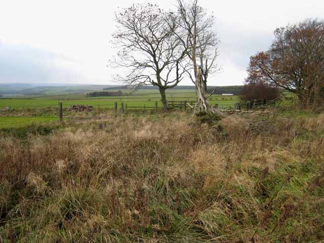
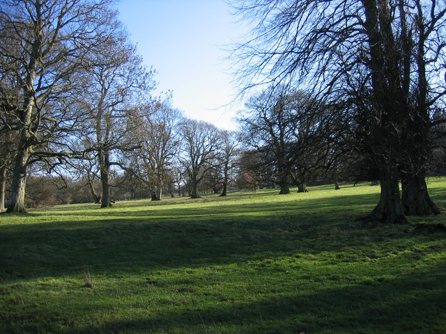
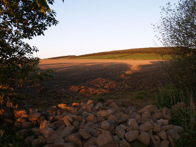
The Lake, located in Northumberland, is an enchanting body of water that offers a tranquil and picturesque setting for visitors to enjoy. Stretching over an area of approximately 100 acres, this freshwater lake is surrounded by lush greenery and rolling hills, creating a stunning natural landscape.
The lake itself is characterized by its crystal-clear waters, reflecting the beauty of the surrounding scenery. It provides an ideal habitat for a variety of aquatic plants and animals, making it a haven for nature enthusiasts. The lake is home to numerous species of fish, including perch, pike, and roach, attracting anglers who seek a peaceful fishing experience.
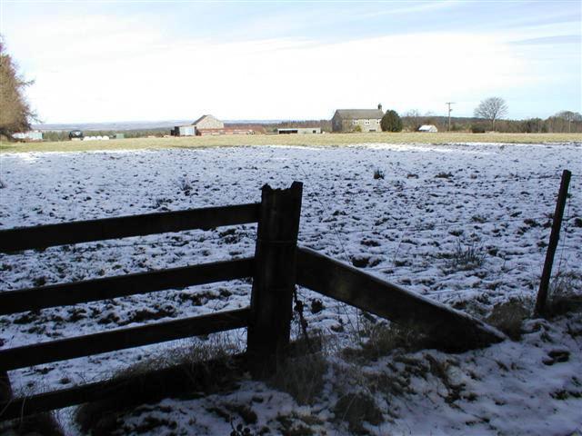
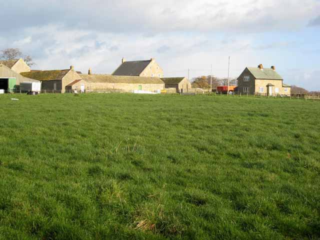
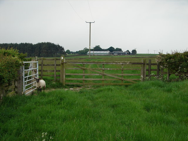
In addition to the lake, the area also boasts a pool, pond, and freshwater marsh, all of which contribute to the diverse ecosystem. The pool is a smaller, shallow body of water connected to the lake, providing a safe haven for smaller aquatic creatures. The pond, on the other hand, is a serene and secluded spot that offers a tranquil retreat for visitors. The freshwater marsh, with its marshy vegetation and vibrant wildlife, serves as an important habitat for various bird species, including herons and ducks.
The Lake in Northumberland is a popular destination for outdoor activities such as boating, kayaking, and birdwatching. Its peaceful ambiance and natural beauty make it an ideal spot for relaxation and reflection amidst the wonders of nature. Whether exploring the lake's waters or simply admiring its serene surroundings, visitors are sure to be captivated by the tranquility and beauty that The Lake has to offer.
If you have any feedback on the listing, please let us know in the comments section below.
The Lake Images
Images are sourced within 2km of 54.899181/-1.9612202 or Grid Reference NZ0256. Thanks to Geograph Open Source API. All images are credited.


The Lake is located at Grid Ref: NZ0256 (Lat: 54.899181, Lng: -1.9612202)
Unitary Authority: Northumberland
Police Authority: Northumbria
What 3 Words
///dynamic.dressing.shook. Near Healey, Northumberland
Related Wikis

Minsteracres
Minsteracres is an 18th-century mansion house, now a Christian retreat centre, in Northumberland, England. It is a Grade II listed building.The house was...
St Andrew's Church, Shotley
St Andrew's Church, Shotley, is a redundant Anglican church standing in an isolated position at a height of 960 feet (293 m) on Greymare Hill in Northumberland...

Healey, Northumberland
Healey is a rural estate and civil parish in Northumberland, England, situated between Riding Mill to the north and Slaley to the south. The neo-Norman...

Slaley Hall
Slaley Hall is a country house golf resort in Northumberland in North East England, built by local developers Seamus O'Carroll and John Rourke which hosted...
Apperley Dene
Apperley Dene is a hamlet in Stocksfield parish, Northumberland, England. It is situated south of the River Tyne between Hexham and Newcastle upon Tyne...

Hindley, Northumberland
Hindley is a small hamlet, comprising around 20 residences. It is in the parish of Stocksfield and is just to the south of Stocksfield in Northumberland...

Derwent Reservoir (North East England)
The Derwent Reservoir is a reservoir on the River Derwent, on the border between County Durham and Northumberland, in England. It is west of Consett. It...

Colpitts Grange
Colpitts Grange is a hamlet in Northumberland, England. It is about 7 miles (11 km) to the south-east of Hexham. == Governance == Colpitts Grange is in...
Nearby Amenities
Located within 500m of 54.899181,-1.9612202Have you been to The Lake?
Leave your review of The Lake below (or comments, questions and feedback).