Andrews' Coppice
Wood, Forest in Worcestershire Bromsgrove
England
Andrews' Coppice
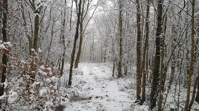
Andrews' Coppice is a picturesque woodland located in Worcestershire, England. Covering an area of approximately 30 acres, this ancient forest is a haven for nature enthusiasts and offers a tranquil escape from the hustle and bustle of modern life.
The coppice is predominantly made up of oak trees, but also features a diverse range of other species such as ash, beech, and birch. The dense canopy of these towering trees creates a cool and shaded environment beneath, providing a perfect habitat for a variety of wildlife.
Visitors to Andrews' Coppice can enjoy leisurely walks along the well-maintained paths that wind through the woodland. These paths offer stunning views of the surrounding countryside and provide opportunities for birdwatching and wildlife spotting. The forest is home to a rich array of bird species, including woodpeckers, owls, and thrushes.
In addition to its natural beauty, Andrews' Coppice also holds historical significance. The woodland has been carefully managed and used for traditional woodland crafts such as charcoal making and hazel coppicing for centuries. This sustainable management has allowed the forest to thrive and maintain its ecological balance.
The coppice is open to the public all year round, and visitors are encouraged to respect the natural environment and adhere to any guidelines or restrictions in place. Whether it's a peaceful stroll through the woods or an opportunity to connect with nature, Andrews' Coppice is a hidden gem in Worcestershire that offers a delightful experience for all who visit.
If you have any feedback on the listing, please let us know in the comments section below.
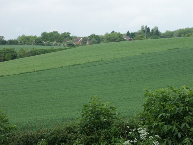
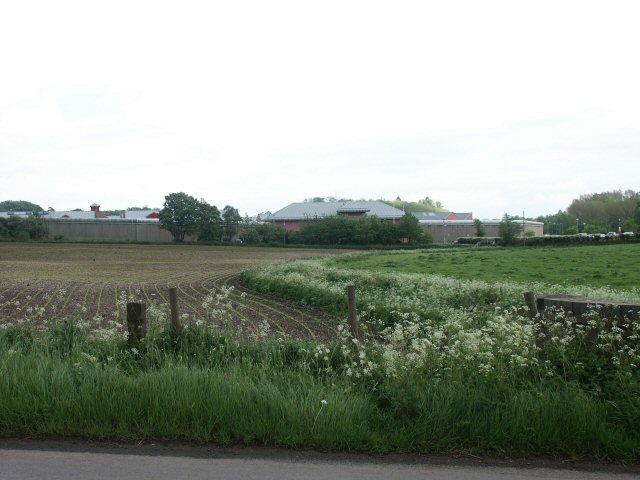
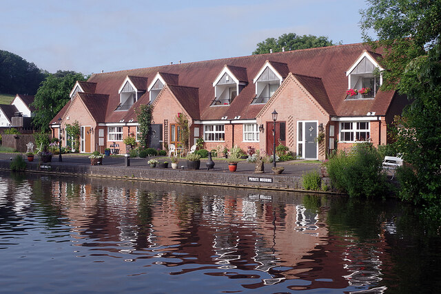
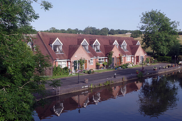
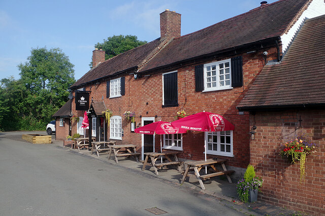
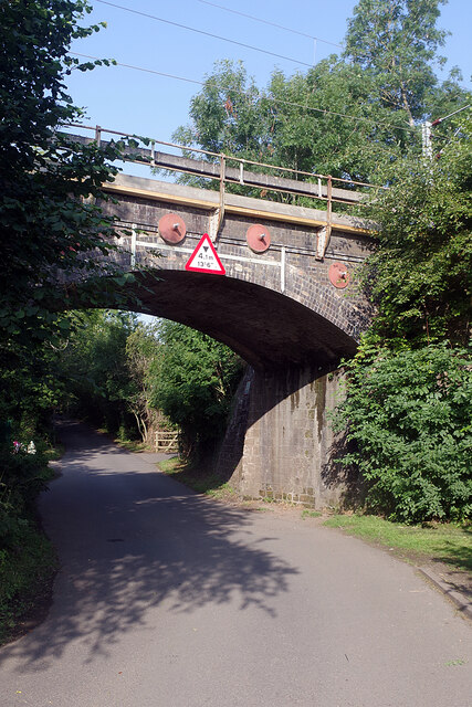
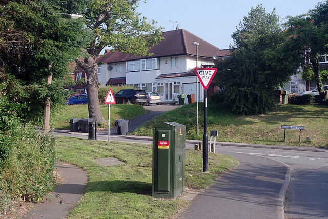
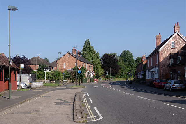
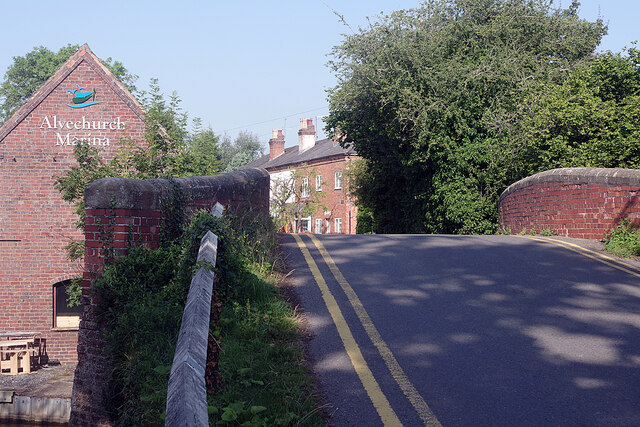
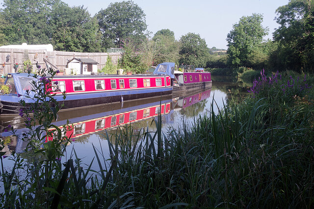
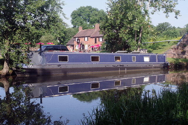
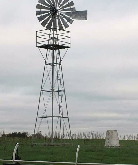
Andrews' Coppice Images
Images are sourced within 2km of 52.340219/-1.9775868 or Grid Reference SP0171. Thanks to Geograph Open Source API. All images are credited.

Andrews' Coppice is located at Grid Ref: SP0171 (Lat: 52.340219, Lng: -1.9775868)
Administrative County: Worcestershire
District: Bromsgrove
Police Authority: West Mercia
What 3 Words
///fool.agreed.vibes. Near Alvechurch, Worcestershire
Nearby Locations
Related Wikis
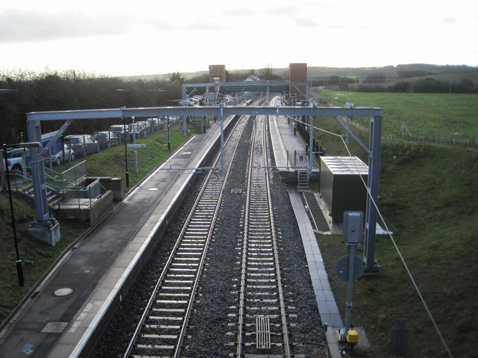
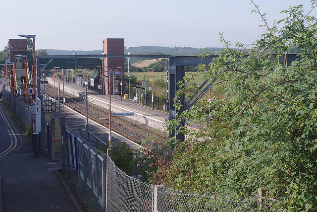
Alvechurch railway station
Alvechurch railway station serves the village of Alvechurch in North Worcestershire, England. It is on the Cross-City Line 11+1⁄4 miles (18 km) southwest...

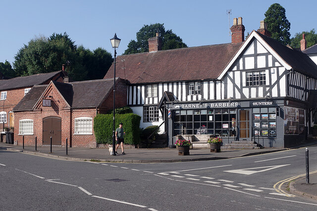
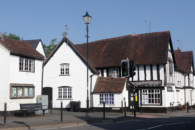
Alvechurch
Alvechurch ( ALV-church) is a large village and civil parish in the Bromsgrove district in northeast Worcestershire, England, in the valley of the River...

Alvechurch F.C.
Alvechurch Football Club is a football club based in Alvechurch, Worcestershire, England. They are currently members of the Southern League Premier Division...
Alvechurch Church of England Middle School
Alvechurch Church of England Middle School (formerly 'Alvechurch Church of England Primary School') is a coeducational Church of England middle school...
Nearby Amenities
Located within 500m of 52.340219,-1.9775868Have you been to Andrews' Coppice?
Leave your review of Andrews' Coppice below (or comments, questions and feedback).